Download presentation
Presentation is loading. Please wait.

1
Groundwater

2
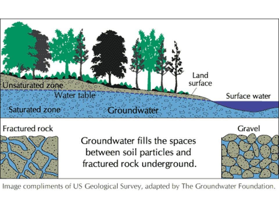
Groundwater is water that completely fills (saturates) the pore spaces of soil or rock formation below the water table. Water that shares pore space with air is called soil moisture.

3
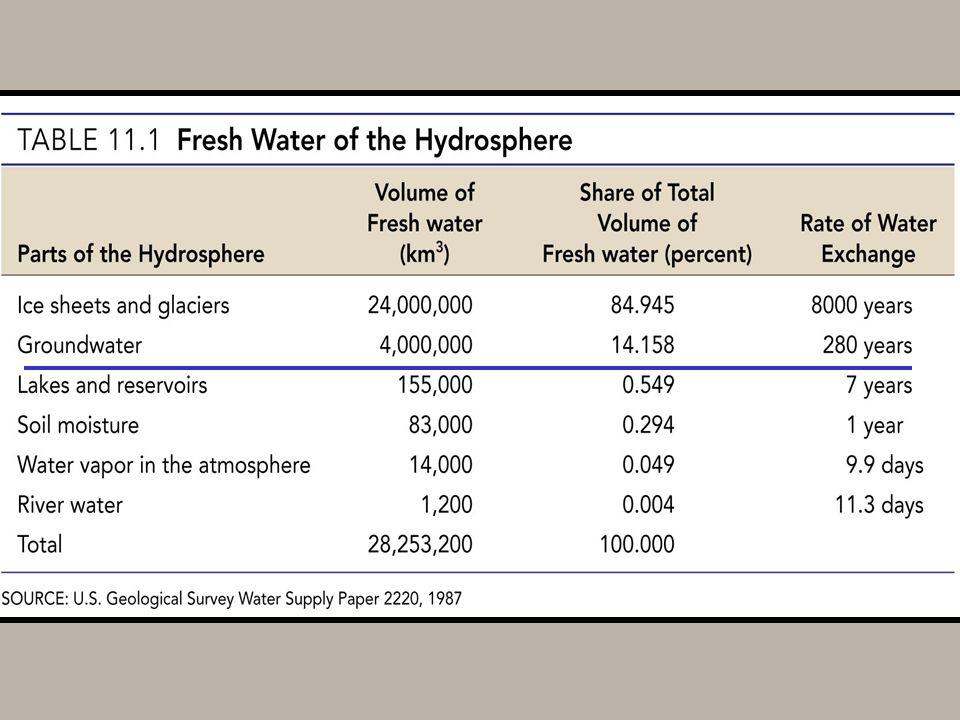
Groundwater is the largest reservoir of fresh water that is readily available to humans

6
Four factors that influence the rate at which water enters the groundwater “system” 1. Type of rock or soil 2. Climate (in dry areas, a lot of water evaporates before it soaks into the ground.) 3. Topography (steep slopes = runoff) 4. Vegetation (more vegetation = more water stays where it lands)
 3. Topography (steep slopes = runoff) 4. Vegetation (more vegetation = more water stays where it lands).")
7
Porosity Porosity is percentage of total volume of rock or sediment that consists of pore spaces.

8
Porosity

9
Factors that affect porosity Particle shape (round sediments have more pore spaces than angular sediments) Sorting (poorly sorted sediments have fewer spaces than well-sorted sediments, because smaller pieces fill the spaces between bigger ones)
 Sorting (poorly sorted sediments have fewer spaces than well-sorted sediments, because smaller pieces fill the spaces between bigger ones)")
10
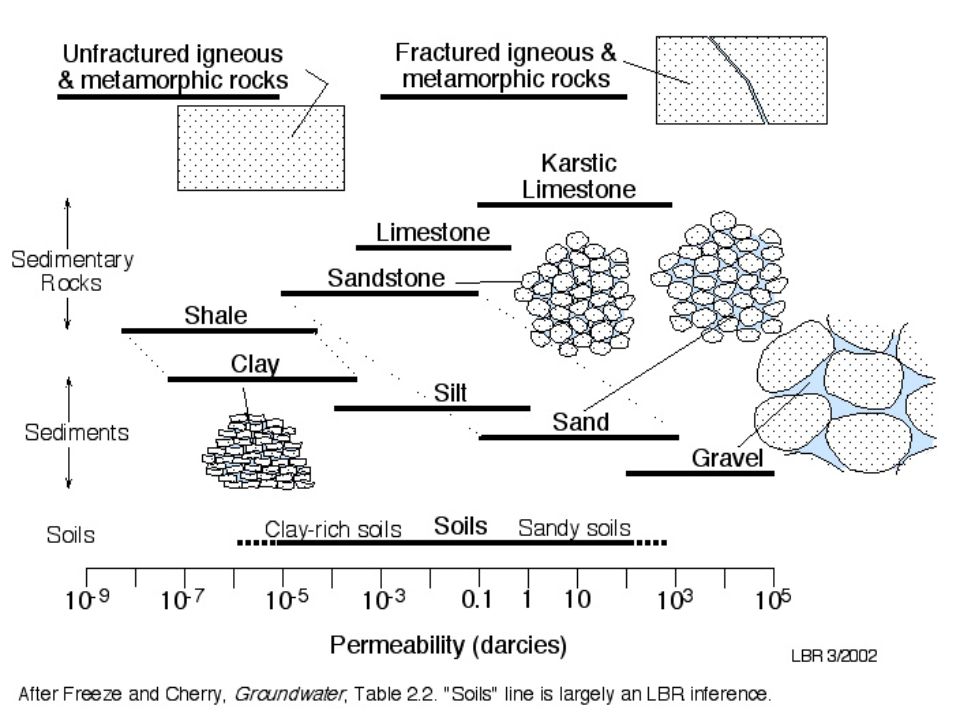
Permeability Permeability is the ability of water to flow through a rock or sediment layer, or the rate at which it does so.

12
Factors that affect permeability Pore Size- larger the pore space are, the easier water passes through. Clay and silt-sized sediments can be impermeable, because their shape allows them to overlap one another like stacks of paper. Interconnection of Pores- Pumice is not permeable because, although it is very porous, its holes are not interconnected. Presence of cracks in rock layers

13
Water Table

15
What Factors affect the Water table? Amount of Rainfall -more rain = higher water table Amount of time between rains Season Slope Soil thickness Climate How much water is being removed

17
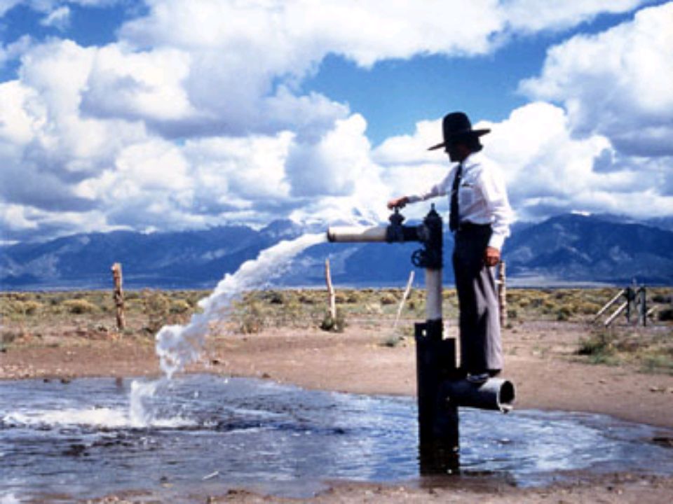
Aquifer An Aquifer is an underground layer of water-bearing, permeable rock, or unconsolidated sediment, from which groundwater can be easily extracted.

18
Aquifer Gravitational pressure

19
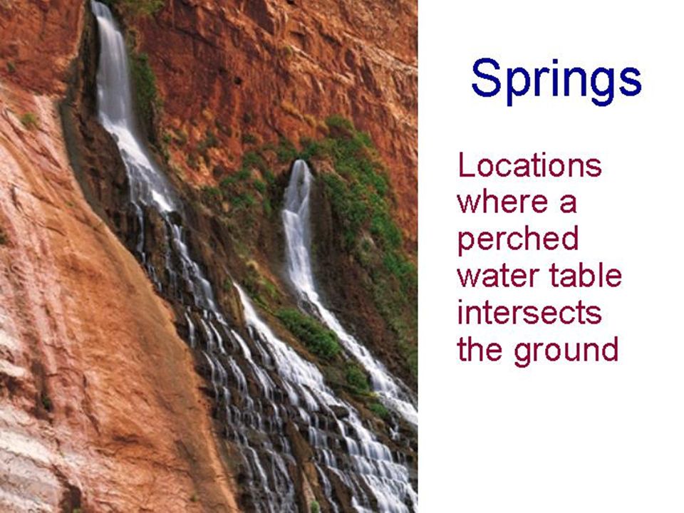
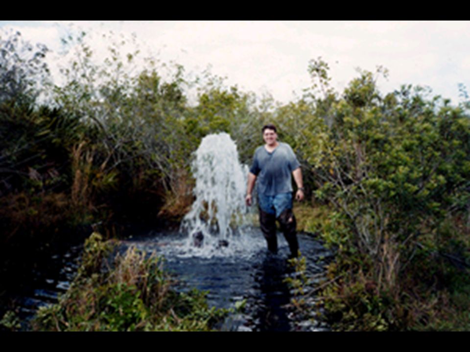
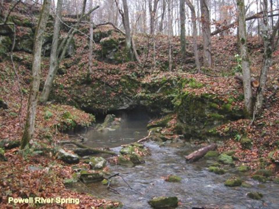
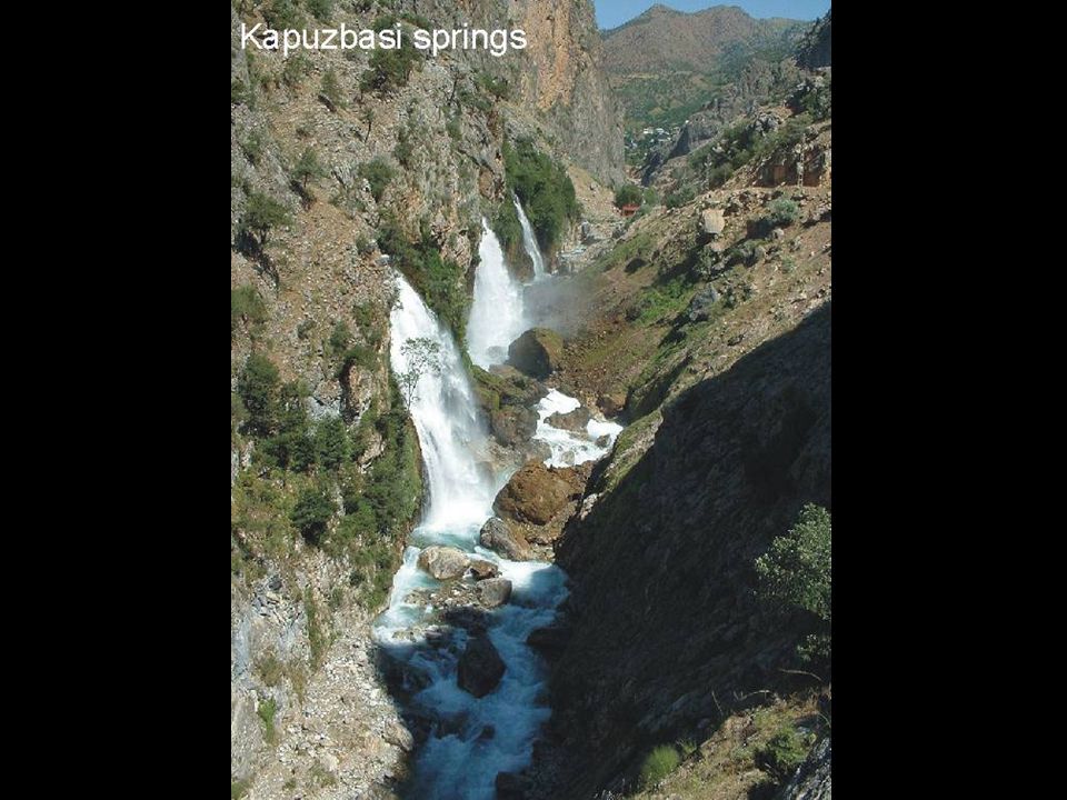
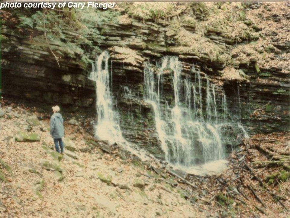
Perched Aquifers (Springs)
")
21
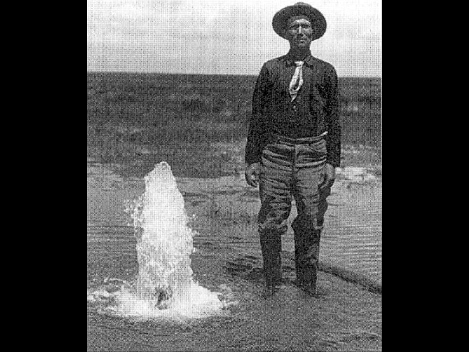
Artesian Well

25
Geyser

26
Groundwater Contamination

27
Saltwater Intrusion

28
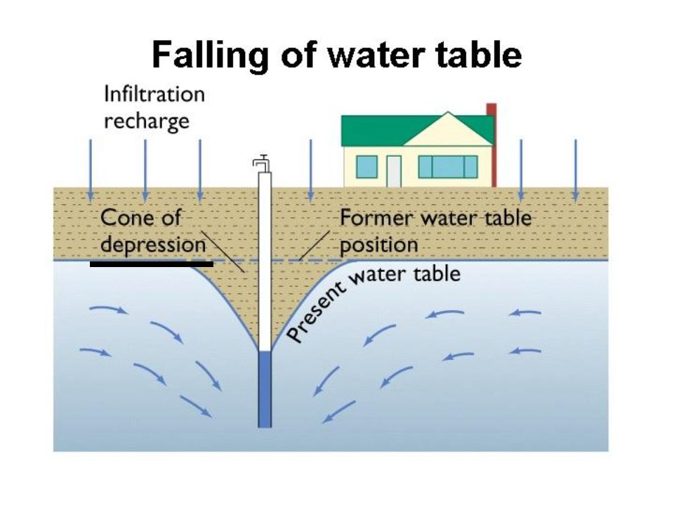
Falling water table

31
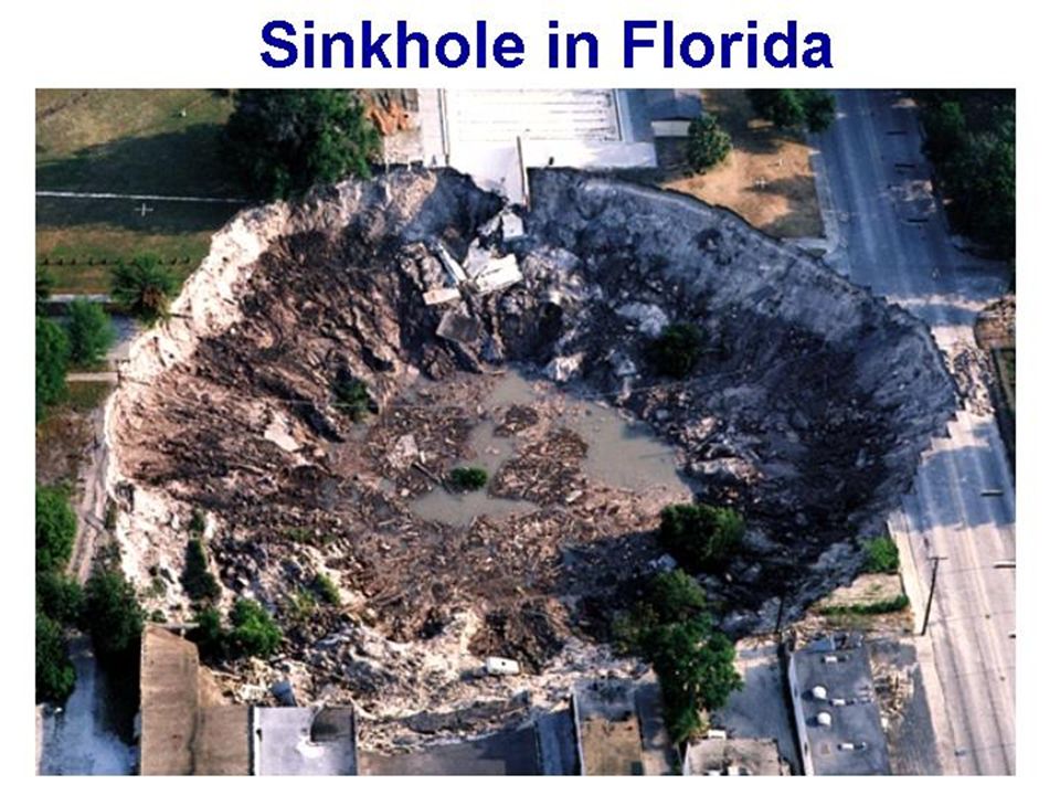
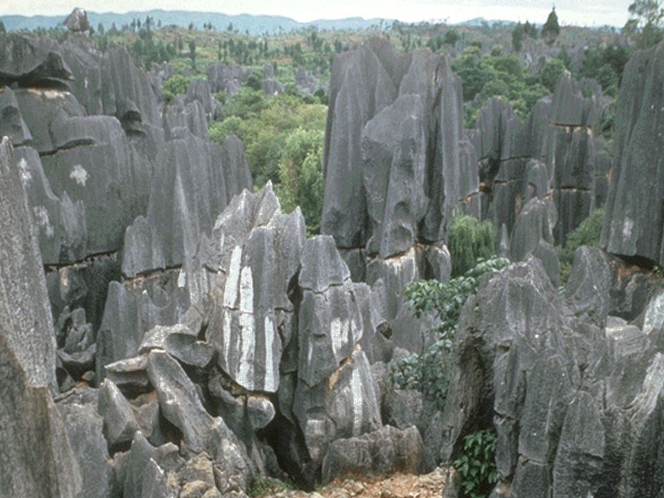
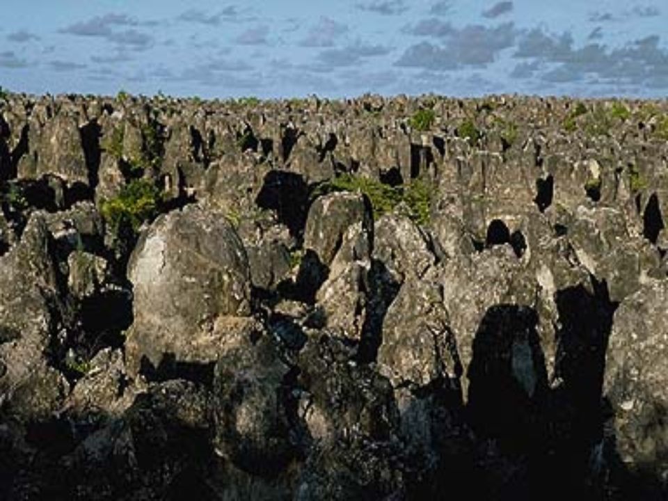
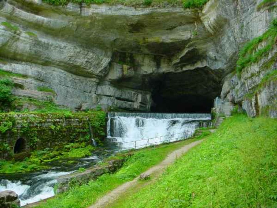
Karst Topography Karst is a topography in which the landscape is largely shaped by the dissolving action of acidic water on carbonate bedrock (usually limestone, dolomite, or marble). This geological process, occurring over many thousands of years, results in unusual surface and subsurface features ranging from sinkholes, vertical shafts, disappearing and emerging streams, and springs, to complex underground drainage systems and caves. Karst provides water for many Virginians.

32
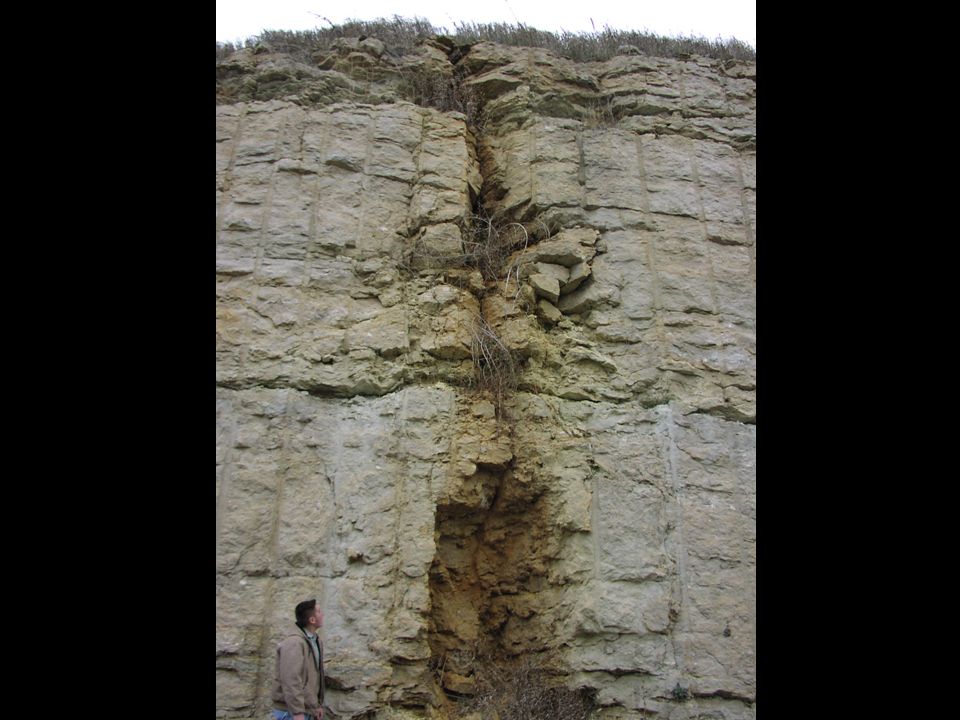
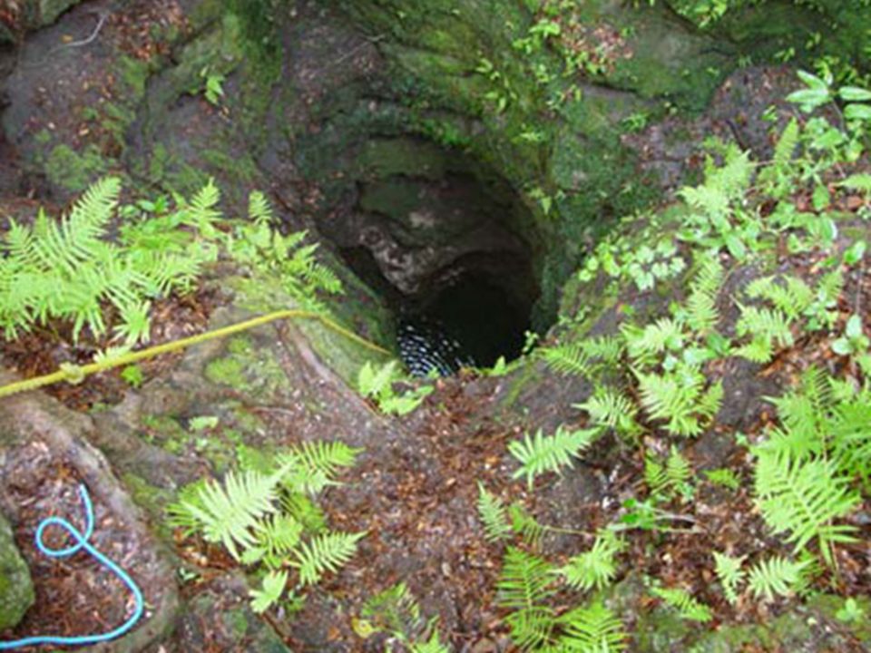
Vertical Shafts

37
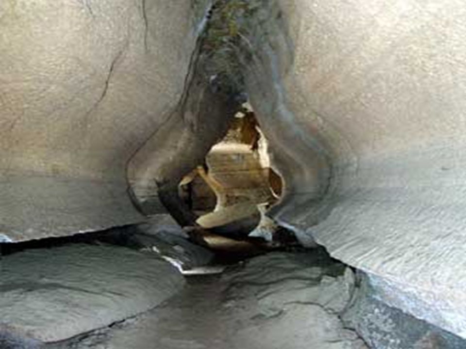
Underground Rivers

43
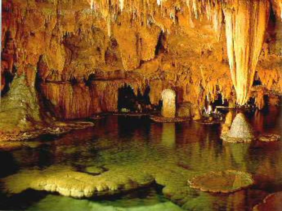
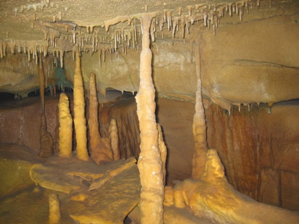
Caves

46
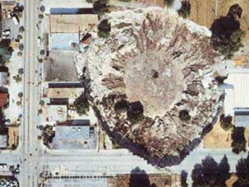
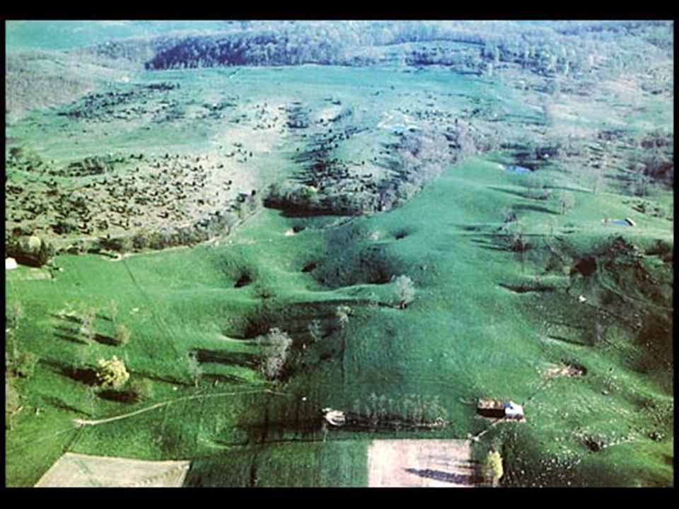
Sinkholes

48
Karst Counties in Virginia

49
West- Virginia Karst eeer

Similar presentations
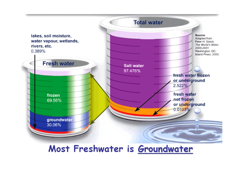


 Of the 3% of freshwater that remains 2/3 of it is frozen in the ice caps.>")


