Download presentation
Presentation is loading. Please wait.

1
February, 2010

3
Location Map

4
South Central Rail Extension One Possible Rail Route

5
DEEP-DRAFT DOCK (-60’ MLLW) The northern most Deep-Draft Dock in North America. 485’ trestle from existing barge dock leading to a dock face of 1,200’.

6
PORT DISTRICT 8,940 Acres Commercial and Industrial Development 1,130 Acres Borough Owned Tidelands

7
Permitted Expansion of Barge Dock and Deep-Draft Dock

8
Barge Dock to be constructed Summer 2010

9
Winter/Summer Operations

10
Port MacKenzie Ferry Terminal Building

11
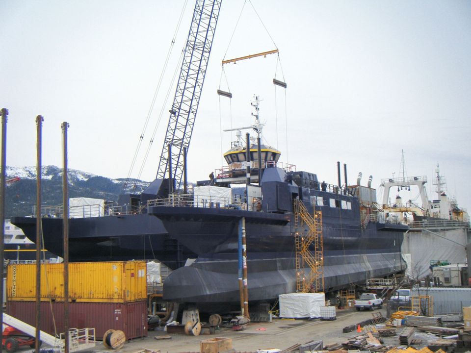
E-Craft M/V SUSITNA

15
South Central Rail Extension One Possible Rail Route

16
EIS Corridors Under Consideration Note: These lines represent possible corridors and are subject to change. 3 rd party contractor may arrive at additional routes as part of EIS process. Draft EIS – Expected for public review in October 2009 Final EIS – Expected in early Spring 2010

17
17 Rail Loop Under Construction

18
Gravel Excavation Project 451,000 tons for the Port of Anchorage Expansion Project July 2008

19
Bi-Modal Alignment Spring Tree Removal Summer Topsoil Removal Operations Fall Excavation and Fill Work

20
Port Mackenzie; the Shortest Distance to Tidewater (Coal now has to travel to Seward)
")
21
Only Alaskan Port with space for a Mile Long Rail Lo op (Example of loading cement on Loop Track) - Potential Lime/Cement Exports-
 - Potential Lime/Cement Exports-")
22
Port MacKenzie - Military Logistics Option

23
Advantages and Savings of Using South Central Rail Extension to Port MacKenzie Transportation Savings…………$533 million (Benefit/Cost Ratio)……………(1.9/1) Benefits to Alaska from New Mines - Gross Metal Value……………..$172 billion - Community Benefits……...Permanent Jobs and Long-term Economic Engine State Revenue……………………$6.3 billion
……………(1.9/1) Benefits to Alaska from New Mines - Gross Metal Value……………..$172 billion - Community Benefits……...Permanent Jobs and Long-term Economic Engine State Revenue……………………$6.3 billion")
24
Summary of Rail Extension Statewide Benefits Supports Gas Pipeline Construction (mainline & spur line) New Interior Resource Development Opportunities (Benefits are $61M to $737M per year for 100+ years) Limestone Portland cement manufacture Strategic Minerals (nickel, molybdenum) Improved global price competitiveness of Alaska coal Transport Low Sulfur Fuel North (Interior, Southwest Alaska, North Slope) Alternate rail link to Interior ( military mobilization/natural disaster /terrorism ) Decreased rail congestion ( Willow to Anchorage ) Diversified Economy
 New Interior Resource Development Opportunities (Benefits are $61M to $737M per year for 100+ years) Limestone Portland cement manufacture Strategic Minerals (nickel, molybdenum) Improved global price competitiveness of Alaska coal Transport Low Sulfur Fuel North (Interior, Southwest Alaska, North Slope) Alternate rail link to Interior ( military mobilization/natural disaster /terrorism ) Decreased rail congestion ( Willow to Anchorage ) Diversified Economy")
25
Rail Project Project Scheduling Phase 1 – EIS - $10 Million: 2007-2009 Phase 2 – Bi-Modal Loop & first 11 mile segment - $17.5 Million: 2008-2009 - Permitting - Design of Bi-Modal Loop, Reserve and 11 miles - Right-of-way acquisition for Bi-Modal and 11 miles - Construction Bi-Modal Loop Phase 3 – First 11 Mile Segment and EIS selected alternative – ($57 Million): 2010 - Construction of First 11 Mile Segment - Permitting, Design of EIS Selected Alternative Phase 4 – EIS Selected Alternative – (*$150 Million): 2010-2011 - Construction Phase 5 – Track and Ancillary Facilities – (*$41 Million): 2012 - Construction (laying rail, installing signals, etc.) - Project Completion Fall of 2012 *Note: Projected cost of $274 is expected to be adequate. Cost will be dependent on alternative selected in EIS

26
February, 2010

Similar presentations