Download presentation
Presentation is loading. Please wait.

1
Story from Topeka George Phillips Science and Operations Officer NWS – Topeka KS

2
Topics 3D Radar Displays Help for Drawing Initial Polygon Integrating Environmental Information Into Warngen Display Automatic 8 Bit Data from surrounding RDAs Best Practices

3
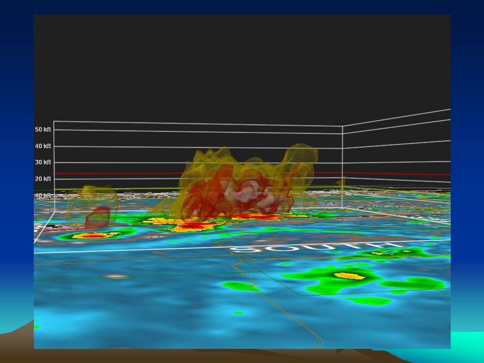
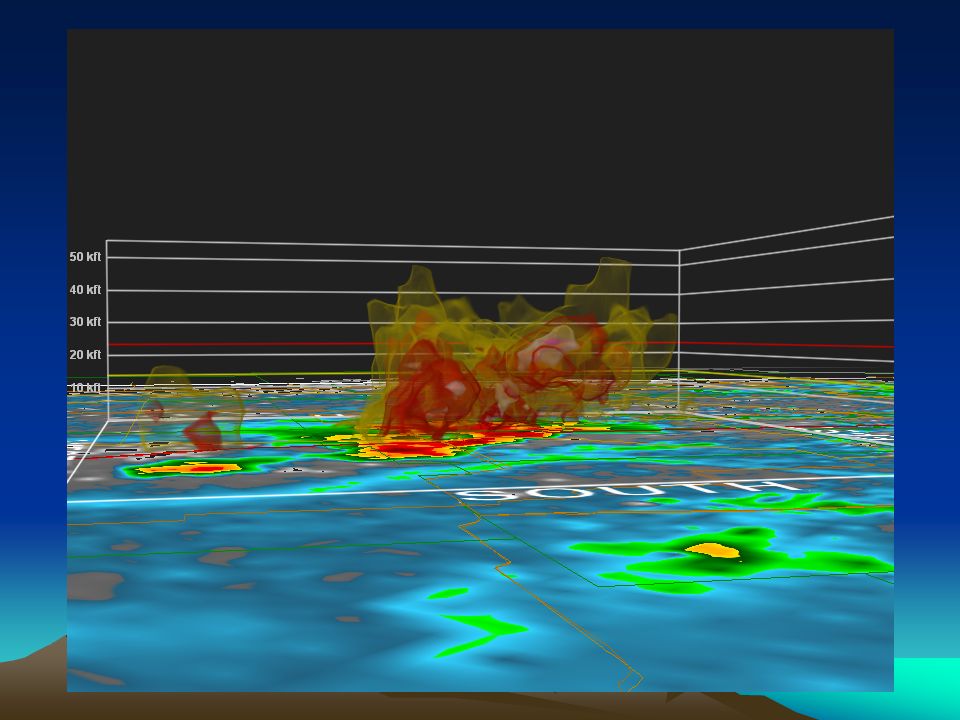
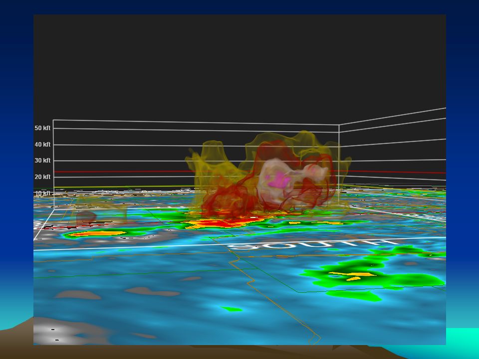
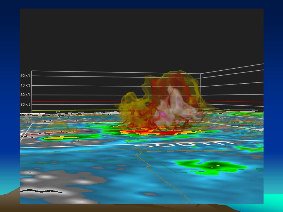
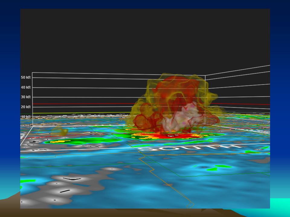
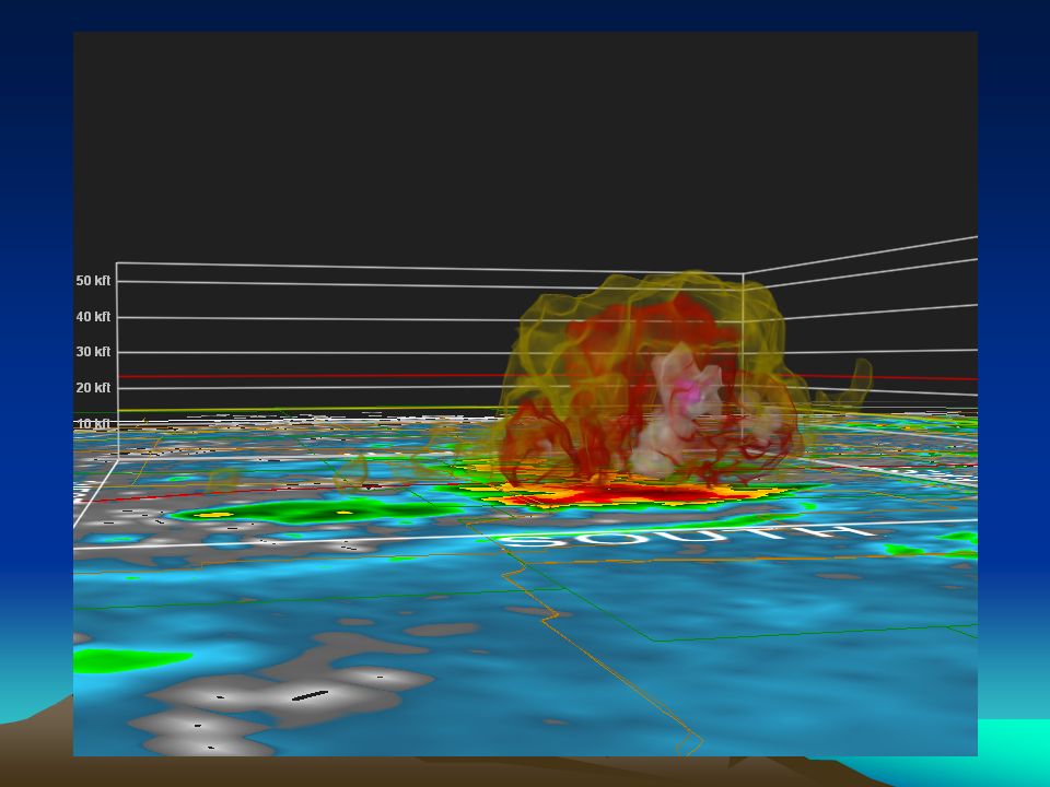
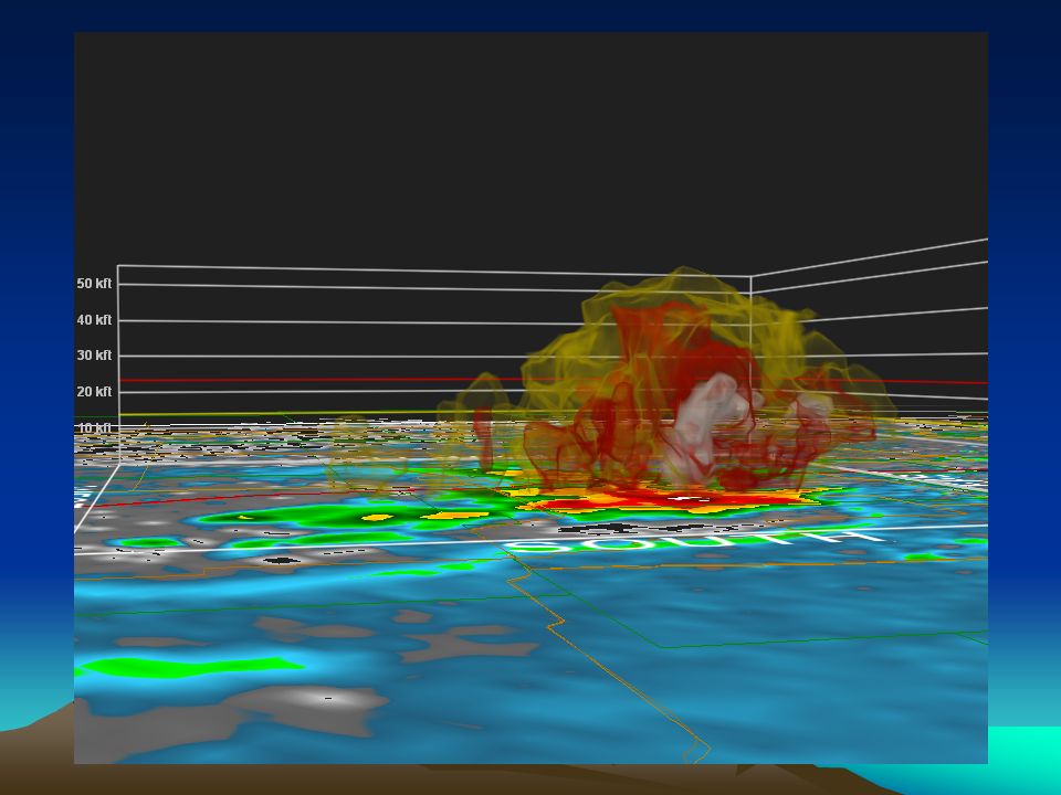
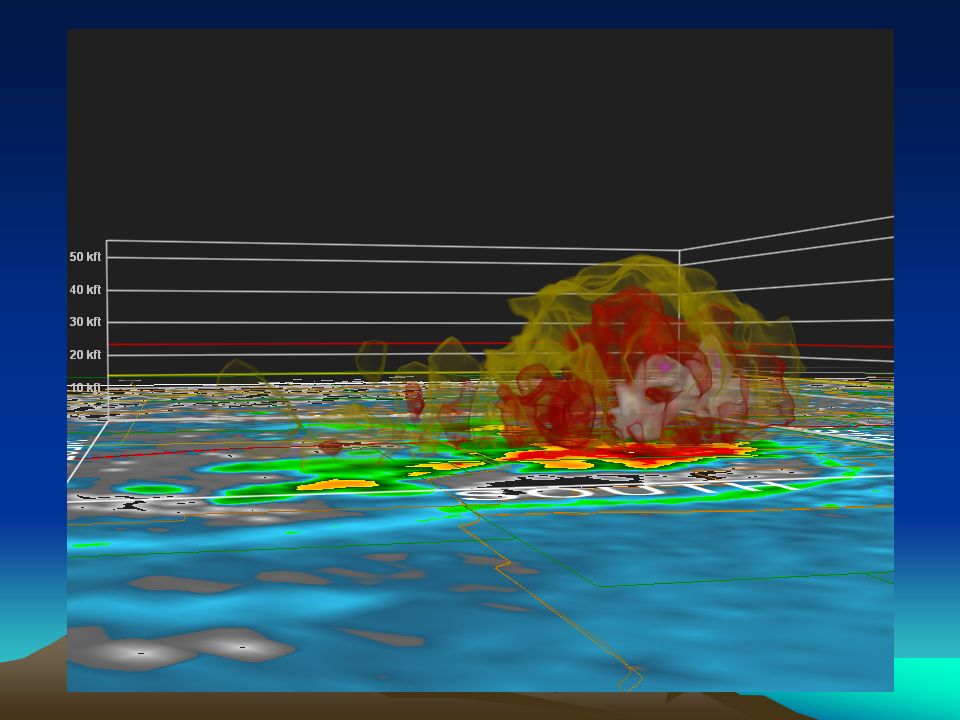
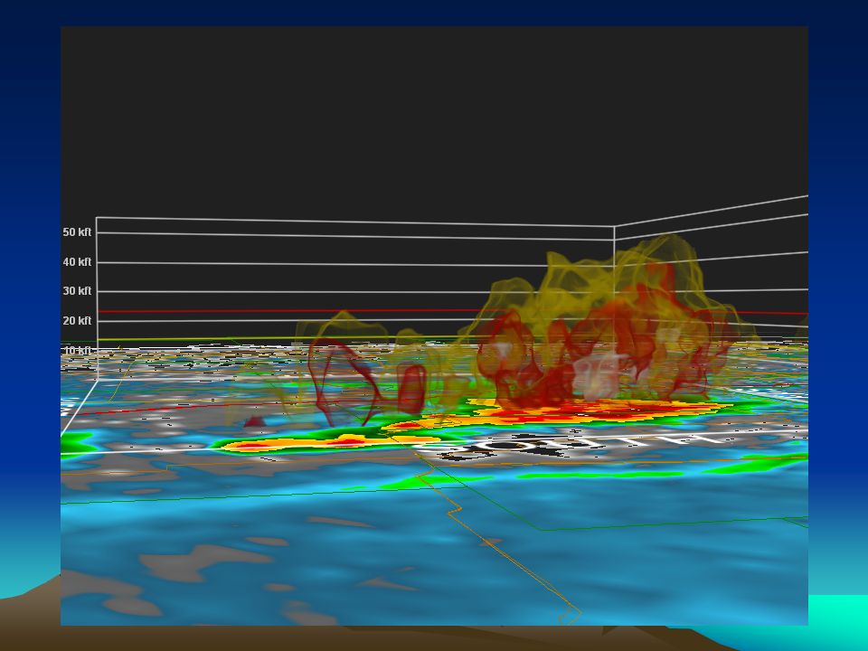
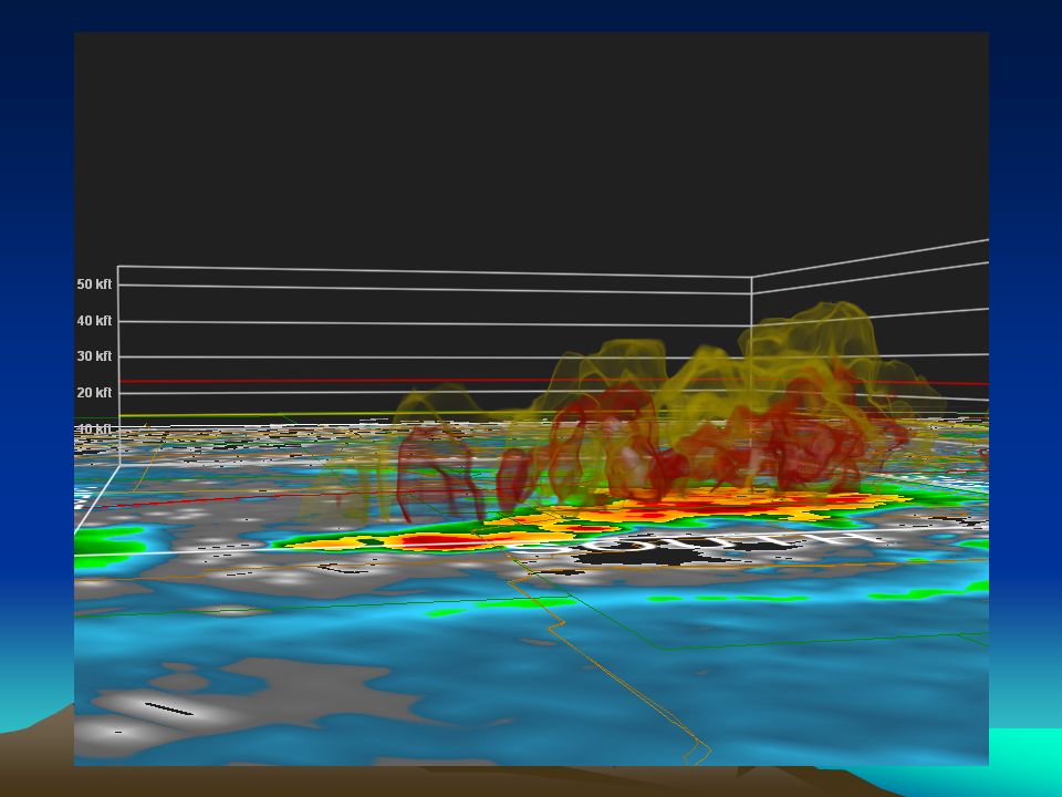
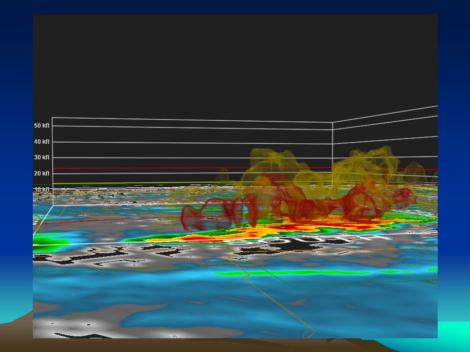
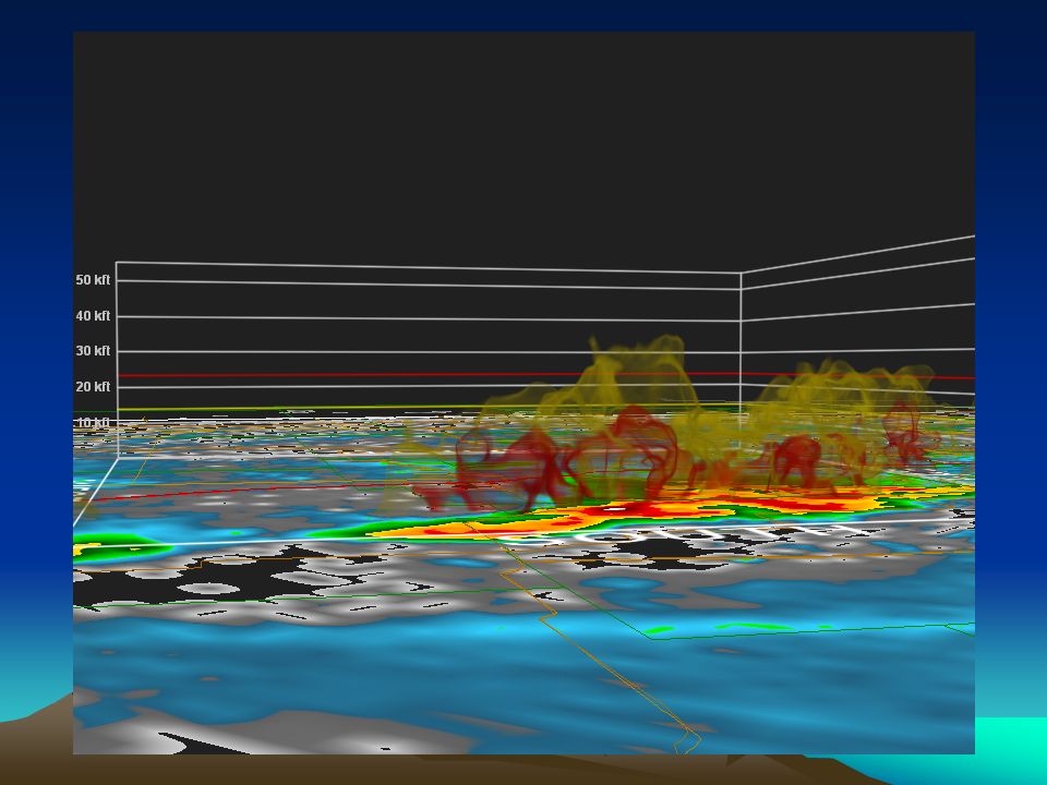
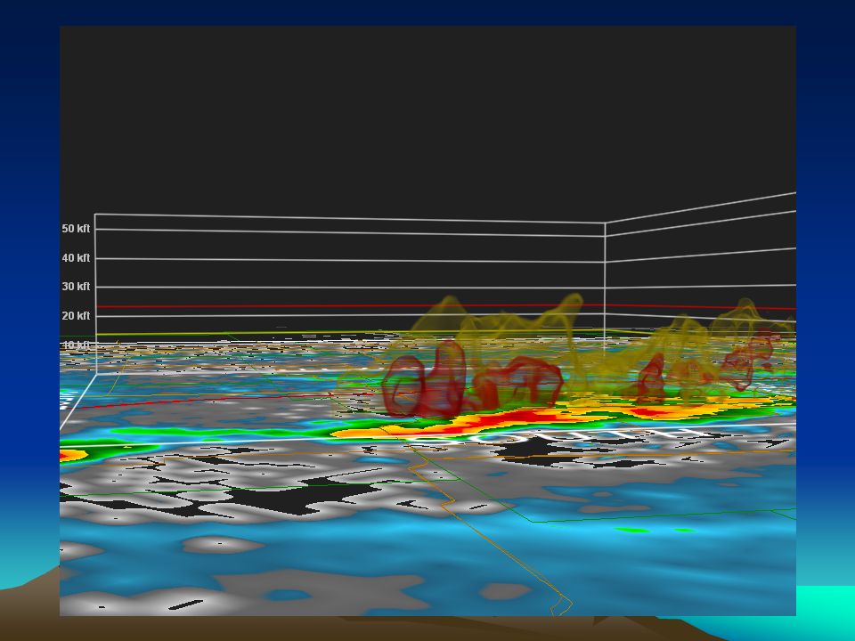
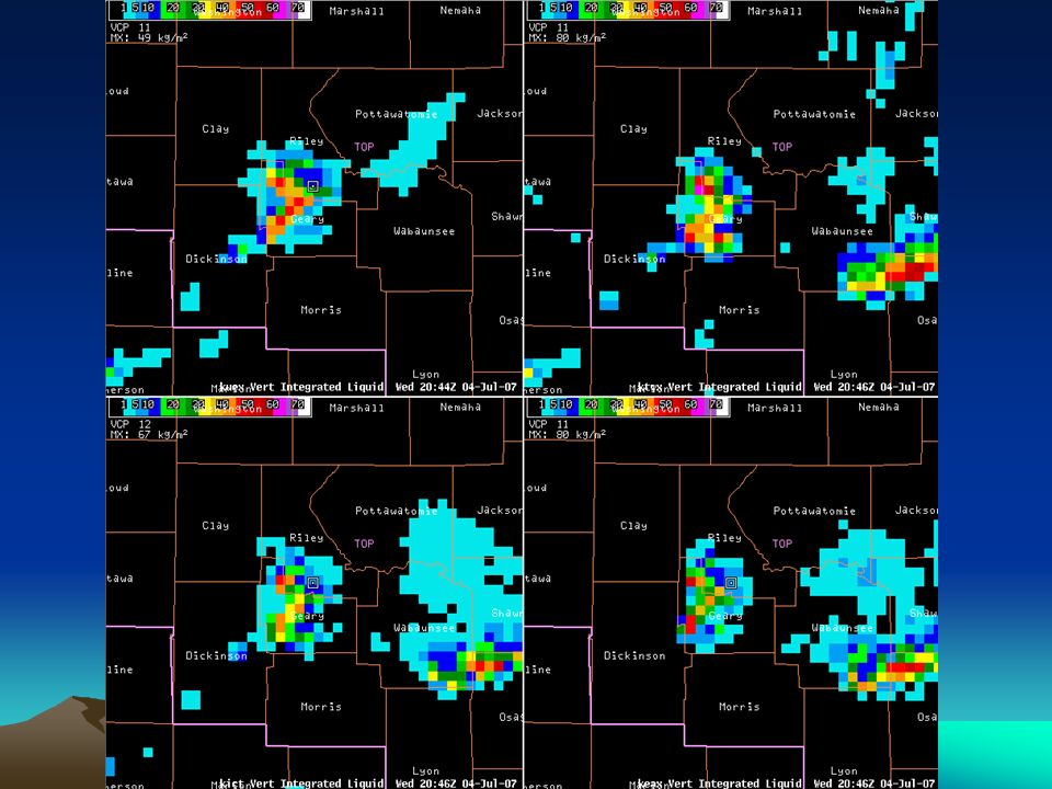
3D Reflectivity 4-panels and All-Tilts great, have strengths, but also obvious limitations Upcoming FSI and multi-radar products will enhance our ability to visualize storms in three dimensions and decrease limitations 3D type displays like GR2AE: – tremendous at helping evaluate reflectivity in 3D and its evolution through time –able to help us quickly evaluate the vertical extent of various reflectivity “surfaces” vs. height (AGL or temperature level)
.")
4
GR2AE at Topeka Utilized since June 2006 as supplementary data/display Mets use 3D reflectivity almost exclusively while using in real-time Primarily for determining: –Vertical extent of reflectivity surfaces –Structures associated with supercells –Time evolution of previous two items Incredibly fast to be able to quickly investigate several storms

20
GR2AE at Topeka (cont) Also used for: –Post storm analysis –Viewing 8bit data from cases prior to 2003 –Investigating storms in other CWAs –Obtaining 8bit data in real time from adjacent radar
 Also used for: –Post storm analysis –Viewing 8bit data from cases prior to 2003 –Investigating storms in other CWAs –Obtaining 8bit data in real time from adjacent radar")
21
AWIPS 3D Display Needs AWIPS 3D Display Needs Speed, speed, speed Transparencies Customizable color curves Easily manipulated views Customizable display of environmental data heights (0C, -20C, etc.)
")
22
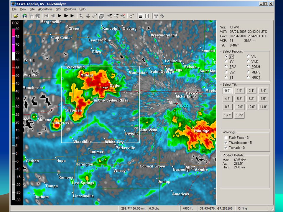
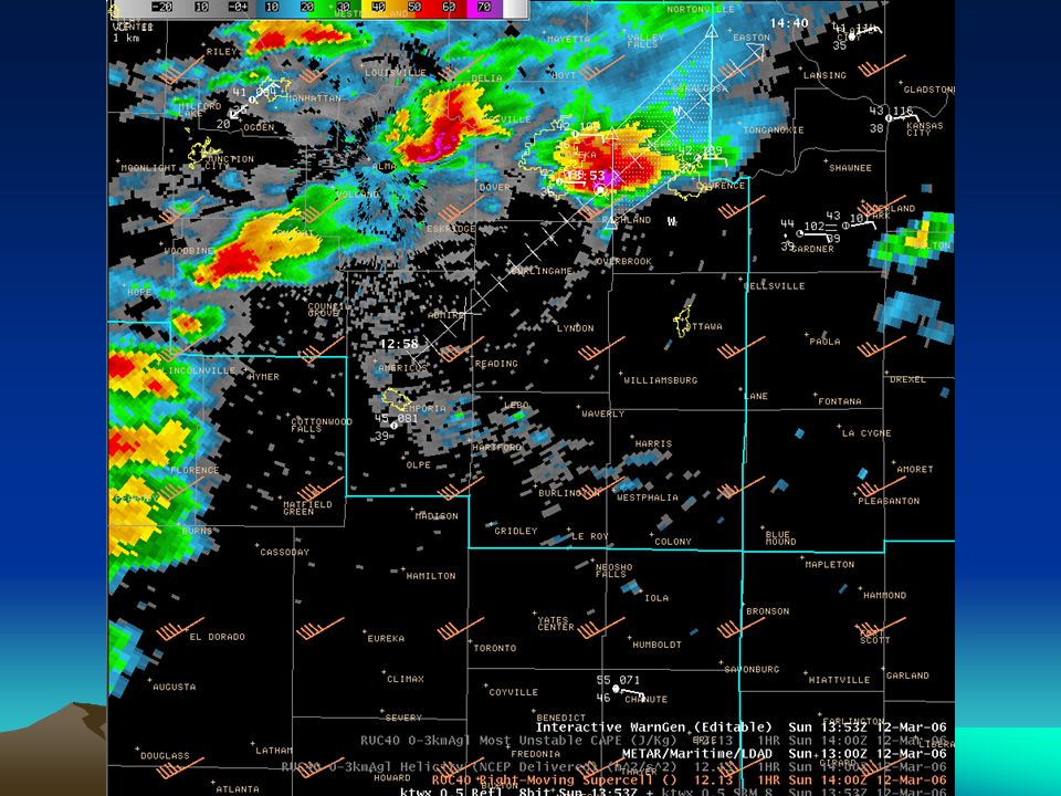
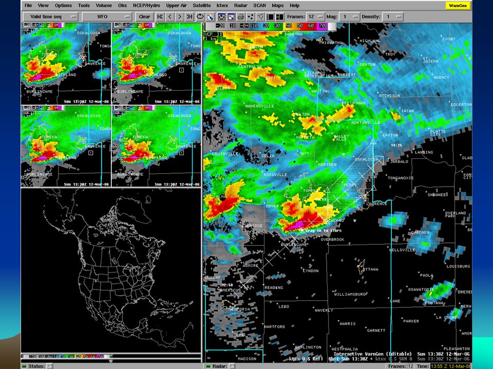
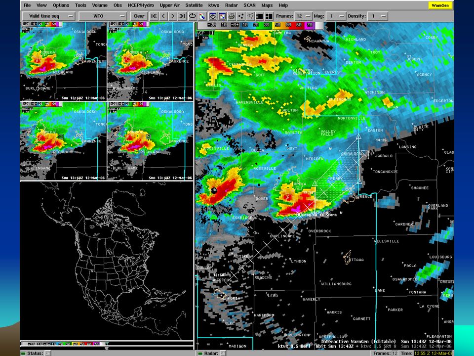
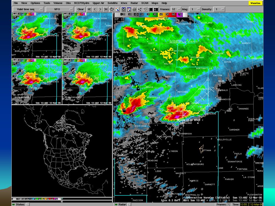
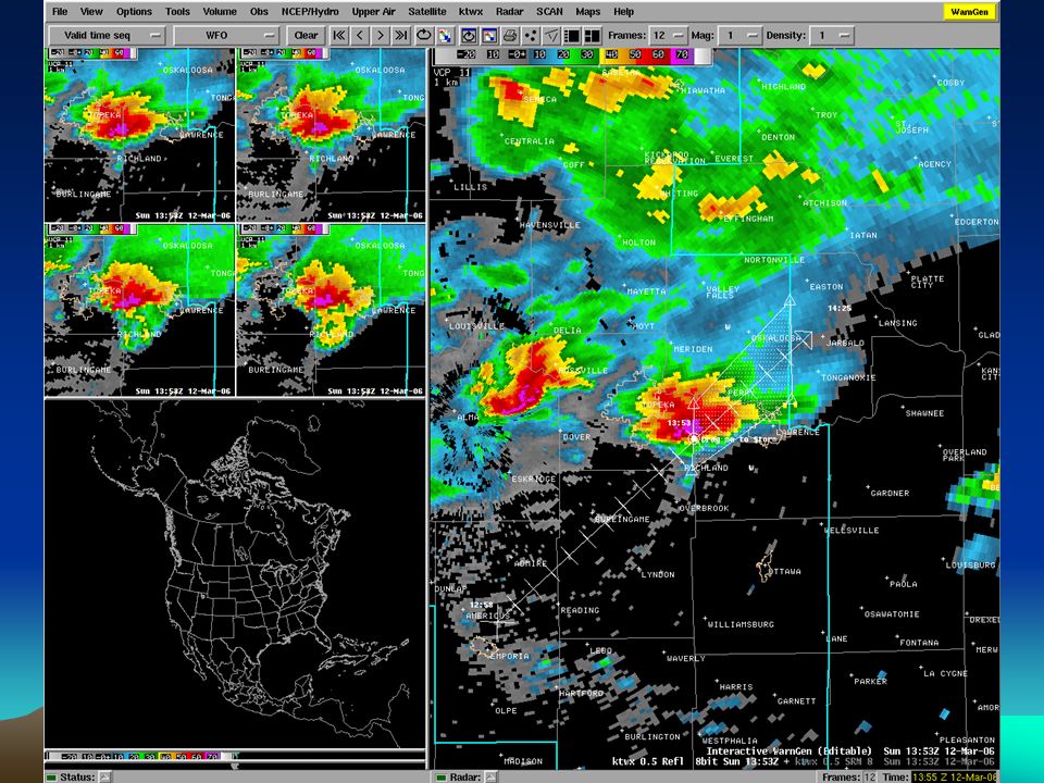
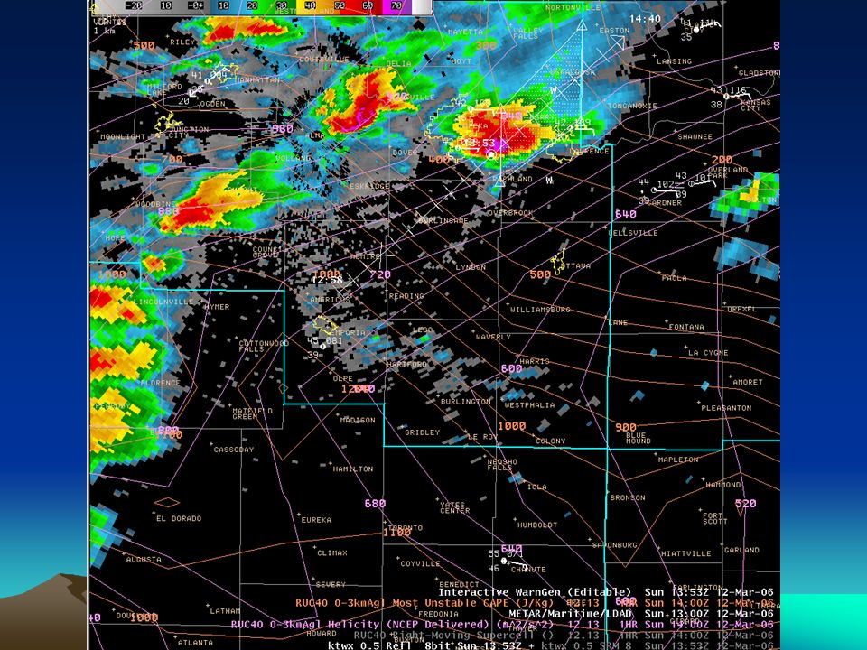
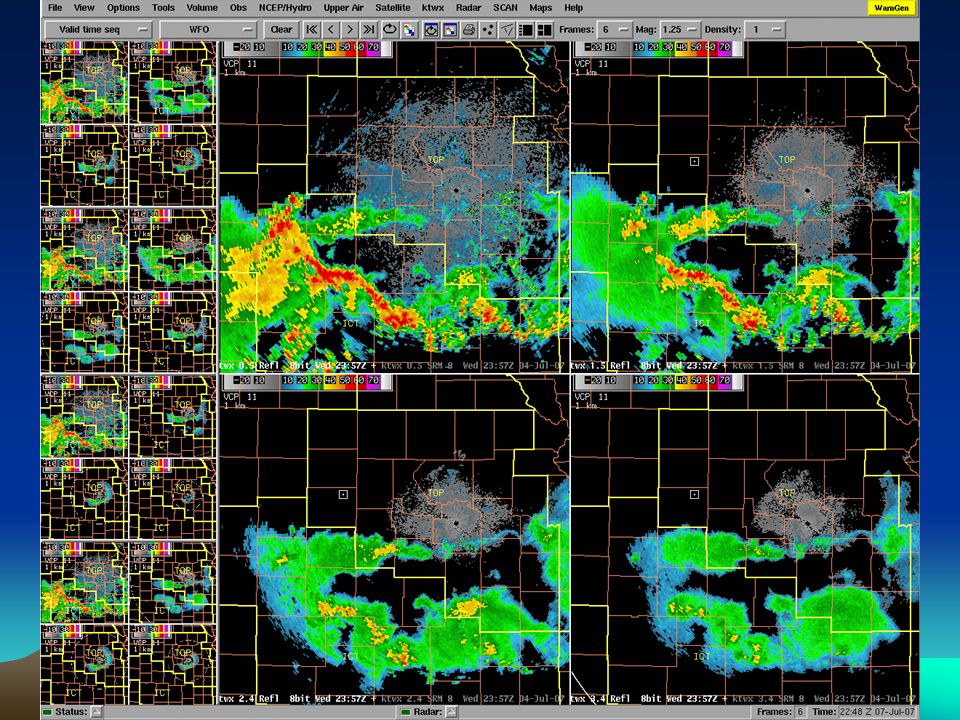
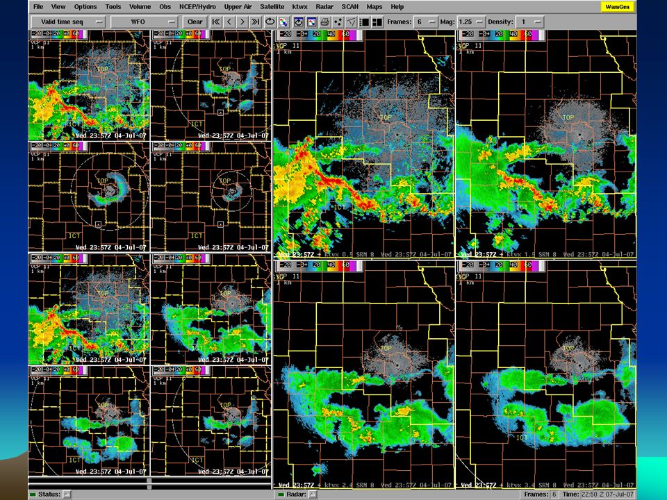
Initial Polygon Issues Early use of Warngen resulted in polygons that were almost purely the result of extrapolation (or, in some places, whole counties) As experience was gained, emphasis was placed on better forecasting of future storm movement and development –Pure polygon warnings make this critically important –This is always going to be challenging Displays that enable warngen panel synch with higher elevation angles or CAPPI would be good
 As experience was gained, emphasis was placed on better forecasting of future storm movement and development –Pure polygon warnings make this critically important –This is always going to be challenging Displays that enable warngen panel synch with higher elevation angles or CAPPI would be good")
29
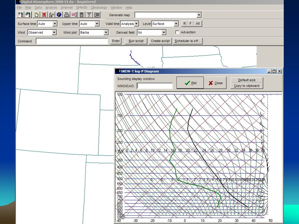
Better Integration of Environmental Info Into WDM Still an area where WDM improvements can help performance Olden days (AFOS and PUP) –Briefing/Self-Briefing on environment –During event, hopefully mesoscale analyst –Challenging for WDMaker to effectively utilize changing environment significantly in decision AWIPS –Huge improvement with overlay capabilities –Further help with advanced Volume Browser fields Anything further to tie environment to radar displays/evolutions will help Constant learning process Always with a caution about representativeness of environmental data Additional, reliable and timely mesonet data would be huge Easy LAPS/RUC sounding generation from main Warngen panel would be helpful
 –Briefing/Self-Briefing on environment –During event, hopefully mesoscale analyst –Challenging for WDMaker to effectively utilize changing environment significantly in decision AWIPS –Huge improvement with overlay capabilities –Further help with advanced Volume Browser fields Anything further to tie environment to radar displays/evolutions will help Constant learning process Always with a caution about representativeness of environmental data Additional, reliable and timely mesonet data would be huge Easy LAPS/RUC sounding generation from main Warngen panel would be helpful")
31
Easy Sounding Generation from Warngen Panel Possible functionality –Right-click on display –Choose Generate Sounding –Choose LAPS/RUC/etc. –Essentially sampling as cursor moves across screen –Parameters may have be to simple for speed Anything that makes it easier to integrate environment into WDM makes learning easier Adds confidence level to evaluation of semi- black-box plan view environmental fields

33
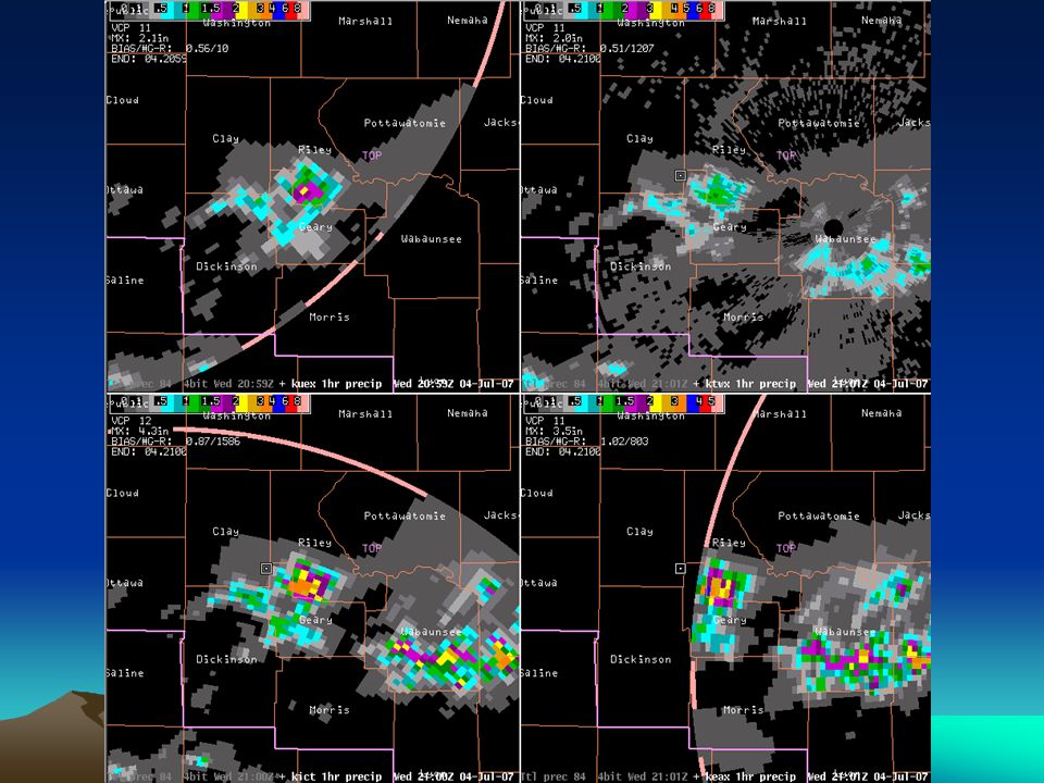
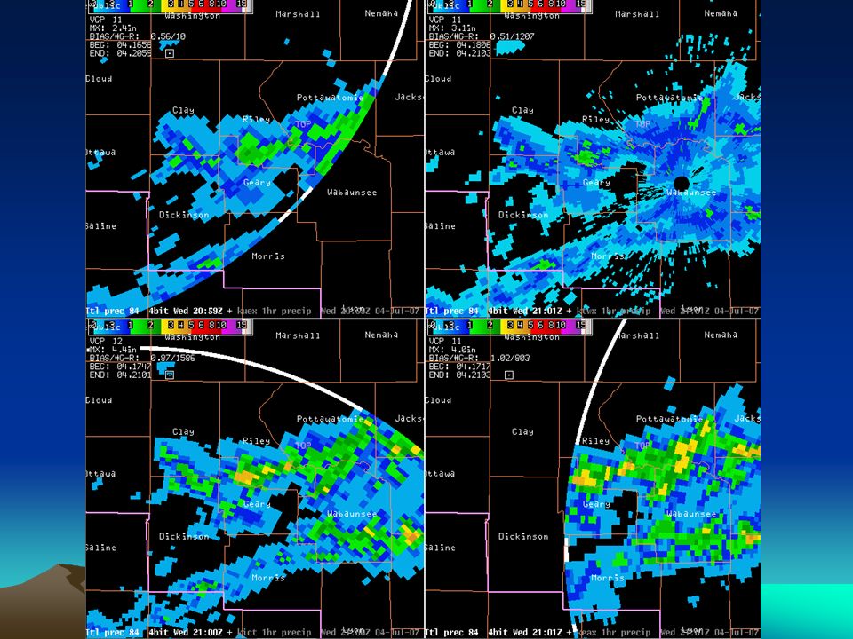
Automatic 8 bit Data from Surrounding RDAs RMRs slow, limited and timing of request critical Script to change to dedicated user? One radar. Anyone use this? Took forever to get 4-panels of 4-bit from other radars Significant handicap if own RDA goes down or investigating storms closer to nearby RDA We didn’t know how bad 4-bit was until we had 8-bit ;-)
.")
34
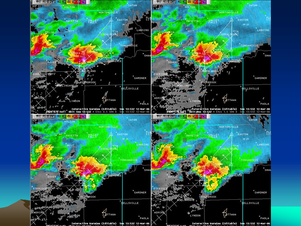
Best Practices? Not really, but perhaps helpful since others coming into our office hadn’t seen it Keeping track of what is in small panes is a pain CWA map backgrounds in procedures from surrounding RDAs different colors CWA map backgrounds in procedures for multi- radar 4-panels different color Varying elevation 4-panel procedures from same RDA have different line style

41
Wrapup 3D Radar Displays Help for Drawing Initial Polygon Integrating Environmental Information Into Warngen Display Automatic 8 Bit Data from surrounding RDAs Best Practices? –CWA map background colors/styles –Multi-radar 4-panels

Similar presentations


>")


 for Public Safety>")