Download presentation
Presentation is loading. Please wait.

1
Current and Future Initialization of WRF Land States at NCEP Ken Mitchell NCEP/EMC WRF Land Working Group Workshop 18 June 2003

2
Initialization Requirements for Unified Noah LSM in NCEP Eta and WRF runs Prognostic State Variables –Soil moisture (liquid and frozen): 10, 30, 60, 100 cm –Soil temperature: 10, 30, 60, 100 cm –Snowpack: actual and water-equivalent depth –Canopy water content: intercepted precip, dew Land Surface Characteristics –Soil class –Land-use class (e.g vegetation, urban) –Vegetation phenology (seasonal cycle of greenness) –Vegetation and soil physical parameters
: 10, 30, 60, 100 cm –Soil temperature: 10, 30, 60, 100 cm –Snowpack: actual and water-equivalent depth –Canopy water content: intercepted precip, dew Land Surface Characteristics –Soil class –Land-use class (e.g vegetation, urban) –Vegetation phenology (seasonal cycle of greenness) –Vegetation and soil physical parameters")
3
LSM Initialization Philosophy at NCEP Optimum for WRF or Eta models –Eta or WRF model has its own continuously cycled data assimilation system with same LSM physics, soil layers, grid, terrain, land mask, fixed fields of land use and soil class, physical parameters Coupled (EDAS/GDAS): all land surface forcing from parent atmosphere model (may include precipitation assimilation) Uncoupled (NLDAS/GLDAS): precipitation and solar insolation forcing are from non-model sources
: all land surface forcing from parent atmosphere model (may include precipitation assimilation) Uncoupled (NLDAS/GLDAS): precipitation and solar insolation forcing are from non-model sources")
4
LSM Initialization Philosophy at NCEP Best alternative when continuous cycling not available –When? WRF or Eta executed on a domain different from cycled WRF or Eta data assimilation system Ensemble runs as coarser resolution Ultra high resolution: dispersion modeling Local meso model runs: field offices, labs, universities –How ? Take land states, land-use map, soil map, parameters from most-similar fully cycled land data assimilation system: same LSM, same soil layers Use nearest neighbor interpolation to obtain land states, land- use map, soil class map and apply same parameter tables

5
In the forecast period between the analysis steps of the 12h pre-forecast data assimilation period, at each time step and at each point where observed precipitation is available, we compare P mod to P obs, then modify the model’s temperature, moisture, cloud and rain field to be more consistent with observed precipitation. EDAS: Eta/Noah, 12-km with precip assimilation Pre-forecast data assimilation period Free forecast period

7
Interannual variability of North American Monsoon - interior Southwest moist July 1999 July 2000 obs Eta 0024123648 29 C 16 23 30 16 24 32 0024123648 obs Eta July 2001 dry semi-dry 33 C Eta forecast hour 32 C 0024123648 16 24 32 Moist soil in Eta Dry soil in Eta Semi-dry soil in Eta

8
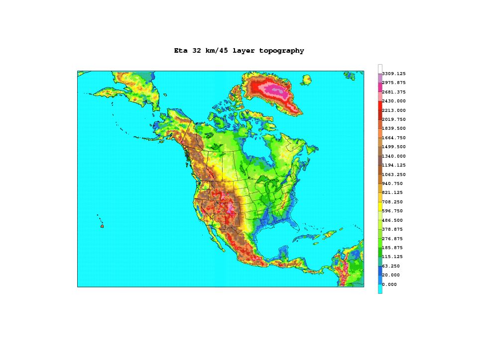
Sources of Noah Land States at NCEP Coupled cycled LDAS: Realtime –EDAS: 12-km Eta/Noah (4 soil layers: 10, 30, 60, 100 cm) –GDAS: 1-deg GFS/OSU (2 soil layers: 10, 190 cm) Coupled cycled LDAS: Historical –Global Reanalysis I: 1948- present (GDAS: 2.5 deg) –Global Reanalysis II: 1979-present (GDAS: 2.5 deg) –Regional Reanalysis: 1979-2004 (EDAS: 32-km) Uncoupled cycled LDAS: Realtime parallels –NLDAS (N. American Land Data Assimilation System) 1/8-deg, CONUS grid, Noah LSM, 4 layers –GLDAS: Global Land Data Assimilation System ½-deg, Noah LSM, 4 layers NASA spearheaded
 1/8-deg, CONUS grid, Noah LSM, 4 layers –GLDAS: Global Land Data Assimilation System ½-deg, Noah LSM, 4 layers NASA spearheaded.")
9
Initializing 8-km WRF/Noah runs at NCEP Present: From 12-km EDAS –WRF uses same Noah LSM as EDAS –WRF use same Noah LSM parameter tables –Land States from nearest neighbor interpolation –Land-class and soil class from nearest neighbor –Soil temperature profile adjusted for terrain height differences –Frozen soil moisture adjusted if soil temperature adjusted Future: From 8-km NLDAS executing on WRF grid

10
Expanding LSM-related content in NCEP Eta/EDAS/NLDAS GRIB output All land states at all soil layers –Total and liquid soil moisture –Actual and physical snow depth Land use class and soil class Fundamental vegetation and soil parameter fields Nearest neighbor interpolation from native grid to chosen output grid

11
LSM Issues for WRF SI Pass two land-use fields to WRF –Default –From same source as input land states Pass two soil-class fields to WRF –Default –From same external source as input land states Pass flag for source of WRF land-use and soil class fields –True=Default, False=External Pass label indicating source of input land states –e.g. EDAS, AGRMET, NLDAS, RUC, HRLDAS VTABLE: Multiple GRIB tables employed in GRIB file –NCEP GRIB Tables 2, 129 (cloud micro), 130 (land-related) VTABLE: How handle new GRIB grid numbers? –NCEP Eta output grid #’s 110, 218, 221 (drop 212 as standard)
, 130 (land-related) VTABLE: How handle new GRIB grid numbers. –NCEP Eta output grid #’s 110, 218, 221 (drop 212 as standard).")
Similar presentations


 National Center for Atmospheric.>")
>")


 National Center.>")


 model had been developed by various research and governmental agencies became the.>")


>")

