Download presentation
Presentation is loading. Please wait.

1
Integrated Hazard Information Services Workshop October 27-29 Boulder, Co

2
Conceptual Development PrototypingImplementation Testing and Evaluation Operational Use Roles Researcher/Scientist Developer Forecaster Social Scientist Research to Operations Iteration/feedback Partner

3
Workshop Goals WARNINGS are relative to IMPACTS IMPACTS are relative to the SITUATION

4
Workshop Goals To understand what INFORMATION is needed and in what FORMS to aid all those who need to make DECISIONS. To apply the STRAWMAN design to a set of scenarios to yield refined requirements. To foster social learning with the FULL SPECTRUM of stakeholders.

5
Digital Database Polygons, Points, Hazard and Sensible Weather Grids GIS Information Graphical products Recommender (when scientifically feasible) Forecaster Edits Workspace METEOROLOGY/HYDROLOGY PRODUCTS Observations Models Guidance Product Formatters Product Database Forecaster Added information – Impacts, Calls to Action Text Products/ CAP Info VTEC, Active Table Spotter information Weather Interpreter/ Partners Emergency Mgrs Private Sector GIS Applications Aviation Sector? Workspace Official Forecaster Publishes to Official Collaborations Among all stakeholders Partners and Forecasters Internal (within forecast office) External (across forecast offices) Twitter, IM Forecaster Tools Customized GUI's to View / Edit Databases Partner Tools Monitors GUI's Query Tools
 External (across forecast offices) Twitter, IM Forecaster Tools Customized GUI s to View / Edit Databases Partner Tools Monitors GUI s Query Tools.")
6
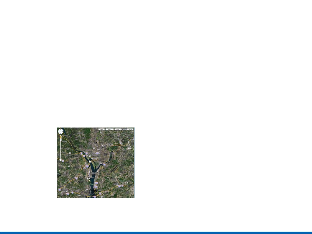
FPUS51 KLWX 090809 ZFPLWX ZONE FORECAST PRODUCT NATIONAL WEATHER SERVICE BALTIMORE MD/WASHINGTON DC 409 AM EDT WED SEP 9 2009 MDZ003-092300- WASHINGTON- INCLUDING THE CITIES OF...HAGERSTOWN 409 AM EDT WED SEP 9 2009.TODAY...MOSTLY CLOUDY WITH A 40 PERCENT CHANCE OF RAIN. HIGHS IN THE MID 70S. NORTHEAST WINDS 5 TO 10 MPH..TONIGHT...CLOUDY WITH A 50 PERCENT CHANCE OF RAIN. LOWS IN THE UPPER 50S. NORTHEAST WINDS 5 TO 10 MPH..THURSDAY...MOSTLY CLOUDY. A CHANCE OF SHOWERS IN THE MORNING...THEN RAIN LIKELY IN THE AFTERNOON. HIGHS IN THE LOWER 70S. NORTH WINDS 10 TO 15 MPH. CHANCE OF RAIN 60 PERCENT. $$ - Data Layers NWS Warnings Population Density Schools 22 Sept24 Sept25 Sept23 Sept Tornado Warning Population Density Schools Spatial – Zoom In/Out Temporal – Zoom In/Out - Analysis / Products +Generate Products +Tools (e.g. how many affected?. How many school children affected?)... Output Windows
... Output Windows.")
7
Breakout One – Wish Lists Forecasters –Integrated Hazard Creation Tool with Recommender –Legacy and new products –Improved and standardized relationships with Partners –Seamless backup Partners –More interaction with forecasters and social scientists –Input into service design –Customized and consistent products –Impact-based information

8
Breakout Two – Process Interaction between all stakeholders –Before, during, and after event –Live interaction to get questions answered –Service Backup to support this interaction as well as products –Considerations at different temporal scales – 4-6 days prior, 2-3 days prior, day before, day of...

9
Breakout Three – Database Contents –“Threat in motion” -- Hazard information seamless in space and time –Probabilistic and Impact information –Hazard attributes – spotter reports, calls to action –GIS, situational awareness information Access –Both “push” and “pull” customized products –Input and output by all stakeholders Framework approach

10
Next Step Plans Implementation Plan Partner Collaboration Plan Social Science Collaboration Plan Refined Requirements submission to PPBES

11
FPUS51 KLWX 090809 ZFPLWX ZONE FORECAST PRODUCT NATIONAL WEATHER SERVICE BALTIMORE MD/WASHINGTON DC 409 AM EDT WED SEP 9 2009 MDZ003-092300- WASHINGTON- INCLUDING THE CITIES OF...HAGERSTOWN 409 AM EDT WED SEP 9 2009.TODAY...MOSTLY CLOUDY WITH A 40 PERCENT CHANCE OF RAIN. HIGHS IN THE MID 70S. NORTHEAST WINDS 5 TO 10 MPH..TONIGHT...CLOUDY WITH A 50 PERCENT CHANCE OF RAIN. LOWS IN THE UPPER 50S. NORTHEAST WINDS 5 TO 10 MPH..THURSDAY...MOSTLY CLOUDY. A CHANCE OF SHOWERS IN THE MORNING...THEN RAIN LIKELY IN THE AFTERNOON. HIGHS IN THE LOWER 70S. NORTH WINDS 10 TO 15 MPH. CHANCE OF RAIN 60 PERCENT. $$ - Data Layers NWS Warnings Population Density Schools 22 Sept24 Sept25 Sept23 Sept Tornado Warning Population Density Schools Spatial – Zoom In/Out Temporal – Zoom In/Out - Analysis / Products +Generate Products +Tools (e.g. how many affected?. How many school children affected?)... Output Windows
... Output Windows.")
12
Build-your-own View Unifying WarnGen, GHG, RiverPro does NOT mean crowding everything onto one display at the same time Instead – we envision the user (forecaster or partner) building customized Views from the same tool box –With the ability to display multiple Views at the same time –And Save and Recall named Views
 building customized Views from the same tool box –With the ability to display multiple Views at the same time –And Save and Recall named Views")
13
Ability to Extend and Customize Extendable Framework –Complex rules implemented in a scripting language (e.g. Like Smart Tools and/or iTools) Examples: –Customized products for decision makers –Specialized Dialogs for hazard attributes –Point and Areal Flood Warning need to be disseminated in pairs
 Examples: –Customized products for decision makers –Specialized Dialogs for hazard attributes –Point and Areal Flood Warning need to be disseminated in pairs.")
14
Data Repositories (IRIS, GIS, etc.) Hazard Information Services Temporal – Zoom In/Out Display Interface Services Hazard Information Services Strawman Implementation Approach
 Hazard Information Services Temporal – Zoom In/Out Display Interface Services Hazard Information Services Strawman Implementation Approach")
15
Hazard Information Services are built to fulfill the requirements for forecaster tools and partner needs. They will be built as an extendable framework with services to: –Allow forecasters to enter and modify short-term, long- term, and hydrological hazard information with a common look and feel through CAVE –Integrate data from various repositories such as IRIS, GIS, AWIPS II forecaster grids and other hazard information –View hazard information as a “thin-client” web application available to partners –Generate text and graphical products in standard and customized formats Hazard Information Services Strawman Implementation Approach

16
IRIS (Hazard info, spotter reports, Calls to Action) EDEX GIS Data Repositories..... Spatial – Zoom In/Out Temporal – Zoom In/Out CAVE Forecaster Tools AWIPS II Hazard Information Services Strawman Implementation Approach Hazard Information Services

17
GIS Data Repositories..... Spatial – Zoom In/Out Temporal – Zoom In/Out Web Application for Partners Hazard Information Services Strawman Implementation Approach Hazard Information Services Exported AWIPS II data IRIS (Hazard info, spotter reports, Calls to Action)
.")
18
There will be a Display Interface so that logical operations can flow to and from Cave OR a Web Application. Possible roles: –GSD to work on the Hazard Information Services Framework –IRIS team to gather diverse hazard information and provide external services such as iNWS –ALL development organizations (GSD, NSSL, OHD, IRIS team, NCEP, NHC, MDL, etc.) to build services using framework –Forecaster Tools (GSD) –Tornado swaths (NSSL) –ADVISOR (MDL) –Legacy products –Customized products and services Iterative, incremental development with rapid feedback from Beta sites NSSL Hazardous Weather Tested (HWT) to be used as a testbed Hazard Information Services Strawman Implementation Approach
 to build services using framework –Forecaster Tools (GSD) –Tornado swaths (NSSL) –ADVISOR (MDL) –Legacy products –Customized products and services Iterative, incremental development with rapid feedback from Beta sites NSSL Hazardous Weather Tested (HWT) to be used as a testbed Hazard Information Services Strawman Implementation Approach.")
19
Plan for Partner Interaction Listserver Sub-committee on national Hazard Services Team

20
Plan for Social Science Collaboration

21
Refined Requirements

22
Summary

23
END

Similar presentations


 Darone Jones - Project Lead.>")


: A Proposed Next-Generation Hazardous Watch/Warning Paradigm Lans P. Rothfusz Acting Deputy Director.>")


 February 25–27, 2015 National Weather Center>")


 Paul Flatt Warning Coordination Meteorologist WFO Boise, Idaho 8/16/20151.>")


, Mike Daniels (NCAR), Sara Graves (UAH), Branko Kerkez (Michigan), Frank Vernon (USCD) Integrating Real-time Data into the EarthCube.>")

 by Roger Pressman and David Lowe, copyright.>")

