Download presentation
Presentation is loading. Please wait.

1
Data Sources for GIS in Water Resources by David R. Maidment, David G. Tarboton and Ayse Irmak GIS in Water Resources Fall 2011

2
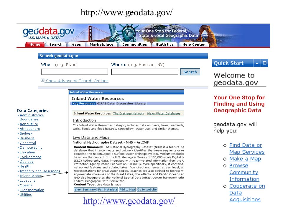
http://www.geodata.gov/
3
USGS GIS data for Water http://water.usgs.gov/maps.html

4
Watersheds of the US 2-digit water resource regions 8-digit HUC watersheds

5
Hydrologic Unit Code Watersheds ~ 2000 for US, about the size of counties

6
Watershed Hierarchy 8 HUC 4 2 6 NHDPlus 10 12 Available In Progress Digit #

7
Watershed Boundary Dataset National Program by USGS and USDA (NRCS) Boundaries for 10- and 12- digit watersheds First cut is by automated delineation from NED Hand checked and edited 10-digit watersheds
 Boundaries for 10- and 12- digit watersheds First cut is by automated delineation from NED Hand checked and edited 10-digit watersheds")
8
Watershed Boundary DataSet http://www.ncgc.nrcs.usda.gov/products/datasets/watershed/

9
WBD for Nebraska 2990 HUC12 watersheds of average area 39.3 square miles HUC12:HUC ~ 40:1 watersheds

10
EPA River Reach File 1 (RF1)
")
11
State and Local Data Decisions Watershed Management. TMDL. Source Water Protection. StormwaterDecisions Watershed Management. TMDL. Source Water Protection. Stormwater DataCartographic Monitoring MonitoringLoadingsDataCartographic LoadingsModels HSPF - NPSM HSPF - NPSM QUAL2E QUAL2E TOXIROUTE TOXIROUTEPost-ProcessorsModels HSPF - NPSM HSPF - NPSM QUAL2E QUAL2E TOXIROUTE TOXIROUTEPost-ProcessorsToolsTargetAssessment Data Mining ReportingToolsTargetAssessment Reporting BASINS BASINS - Integrating GIS and Water Quality Modeling Target Assess DM

12
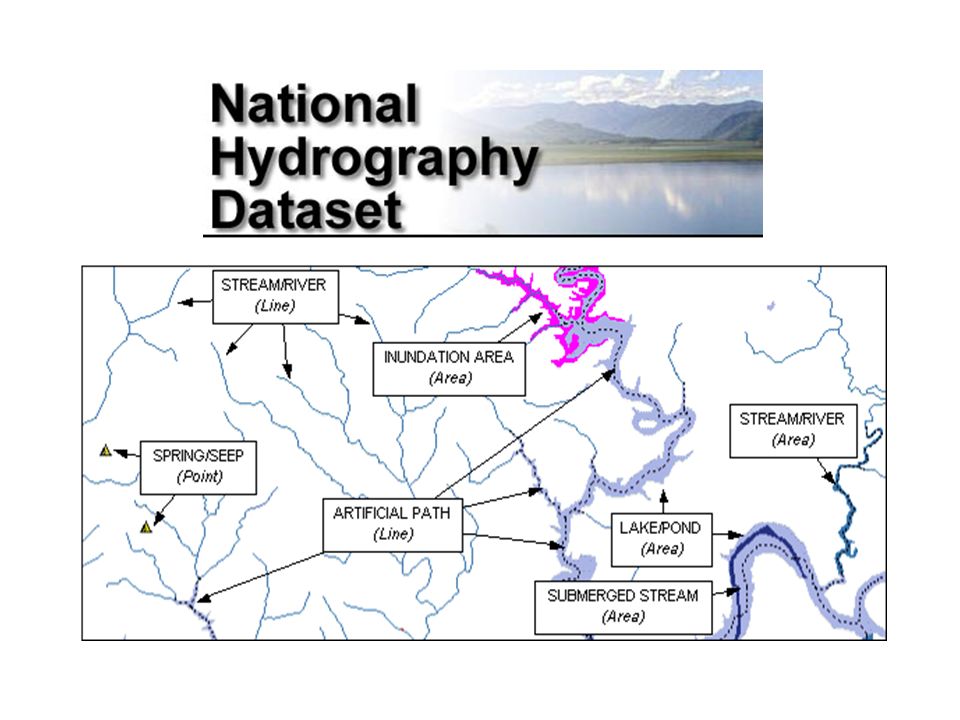
River networks for 8-digit HUC watersheds http://nhd.usgs.gov/

14
Lower West Fork, Trinity River Basin HUC = 12030102

15
NHD River Reaches 412 River Reaches In Upper West Fork of Trinity Basin

16
River Reach Codes Used for river address locations ReachCode = 12030102000151 ReachCode = 12030102000005 HUC# Segment# Location 0.392 on Reach 12030102000005

17
http://www.horizon-systems.com/nhdplus/

18
NHDPlus for a Portion of Oregon http://www.horizon-systems.com/nhdplus/

19
NHDPlus Reach Catchments ~ 3km 2 About 1000 reach catchments in each 8-digit HUC Average reach length = 2km 2.3 million reaches for continental US

20
NHDPlus Reach Attributes Slope Elevation Mean annual flow –Corresponding velocity Drainage area % of upstream drainage area in different land uses Stream order

21
National Elevation Dataset Digital Elevation Model with 1 arc- second (30m) cells Seamless in 1° blocks for the United States 10 billion data Derived from USGS 1:24,000 quadrangle sheets http://seamless.usgs.gov/Get the data: http://ned.usgs.gov/
 cells Seamless in 1° blocks for the United States 10 billion data Derived from USGS 1:24,000 quadrangle sheets the data:")
22
From http://seamless.usgs.govhttp://seamless.usgs.gov

23
From http://seamless.usgs.govhttp://seamless.usgs.gov

24
Digital Elevation Model (DEM) Contours 720 700 680 740 680700720740 720
 Contours")
25
Austin West 30 Meter DEM

26
32 16 8 64 4 128 1 2 Eight Direction Pour Point Model Water flows in the direction of steepest descent

27
Flow Direction Grid 32 16 8 64 4 128 1 2

28
Delineation of Streams and Watersheds on a DEM

29
http://srtm.usgs.gov/

30
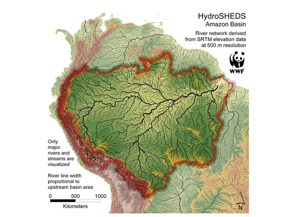
HydroSheds derived from SRTM http://hydrosheds.cr.usgs.gov/

32
GTOPO30 - 1 km Digital Elevation Model of the Earth http://eros.usgs.gov/#/Find_Data/Products_and_Data_Available/GTOPO30

33
Drainage in North America Hydro1K is derived from GTOPO30 using raster GIS analysis http://eros.usgs.gov/#/Find_Data/Products_and_Data_Available/gtopo30/hydro

34
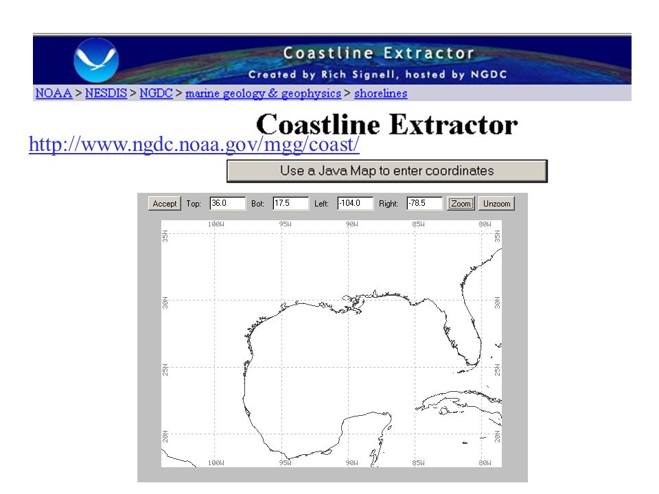
http://www.ngdc.noaa.gov/mgg/coast/
35
http://www.soils.usda.gov/survey/geography/statsgo/ 1:250,000 Scale Soil Information

37
http://www.soils.usda.gov/survey/geography/ssurgo/ 1:24,000 scale soil information SSURGO: County Level Digital Soil Maps

38
Ssurgo for Travis County 103 soil map units described by 7530 polygons of average area 35.37 ha (87 acres)
")
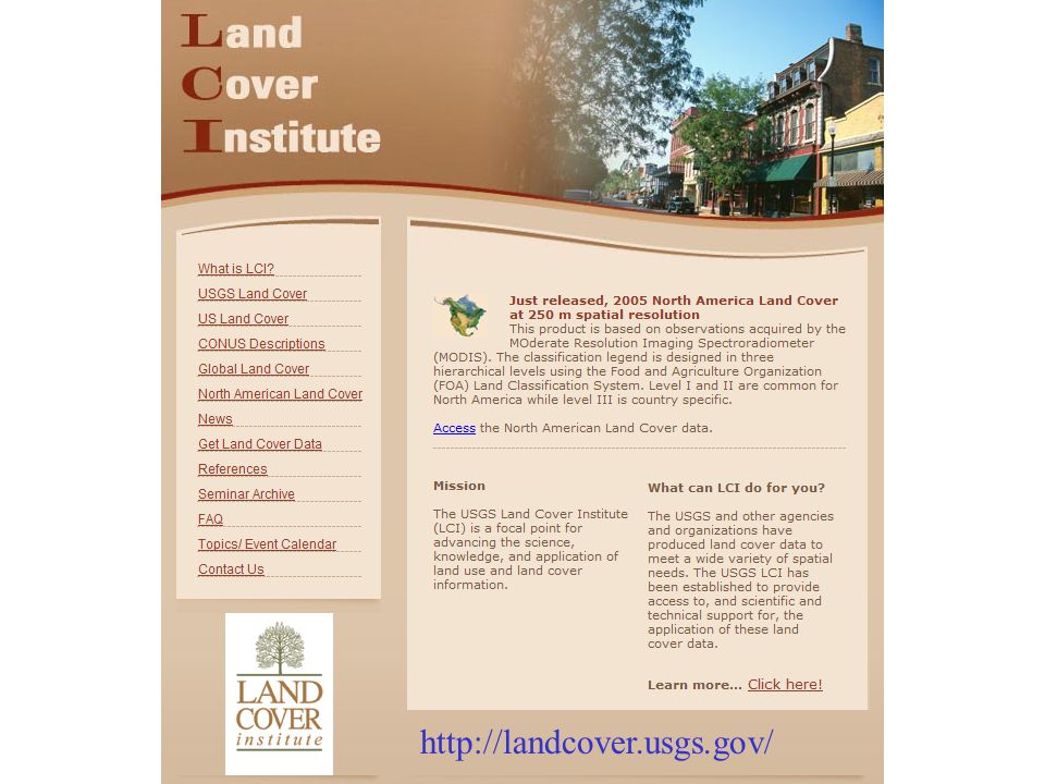
39
http://landcover.usgs.gov/
40
National Land Cover Dataset http://seamless.usgs.gov/Get the data:

42
http://www.nationalatlas.gov/atlasftp.html

43
http://www.ncdc.noaa.gov/oa/ncdc.html

44
PRISM Mean Annual Precipitation http://www.wcc.nrcs.usda.gov/climate/prism.html

45
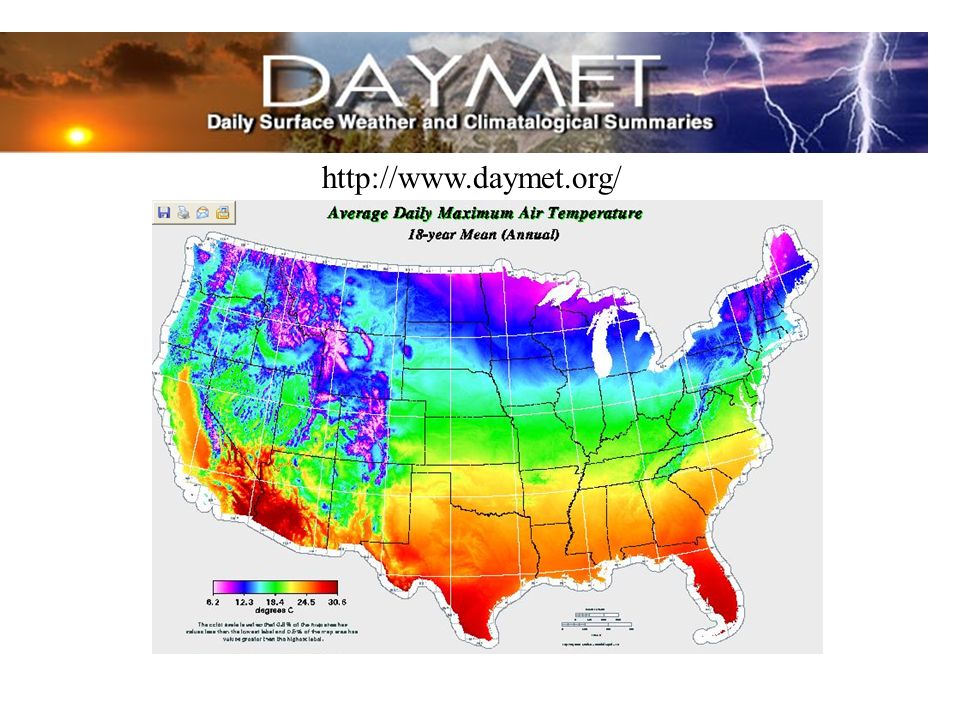
http://www.daymet.org/
46
National Water Information System Web access to USGS water resources data in real time http://waterdata.usgs.gov/usa/nwis/

47
USGS Water Watch Web access to USGS water resources data in real time http://waterdata.usgs.gov/nwis/rt

48
USGS National Water Information System. Real-time and Historic Data –Streamflow and stage –Groundwater levels –Water Quality –Site information Tabular or Graphical Format

49
NASA Satellite Data https://lpdaac.usgs.gov/

50
Global Energy and Water Experiment http://www.gewex.org/

51
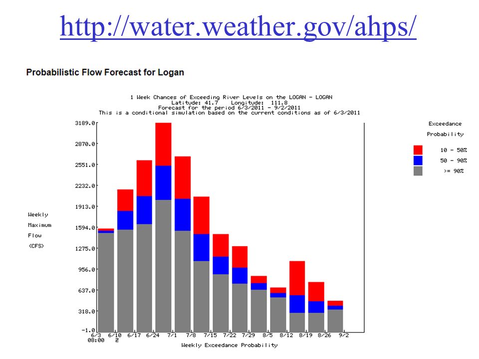
http://water.weather.gov/ahps/

53
http://www.wcc.nrcs.usda.gov/snotel/

54
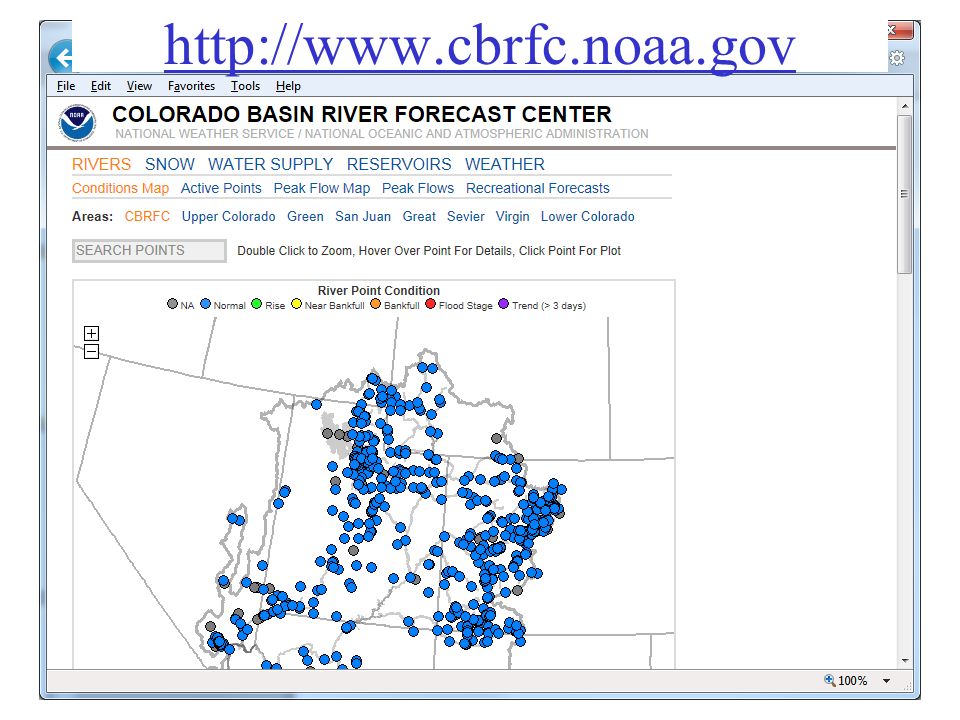
http://www.cbrfc.noaa.gov
55
CBRFC SNOTEL Ensemble http://www.cbrfc.noaa.gov/station/sweplot/sweplot.cgi?tglu1

56
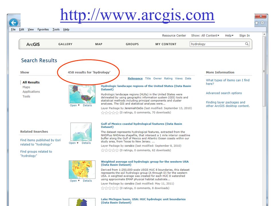
http://www.arcgis.com
58
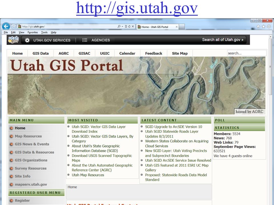
http://gis.utah.gov
59
Utah Terrain Basemap To use as a basemap in ArcGIS see instructions at http://gis.utah.gov/map-services/new-utah-terrain-base-map-and- cached-tile-service-available

60
Utah GIS Portal Download GIS Data http://gis.utah.gov/download

61
http://geology.utah.gov/maps/gis/index.htm

62
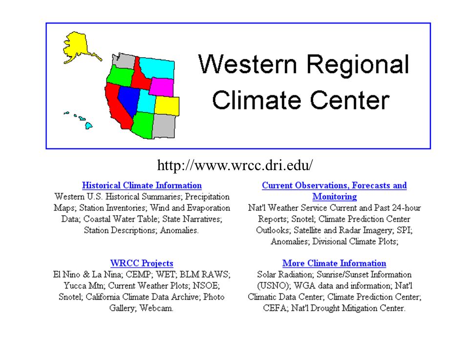
http://www.wrcc.dri.edu/
63
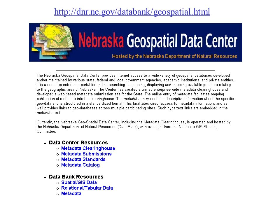
http://dnr.ne.gov/databank/geospatial.html
64
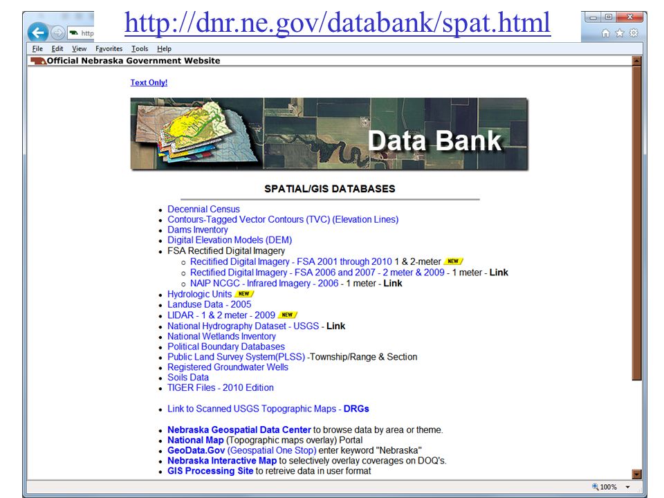
http://dnr.ne.gov/databank/spat.html
65
“National Map” in Nebraska http://nmviewogc.cr.usgs.gov/viewer.htm?bbox=-104.5,39.5,-95,43.5

66
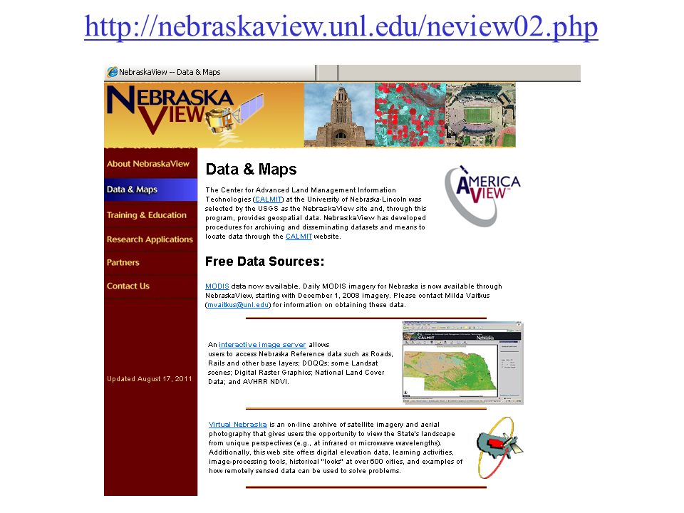
http://nebraskaview.unl.edu/neview02.php
67
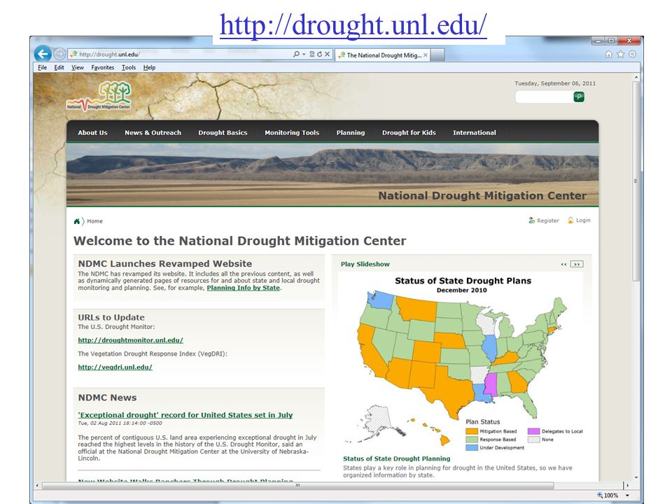
http://drought.unl.edu/
Similar presentations


 fusion into DEM raster (burning in) - Sink removal - Flow direction - Flow.>")


. The Coquille River is the major.>")


