Download presentation
Presentation is loading. Please wait.

1
The Story of Floodplain Remapping in Springfield, Missouri

2
Todd Wagner, P.E., CFM, CSM Principal Stormwater Engineer twagner@springfieldmo.gov & Errin Kemper, P.E., CFM, CSM Professional Engineer ekemper@springfieldmo.gov Stormwater Engineering Division Dept of Public Works City of Springfield, Missouri www.Springfieldmo.gov/stormwater

5
There are currently 1068 structures located in the 100yr floodplain. As of 2008, the NFIP has 200+ active flood insurance policies in Springfield.

12
1968 – National Flood Insurance Program established nationwide 1978 – FEMA issues first Flood Insurance Rate maps for Greene County 1989 – City of Springfield enters NFIP (using 1978 maps) 1995 – US Army Corps of Engineers (under FEMA direction) produces updated flood maps for Springfield.
 1995 – US Army Corps of Engineers (under FEMA direction) produces updated flood maps for Springfield.")
15
1999 – Met with FEMA. City receives permission from FEMA to hire a consultant and resubmit flood study 2001 – City submits revised mapping July 2000– 6-8” in 6hr. Reported damages in excess of $2M. At least 124 homes damaged.

16
New nationwide mapping contractor(s) The City’s review gets delayed City & County become a Cooperating Technical Partner (CTP) In 2005, in an effort to complete the Greene County maps, FEMA notifies the City that it must submit new mapping or the previous 1996 study will have to be made effective
 The City’s review gets delayed City & County become a Cooperating Technical Partner (CTP) In 2005, in an effort to complete the Greene County maps, FEMA notifies the City that it must submit new mapping or the previous 1996 study will have to be made effective")
18
City works to convert previous submittal to new mapping standards. All flood hazard information converted to GIS format Redelineated several additional streams Worked with FEMA mapping contractor to address review comments

21
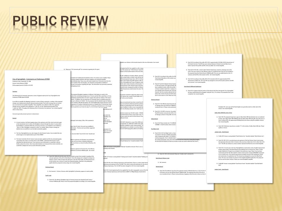
Press Conference 5 mass mailings to all affected properties 3 press releases

22
City identified over 800 Residential Structures impacted by the new mapping Two consulting firms were hired to collect all information needed to complete an elevation certificate and LOMA. Cost: $115 per home Data was used to prioritize stormwater management decisions

24
FEMA’s model ordinance with two exceptions: 2-foot freeboard Existing floodplain storage areas will be “grandfathered”

Similar presentations


 February 2008 Allyson Lichtenfels FEMA.>")
 Eligibility Extension A National Flood Insurance Program Self-Study Learning Module for Community Officials.>")


 A community shall notify the applicant in writing over the.>")
 May.>")


![Risk MAP and Discovery FEMA Region [#], [WATERSHED NAME] Watershed Discovery Meetings [DATE]](/15/4589573/big_thumb.jpg "Risk MAP and Discovery FEMA Region [#], [WATERSHED NAME] Watershed Discovery Meetings [DATE]>")
![Resilience Meeting: [Watershed Name] [LOCATION] [DATE]](/15/4628415/big_thumb.jpg "Resilience Meeting: [Watershed Name] [LOCATION] [DATE]>")
![Flood Risk Mapping Project Identifying the Risk Editorial Board Meeting [COMMUNITY NAME] Flood Risk Mapping Project.](/15/4647012/big_thumb.jpg "Flood Risk Mapping Project Identifying the Risk Editorial Board Meeting [COMMUNITY NAME] Flood Risk Mapping Project.>")


 Association of State Floodplain Managers (ASFPM)>")

