Download presentation
Presentation is loading. Please wait.

1
Michael Batty m.batty@ucl.ac.uk Centre for Advanced Spatial Analysis University College London http://www.casa.ucl.ac.uk/ PSI in Australia: with reference to spatial data in Victoria Advisory Panel on Crown Copyright: First Annual Seminar The Economics of Public Sector Information

2
The Topics in Order Australian Government: Commonwealth & States General Principles: Access and Data Sharing, Costs and Added Value,VARs, Spatial Data: Particular Characteristics Online Purchasing of Map and Attribute Data An Example: Land Victoria

3
Australian Government: Commonwealth & States 19 million people, 8 States including ACT, (4.8m people in Victoria) Bottom-up data assembly Policy formulated and implemented at State level, reinforced at federal level
 Bottom-up data assembly Policy formulated and implemented at State level, reinforced at federal level")
4
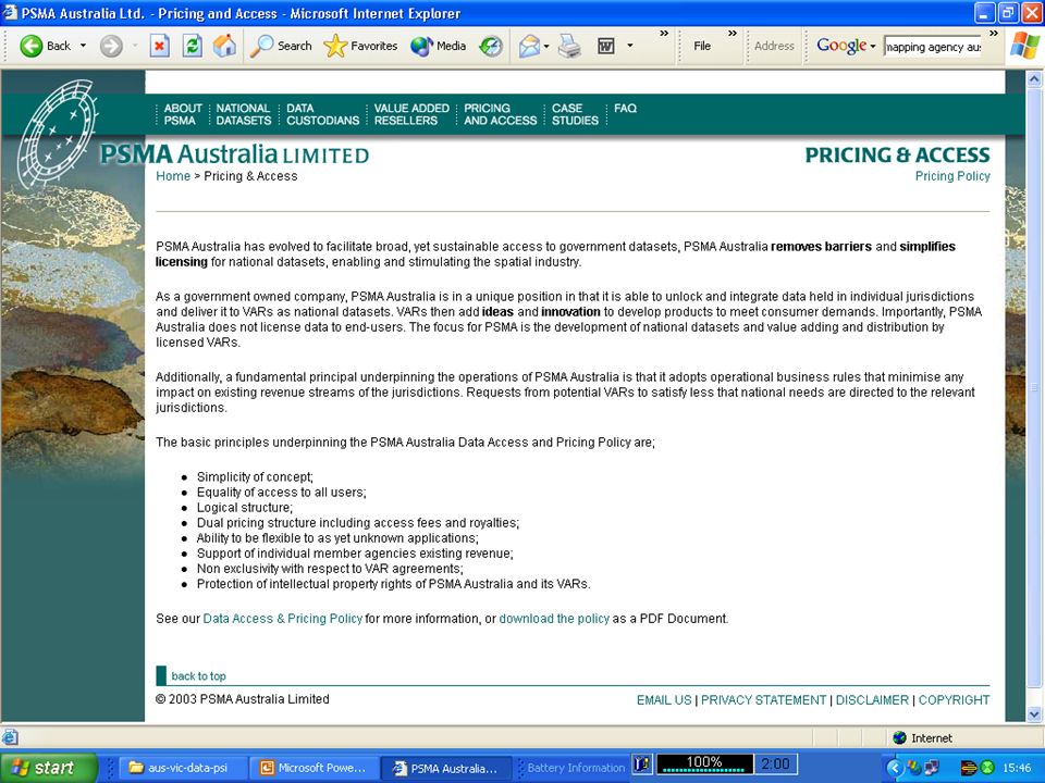
General Principles: Access and Data Sharing, Costs and Added Value,VARs, General policy of full cost recovery with many exceptions Full cost recovery often means maintenance cost Marginal pricing is tricky and much misunderstood Encouragement of access to data markets through online services Ease of finding data costs and ease of online purchase Domination of the States in providing data from the bottom up Lesser numbers of national agencies developing raw data than in UK due to dominance of States

5
Development of added-value to data in the market place Widespread policy of sharing data in government agencies and also with the public, particularly in rural areas Documentation and strong metadata standards Emphasis on (spatial) data infrastructure – i.e. data plus networks plus costing plus access Strong emphasis on making data available to the public for certain basic data sets Issues of data protection different from UK. Limits on what can be held or archived Good custodianship standards

6
Spatial Data: Particular Characteristics Spatial data is extensive where the basic unit is geographical Data types: 1. socio-economic individuals aggregated to postcodes and so on, bottom up, 2. Geometric data like the cadastre from bottom up but increasingly suing remote sensing from top down 3. Natural resources data from top down and bottom up but often samples like soils and even terrain Wide usage for marketing, geo-demographics, for mapping and so on, with considerable value added potential

7
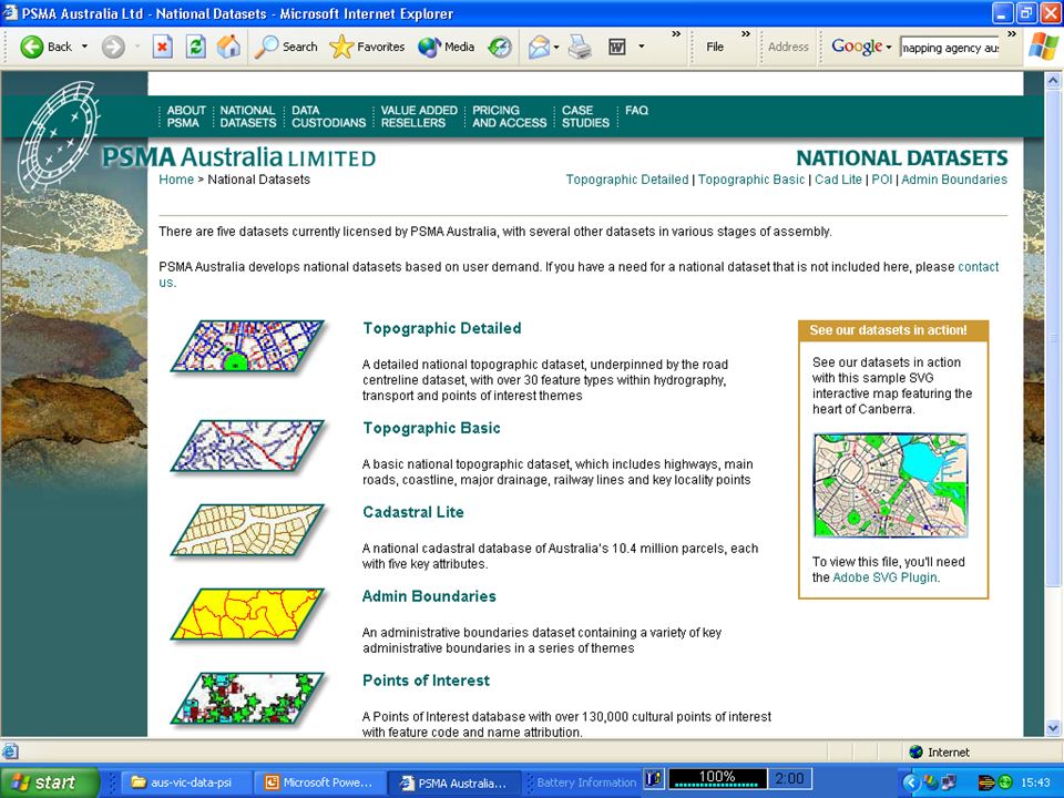
Online Purchasing of Map and Attribute Data Spatial data – basic framework data sets made available by PMSA – Public Sector Mapping Agency but from States Online systems for info and for purchasing Basic framework data sets – e.g. PMSA

11
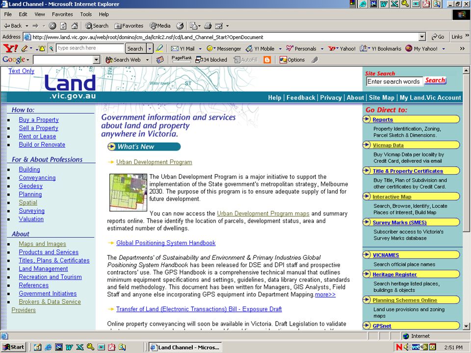
An Example: Land Victoria The State Agency for supplying two types of data: basic framework data sets, and cadastral property Land Information Group – basic framework Valuer-General – cadastral data – detailed 2.5m parcels data with rich attribute set relates to bi-annual revaluation of properties and parcels and Special projects – GEIN – Geospatial Emergency Information Management – Basic Framework + cadastre + GPS data + utilities Problems of integrated data due to private and public sources mixed- e.g. utilities semi-privatized etc

14
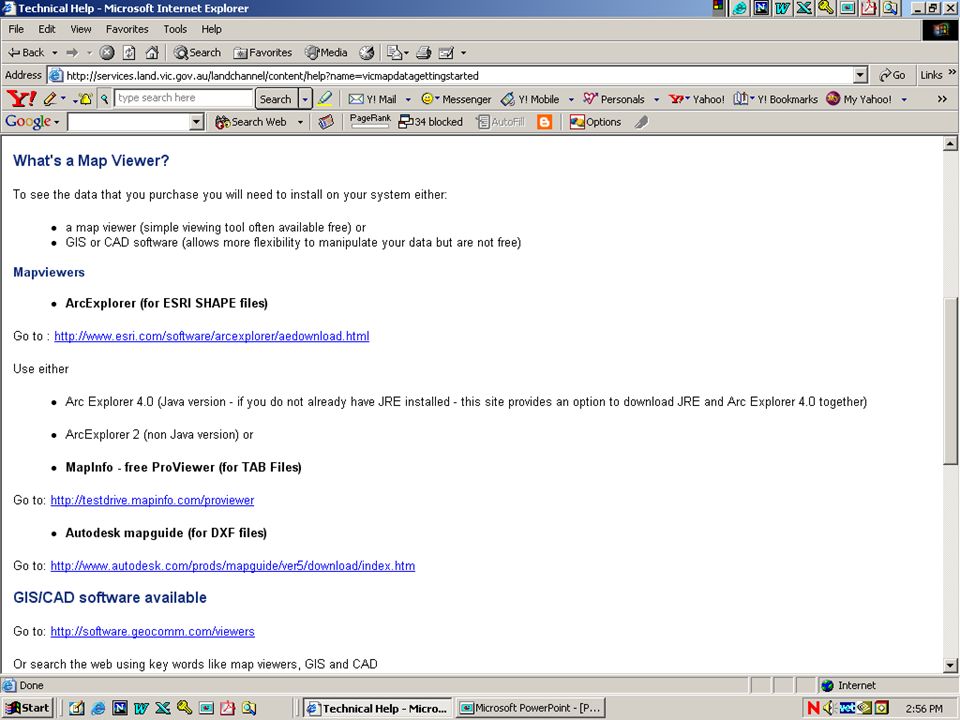
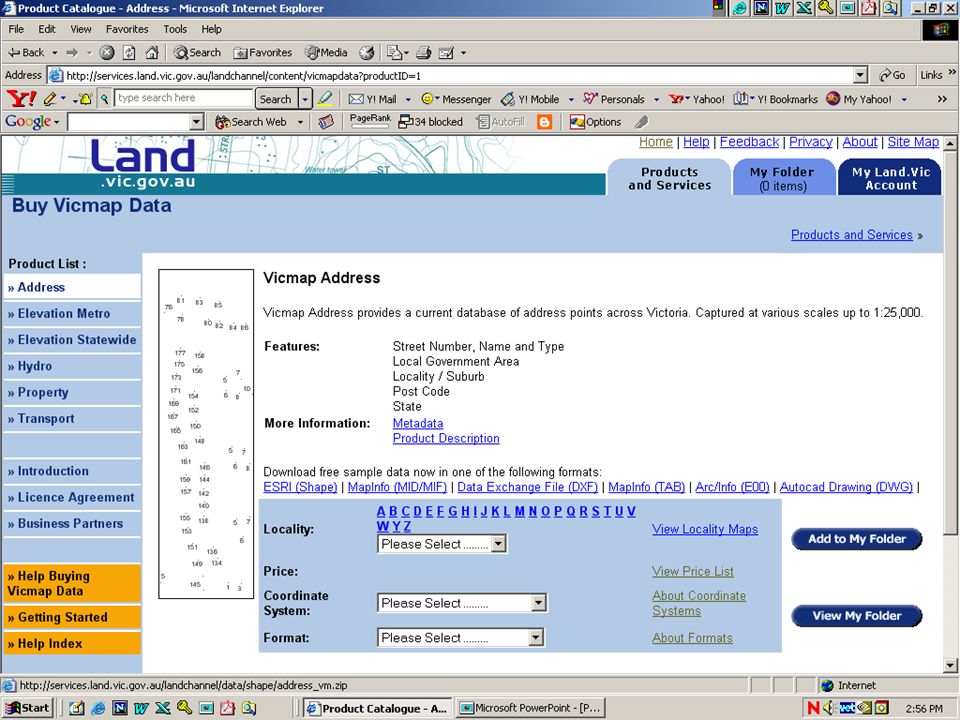
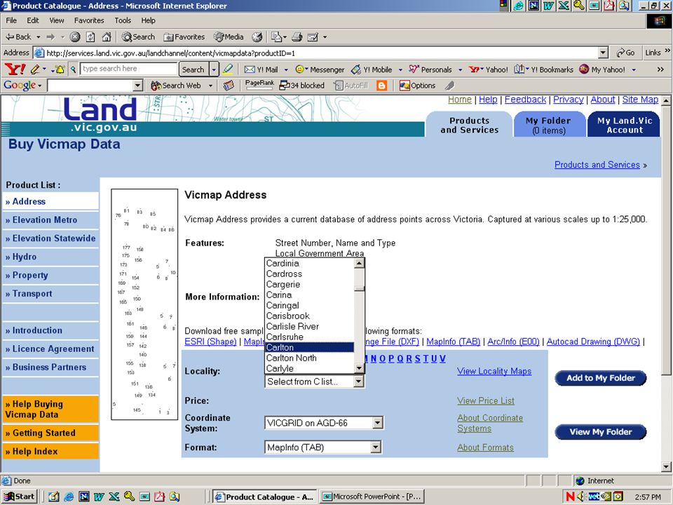
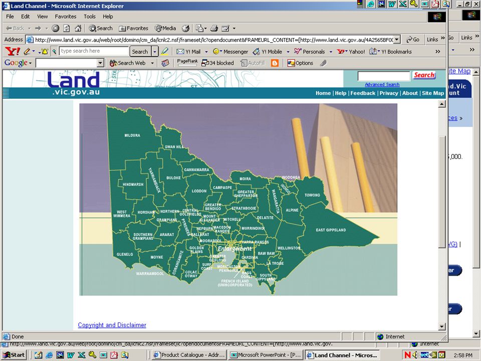
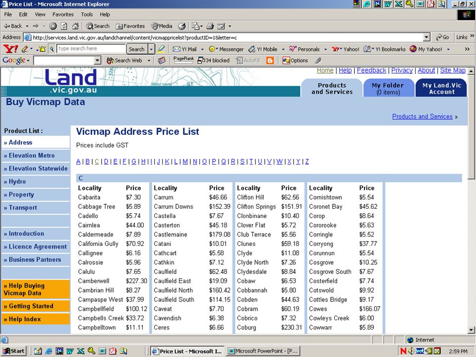
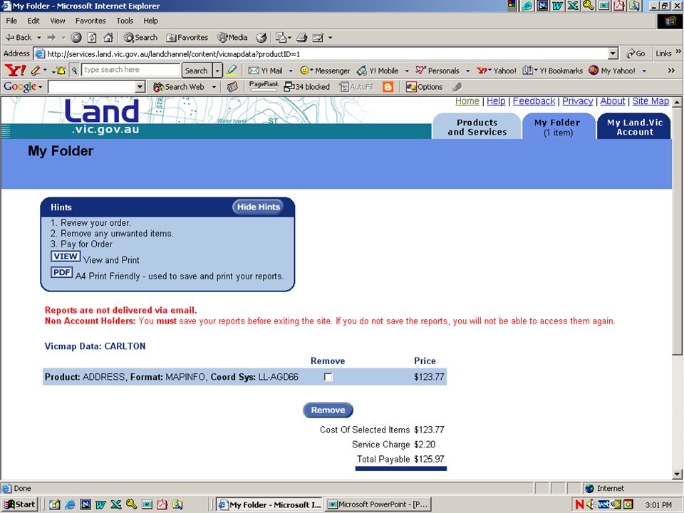
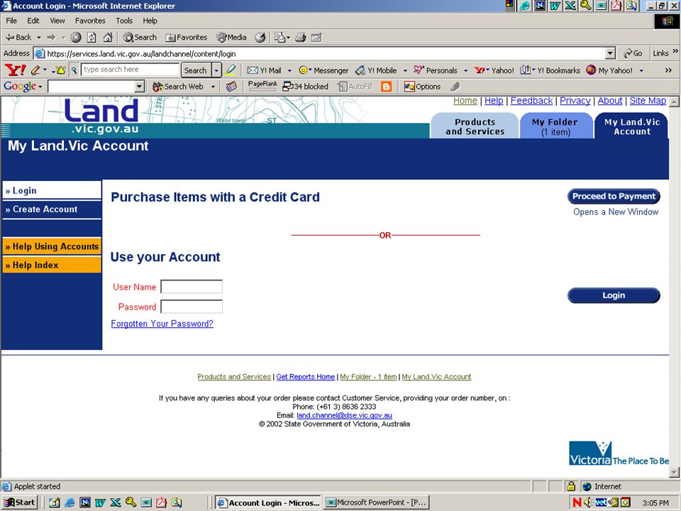
Buying data – VicMap – basic data sets Not just data – some means for unlocking it – this means at very least spreadsheet – probably a GIS for digital map data or at least paint/photo package Ease of knowing how much data costs Use of standard shopping basket approach Payment using credit card Special facilities and alerts for handling large than average files which spatial data tends to be

24
Conclusions Confusion over pricing and over market for added value services Not so good experience with privatization in Victoria Good standards of integrity and metadata, open access and good interfaces Problems of consistency in data sets within the state Good SDI but moves to widen SDI to DI generally

Similar presentations


>")
>")
, Ben Evans and Olaf Delgado-Friedrichs (ANUSF) EDDI.>")


>")


