Download presentation
Presentation is loading. Please wait.

1
A collaborative partnership between the State of Kansas Department of Revenue – Property Valuation Division (KDOR/PVD), the Kansas GIS Policy Board’s Data Access & Support Center (DASC), and Kansas County Clerks Kansas Statewide Tax Unit GIS Database
, the Kansas GIS Policy Board’s Data Access & Support Center (DASC), and Kansas County Clerks Kansas Statewide Tax Unit GIS Database")
2
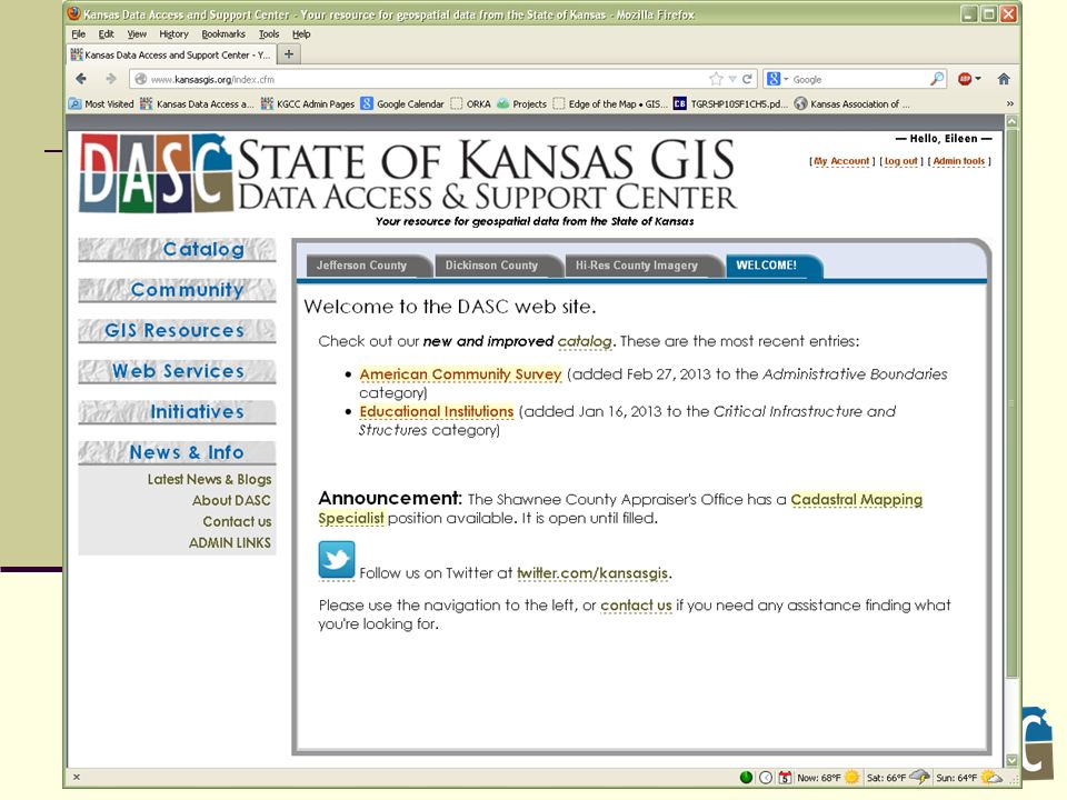
Data Access & Support Center DASC Established by the Kansas GIS Policy Board in 1991 Central repository of GIS databases of statewide/regional importance Designated as an National Spatial Data Infrastructure (NSDI) clearinghouse node in 1997 Located at the Kansas Geological Survey at the University of Kansas Web site – http://www.kansasgis.org
 clearinghouse node in 1997 Located at the Kansas Geological Survey at the University of Kansas Web site –")
3
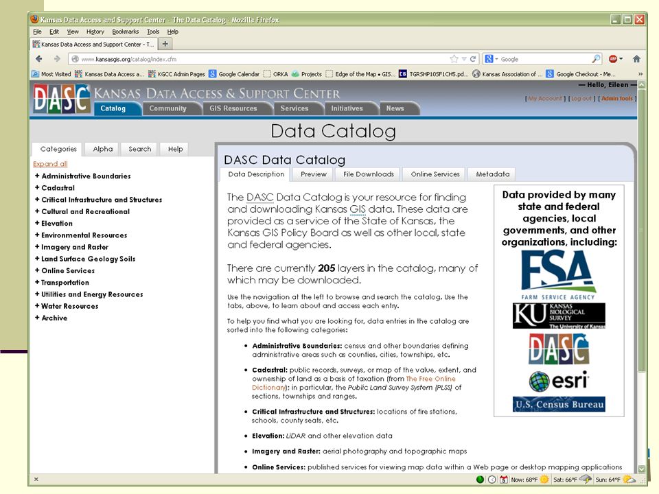
Database archival and distribution Database quality assurance/quality control (QA/QC) Database development & integration State & Local Government Coordination Cartographic development Promotion of the Kansas GIS Initiative Development and maintenance of the DASC web site – www.kansasgis.orgwww.kansasgis.org Statewide GIS Initiatives Tax Units Broadband Local government GIS backup ORKA (Open Records for Kansas Appraisers) DASC Services www.kansasgis.org
 Database development & integration State & Local Government Coordination Cartographic development Promotion of the Kansas GIS Initiative Development and maintenance of the DASC web site – Statewide GIS Initiatives Tax Units Broadband Local government GIS backup ORKA (Open Records for Kansas Appraisers) DASC Services")
4
2009 – now Data Standardized = eliminated data errors, standardize attribute information Certification with DASC now part of process Annual Clerks training Clerks still submit database summary of tax units to KDOR/PVD Tax Unit database Statewide GIS Tax Unit file released annually and as needed throughout Certification cycle Kansas Statewide Tax Unit GIS Database

5
Editing details Track Certification status and synchronize with KDOR Process GIS data edits – various formats from paper maps to GIS data, county edge matching Contact individual counties with change questions Track and report data deliveries KDOR follows up with Clerks to ensure Certifications meet deadline Kansas Statewide Tax Unit GIS Database

6
Data Gap & Overlap Errors Many errors along county boundaries

7
Kansas Statewide Tax Unit GIS Database Editing example: BMP image from a county

8
Kansas Statewide Tax Unit GIS Database Editing example: Paper map edits from a county

9
Kansas Statewide Tax Unit GIS Database Editing example: GIS file submission

10
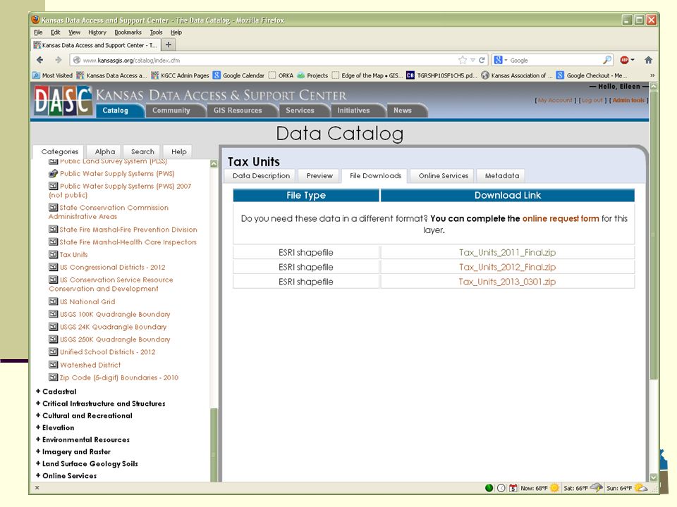
Kansas Statewide Tax Unit GIS Database Updates integrated into Clerk’s annual tax unit Certification process Eliminate need for Clerks to submit paper maps to KDOR/PVD KDOR/PVD Clerk Certification document contains a link to DASC website with on-line map viewer Clerks certify with DASC via on-line map viewer February 2013 - statewide GIS data file was made available to the public on the DASC website

11
Kansas Statewide Tax Unit GIS Database DASC Certification

12
Kansas Statewide Tax Unit GIS Database DASC Certification

13
Kansas Statewide Tax Unit GIS Database DASC Certification

14
Kansas Statewide Tax Unit GIS Database DASC Certification

15
Kansas Statewide Tax Unit GIS Database DASC Certification

16
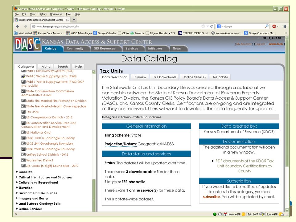
Kansas Statewide Tax Unit GIS Database Data – Available for download on DASC website http://www.kansasgis.org Maintenance – as needed Attributes information included: Tax Unit FIPS State+County State ID County Name Certification Date Report2013 – Changes/No changes

17
Kansas Statewide Tax Unit GIS Database

23
http://www.ksrevenue.org/pvdtaxunit.html

24
Kansas Statewide Tax Unit GIS Database

25
Contact Information Eileen Battles Data Access & Support Center (DASC) 785-864-2289battles@kgs.ku.edu
")
Similar presentations


>")

 The Systematic Review Data Repository (SRDR™) was developed by the Tufts Evidence-based Practice Center (EPC),>")
 Price & Services Agreements (PSA) DAS SPO Representative Lena Ferris DAS EISPD Representatives.>")
 NCSU Libraries Steve Morris Head of Digital.>")


