Download presentation
Presentation is loading. Please wait.

2
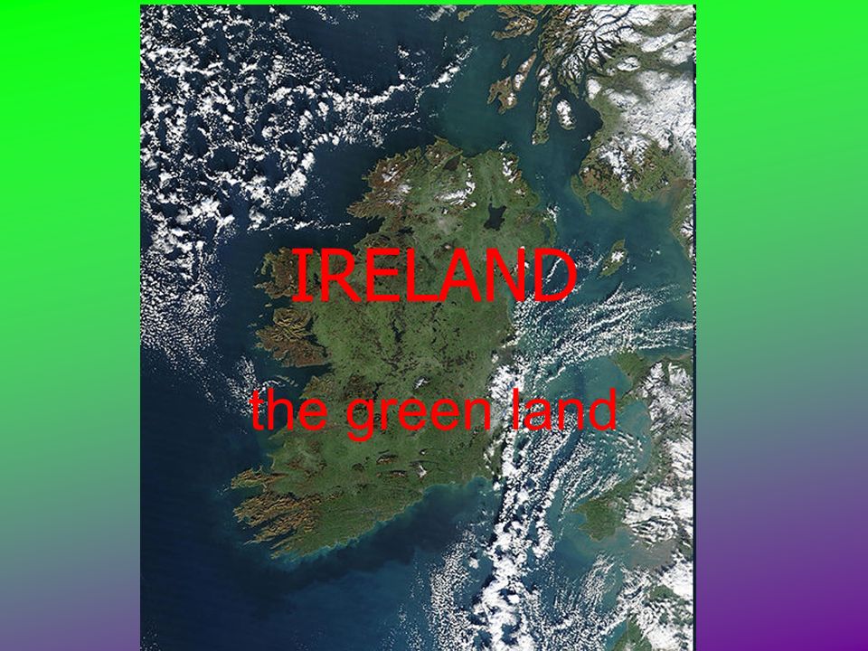
IRELAND the green land

3
geography Ireland is an island in northwest Europe in the north Atlantic Ocean.Atlantic Ocean It consists of low central plains surrounded by a ring of coastal mountains. It has a total area of 84,421 km 2.

4
the land The highest peak is 1,041 metres above sea level. The western coastline is rugged, with many islands, peninsulas, and bays. Ireland is separated from Great Britain by the Irish Sea and from Europe by the Celtic Sea.Irish Sea Celtic Sea Ireland and Great Britain, together with nearby islands, are known collectively as the British Isles.British Isles

5
rivers and lakes The island is crossed by the River Shannon, which is the longest river in Ireland. There are a number of sizeable lakes along Ireland's rivers.River Shannon

6
islands Achill Island, in the northwest, is the largest island off Ireland's coast. The island is inhabited, and is connected to the mainland by a bridge. Some of the next largest islands are the Aran Islands, to the west, host to an Irish-speaking community.Aran Islands

7
climate Ireland's climate is temperate, due to the warming influence of the North Atlantic drift. The prevailing wind blows from the southwest, breaking on the high mountains of the west coast. Rainfall is therefore a particularly prominent part of western Irish life. The west coast gets almost twice as much annual rainfall as Dublin on the easttemperateNorth Atlantic drift January and February are the coldest months of the year.

8
natural resources Bogs Ireland has 12,000 km² of bogland. It formed when depressions created by the end of the ice age filled with water to form lakes. Debris from reeds in these lakes formed a layer at the bottom of the water.

9
oil, natural gas and minerals Offshore exploration for natural gas began in 1970. Gas from these fields is used for both domestic and industrial purposes. natural gas Oil is another recent discovery. Ireland is the largest European producer of zinc. zinc

10
agriculture Agriculture Agriculture and food is an important industry in Ireland, with about 64% of the total land area used for agriculture.

11
industry Ireland is a great exporter of pharmaceutics and high software-related products. The Irish economy has transformed since the 1980s from being predominantly agricultural to a modern economy focused on high technology industries and services.

12
political and human geography Politically, the island consists of the state of the Republic of Ireland, with jurisdiction over about five sixths of the island; and Northern Ireland, a country of the United Kingdom. Ireland Northern Ireland United Kingdom

13
language Irish is the "national language" in the Republic of Ireland, according to the Constitution. English is the dominant language in the island.

14
politics Ireland is a constitutional republic with a parliamentary system of government and is a member state of the European Union.constitutional republicEuropean Union The President (today Mary MCAleese) serves as head of state, and is elected for a seven-year term and may be re-elected once.head of state
 serves as head of state, and is elected for a seven-year term and may be re-elected once.head of state")
Similar presentations