Download presentation
Presentation is loading. Please wait.

1
What is remote sensing? “the acquisition and measurement of data/information on some property(ies) of a phenomenon, object, or material by a recording device not in physical, intimate contact with the feature(s) under surveillance; techniques involve amassing knowledge pertinent to environments by measuring force fields, electromagnetic radiation, or acoustic energy employing cameras, radiometers and scanners, lasers, radio frequency receivers, radar systems, sonar, thermal devices, seismographs, magnetometers, gravimeters, scintillometers, and other instruments”. Source: NASA tutorial on remote sensing http://rst.gsfc.nasa.gov/Intro/nicktutor_I-1.html
 of a phenomenon, object, or material by a recording device not in physical, intimate contact with the feature(s) under surveillance; techniques involve amassing knowledge pertinent to environments by measuring force fields, electromagnetic radiation, or acoustic energy employing cameras, radiometers and scanners, lasers, radio frequency receivers, radar systems, sonar, thermal devices, seismographs, magnetometers, gravimeters, scintillometers, and other instruments . Source: NASA tutorial on remote sensing")
2
Shorter definition Remote sensing is the collection of information about an object or system without coming into direct physical contact with it

3
How are measurements made? Ground-based Airborne Satellite

4
Why do we do remote sensing? Unobtrusive Automated Useful for extreme conditions Offers excellent spatial and temporal coverage Provides real time or near-real time observations Often cost-effective Extends our senses

5
Remote Sensing Systems Active Sensor - illuminates the subject from an artificial energy source Passive Sensor - uses natural radiation from the Sun or Earth Imaging Sensor - creates a “picture” by scanning across a linear array of detectors while the array moves through space Non-imaging Sensor - measures along a transect or at a point; or uses a non-photonic approach

6
REMOTE SENSING DATA TYPES Visible, infrared, thermal, and microwave are most common

7
The Remote Sensing Cycle Sensor Data Processing Data Analysis Interpretation Information Assessment Development

8
Electromagnetic Radiation Its harmonic wave form can be described according to the Maxwell equations: Where, E is the electric field E o is a constant vector = angular frequency = c / = wavelength c = speed of light in a vacuum (300,000,000 ms -1 ) k = wavenumber ( x = distance along the x-axis t = time The value of E at any point depends only on x and t
 k = wavenumber ( x = distance along the x-axis t = time The value of E at any point depends only on x and t")
9
Electromagnetic Waves Described by: Wavelength Frequency Amplitude

10
Frequency vs. Wavelength = distance of separation between two successive wave peaks = number of wave peaks passing in a given time The product of wavelength and frequency is a constant: c= c = speed of light in a vacuum = 3.0 10 8 ms -1

11
Energy vs. Frequency When considering the particle form of energy, we call it a photon The energy of a photon, Q, is proportional to its frequency, : Q = h = c/ Q = hc h = Planck’s constant = 6.63 10 -34 Js c = speed of light = 3.0 10 8 ms -1 Thus, Q

12
Spatial Resolution “A measure of the smallest angular or linear separation between two objects that can be resolved by the sensor”. (Jensen, 2000) Resolving power is the ability to perceive two adjacent objects as being distinct –size –distance –shape –color –contrast with background –sensor characteristics
 Resolving power is the ability to perceive two adjacent objects as being distinct –size –distance –shape –color –contrast with background –sensor characteristics.")
13
Instantaneous field of view (IFOV) is the angular field of view of the sensor, independent of height IFOV is a relative measure because it is an angle, not a length It can be measured in radians or degrees sensor IFOV
 is the angular field of view of the sensor, independent of height IFOV is a relative measure because it is an angle, not a length It can be measured in radians or degrees sensor IFOV")
14
GIFOV Ground-projected instantaneous field of view (GIFOV) depends on satellite height (H) and the IFOV
 depends on satellite height (H) and the IFOV")
15
1 meter resolution250 meter resolution IKONOS image of Gunnison River Basin, CO 1 kilometer

16
Digital Number imaging optics detectors electronics at-sensor radiance DN The DN that is recorded is proportional to the radiance at the sensor

17
Digital Raster Imager Format

18
Radiometric Resolution Determined by the number of bits of within which the digital information is encoded 2 1 = 2 levels (0,1) 2 2 = 4 levels (0,1,2,3) 2 8 = 256 levels (0-255) 2 12 = 4096 levels (0-4095)
 2 2 = 4 levels (0,1,2,3) 2 8 = 256 levels (0-255) 2 12 = 4096 levels (0-4095)")
19
Surface components with very distinct spectral differences can be resolved using broad wavelength ranges

20
Temporal Resolution The frequency of data acquisition over an area Temporal resolution depends on: –the orbital parameters of the satellite –latitude of the target –swath width of the sensor –pointing ability of the sensor

21
Multi-temporal imagery is important for –infrequent observational opportunities (e.g., when clouds often obscure the surface) –short-lived phenomenon (floods, oil spills, etc.) –rapid-response (fires, hurricanes) –detecting changing properties of a feature to distinguish it from otherwise similar features
 –short-lived phenomenon (floods, oil spills, etc.) –rapid-response (fires, hurricanes) –detecting changing properties of a feature to distinguish it from otherwise similar features")
22
Atmospheric Effects EMR is attenuated by its passage through the atmosphere Attenuation = scattering + absorption –Scattering is the redirection of radiation by reflection and refraction –Attenuation is wavelength dependent

25
–scattering by molecules and particles whose diameters are << –primarily due to oxygen and nitrogen molecules –scattering intensity is proportional to -4 –responsible for blue sky Rayleigh Scattering

26
Mie Scattering –Spherical particles that have a mean diameter 0.1 to 10 times the incident wavelength –Examples for visible light: water vapor, smoke particles, fine dust –Scattering intensity is proportional to -4 to 0 (depending on particle diameter) Clear atmosphere has both Rayleigh and Mie scattering. Their combined influence is between -0.7 to

27
Non-selective Scattering –aerosol particles much larger than the wavelength (> 10x) –examples: water droplets, ice crystals, volcanic ash, smog –independent of wavelength: 0
 –examples: water droplets, ice crystals, volcanic ash, smog –independent of wavelength: 0")
29
Atmospheric Absorption Absorption is the process whereby radiant energy is absorbed by atmospheric constituent and converted to thermal energy Atmospheric absorbers are primarily: H 2 Owater vapor, water droplets CO 2 carbon dioxide O 2 oxygen O 3 ozone Dust and soot

30
Absorption Bands EM spectrum within which radiant energy is absorbed by substances such as water (H 2 O), carbon dioxide (CO 2 ), oxygen (O 2 ), ozone (O 3 ), and nitrous oxide (N 2 O), dust, soot, etc.An absorption band is a portion of the EM spectrum within which radiant energy is absorbed by substances such as water (H 2 O), carbon dioxide (CO 2 ), oxygen (O 2 ), ozone (O 3 ), and nitrous oxide (N 2 O), dust, soot, etc.
, carbon dioxide (CO 2 ), oxygen (O 2 ), ozone (O 3 ), and nitrous oxide (N 2 O), dust, soot, etc.An absorption band is a portion of the EM spectrum within which radiant energy is absorbed by substances such as water (H 2 O), carbon dioxide (CO 2 ), oxygen (O 2 ), ozone (O 3 ), and nitrous oxide (N 2 O), dust, soot, etc.")
32
spectral absorptance Spectral Reflectance

34
Microwave Brightness Temperature Microwave radiometers can measure the emitted spectral radiance received (L This is called the brightness temperature and is linearly related to the kinetic temperature of the surface The Rayleigh-Jeans approximation provides a simple linear relationship between measured spectral radiance temperature and emissivity

35
At long wavelengths, such as in the microwave region, the relationship between spectral emittance and wavelength can be approximated by a straight line.

36
Rayleigh-Jeans Approximation k is Planck’s constant, c is the speed of light, is emissivity, T is kinetic temperature This approximation only holds for >> max (e.g. > 2.57mm @300 K) spectral radiance is a linear function of kinetic temperature a constant
 spectral radiance is a linear function of kinetic temperature a constant.")
37
Brightness Temperature T is also called the “brightness temperature” typically shown as T B

38
Brightness temperature can be related to kinetic temperature through emissivity Thus, passive microwave brightness temperatures can be used to monitor temperature as well as properties related to emissivity

39
Microwave Radiometers Advanced Microwave Sounding Unit (AMSU) 1978- present Scanning Multichannel Microwave Radiometer (SMMR) 1981- 1987 Special Sensor Microwave/Imager (SSM/I) 1987- present Tropical Rainfall Measuring Mission (TRMM) 1997- present Advanced Microwave Scanning Radiometer (AMSR- E) 2002-present
 present Scanning Multichannel Microwave Radiometer (SMMR) Special Sensor Microwave/Imager (SSM/I) present Tropical Rainfall Measuring Mission (TRMM) present Advanced Microwave Scanning Radiometer (AMSR- E) 2002-present")
41
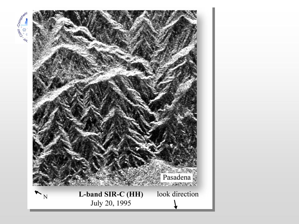
Radar=Radio Detection and Ranging Radar system components

42
Radar: How it Works A directed beam of microwave pulses are transmitted from an antenna The energy interacts with the terrain and is scattered The backscattered microwave energy is measured by the antenna Radar determines the direction and distance of the target from the instrument as well as the backscattering properties of the target

44
History of the Landsat series Currently, Landsat 5 and Landsat 7 (ETM+) are in orbit
 are in orbit")
Similar presentations


. Why TRMM? n Tropical Rainfall Measuring Mission (TRMM) is a joint US-Japan study initiated in 1997 to study.>")


 Spectrum.>")
