Download presentation
Presentation is loading. Please wait.

1
GIS projects 2012 Marc van Kreveld

2
Two phases Problem analysis (phase 1 report 1) –Literature study, reverse engineering –Statement of criteria –Dependency of criteria –Quantification of the criteria Algorithm design (phase 2 report 2) –Specification of input and output –Algorithmic problem statement –Algorithm development –Efficiency analysis
 –Literature study, reverse engineering –Statement of criteria –Dependency of criteria –Quantification of the criteria Algorithm design (phase 2 report 2) –Specification of input and output –Algorithmic problem statement –Algorithm development –Efficiency analysis")
3
Three meetings Prepare the meetings; think about it extensively first Take the notes and figures of the ideas you had until the meeting Meeting I: May 3 Meeting II: May 15 Presentations 1: May 22 Meeting III: June 5 Meeting IV (opt.): June 13/14 Presentations 2: June 21???
: June 13/14 Presentations 2: June 21")
4
Evaluation Based on meetings: initiative, progress, ideas Based on two hand-ins (May 25 and July 4) Based on two presentations
 Based on two presentations")
5
Topics 1.Flow maps 2.Label placement for islands 3.Time-space maps 4.Non-contiguous area cartograms 5.Zoning, or political redistricting 6.Touristy routes through national parks 7.Valleys and ridges in mountain areas 8.Finding mountains and peaks 9.Trajectory set visualization 10. Spatial interpolation in an environment

6
Topics 1.Flow maps 2.Label placement for islands 3.Time-space maps 4.Non-contiguous area cartograms 5.Zoning, or political redistricting 6.Touristy routes through nature 7.Valleys and ridges in mountain areas 8.Mountains and peaks 9.Trajectory set visualization 10.Spatial interpolation in an environment

7
Diagrams

8
1. Flow maps

10
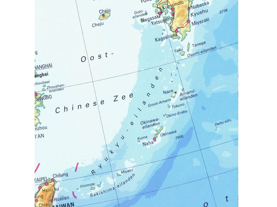
2. Label placement for islands

12
Traffic density maps

14
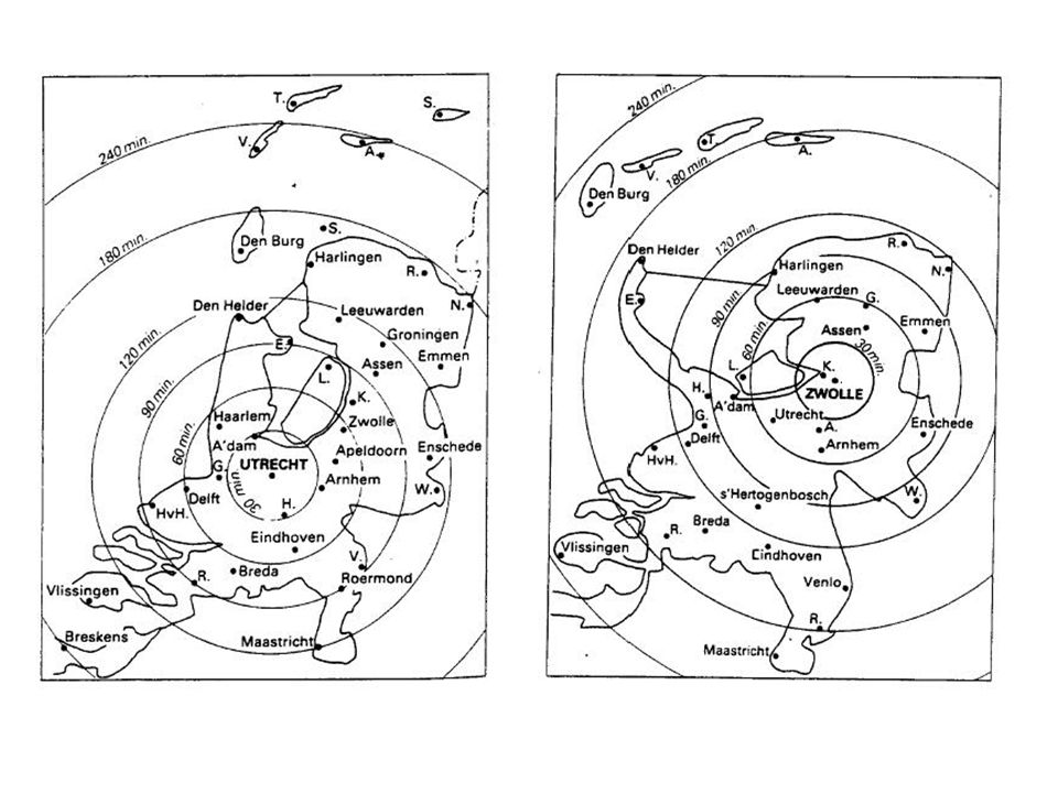
3. Time-space maps

17
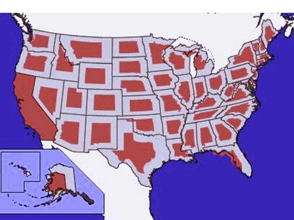
4. Non-contiguous area cartograms

19
5. Road selection on networks

20
6. City block generalization

21
5. Zoning, or political redistricting

23
5. Relative positions of regions Is Norway closer to Sweden than to Finland? Should Austria be called South of Germany, East of Germany, or both? Degree of closeness, south-ness?

24
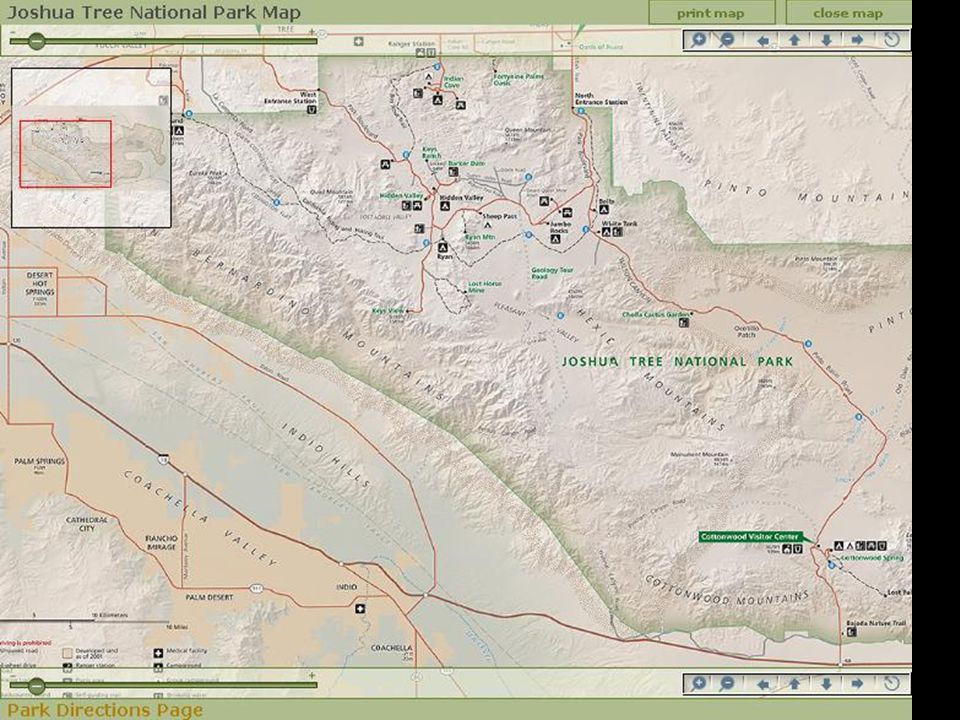
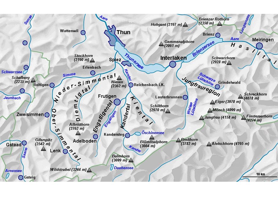
6. Touristical routes through nature Assume: new national park needs road across –Passes by small natural sights –Has good views of large natural sights –Connects two or three points on boundary of park reasonably

27
7. Valleys and ridges Linear features in mountain landscapes: ridges high and valleys low Some valleys are more prominent than others (same for ridges) Only prominent ones would be shown on small-scale maps How to define and compute prominence?
 Only prominent ones would be shown on small-scale maps How to define and compute prominence .")
30
8. Mountains and peaks From Wikipedia: A mountain is a large landform that stretches above the surrounding land in a limited area usually in the form of a peak. A mountain is generally steeper than a hill There is no universally accepted definition of a mountain. Elevation, volume, relief, steepness, spacing and continuity have been used as criteria for defining a mountain

32
9. Trajectory set visualization

33
10. Spatial interpolation in environments How do you define and compute spatial interpolation when it is influenced by land cover?

34
sound

35
Density of a plant

Similar presentations


 –Literature study, reverse engineering –Statement of criteria –Dependency.>")


