Download presentation
Presentation is loading. Please wait.

1
Cartography, Map Production and GeoVisualization Geog 176B Lecture 10: Longley Chapters 12,13

2
Visual Variables: Bertin QuantitativeQualitative

3
Map Types: Point Data Reference Topographic Dot Picture Symbol Graduated Symbol Multivariate symbol

4
Reference & Topo Map

5
Simple Dot Map http://www.cybergeography.org/atlas/

6
Picture Symbols/Icon Map http://tabi.joy.ne.jp/h-tokachigawa/icon/map.gif

7
Graduated Symbol Source: Dent

8
Multivariate Symbol: Chernoff Faces Source: Eugene Turner, Dan Dorling

9
Map Types: Line Data Network Flow Isopleth Reference

10
Network Maps http://www.360.net http://www.luxembourg.co.uk/pics/railnetw.jpg

11
Flow Map: Europe Internet Traffic www.cybergeography.org/atlas/census.html

12
Isoline (isobar)
")
13
Map Types: Area Data Choropleth Dasymetric Area qualitative Stepped surface Hypsometric Reference

14
Area Qualitative Map http://www.townofbrighton.org/

15
Stepped Surface

16
Hypsometric

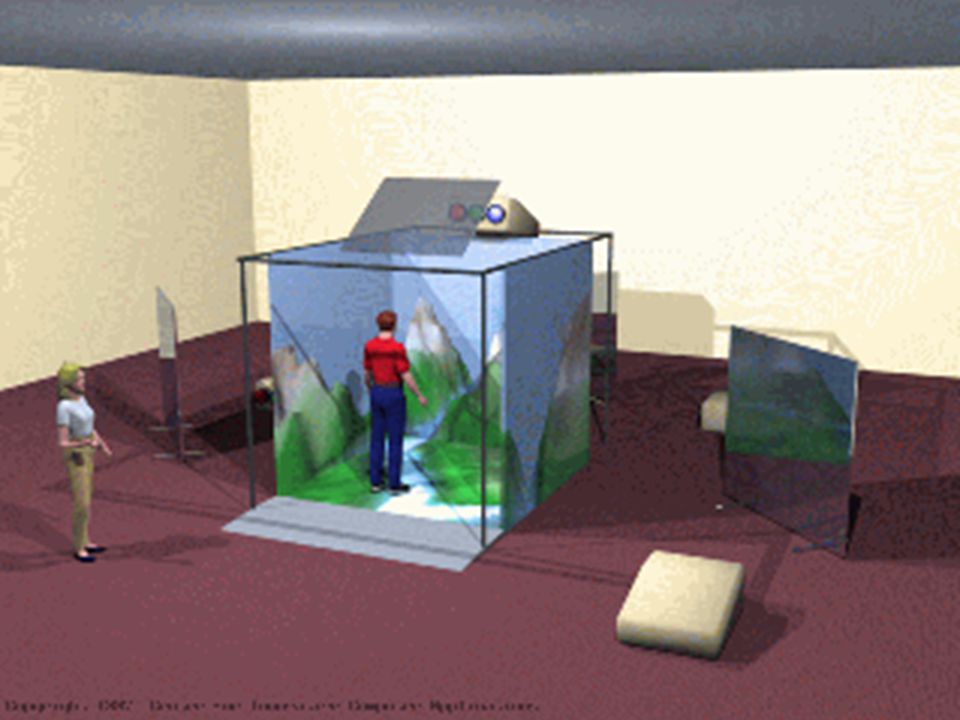
17
Choropleth Mapping

18
Fields and Regions

19
2D Web Cartography HTML embeds PNG, JPEG and GIF Animation possible with GIF Drawing extensions with SVG (XML) Otherwise, need JAVA or FLASH GIS data can be web enabled with on-line products such as Arc/IMS and GeoMedia Web Map, MapInfo Envinsa Map open source tools
 Otherwise, need JAVA or FLASH GIS data can be web enabled with on-line products such as Arc/IMS and GeoMedia Web Map, MapInfo Envinsa Map open source tools")
20
Map Types: Volume Data [Isopleth, Stepped Surface, Hypsometric] Gridded fishnet Realistic perspective Hill-shaded Image map
![Map Types: Volume Data [Isopleth, Stepped Surface, Hypsometric] Gridded fishnet Realistic perspective Hill-shaded Image map](http://images.slideplayer.com/16/5059663/slides/slide_20.jpg "Map Types: Volume Data [Isopleth, Stepped Surface, Hypsometric] Gridded fishnet Realistic perspective Hill-shaded Image map")
21
2.5D Methods

22
Hill shading

23
DOQ/Vector integration

24
Oakland: Integration of Hi-Res Imagery

25
2.75D Anaglyphic stereo

26
Map Types: Time Multiple views Animation –Moving map –Fly thru –Fly by

27
Animations

28
3D Web Cartography Unload interaction functions to web client Build and make visible 3D models VRML established as 3D web equivalent of HTML GeoVRML is geographically enabled VRML GML, X3D now available

29
(Geo)VRML Public domain Web tools (CosmoCreate and Player) Works for both immersive and passive displays Symbolization at feature level, any dimension object Integrated environment to develop, test and distribute cartographic methods Combine traditional cartographic portrayal techniques, animation, and 3-dimensional display Importance of nodes and georeferencing Worlds (GeoVRML 1.0) Incorporates visual field depth via proximity sensor and zoom
VRML Public domain Web tools (CosmoCreate and Player) Works for both immersive and passive displays Symbolization at feature level, any dimension object Integrated environment to develop, test and distribute cartographic methods Combine traditional cartographic portrayal techniques, animation, and 3-dimensional display Importance of nodes and georeferencing Worlds (GeoVRML 1.0) Incorporates visual field depth via proximity sensor and zoom")
30
CosmoWorlds VRML Authoring Package

31
VRML Object modeling

32
VRML: Worlds

33
World plus texture

34
Dibiase: Public/Private

35
EDA/Scientific Visualization www.ais.fraunhofer.de/NWEnglandAnalysis.gif

37
Professional map publishing

38
Avenza, ArcPress etc.

Similar presentations


 Information Representation Imagery Terrain Thematic Maps.>")


 GIS 200 Lo & Yeung, Ch 7.>")


