Download presentation
Presentation is loading. Please wait.

1
Earthquake Hazard Assessment in the Pacific Northwest: Site Response Thomas L. Pratt U. S. Geological Survey School of Oceanography University of Washington

3
Earthquakes are inevitable: How do we deal with their effects? Design buildings to an appropriate level of safety Prepare emergency services to respond Inform citizens how to prepare and respond

4
Need to know: How often are different types of earthquakes likely to occur? How strong will the shaking be? How will the shaking vary across the region? At what frequencies will the ground shake?

5
Estimating the ground shaking from earthquakes Probabilistic Hazard Maps Peak Ground Acceleration likely in a given time interval Example: 2% chance of 0.25g acceleration being exceeded in a 50-year time span

6
Plate motions GPS EQ monitoring (PNSN) Geophysics (SHIPS) Geology LIDAR Paleoseismology Earthquake Hazard Analysis Probabilistic Hazard Maps
 Geophysics (SHIPS) Geology LIDAR Paleoseismology Earthquake Hazard Analysis Probabilistic Hazard Maps")
7
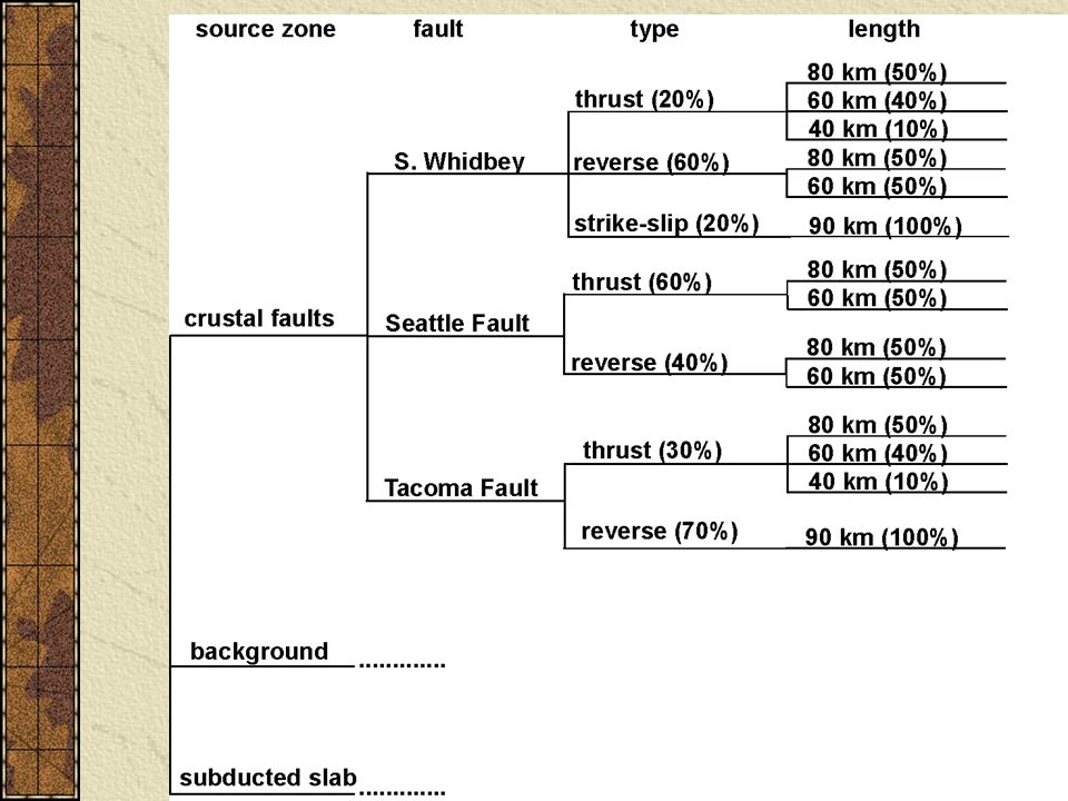
Washington State EQs

10
Probabilistic hazard map

11
Buildings and Resonant Frequency 35-story building ~ 3.5 sec = 0.3 Hz [e.g., Smith Tower] 1-story building (house) ~ 0.1 sec period = 10 Hz 10-story building ~1 sec period = 1 Hz [e.g., library] 75-story building ~ 5 sec = 0.13 Hz [e.g., Columbia Tower]
![Buildings and Resonant Frequency 35-story building ~ 3.5 sec = 0.3 Hz [e.g., Smith Tower] 1-story building (house) ~ 0.1 sec period = 10 Hz 10-story building ~1 sec period = 1 Hz [e.g., library] 75-story building ~ 5 sec = 0.13 Hz [e.g., Columbia Tower]](http://images.slideplayer.com/16/5005680/slides/slide_11.jpg "Buildings and Resonant Frequency 35-story building ~ 3.5 sec = 0.3 Hz [e.g., Smith Tower] 1-story building (house) ~ 0.1 sec period = 10 Hz 10-story building ~1 sec period = 1 Hz [e.g., library] 75-story building ~ 5 sec = 0.13 Hz [e.g., Columbia Tower]")
12
Probabilistic Hazard Maps Site Response Estimates Ground Motion Modeling Building Design

13
Spectral ratios (to eliminate source signature) Simple Spectral Ratio – site/bedrock site H/V ratio (horizontal/vertical recording)Horizontal site Horizontal bedrockVertical site Simple Spectral Ratio – site/bedrock site H/V ratio (horizontal/vertical recording)
 Simple Spectral Ratio – site/bedrock site H/V ratio (horizontal/vertical recording)Horizontal site Horizontal bedrockVertical site Simple Spectral Ratio – site/bedrock site H/V ratio (horizontal/vertical recording)")
14
site response curve

15
resonance, impedance changes A=I r /I s = r v r / s v s F r =1/4T

16
Resonance models

17
Focusing

18
Focusing in Seattle Basin

19
Surface Waves movie

20
Puget Lowland

21
1999 “Dry” SHIPS

22
Geophysical data

23
Chi-Chi earthquake

24
Local earthquake, M2.8

25
Low freqs: large over Seattle Basin High freqs: Small over Seattle Basin

26
Seattle SHIPS 2002

27
Seattle SHIPS (site response) 90 seismometers (3-component) recording continuously from Jan 27 to May 24, 2002 Identical instrumentation with 2 Hz sensors Local: magnitude 2.0 to 2.1 or greater visible across array (~every 3 days?) Teleseisms: magnitude 7.0 to 7.3 or greater visible across array (~15-20/year)
 90 seismometers (3-component) recording continuously from Jan 27 to May 24, 2002 Identical instrumentation with 2 Hz sensors Local: magnitude 2.0 to 2.1 or greater visible across array (~every 3 days ) Teleseisms: magnitude 7.0 to 7.3 or greater visible across array (~15-20/year)")
28
Seattle SHIPS 2002

29
Vertical N-S E-W

33
Chi-Chi earthquake (surface waves = long durations)
")
34
Kingdome SHIPS Kingdome demolition Movie

35
Nisqually Earthquake Effects of surface waves Relatively modest ground motions Maximum PGA of 0.27g Non-linear soil response Amplifications much smaller for strong ground motions (mainshock versus aftershock)
")
37
nisqually amp variation with time

38
Nisqually amp vs after amp

39
Results from SHIPS/Nisqually Seattle Basin characterized by amplifications of 8 to 12 at low frequencies (0.3 to 0.8 Hz (3.33 sec to 1.25 sec periods) At higher frequencies (5 to 10 Hz) the basin causes decreased shaking Amplification is time variant (direct arrivals versus surface waves?) Amplifications of 5 could come from resonance in the shallow deposits (<500 m) Amplifications from focusing likely <2 Surface waves within the basin cause amplifications of as much as 16 Non-linear effects come into play at moderate ground accelerations
 At higher frequencies (5 to 10 Hz) the basin causes decreased shaking Amplification is time variant (direct arrivals versus surface waves ) Amplifications of 5 could come from resonance in the shallow deposits (<500 m) Amplifications from focusing likely <2 Surface waves within the basin cause amplifications of as much as 16 Non-linear effects come into play at moderate ground accelerations")
40
END

Similar presentations


 777-6166>")


 terminology Understand the.>")


