Download presentation
Presentation is loading. Please wait.

1
SYNOPTIC CLIMATOLOGY-CH. 7

2
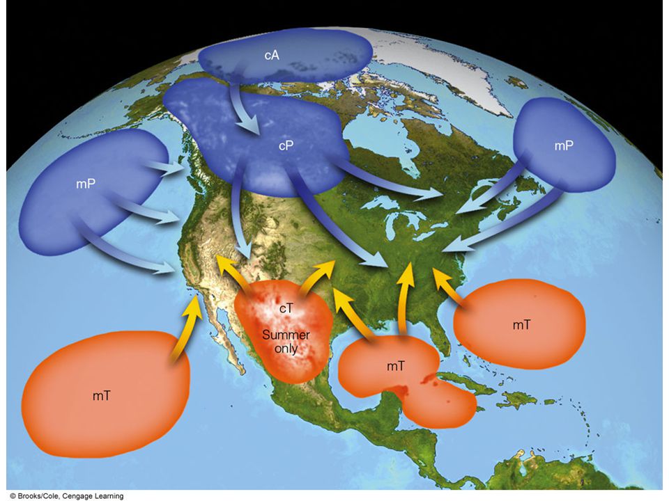
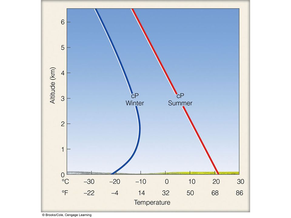
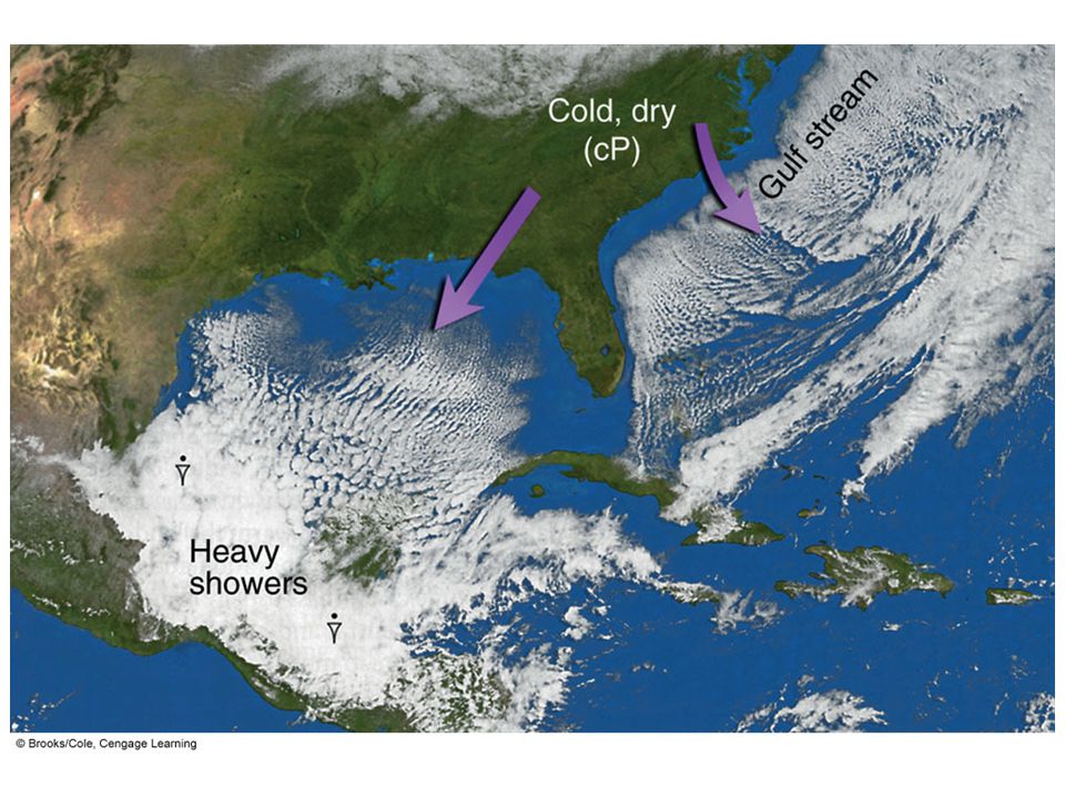
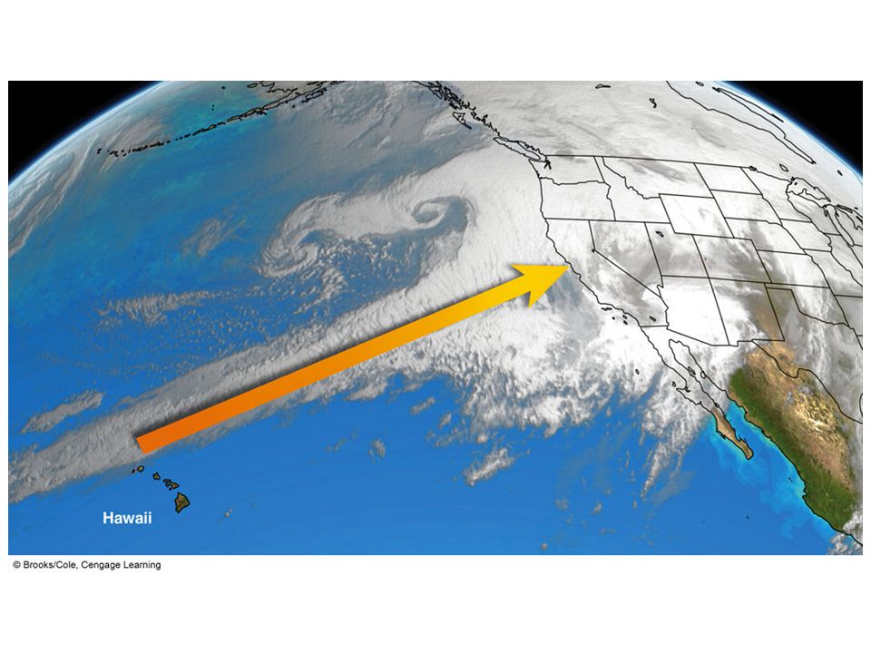
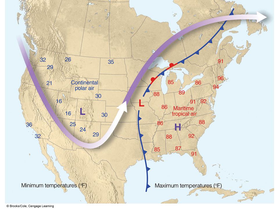
AIR MASSES

9
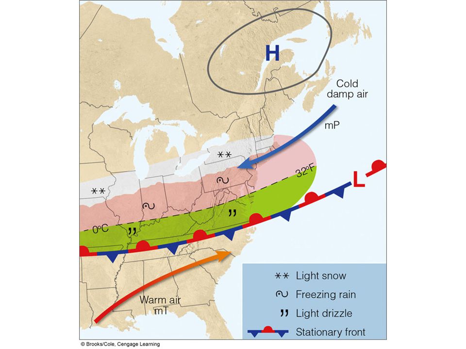
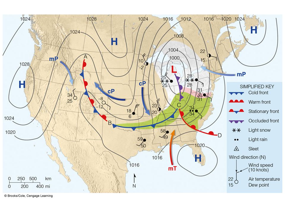
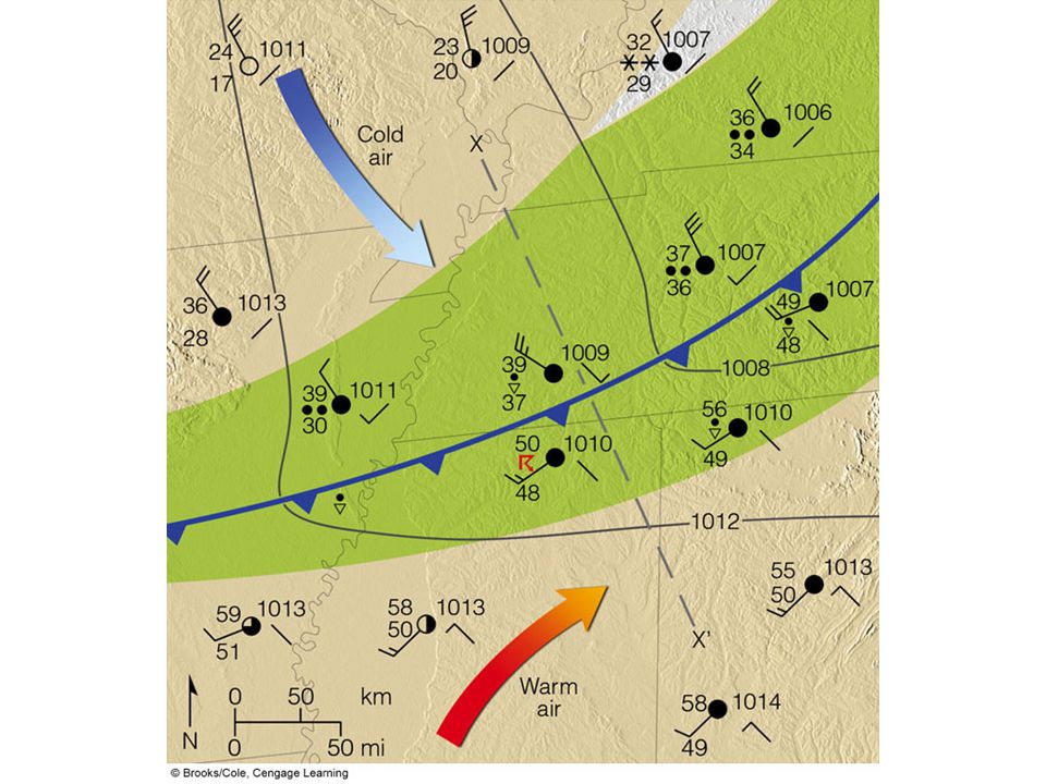
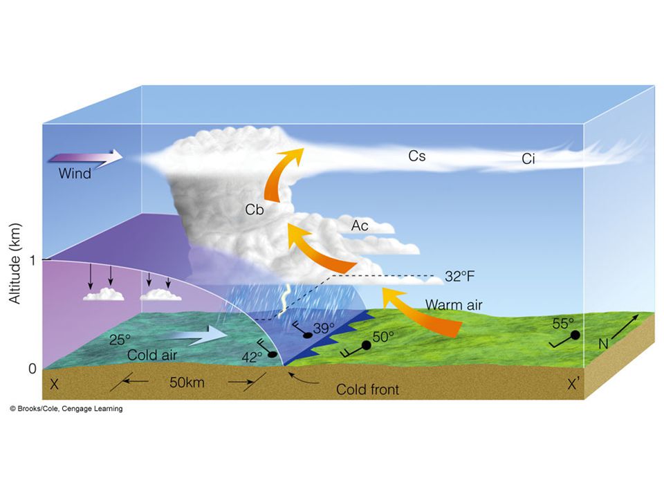
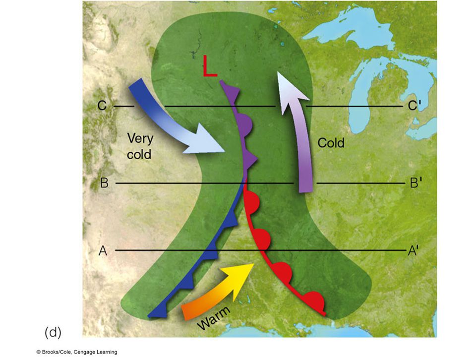
Fronts Transition zone between two air masses of different densities Identification on Charts 1.Sharp temperature change 2.Sharp change in dew point 3.Shift in wind direction 4.Sharp pressure change 5.Clouds and precipitation Frontolysis and frontogenesis

11
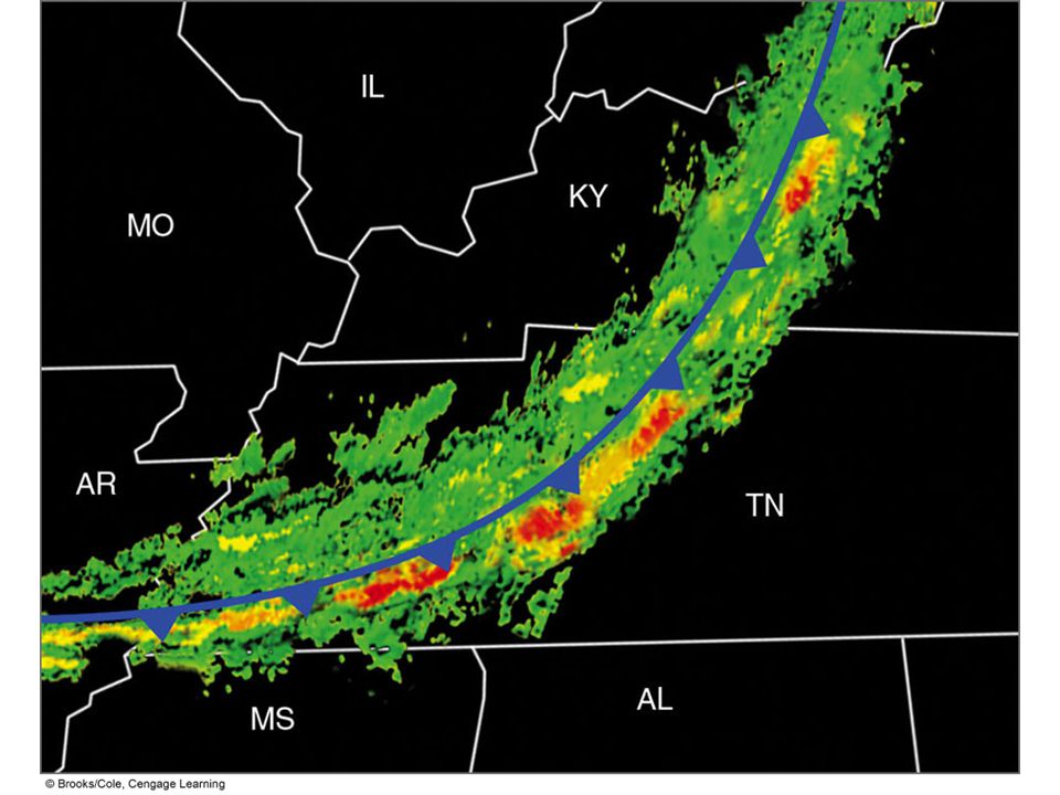
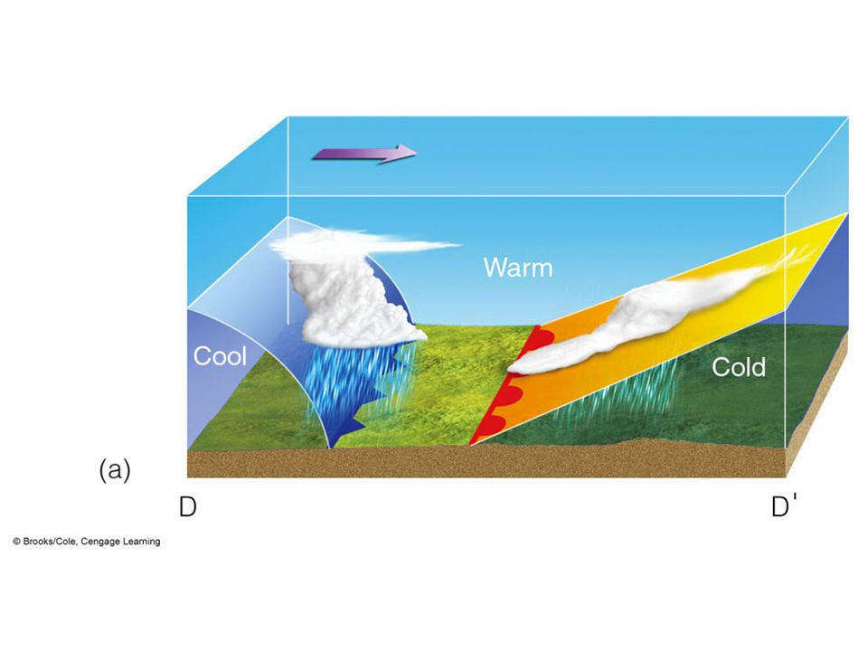
Fronts Cold –Cold, dry stable air replaces warm, moist unstable air –Blue line with blue triangles –Clouds of vertical development –Thunderstorms, squall lines

15
Fronts Warm –Warm, moist unstable air overrides cold, dry stable air –Red line with red semi-circles –Horizontal cloud development with steady rain Topic: Dry Line –Not a cold or warm front but a narrow boundary of steep change in dew point

23
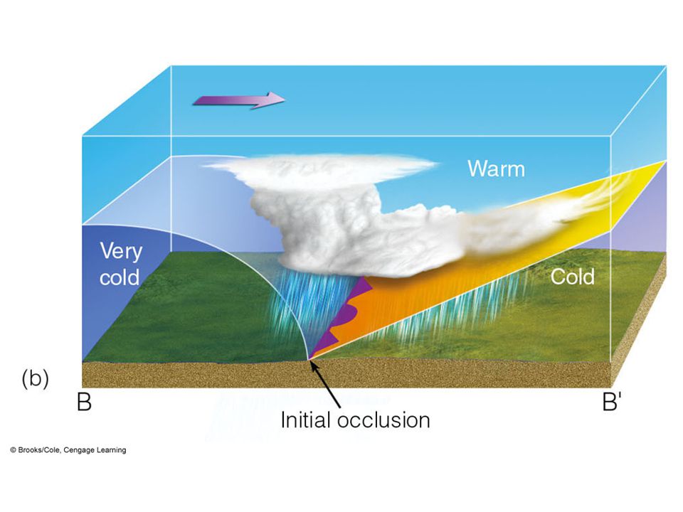
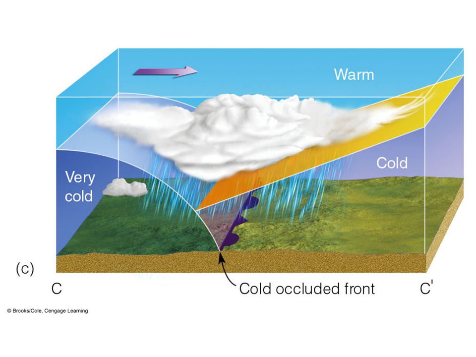
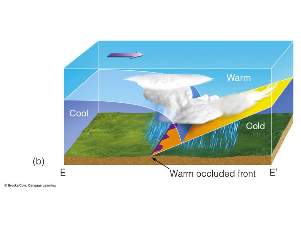
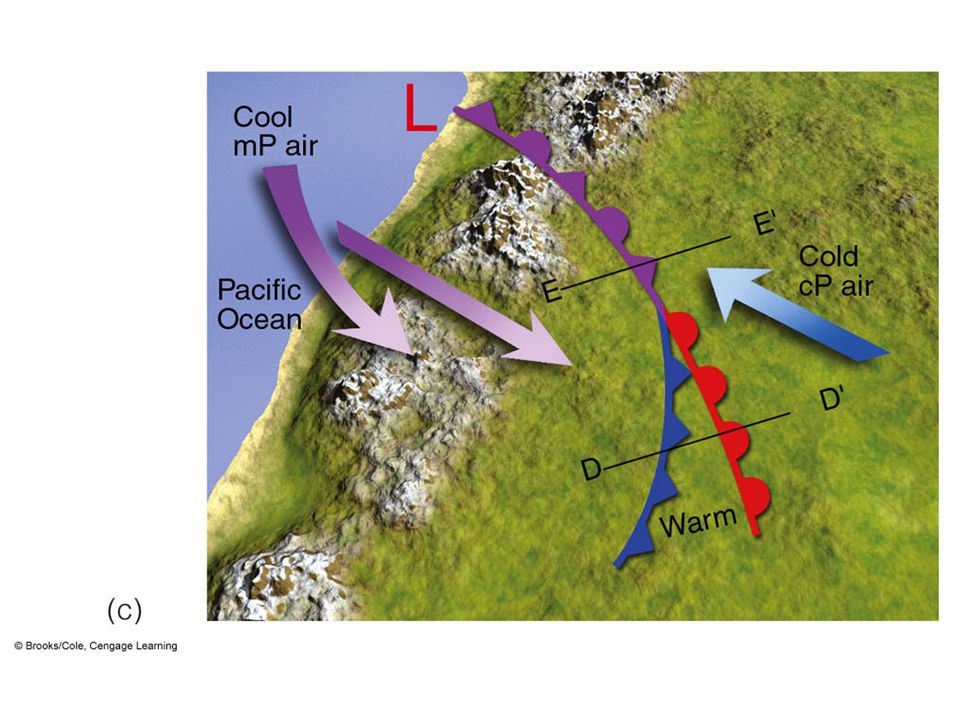
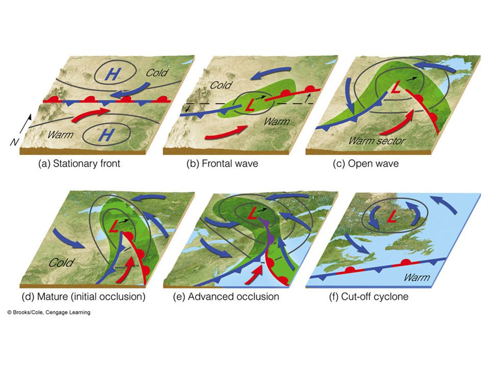
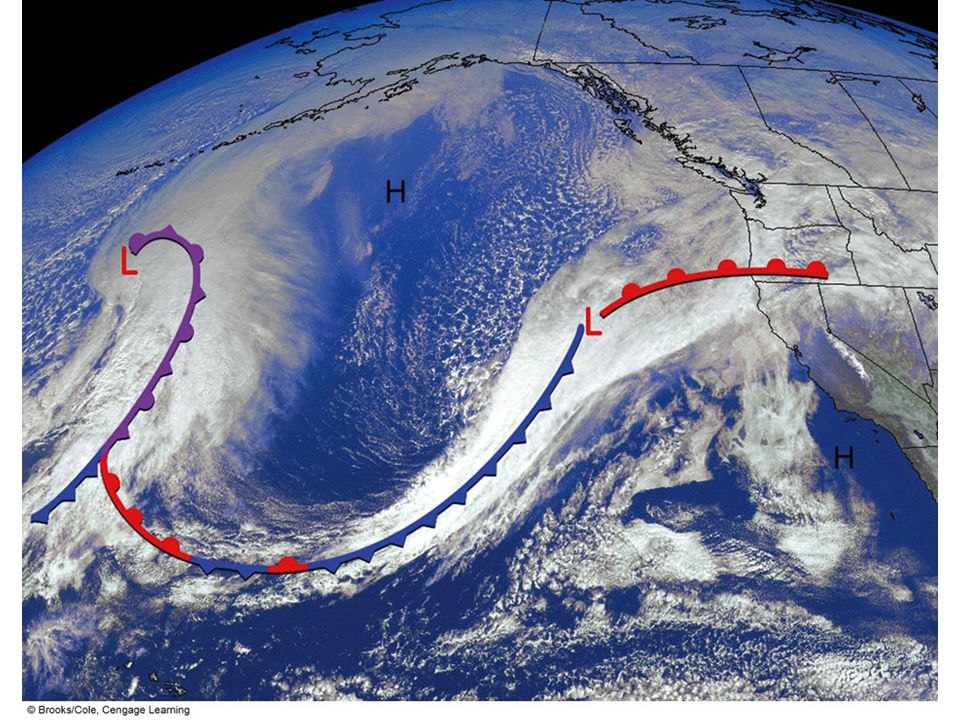
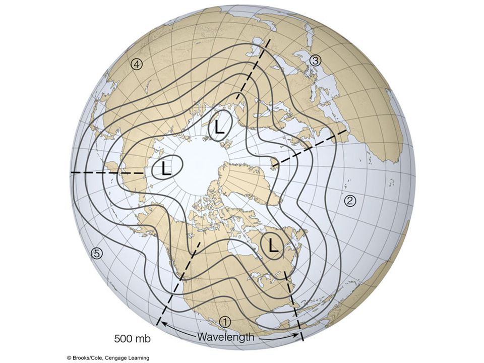
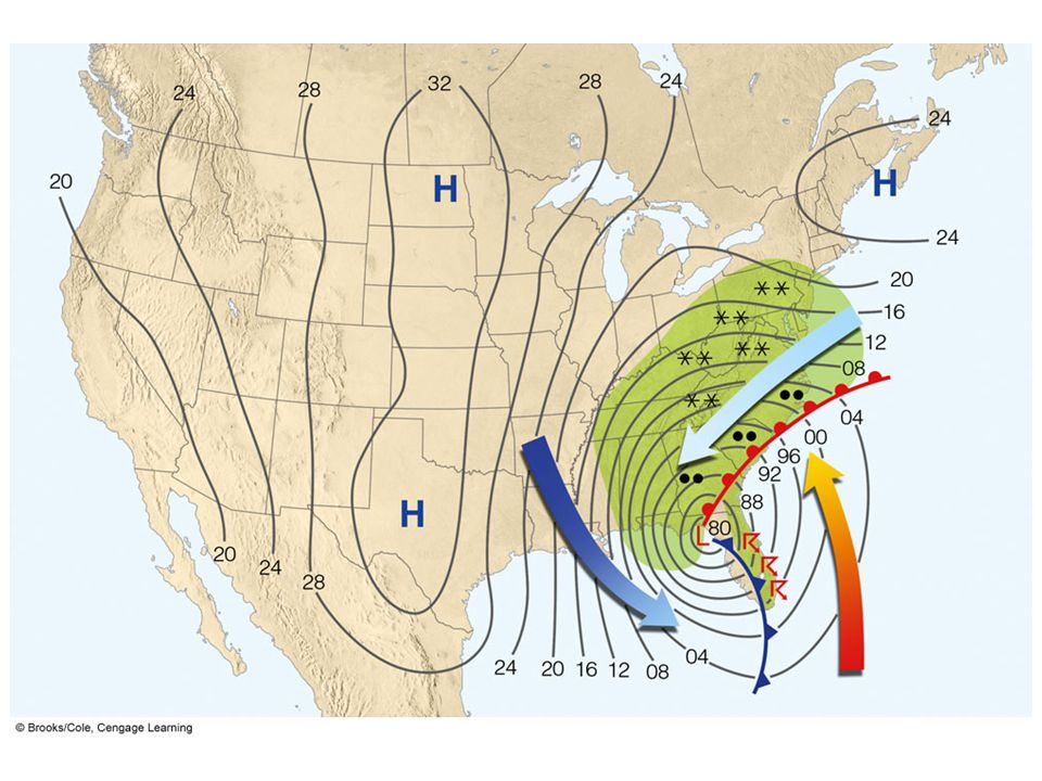
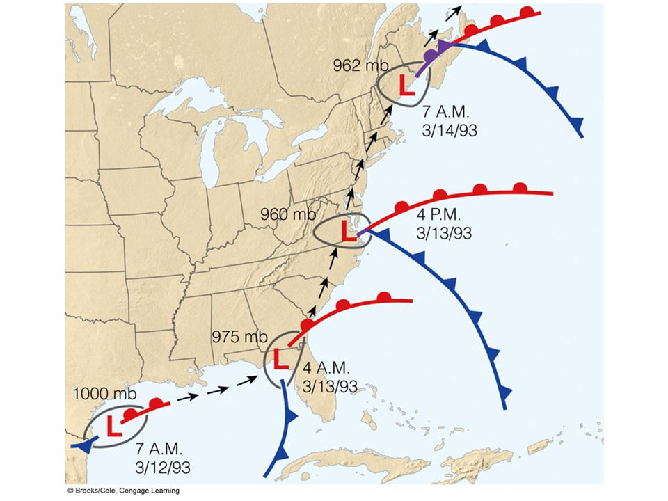
Polar Front Theory Polar front is a semi-continuous boundary separating cold, polar air from more moderate mid-latitude air Mid-latitude cyclone (wave cyclone) forms and moves along polar front in wavelike manner Frontal wave, warm sector, mature cyclone, triple point, secondary low, family of cyclones
 forms and moves along polar front in wavelike manner Frontal wave, warm sector, mature cyclone, triple point, secondary low, family of cyclones")
27
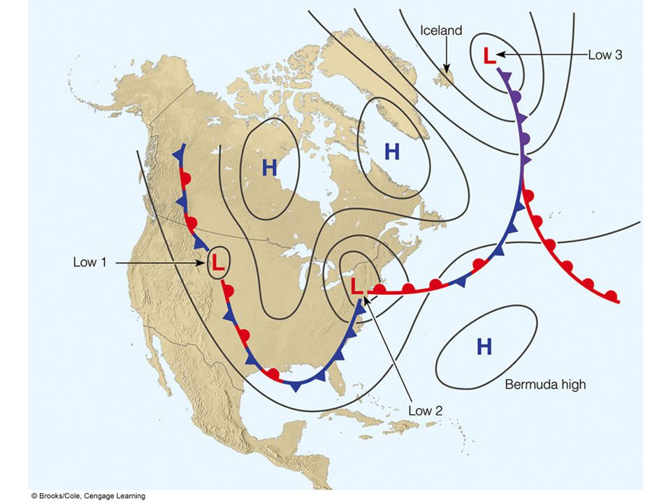
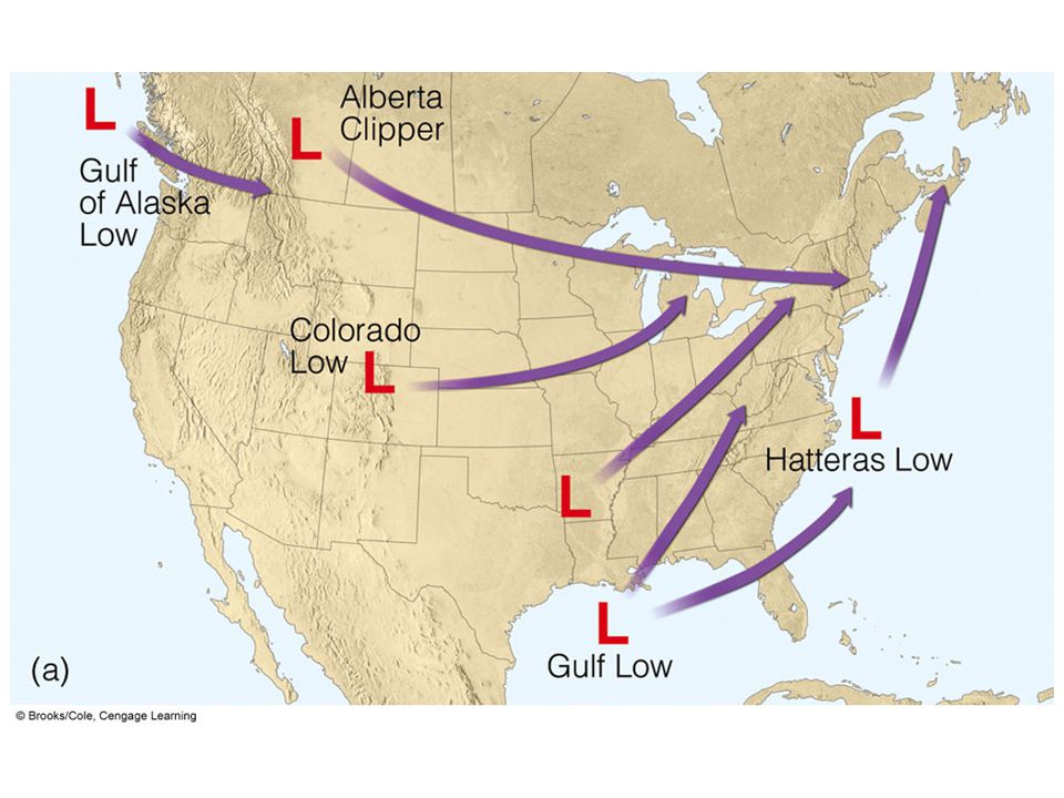
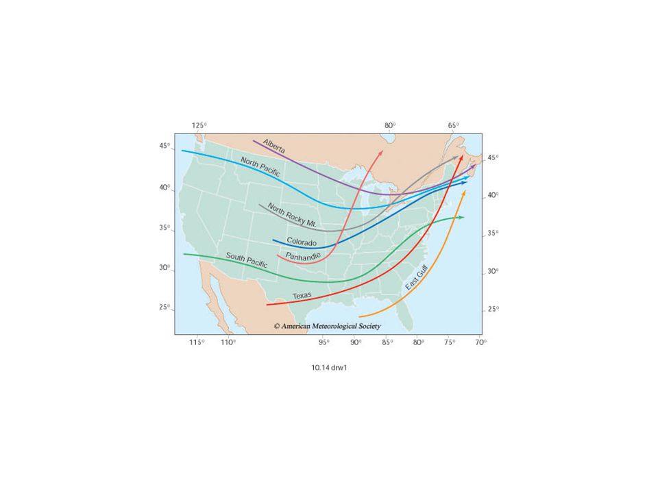
Where do mid-latitude cyclones tend to form? Lee-side lows (cyclogenesis) Nor’easters Hatteras low Alberta Clipper Explosive cyclogenesis, bomb
 Nor’easters Hatteras low Alberta Clipper Explosive cyclogenesis, bomb.")
38
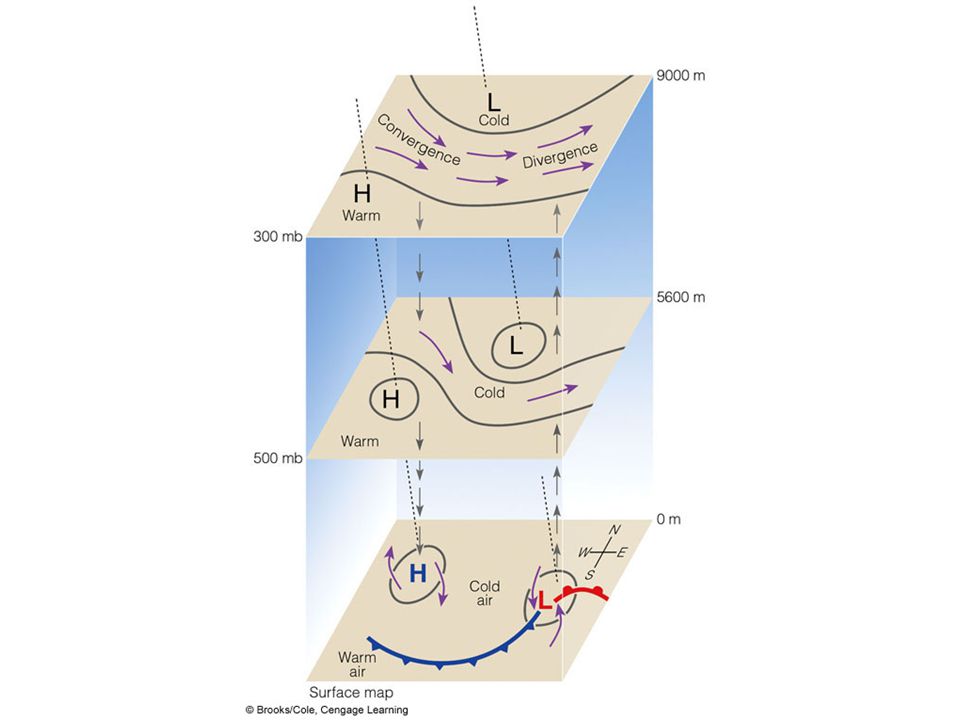
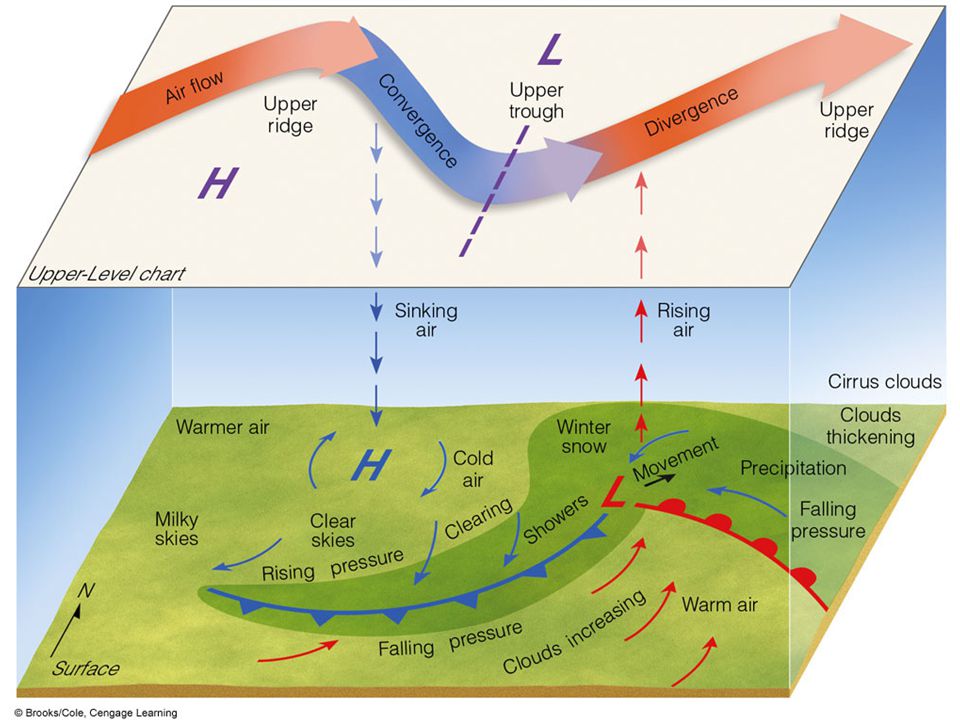
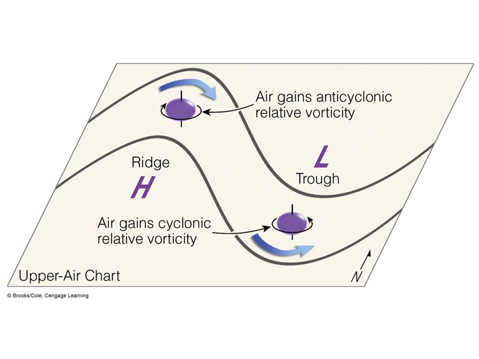
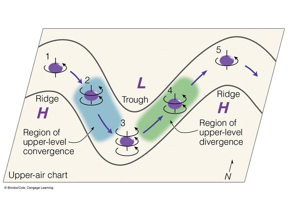
Vorticity, Divergence and Development of Cyclones Vorticity is a measure of the spin of small air parcels Positive: cyclonic, negative: anticyclonic Divergence aloft causes an increase in the cyclonic vorticity of surface cyclones = cyclogenesis and upward air movement

45
Stepped Art Fig. 9-25, p. 241

Similar presentations


 Another date in January (09 or 10 January)? Examination.>")

>")
