Download presentation
Presentation is loading. Please wait.

1
Grey County GIS Overview Grey County Public Works Association – April 4, 2012

2
Talk Overview Poll – Who has used County GIS website? What is GIS Road type example Union Gas example Air Photo example Culvert Example – grey road 15 (bayshore) Web Site overview
 Web Site overview.")
3
GIS is a System of computer software, hardware and data, and personnel to help manipulate, analyze and present information that is tied to a spatial location spatial location – usually a geographic location information – visualization of analysis of data system – linking software, hardware, data Geographic Information Systems (GIS) Spatial Location: Where is it? Species: Maple Height: 8m Age: 26yrs Species: Maple Height: 8m Age: 26yrs Attribute Information: What is it? 51 N 112 W

4
Database

5
Visualization “Worth a thousand words”

6
GIS Resources GIS web Site – http://maps.grey.cahttp://maps.grey.ca ELA (Enterprise License Agreement) recently signed with ESRI – You all have access to software
 recently signed with ESRI – You all have access to software")
7
Surface Types Red Surface Treatment Blue Hot Mix Grey Gravel

8
Desktop Software Union Gas information Sign information

9
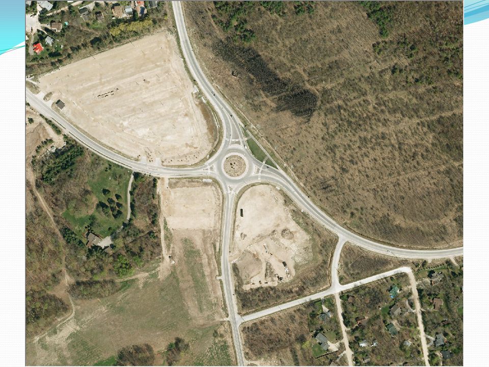
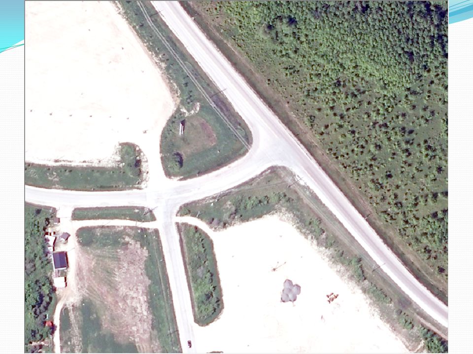
Air Photo Example Changes between 2006, 2010 airphotos

15
Web Site Demo Draw & Measure – paving job Identify – road attributes Search – Mailbox

16
Discussion Utilities Fibre Gas R-plan Autocad vs ESRI (GIS) What is important to Roads/Public Works
 What is important to Roads/Public Works")
17
Geoff Hogan, IT Director County of Grey (519) 376-2277 geoff.hogan@grey.ca Grey County Public Works Association – April 4, 2012
 Grey County Public Works Association – April 4, 2012")
Similar presentations


: computer information system that can input, store, manipulate, analyze, and display geographically.>")


 Geography is the study of locational and spatial trends about the earth’s surface, the objects found on it, and the.>")


 integrates hardware, software, and data for capturing, managing,>")