Download presentation
Presentation is loading. Please wait.

1
4.3.5 Cebu UPA Package 4, Module 3 CEBU

2
4.3.5 Cebu Cebu Exercises and Poverty Profile Introduction to Cebu and data sets Cebu Exercise 4.3.5Aerial Photographs and Satellite Image Interpretation for Poverty Mapping in the city of Cebu Cebu Exercise 4.3.6Exploring the Data Sets Cebu Exercise 4.3.7Development of a poverty profile (Group Assignment)
")
3
4.3.5 Cebu Location of Cebu Island and City

4
4.3.5 Cebu Quickbird Satellite Image November 2003

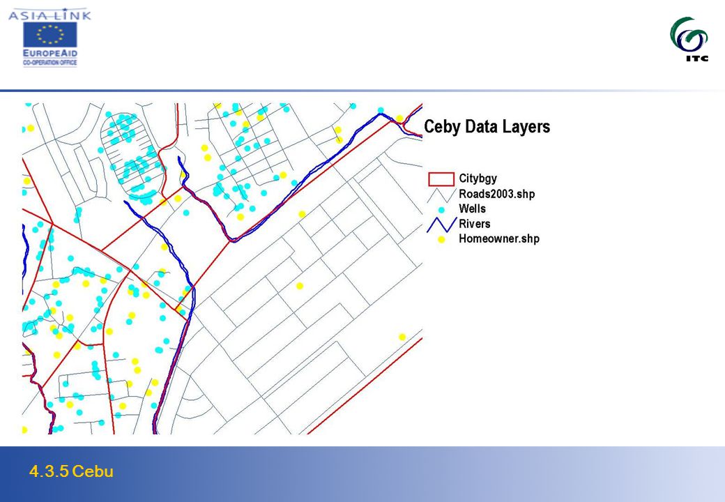
5
4.3.5 Cebu

6
Cebu Dataset

7
4.3.5 Cebu

9
Cebu Datasets Spatial Data LayerFormatData Set Description CitybgvCoverageBarangay boundaries HomeownerPoint shape fileHome owner Association Survey, 2003 Land UsePolygon shape fileLand Use 2000 HousingCoverageHousing variables MarketsCoverageMarket variables RoadsSegments shape fileroad variables SquattersPoint shape fileSquatter variables Water WellsCoverageWells location MosaicMr SicUncontrolled mosaic of 14 aerial photos SelectionMr SicQuickbird satelite image QuickbirdGeoTiff

10
4.3.5 Cebu Cebu Land Use 2000

11
4.3.5 Cebu 9

12
Cebu Exercise 4.3.5 To explore the feasibility of using remotely sensed images for identifying and mapping of informal settlements as a proxy for the spatial distribution of urban poverty. Evaluate the possibilities of the use of high–resolution satellite images (in comparison with aerial photographs for the identification of urban features.

13
4.3.5 Cebu Cebu Exercise 4.3.6 Explore spatial data sets to be able through visual interpretation obtain knowledge on the spatial distribution of informal settlements in Cebu and relate the settlements to other characteristics Create thematic maps through the integration of data sets Define indicators for poverty

14
4.3.5 Cebu Cebu Exercise 4.5.7 Assisting the GIS Centre of Cebu with restructuring of datasets Development of an improved spatial data framework Development of a poverty profile and prioritize areas for poverty alleviation programs

Similar presentations


 UPA Package 4, Module 3.>")


