Download presentation
Presentation is loading. Please wait.

2
מצגת שניה בסדרת דרך המשי 2012 Silk Road Series Presentation No. 2-2012

4
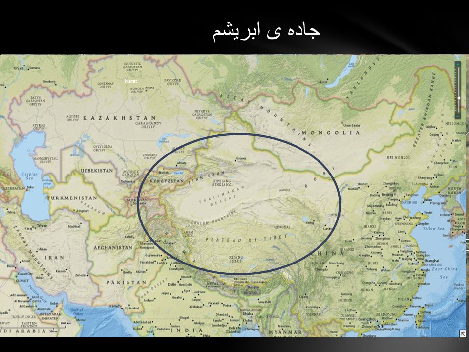
جاده ی ابریشم yining kuqa kashgar Taxkorgan Urumqi Turpan Don Huang Jiayuguan Zhangye Xining Tongren & Xiaha Linxia Lanzhou Narat

5
The Silk Road (from German: Seidenstraße) or Silk Route is a modern term referring to a historical network of interlinking trade routes across the Afro-Eurasian landmass that connected East, South, and Western Asia with the Mediterranean and European world, as well as parts of North and East Africa. Trade on the Silk Road was a significant factor in the development of the civilizations of China, India, Persia, Europe and Arabia. Though silk was certainly the major trade item from China, many other goods were traded, and various technologies, religions and philosophies, as well as the bubonic plague (the "Black Death"), also traveled along the Silk Routes. Extending 4,000 miles (6,500 km), the Silk Road gets its name from the lucrative Chinese silk trade along it, which began during the Han Dynasty (206 BCE – 220 CE).
, also traveled along the Silk Routes. Extending 4,000 miles (6,500 km), the Silk Road gets its name from the lucrative Chinese silk trade along it, which began during the Han Dynasty (206 BCE – 220 CE)..")
8
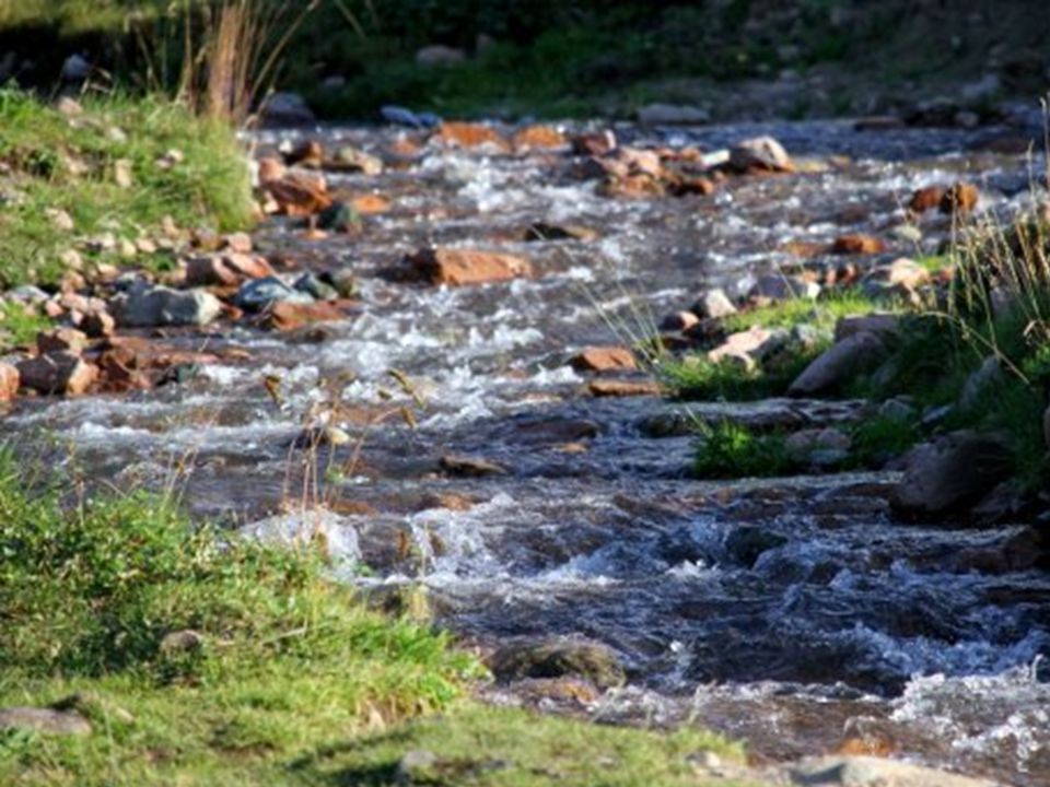
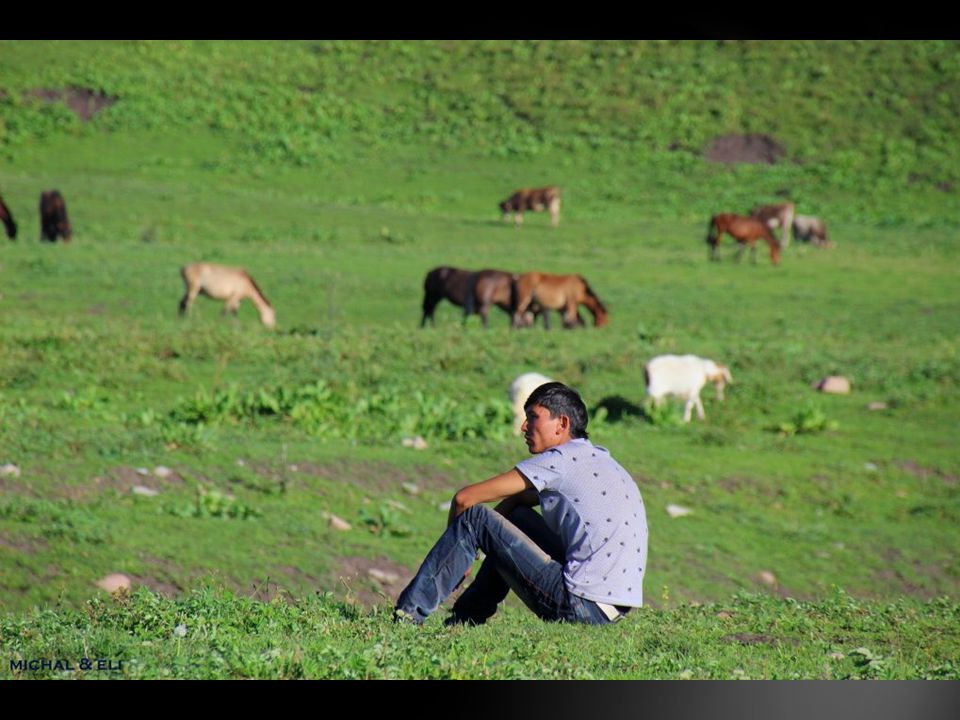
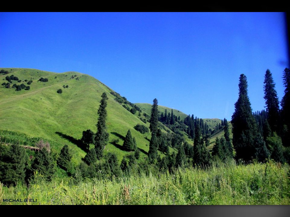
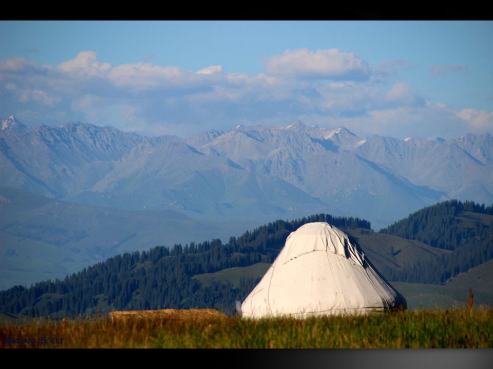
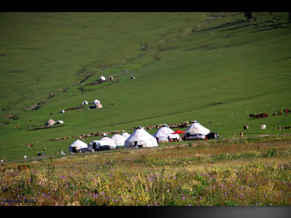
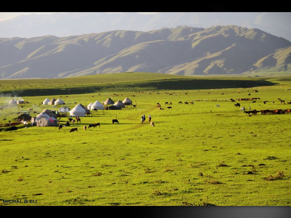
Narat Grassland in Ili Kazakh Autonomous Prefecture Xinjiang “Narat” in Monglian literally means “The place where sunshine first appears”. The “place” is now Narat Grassland in Ili Kazakh Autonomous Prefecture Xinjiang China. There is a story behind how the word “Narat” was coined. Gengkis Khan’s troop led by his second son Changatai (1185–1241) marched westward trying to cross the Ili Vlley in the hinterland of Tianshan Mountain. In the mountains and Ili Valley in Tianshan, the weather was terrible and detrimental with big snow. Cold and tired, the soldiers were reluctant to go further. Then suddenly they found a beautiful area, sunny, fertile at the present grassland where Narat Grassland is located. The soldiers shouted ” Narat, Narat’ which means the sun is coming here! Later the term “Narat” was adopted by local Kazakhs. Narat Grassland is about 180km long from east to west along the river bed sandwiched by the mountains of Tianshan in three sides, the east section of Ili valley. The famous Ili River zigzags through Ili Valley. Ili River is formed by its principal three tributaries - Kashi, Kunes, and Tekes. Kunes River is the upper reaches of Ili River, passing through the river bed of Narat Grassland. Narat Grassland is a typical river bed grassland and the alpine meadows. Narat Grassland is located at the sea- level of 1800 meters. It is inhabitated by Kazakh minority (but ironically, here in Narat Grassland,Han people are the minority. Under the river bed grassland at Narat is the fertile black soil, which make the grass grow bere. It is said the grass can be grown as high as 70-90 cm in Sepetmber. In winter it is very cold on the river bed, reaching over - 40 degree below.
 marched westward trying to cross the Ili Vlley in the hinterland of Tianshan Mountain. In the mountains and Ili Valley in Tianshan, the weather was terrible and detrimental with big snow. Cold and tired, the soldiers were reluctant to go further. Then suddenly they found a beautiful area, sunny, fertile at the present grassland where Narat Grassland is located. The soldiers shouted Narat, Narat’ which means the sun is coming here. Later the term Narat was adopted by local Kazakhs. Narat Grassland is about 180km long from east to west along the river bed sandwiched by the mountains of Tianshan in three sides, the east section of Ili valley. The famous Ili River zigzags through Ili Valley. Ili River is formed by its principal three tributaries - Kashi, Kunes, and Tekes. Kunes River is the upper reaches of Ili River, passing through the river bed of Narat Grassland. Narat Grassland is a typical river bed grassland and the alpine meadows. Narat Grassland is located at the sea- level of 1800 meters. It is inhabitated by Kazakh minority (but ironically, here in Narat Grassland,Han people are the minority. Under the river bed grassland at Narat is the fertile black soil, which make the grass grow bere. It is said the grass can be grown as high as cm in Sepetmber. In winter it is very cold on the river bed, reaching over - 40 degree below..")
25
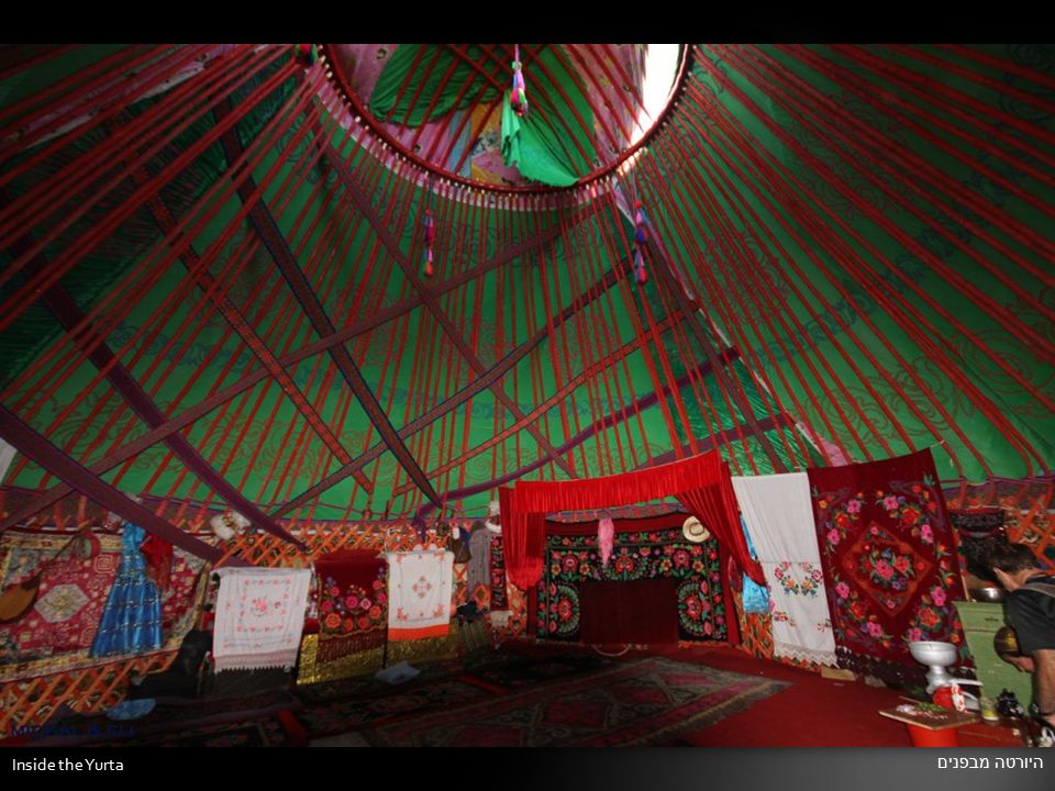
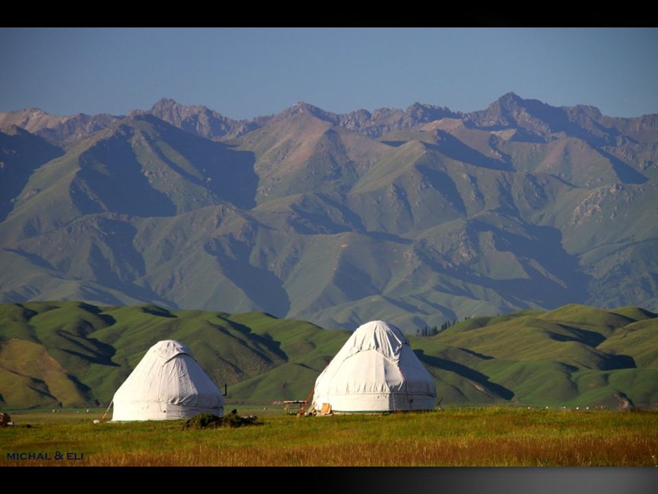
יורטה ( אוהל למגורים ) קאזחית Kazakh yurta
 קאזחית Kazakh yurta")
27
Inside the Yurta היורטה מבפנים

29
גבינות צאן לדרך... Goat Cheese for sell

Similar presentations