Download presentation
Presentation is loading. Please wait.

1
Geographic Information Systems Using ESRI ArcGIS 9.3 CAD import

2
Arc Catalog: CAD import

3
Double click to see the multiple classes included in the CAD file

4
Arc Catalog: CAD import Double click to see the multiple classes included in the CAD file

5
Arc Catalog: CAD import click to select one of the classes included in the CAD file

6
Arc Catalog: CAD import Right click

7
Arc Catalog: CAD import Feature Class To Shapefile Output location

8
Arc Catalog: CAD import Feature Class To Shapefile Name of the new shapefile

9
Arc Catalog: CAD import Feature Class To Shapefile SQL selection

10
Arc Catalog: CAD import Feature Class To Shapefile Fields

11
Arc Catalog: CAD import Feature Class To Shapefile Fields

12
Arc Catalog: CAD import Same for Polylines

13
Arc Catalog: CAD import Same for Polygons

14
Arc Catalog: CAD import Same for Annotation For the annotation, import the “Text” field too! Elevation can be disregarded

15
Arc Catalog: CAD import Result (repeat the above procedure for each of the classes)
")
16
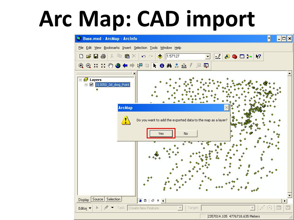
Arc Map: CAD import

26
(repeat the above procedure for each of the classes) Result
 Result")
Similar presentations


>")


 Make sure all features required are closed.>")
 732-7188 GIS and Mapping Procedures in ArcMap 9.x Creating an ArcMap Project Editing an ArcMap Project Printing an ArcMap Project.>")


 By Alma Vargas. Levels of Desktop ArcGIS Arc View Version that most clients will use The version that this session will.>")

