Download presentation
Presentation is loading. Please wait.

1
CENTRAL SCOTLAND SEA SCHOOL
INTRODUCTION TO G.P.S.

2
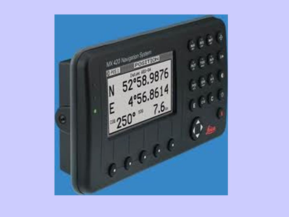
WHAT IS G.P.S. The Global Positioning System (GPS) is a satellite-based navigation system made up of a network of 24 satellites placed into orbit by the U.S. Department of Defense. GPS was originally intended for military applications, but in the 1980s, the government made the system available for civilian use. GPS works in any weather conditions, anywhere in the world, 24 hours a day. There are no subscription fees or setup charges to use GPS.
 is a satellite-based navigation system made up of a network of 24 satellites placed into orbit by the U.S. Department of Defense. GPS was originally intended for military applications, but in the 1980s, the government made the system available for civilian use. GPS works in any weather conditions, anywhere in the world, 24 hours a day. There are no subscription fees or setup charges to use GPS.")
3
HOW IT WORKS GPS satellites circle the earth twice a day in a very precise orbit and transmit signal information to earth. GPS receivers take this information and use triangulation to calculate the user's exact location. Essentially, the GPS receiver compares the time a signal was transmitted by a satellite with the time it was received. The time difference tells the GPS receiver how far away the satellite is. Now, with distance measurements from a few more satellites, the receiver can determine the user's position and display it on the unit's electronic map.

5
WHY SHOULD I TRUST G.P.S. It is very reliable.
It will tell you when it is wrong. WHY SHOULD I NOT TRUST G.P.S. It is powered by yacht’s batteries – could fail. It is Line of Sight to satellites – could lose sight of the satellites. Atmospheric conditions my disrupt the signals. HDOP – Could receive a signal bounced from the sea – therefore it could receive the SAME signal twice.

6
ABBREVIATIONS C.O.G. Course Over the Ground
S.O.G. Speed Over the Ground W.P.T. WayPoinT X.T.E. Cross Track Error

7
C.O.G. Course Over the Ground
The GPS takes a series of Fixes over a period of a few seconds. From this line of fixes it can determine your direction over the surface of the Earth.

8
C.O.G. Versus Course through the Water
The COG gives your track over the Ground (Earth’s Surface). The Course through the Water is affected by tide and wind (Leeway). THEREFORE THE GPS TAKES IN TO ACCOUNT ANY TIDAL CURRENT AND LEEWAY. COURSE THROUGH THE WATER DOES NOT.
. The Course through the Water is affected by tide and wind (Leeway). THEREFORE THE GPS TAKES IN TO ACCOUNT ANY TIDAL CURRENT AND LEEWAY. COURSE THROUGH THE WATER DOES NOT.")
9
S.O.G. Speed over the ground
From the series of fixes, the GPS can establish the distance you have travelled over a period of time. Therefore given Distance Travelled & Time Taken this will give you the Speed you have travelled at.

10
WPT Waypoint Your GPS Receiver has the facility to accept a fixed point on the earth’s surface. You input this either using the Pointer or by typing in the Latitude & Longitude. You can tell your Receiver to indicate the Waypoint Bearing & Range from YOUR present position. This will give you a FIX.

11
XTE Cross Track Error The GPS Receiver can tell you how far you are OFF your Track to a Waypoint. For example: Using a Rolling Road display, which looks just like you travelling along a road, it will tell you how far you are Left or Right of the Track to the Waypoint.

14
RAPID NAVIGATION WITH GPS
Distances off Track The LADDER format. Waypoints Distances to WPT WPT 4NM XTE 300Yds Left

15
RAPID NAVIGATION WITH GPS
WEB Format

16
MAKING A ROUTE WPT 1 WPT 4 WPT 2 WPT 3
The GPS will give you the Distance on each Leg & Total Distance. It can also give you the COG. WPT 1 WPT 4 WPT 2 WPT 3 You can name a Waypoint - You can name a Route. This is for easy reference.

17
BEWARE Do NOT Put your way point on a Navigational Mark – you might hit it ! Beware of using a popular Waypoint –other yachts might be using it ! Always check your route does not put you aground ! ALWAYS REMEMBER ALL THE INFORMATION COMES FROM ONE SOURCE – THE SATELLITE FIX OF YOUR YACHT

Similar presentations


 for Precision Farming>")


. NAVSTAR Global Positioning System (GPS) Globally.>")
