Download presentation
Presentation is loading. Please wait.

1
Chris Raymond Land and Biodiversity Services Division, DWLBC Mapping landscape values for natural resources management planning

2
Outline What are landscape values? Why map them? How do you map them? What do the results look like? What are the implications for NRM planning?

3
What are landscape values? Attachment or emotional bond that people develop with place –Use value (places that provide tangible benefits ) Economic Value Recreation Value –Non-use value (places that represent ideas) Spiritual Value Future Value
 Economic Value Recreation Value –Non-use value (places that represent ideas) Spiritual Value Future Value.")
4
GIS Information Map Layer **LANDSCAPE VALUES** Government assets Commercial activity Wildfire threat Salinity Threatened species Water quality Soil type Towns and suburbs Planning Study Index Reference

5
Why map landscape values? Lack of systematic methods for identifying and integrating community values into NRM Values are linked to political acceptability of land-use decisions Integral to Goal 3 of the State NRM Plan (Peoples and Communities) –3.4.4 “Seek and value the knowledge, skills and expertise of local people, including Aboriginal landholders, in planning and on-ground delivery” Identify place-specific priorities for NRM investment.
 –3.4.4 Seek and value the knowledge, skills and expertise of local people, including Aboriginal landholders, in planning and on-ground delivery Identify place-specific priorities for NRM investment..")
6
Sample Survey Instrument Map Landscape Values Typology Survey Mail Out (Dillman TDM) Data Entry Results Analysis How do you map landscape values?
 Data Entry Results Analysis How do you map landscape values")
9
Title is typed in Blue

11
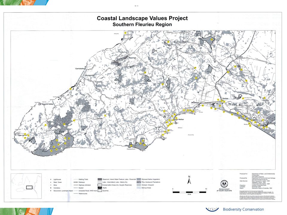
What do the results look like? Case Study 1: Otways Region of Victoria

12
Hotspot analysis of aesthetic value STUDY AREA

13
Hotspot analysis of spiritual value

14
Hotspot analysis of tourism development preferences

15
West Central Alberta, Canada

17
Implications for NRM planning Systematic and representative process Transparent Identify areas of values conflict and special management concern Overlay with other land attributes for integrated resource management Recognises the role of non-use values in resource decision making Provides a baseline for monitoring and evaluation

18
References Brown, G. 2005. Mapping spatial attributes in survey research for natural resource management: Methods and applications. Society and Natural Resources 18(1):17-39. Brown, G., and Raymond, C. (2007) The relationship between place attachment and landscape values: Toward mapping place attachment. Applied Geography 27(2):89-111. Raymond, C., and Brown, G. (2006) A method for assessing protected area allocations using a typology of landscape values. Journal of Environmental Planning and Management 49(6):797-812. Raymond, C., and Brown, G. (2007). A spatial method for assessing resident and visitor attitudes toward tourism growth and development. Journal of Sustainable Tourism. Anticipated publication in Volume 15, issue 4 or 5..
: Brown, G., and Raymond, C. (2007) The relationship between place attachment and landscape values: Toward mapping place attachment. Applied Geography 27(2): Raymond, C., and Brown, G. (2006) A method for assessing protected area allocations using a typology of landscape values. Journal of Environmental Planning and Management 49(6): Raymond, C., and Brown, G. (2007). A spatial method for assessing resident and visitor attitudes toward tourism growth and development. Journal of Sustainable Tourism. Anticipated publication in Volume 15, issue 4 or 5...")
Similar presentations