Download presentation
Presentation is loading. Please wait.

1
Boundary Currents - combine knowledge of global winds and Ekman flow - surface transport can be determined from wind direction/velocity - surface transport alters ocean surface dynamic height - dynamic height differences => geostrophic flow in ocean - the existence of a coastline leads to upwelling or downwelling Geography 104 - “Physical Geography of the World’s Oceans”

2
equatorward winds along a coastline lead to offshore Ekman transport mass conservation requires these waters replaced by cold, denser waters from below subsurface water brings nutrients to surface, thus enhancing biological production offshore Ekman transport creates sea level slope, thus equatorward geostrophic current Coastal Upwelling

3
global atmospheric pressure and winds equatorward wind off California coast in summer (anti-cyclonic winds around atmospheric high pressure)
")
4
Equatorward winds drive offshore Ekman transport

5
offshore Ekman transport sets up sea level slope Upwelling must occur to replace water transported offshore

6
sea level slope drives equatorward geostrophic current Coriolis pressure indicates flow out of the page

7
offshore Ekman flow & equator-ward geostrophic current

8
coastal upwelling – northern hemisphere level surface

9
coastal upwelling – northern hemisphere level surface - sea surface tilts up offshore - pressure force on shore - geostrophic current downcoast - geostrophic current downwind current pressure Coriolis

10
CalCOFI Data April 2000 temperature sea level 12 16 0.76 1.0

11
CalCOFI Data April 2000 sigma-t 8.0 0.12 25.7 24.6 phytoplankton increased phytoplankton => enhanced fisheries

12
CalCOFI Data April 2000 more phytoplankton (previous slide) because of more nutrients (this slide)
 because of more nutrients (this slide)")
13
phytoplankton temperature upwelling drives cool and biologically productive waters near the coast

14
upwelling: Arabian Sea upwelling can occur on east coasts with poleward winds (NH) wind upwelling
 wind upwelling")
15
equatorward winds along a coastline lead to offshore Ekman transport mass conservation requires these waters replaced by cold, denser waters from below subsurface waters brings nutrients into surface waters creating biological production offshore Ekman transport creates sea level gradient, thus equatorward geostrophic current typical vertical velocity ~1 m per day Coastal Upwelling

16
poleward winds along a coastline lead to onshore Ekman transport surface waters reach shore and move downward nutrient rich waters near shore are pushed downward, thus no biological productivity onshore Ekman transport creates sea level gradient and poleward geostrophic current Coastal Downwelling

17
coastal downwelling – northern hemisphere level surface Wind current pressure Coriolis - sea surface tilts up onshore - pressure force offshore - geostrophic current downwind - geostrophic current poleward

18
equatorial upwelling equator Trade winds

19
cyclonic & anti-cyclonic wind upwelling Ekman transport convergence, downwelling Ekman transport divergence, upwelling

20
do convergence – divergence Ekman flows examples on board

21
need to know 4 things for exam - given coastal wind direction, coastline orientation, and hemisphere determine upwelling or downwelling system - know upwelling systems are cool and biologically productive - know direction of geostrophic flow in upwelling system - know California current is an upwelling system

23
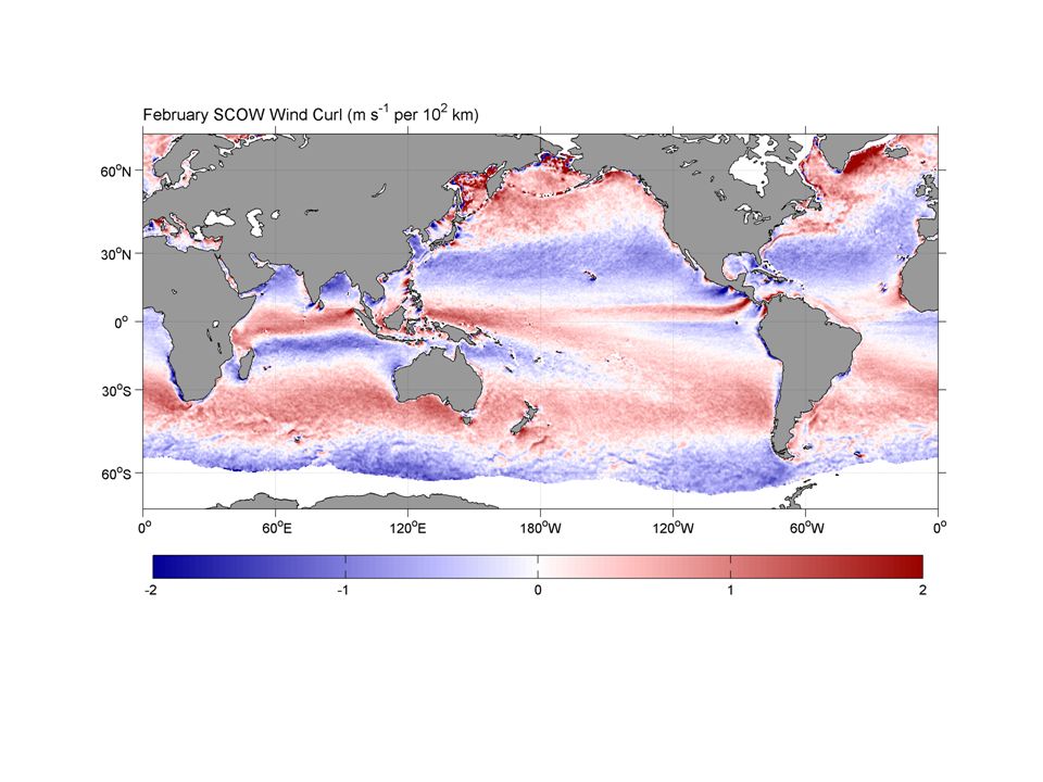
10 m s -1 per 100 km

24
Eastern and Western Boundary Currents - western boundary currents are narrow and fast moving - eastern boundary currents are wider and slower moving - must know Kuroshio and Gulf Stream are western boundary currents - must know California Current is eastern boundary current

25
global wind-driven circulation know Gulf Stream, Kuroshio and California Current locations

26
North Atlantic currents and transport Gulf Stream

27
Gulf Stream from space

28
Benjamin Franklin (1706-1790) Wondered why sailing from America to Europe took less time than sailing from Europe to America
 Wondered why sailing from America to Europe took less time than sailing from Europe to America")
29
Franklin’s chart of Gulf Stream - 1777

30
Henry M. Stommel (1920-1992)
")
31
Gulf Stream, Stommel (1947) - constant rotation rate (i.e. Coriolis force fixed) - no western intensification results stream lines sea surface elevation
 - no western intensification results stream lines sea surface elevation.")
32
Gulf Stream, Stommel (1947) - rotation rate (Coriolis force) increases with latitude - western intensification results stream lines sea surface elevation
 - rotation rate (Coriolis force) increases with latitude - western intensification results stream lines sea surface elevation")
33
ring formation in the Gulf Stream - warm core eddies are anti-cyclonic - cold core eddies are cyclonic

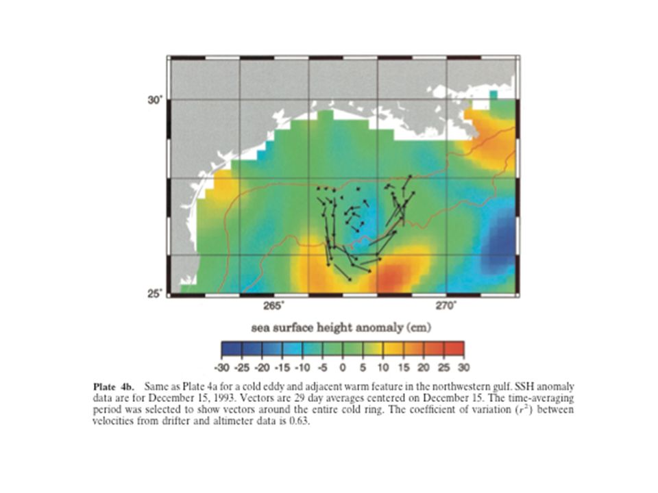
34
Gulf Stream rings warm core => anti-cyclonic circulation small gyre circulation features called eddies

39
Readings (Surface and Deep Circulation): Text Chapter 9 (pgs 165 - 189) Reader pgs. 105 – 129 (Thermohaline Circulation)
.")
Similar presentations


 Winds and wind-driven basin circulation Meanders, rings, eddies and gyres The thermohaline circulation.>")


 EarthsClimate_Web_Chapter.pdfEarthsClimate_Web_Chapter.pdf, p. 22-24.>")


>")