Download presentation
Presentation is loading. Please wait.

1
OpenStreetMap What, Why, and How by Blars Blarson

2
OpenStreetMap ● What is OpenStreetMap? ● Why does OpenStreetMap exist? ● How do I use OpenStreetMap? ● How can I help OpenStreetMap?

3
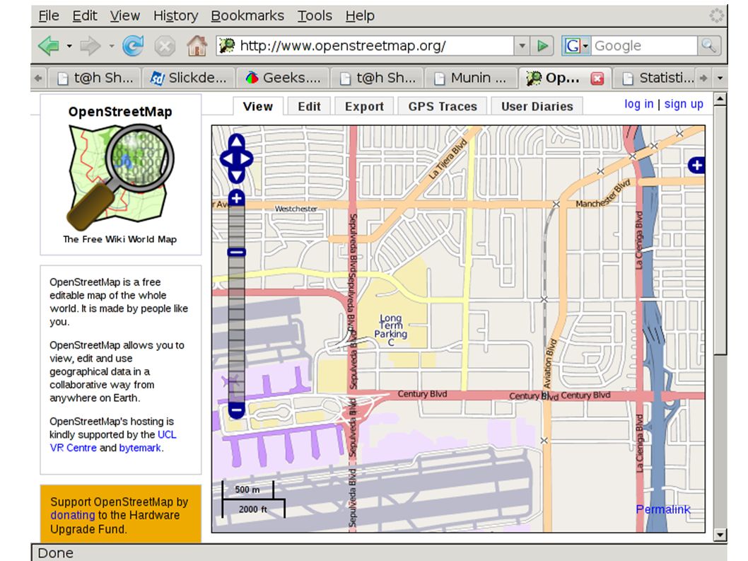
What is OpenStreetMap? ● Web Map ● Database of map vector data ● Free license – Currently CC-by-SA – Future open data licence ● Editable by users Wiki-Style ● GPX track archives

5
Why does OpenStreetMap exist? ● Most other maps are non-free – free-as-beer but not free-as-liberty ● Vector data for custom maps is difficult to obtain ● Users can improve the map ● Fast updates ● Commercial maps have intentional errors ● Many areas of the world are mapped poorly ● Specialty maps ● Innovative uses

6
How do I use OpenStreetMap? ● http://www.openstreetmap.org/ http://www.openstreetmap.org/ ● http://informationfreeway.org/ http://informationfreeway.org/ ● http://wiki.openstreetmap.org/ http://wiki.openstreetmap.org/ ● http://planet.openstreetmap.org/ http://planet.openstreetmap.org/ ● http://downloads.cloudmade.com/ http://downloads.cloudmade.com/ ● http://lists.openstreetmap.org/ http://lists.openstreetmap.org/ ● irc://irc.oftc.net/#osm

7
Existing OpenStreetMap maps ● Mapnik layer ● Tiles@Home Layer – Maplint overlay ● CycleMap layer ● NoName layer ● Maps for Garmin GPS ● Routing ● Local map servers

8
Making Custom Maps ● Mapnik ● OsmaRender – creates.svg files that can be rendered to.png ● Doing a Restaurant Map – http://wiki.openstreetmap.org/wiki/Restaurant_guide http://wiki.openstreetmap.org/wiki/Restaurant_guide ● mkgmap

9
Editing the map ● Potlatch – aka the edit tab – Requires flash – has problems with slow net connections or server ● JOSM – offline editor – requires java – uses a lot of memory ● Merkaartor

10
Getting the data ● Weekly planet dumps – 5 GB bzip2 – 100 GB xml file ● Daily, Hourly, and Minute change files ● Various extracts ● API, ROMA, TRAPI, and XAPI

11
OpenStreetMap data sources ● Data collected with GPS units ● Public-domain – TIGER census maps of the US ● “local knowledge” ● Out-of-Copyright maps ● Donated data – AND data for the Netherlands – Canadian Government data

12
OpenStreetMap data sources ● Appropriately Licensed imagery – Landsat – Yahoo imagery ● Do NOT use copyright maps or data sources – without proper permission

13
OpenStreetMap ● Started in 2004 by Steve Coast ● Most servers located at UCL in London ● API upgrade planned for March 20-21 ● Over $22,500 raised in 3 days for new server in early February – Goal was $15,000 ● 90,000 registered users ● OSM Foundation

14
How to contribute ● Create GPX traces – Walking, biking, or driving – Notes with paper, voice recording, or camera ● Edit the map ● Write software ● Tiles@Home client ● Join the OSM Foundation ● Donate money ● Host servers

15
Technical details ● nodes, ways, and relations – nodes are positions with optional tags – ways are sorted lists of nodes with tags ● also used for areas – relations are lists of members with roles and tags ● tags are strings – key and value – users can define new features – See the “Map Features” wiki page

16
Technical details ● external interface is XML ● main database is MySQL ● server is ruby-on-rails ● programs in ruby, Java, perl, python, C, mumps, flash

Similar presentations


 Member of Swedish.>")


 Not software It's a collaborative project to create a free & editable map of the world.>")


