Download presentation
Presentation is loading. Please wait.

6
SECOORA Maps/WMS(OGC Web Mapping Service) via MapServer - animations via javascript DODS/OPeNDAP access to basic tables (organization, platform, sensor, multi_obs)
 via MapServer - animations via javascript DODS/OPeNDAP access to basic tables (organization, platform, sensor, multi_obs)")
7
SECOORA interactive maps via javascript (OpenLayers http://openlayers.org ) http://openlayers.org
")
8
Carolinas Coast and SMWP(Southeast Marine Weather Portal) development with NWS
 development with NWS")
9
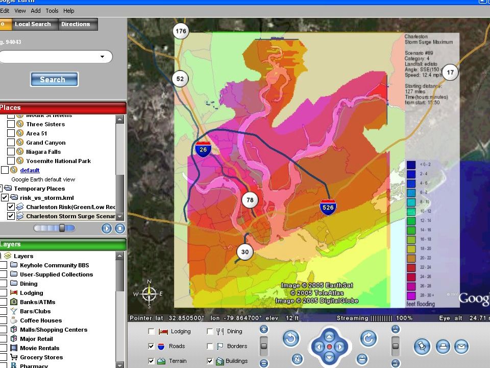
Latest data products KML (Keyhole Markup Language) which is the XML format used to visualize data in Google Earth and potentially other 3D Globes such as NASA WorldWind and ESRI ArcExplorer
 which is the XML format used to visualize data in Google Earth and potentially other 3D Globes such as NASA WorldWind and ESRI ArcExplorer")
10
Archival data products CSV (Comma Separated Value) files(exchange format) viewable using ODV(Ocean Data View) for CTD/Bottle analysis
 files(exchange format) viewable using ODV(Ocean Data View) for CTD/Bottle analysis")
11
Seacoos netCDF convention and data dictionary netCDF for analysis using ncBrowse

12
Xenia Relation Database Table Schema – Basic Main tables used for storing organization->platform->sensor->observation data organization->platform->sensor->observation data Not using geospatial indexing initially(can be added) to keep things simple
 to keep things simple")
13
Format Convention No Convention Xenia Relational Database SQL Web Screen-Scrape ASCII Fields + Key File SEACOOS netCDF XML SQL conversion script Time Series Graphs Maps/WMS Animations Archival files by Obs/Platform CSV netCDF,shapefile,etc Latest Data by Obs/Platform KML/Google Earth,etc XML/RSS/WFS? Quality Control Notification Products

14
ObsKML (Observations KML) A simple XML encoding of observation metadata associated with a KML Placemark. Default XML import/export format for Xenia database Instances.

Similar presentations


 Data Management and Visualization.>")


>")


 and IRIS DMC Services: CyberInfrastructure Support for Seismic Data Visualization and Interpretation Charles Meertens.>")
: Use of GIS for making statistics.>")


