Download presentation
Presentation is loading. Please wait.

2
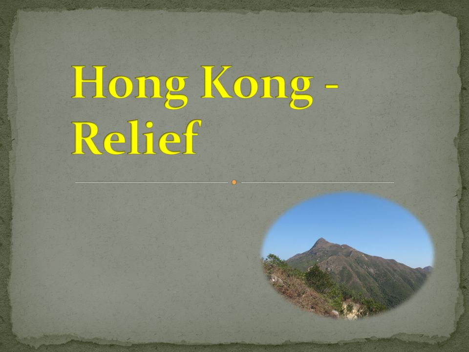
Students will have 5 minutes to study the information in Atlas about the relief in Hong Kong.

3
1. The highest mountain in Hong Kong is _______. Lantau Peak Sunset Peak Tai Mo Shan Tate’s Cairn

4
957 m 934 m 869 m 702 m 2. What is the height of the highest mountain in Hong Kong ?

5
Hilly with limited flatland Long and irregular coastline Mountains extend from NW to SE With many islands 3. Which of the following description about the relief in Hong Kong is INCORRECT ?

6
4. The biggest island in Hong Kong is ___________. Hong Kong Island Lantau Island Lamma Island Cheung Chau

7
NW of the New territories SE of the New territories South of Hong Kong Island Central part of the New territories 5. The largest piece of lowland is located in _______.

8
6.The common rock type in Hong Kong is __________. Rhyolite Siltstone Granite

9
Ng Tung River Liuxihe Lam Tsuen River Sheung Yue River 7. Which of the following river is NOT found in Hong Kong ?

10
65°above 45°- 60° 15°- 35° 8. The gradient of most natural slopes in Hong Kong is ________.

11
9. Circle the Landslip Warning Signal in Hong Kong.

12
10.Which season will landslide usually happen in Hong Kong ? Spring Summer Autumn Winter

Similar presentations


. Summer AT NOON AT THE HONG KONG OBSERVATORY THE AIR TEMPERATURE WAS 25 DEGREES CELSIUS AND THE RELATIVE HUMIDITY 95 PER CENT.>")
>")


