Download presentation
Presentation is loading. Please wait.

1
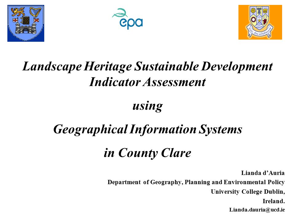
Landscape Heritage Sustainable Development Indicator Assessment using Geographical Information Systems in County Clare Lianda d’Auria Department of Geography, Planning and Environmental Policy University College Dublin, Ireland. Lianda.dauria@ucd.ie
2
Keywords Sustainable Development Landscape Heritage - attributes and components Landscape Indicators Pressure-State-Response Framework Geographical Information Systems County Clare a HOLISTIC & INTEGRATED approach

3
Study Area Location: County Clare

4
County Clare, Western Ireland

5
Agenda 1Goals and Objectives 2Methodology, Materials, Components & Tools –3 Developing PSR framework –4 Landscape Heritage: Data Sources, Attributes & Components –5 Establishing Landscape Indicators –6 Geographical Information Systems 7Interaction with researchers and users of data 8Overall Targets 9Concluding Comments

6
Goals and Objectives Overall Objectives –Develop Indicators Data-gather, integrate –PSR framework tool develop, integrate date evaluate and validate this framework tool –Integrate GIS - develop, integrate raw data and results –Disseminate knowledge, e.g. WWW CD

7
The Driving Forces, Pressures, State, Impacts and Responses (DPSIR) Framework (Eurostat, 2001)
 Framework (Eurostat, 2001)")
8
ENVIRONMENTAL INDICATORS & Performance measurement UNDERLYING DATA SETS Results / achievements Objectives Targets, commitments Aims, goals ENV. PERFORMANCE INDICATORS/INDICES Core and key indicators Sectoral indicators ENVIRONMENTAL INDICATORS context interpretation MEASURING PERFORMANCE ANALYSING POLICIES EVALUATION TOOL context interpretation REPORTING TOOL MONITORING TOOL MEASURING PROGRESS link to

9
SEA Objectives SEA Indicators predictionbaselinemonitoring Link between Indicators and other Aspects of SEA (Therivel, 2004)
")
10
DPSIR Framework at work in Co. Clare: relationships between Human Activities and the Environment (OECD, EEA) pressures state impacts driving forces responses
 pressures state impacts driving forces responses.")
14
Co. Clare Data Sources Aerial Photos O.S.I. Maps Databases Literature Research\Fieldwork Pers. Comm. Ecology The Heritage Service + others Hydrology Earth Science GSI Soils Teagasc Caves Self Archaeology The Heritage Service Finch Maps Architecture Clare County Council

15
Attributes and their Components within County Clare

16
Questions to Address How are the information needs and strategies defined? What type of data and information is collected? Which Indicators? The implication of using the tool? How successful it has been and will be in practice? What research is needed for tool development? What other tool(s) it combines well with?
 it combines well with .")
17
Demand for Indicators of Environmental Sustainability –There has been a need for indicators capturing the linkages between the environmental and the other two dimensions of sustainability Demand for a Composite Indicator –Decision-makers as well as the general public would like to know at one glance what is the environmental situation in a given country a clear request for developing a single indicator that could serve as an overall measure of environmental sustainability

18
The OECD – 3 main functions Simplification –reduce no of components/measurements requires to give in-depth account of condition/situation Quantification –To provide a synthetic account of a specific condition/situation that can be analysed in further detail Communication –Convey message easy to interpretate Expression of ‘the best knowledge available’ –Policy relavant –Analytical soundness & –Measurability

19
Aims of GIS Tool for data integration an inventory for the storage of data in a spatially referenced digital format an analytical tool to allow the identification of critical areas by the overlaying of different variables a visualisation tool for potential management regimes

20
Interaction with Researchers and Users of Data disseminate knowledge at various levels seminar/colloquium/workshop for Clare County Council & local interest parties e.g. To provide recommendations to CCC as to how landscape heritage management should be taken forward in the future What it should deliver (outputs) Who should be involved (contributors) Opportunities (e.g. for collaborative working and joint research) present papers at national and international conferences publish papers develop a website providing research information i.e. a non-technical summary and a detailed report of findings
 Who should be involved (contributors) Opportunities (e.g. for collaborative working and joint research) present papers at national and international conferences publish papers develop a website providing research information i.e. a non-technical summary and a detailed report of findings.")
21
Overall Targets 1.Support the development of strategic, long-term environmental policies and to the decision making processes through the assistance to the implementation of this project within County Clare. 2.Improvement of the authenticity and actuality of the data and the capacities for delivering short/long-term environmental outlooks and reporting. Visualisation of the data and trends. Promote this research project framework tools/results to different user groups.

22
Further work Define set(s) of indicators? Continual collection/collation of data Continue review of DPSIR use –bottom-up & top-down approach

23
Conclusion –Present challenges Gathering data –Different approaches to knowledge –Different merit systems ??? –the best is probably yet to come?? Concluding Comments

24
Contributions from the floor Lianda d’Auria Department of Geography, Planning and Environmental Policy University College Dublin, Ireland. Lianda.dauria@ucd.ie Thank You

Similar presentations