Download presentation
Presentation is loading. Please wait.

1
Integrating GIS & fieldwork for geoscience undergraduates Anne-Marie Nuttall School of Biological and Earth Sciences Liverpool John Moores University

2
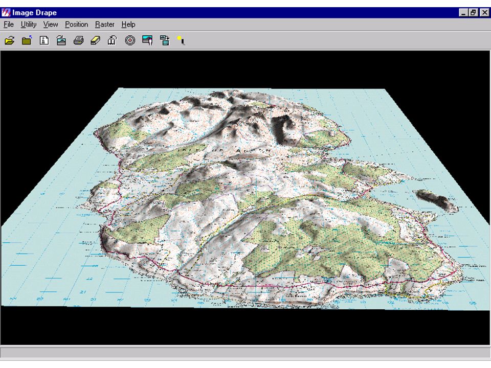
Introduction Two case studies: Level 1 fieldtrip to Arran –First introduction to GIS Level 3 fieldtrip to Snowdonia –After completing GIS/Remote Sensing module

7
Benefits of using GIS at Level 1 Initial orientation & familiarisation with field area day-by-day record of field sites overview of how sites relate to each other appreciation of topography & sense of scale interpretation of contours & gradients appreciation of software & GIS concepts for future use

8
Level 3 - Spatial modelling Hypothesis: glacier formation is more likely on high-elevation, north-facing slopes Input data: Digital Elevation Model (DEM) of Snowdonia Calculate all grid cells with northerly orientation and > 600 m.a.s.l. Overlay results on satellite image

10
Web resources: Digimap (to download OS map & DEM data): http://digimap.edina.ac.uk Landmap (satellite image coverage of the UK): http://www.landmap.ac.uk ERDAS Imagine (Image processing software): http://www.erdas.co.uk CHEST (university licensing for all of the above): http://www.chest.ac.uk National Remote Sensing Centre (purchase of satellite images): http://www.nrsc.co.uk
: Landmap (satellite image coverage of the UK): ERDAS Imagine (Image processing software): CHEST (university licensing for all of the above): National Remote Sensing Centre (purchase of satellite images):")
Similar presentations


 CMCZM – University of Aberdeen CEFAS Lowestoft – 14 th December 2009.>")


; Proximity (raster) 5.Filtering.>")


