Download presentation
Presentation is loading. Please wait.

2
What is Geography?

3
*Geography is the study of the natural features of the earth's surface, including topography, climate, soil, vegetation, etc, and human's response to them.

4
*Geography combines the physical and human aspects of our world into one field of study. *Geography shows the relationship between people and the environment. * Historical information is not presented only in written sources. * Maps are often a key to understanding what happened and why.

5
What is a Geographer? * A Geographer is someone who studies geography, specifically the Earth's natural environment and human society

6
What is a Geographer? Geographers study: Oceans Plant life Landforms
People How the Earth and its people affect each other

7
The Five Themes of Geography
* When geographers research, they are guided by two basic questions: Where are things located? Why are they there? * There are five broad themes geographers use to study the Earth and its inhabitants. To find these answers, geographers use the five themes of geography to organize information.

8
The Five Themes of Geography

9
The Five Themes of Geography
Location Place Movement Region Human-Environment Interaction

10
Location Location – Geographers begin to study a place by finding where it is, or its location. The Exact Location of a country or city is expressed in terms of longitude and latitude. Relative Location defines where a place is in relation to other places. *For example, the exact location of the city of Chicago, Illinois, is 42⁰ north (latitude) and 88⁰ west (longitude). *Its relative location could be described as "on the shore of Lake Michigan" or "821 miles north of New Orleans.
 and 88⁰ west (longitude). *Its relative location could be described as on the shore of Lake Michigan or 821 miles north of New Orleans.")
11
Place Place – Geographers study the physical and human features of a location. Location answers the question, "Where is it?" Place answers the question, "What is it like there?" You can identify a place by such features as its landforms, its climate, its plants and animals, or the people who live there. Much of the history of the southeastern United States was shaped by the fact that it had a mild climate and fertile land suitable for large-scale farming of crops such as tobacco.

12
Regions Regions – are areas that share common features.
Regions may be defined by geography or culture. For example, New York is one of the Middle Atlantic states because it is located on the Atlantic Ocean. In colonial days, it was one of the Middle Colonies. And in the early 1800s, New York was one of the "free states" because slavery was banned there.

13
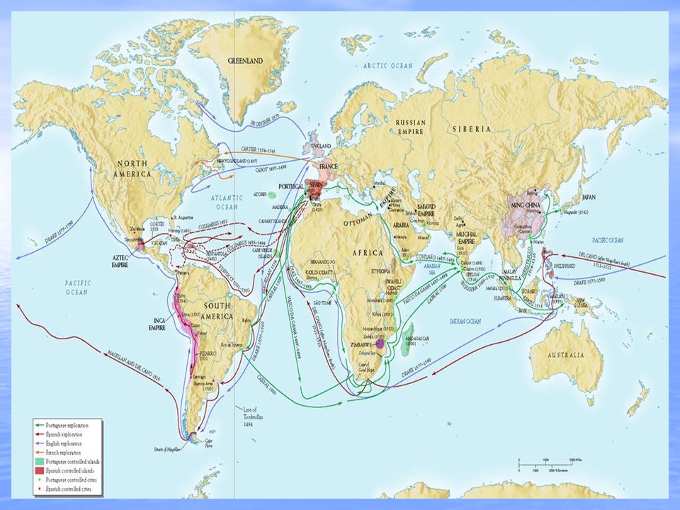
Movement Movement – Helps explain how people, goods, and ideas get from one place to another. Much of history has to do with the movement of people, goods, and ideas from place to place. One example of movement in American history is anthropologists theory that Asian hunters emigrated across a land bridge from Asia to the Americas. A further example of the geographic theme of movement in America is the movement of immigrants from other countries to the United States.

14
Human-Environment Interaction
Human-environment interaction has two parts: The first part has to do with the way an environment affects people. For example, people in the desert of the American Southwest developed very different ways of life from those living in the rich farmlands of California. The second part of interaction concerns the way people affect their environment. People mined silver in Nevada and Harnessed the power of falling water in North Carolina. In each case they changed their environment.

15
The Geographer’s Tools
Globes and Maps: *During the Age of Discovery (Exploration) explorers explored the Earth. *Explorers recorded the information they discovered. *Mapmakers wanted to present this information correctly. *The best way was to put it on a globe, a round ball that represented the Earth.
 explorers explored the Earth. *Explorers recorded the information they discovered. *Mapmakers wanted to present this information correctly. *The best way was to put it on a globe, a round ball that represented the Earth.")
17
The Geographer’s Tools
The most accurate way to present information on the islands, continents, and bodies of water of the world is to put it all on a globe, a round ball like the Earth itself. The only difference between a globe and the Earth itself is the scale, or size, represented on the globe. Globes have a disadvantage: They cannot be complete enough to be useful and at the same time be small enough to be convenient. Therefore, people invented flat maps.

18
Globe

19
How Latitude and Longitude Form the Global Grid

20
The Hemispheres

21
The Geographer’s Tools
Globes are not practical or easy to carry, therefore flat maps were invented. However, this presented a problem, because the earth is round and a map is flat. Mapmakers had to find ways to make maps accurate.

22
Maps

23
The Geographer’s Tools
Maps try to show the Earth, which is round, on a flat surface. This causes distortion, or a change in accuracy of the shapes and distances of places. It is impossible to show the Earth on a flat surface without some distortion.

24
Parts of a Map Compass Rose A compass rose is a model of a compass.
It tells the cardinal directions, which are North, South, East, and West.

25
Parts of a Map Scale The scale on a map tells you the relative distance on the map to the real world. For example, a map’s scale may tell you that one inch on the map equals one mile in the real world.

26
Parts of a Map Key The key, or legend, on a map explains what the symbols on a map represent, such as triangles representing trees.

27
Parts of a Map Grids Some maps use a grid of parallels and meridians. On a map of a small area, letters and numbers are often used to help you find your location.

28
Getting It All On the Map: Map Projections
In 1569, a geographer named Gerardus Mercator created a flat map to help sailors navigate long journeys across the globe. The Mercator projection is a map projection placing a map of the Earth onto a flat piece of paper. The Mercator projection is a conformal map, meaning that it shows correct shapes, but not true distances or sizes. There are many types of other projections of the globe. The World: Mercator Projection

29
The World: Robinson Projection

30
Robinson Projection First used in 1963, the Robinson is a compromise projection. Because it presents a reasonable overall picture of the world, it is often used for educational materials.

31
Types of Maps: Physical Maps
Physical maps show the major physical features of a region, such as seas, rivers, and mountains. The larger the scale of a physical map the more detail it can show.

32
Types of Maps: Political Maps
Political maps show political divisions, such as borders between countries or states. Political maps also show the location of cities.

33
Types of Maps: Thematic Maps
A thematic map focuses on a single subject or theme. They are different from general reference maps because they do not just show natural features like rivers, cities, political subdivisions and highways. If these items are on a thematic map, they are simply used as reference points to enhance the understanding of the map's theme and purpose.

Similar presentations