Download presentation
Presentation is loading. Please wait.

1
Geography of Vietnam

2
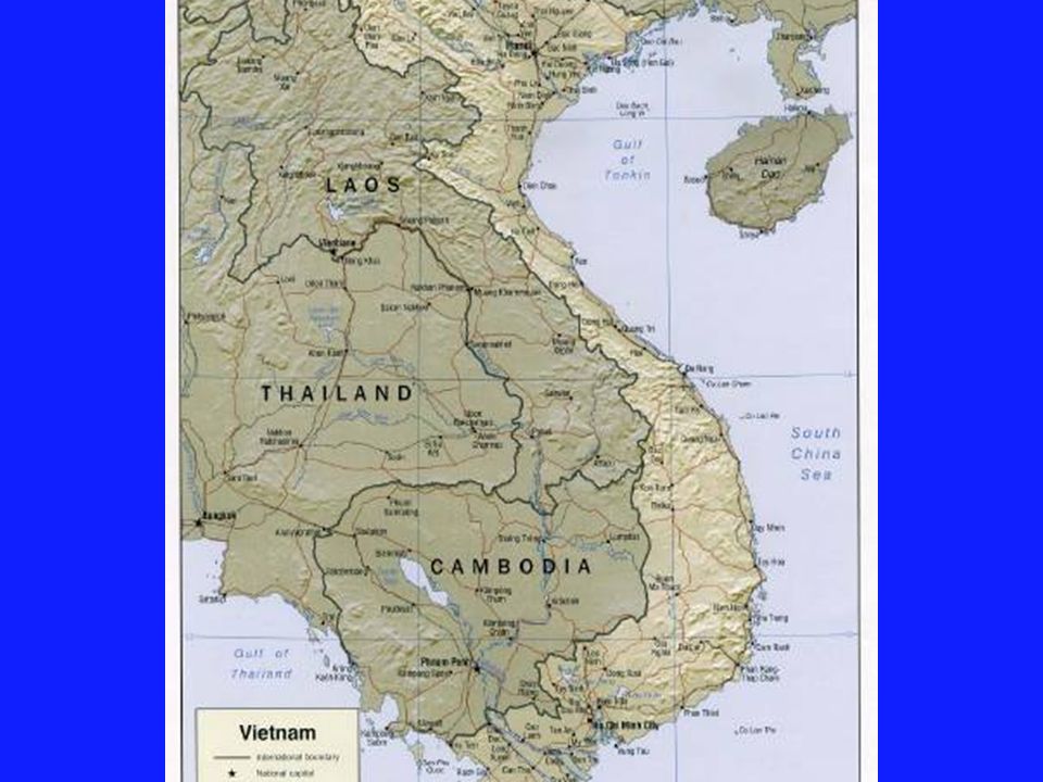
Vietnam is part of Southeast Asia which includes Vietnam, Laos, Cambodia, Thailand,Myanmar,Indonesia, Malaysia, Philippines, Singapore, and East Timor. Vietnam has a population of 84 million and a land mass the size of New Mexico. The lowland areas have a homogeneous population. 80% of the people are Kinh. 85% of the people live in lowland areas.

4
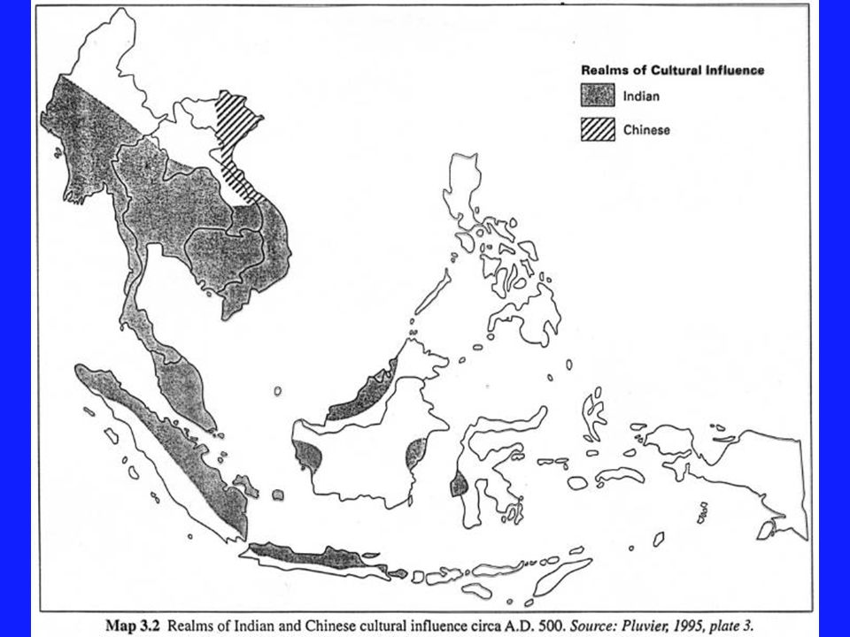
The area we know today as Vietnam was influenced by two other great cultures. Northern Vietnam was influenced by Chinese culture and religions while southern Vietnam was influenced by Indian culture and religion.

7
This area was colonized by the French during the nineteenth century. Modern Laos, Cambodia and Vietnam were all made colonial possessions of the French. The area was divided into regions to make it easier to govern.

12
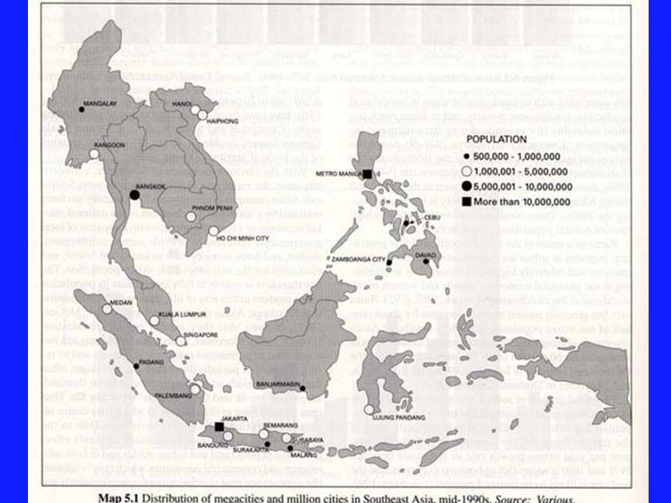
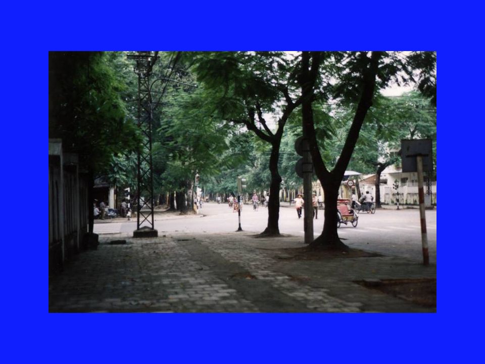
This modern population map shows the populations of this entire area. Vietnam has areas of large population but no mega cities. Hanoi in northern Vietnam and Ho Chi Minh City in southern Vietnam are very large urban centers. But neither city is as large as the mega cities found in China.

22
A mountainous view from the Central Highlands of Vietnam. This is where many minorities live so there is great diversity of languages spoken as well as much greater poverty. The people are seen as less sophisticated because they do not grow rice. They have been marginalized economically as a result.

24
Vietnams geography has a profound impact on the wealth of provinces within this nation. The richer areas tend to be in the south while the Central Highlands tend to be much poorer. There is also significant poverty in the north near the Chinese border.

26
Vietnam has been compared to a shoulder pole. The southern and northern rice growing areas represent two rice bowls connected by a skinny shoulder pole. The Central Highlands are that skinny shoulder pole. They have poorer soil here and often used slash and burn methods of farming. This has been discouraged by the government.

29
Slash and burn agriculture or swidden

31
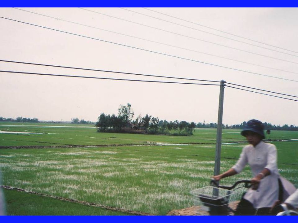
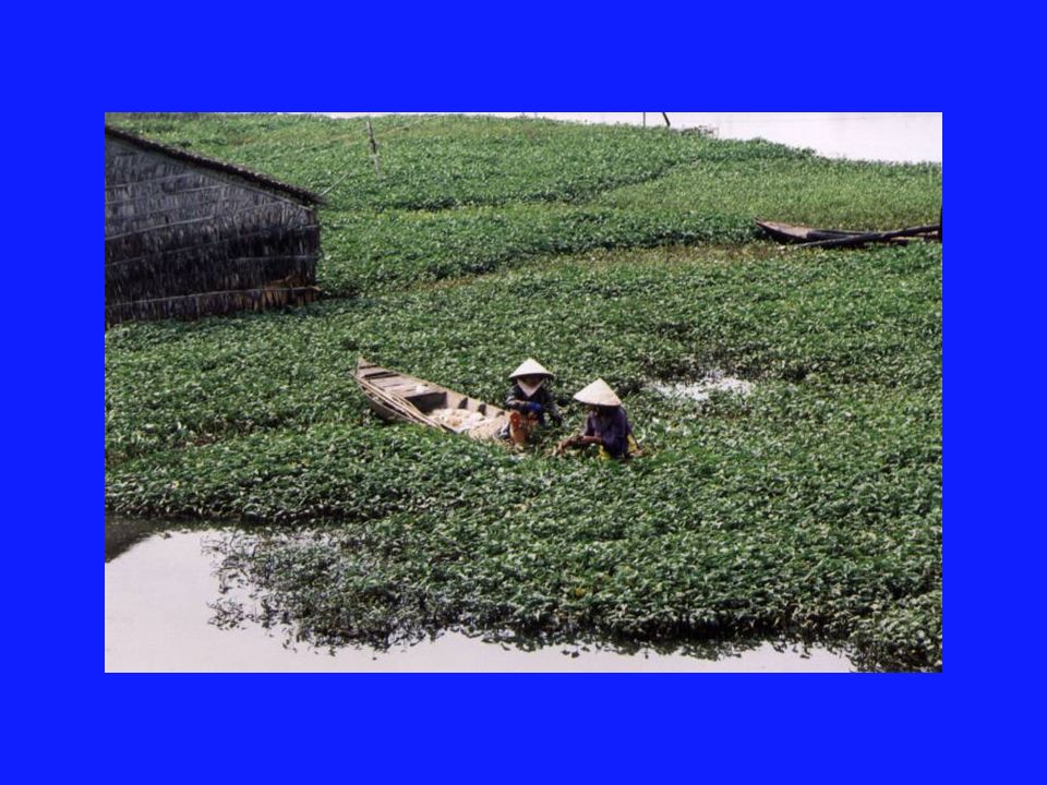
Wet rice cultivation

34
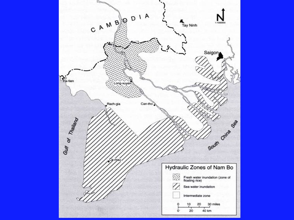
Vietnamese view water as white while the Chinese see water as black. The rivers in SE Asia flow north to south. The largest population density is found in the Red river delta in the north near Hanoi and the Mekong river delta in the south.

36
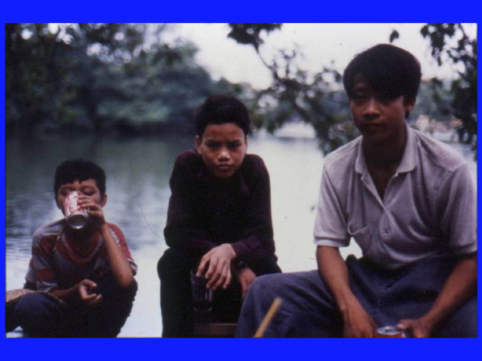
Vietnam has seasonal monsoons which have impacted the ability to trade. In the past, merchants could only travel when the winds could carry them. Many merchants had 2 families. One in their trading port and one in their home port. When the husband was away, often the woman ran the business. Vietnamese women have always been involved in trade and business.

38
Notice the types and amounts of forest lands in this 1970 map of vegetation.

40
By contrast, notice the vegetation patterns in the 1990 version.

42
Most of our students know at least a little about the war in Vietnam. It would be interesting to ask them why they think these two maps show such differences in vegetation.

43
Between 1968 and 1972 there were 19,000 flights spraying defoliants across Vietnam. Most mangroves were destroyed. The US dropped 44 million liters of Agent Orange in Vietnam.

44
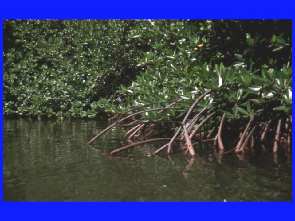
Mangrove swamps are extremely important to southern Vietnam because they have anchored the soil and prevented erosion. Many of the mangroves have been killed, leaving the coastal areas more vulnerable to erosion. This impact was seen clearly in the Tsunami which hit Thailand. The mangroves could have helped protect some coastal areas.

46
Spraying a defoliant across Vietnam during the war. Second photo shows its impact in an area.

58
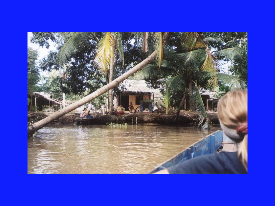
This next slide shows the Mekong river delta in southern Vietnam. The Mekong is fed by waters from the Himalayas and during the spring it receives so much water that it actually reverses course and flows backwards. This creates the Ton Le Sap Lake in Cambodia for about 4 months a year.

60
A current concern in Vietnam is over the building of several dams on the Mekong river inside China. There are three under construction and more are planned. This could have a major impact if they slow the amount of water which reaches Vietnam and Cambodia.

72
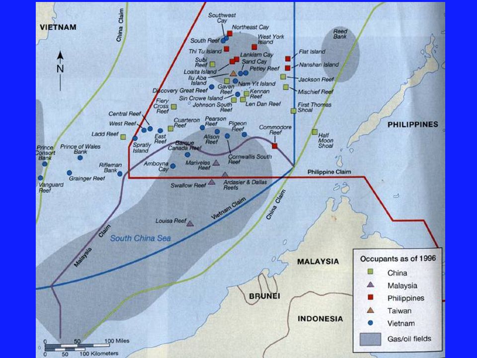
A new area of concern is the small off shore areas which contain oil/ natural gas. Several nations have begun to claim areas and this could lead to future conflict in the region.

Similar presentations


 and answer. Please have planner on table for me to sign. 1.What is the capital of Thailand? 2.Which.>")


, Thailand, Cambodia, Vietnam, and Laos Laos is landlocked (surrounded.>")


. SE ASIA GEOGRAPHY Group of islands: archipelago System of parallel mountain ranges: cordillera Island: insular.>")
