Download presentation
Presentation is loading. Please wait.

1
The Aerosol Cloud Ecosystem Mission was recommended by the 2007 NRC decadal survey. ACE is presently in pre-formulation and will be realized in some form in the early to mid ’20s. ACE is a response to the 1)The extreme sensitivity of the climate system to hydrological processes especially clouds and precipitation 2)The difficulty of climate and smaller scale models to accurately represent those processes 1)These processes are the transitional phases between clouds and precipitation. 3)ACE is a response to the successful A-Train and GPM missions that showed how multiple instrument synergy could contribute to our understanding. 1)The Radar Definition Experiment (RADEX) is designed to assist in defining the characteristics of the ACE payload by collecting remote sensing and in situ data from which the mission requirements can be defined.
The extreme sensitivity of the climate system to hydrological processes especially clouds and precipitation 2)The difficulty of climate and smaller scale models to accurately represent those processes 1)These processes are the transitional phases between clouds and precipitation. 3)ACE is a response to the successful A-Train and GPM missions that showed how multiple instrument synergy could contribute to our understanding. 1)The Radar Definition Experiment (RADEX) is designed to assist in defining the characteristics of the ACE payload by collecting remote sensing and in situ data from which the mission requirements can be defined..")
2
ACE Goals and Plans for OLYMPEX/RADEX Goals Collect datasets suitable for retrieval case studies – target transitional processes where clouds produce precipitation o Exploit Multi-instrument synergy o Cloud vertical motion with cloud and precipitation μphysics o Study Tradeoffs between Instrument requirements and retrieval uncertainty Resources o ER2 - 54 Science hours (~8 flights @ 2 flights per week) o 15 additional Citation hours o Begin ops ~1 week after olympex start o End ops ~1 week prior to olympex end Primary Targets: (more details on Thursday) Marine shallow convection with light precipitation (post-frontal) o Focus: Spatial inhomogeneity and mixed-phase Mixed phase process (riming, aggregation, ice production) and precipitation (in off-shore narrow-band cold/occluded fronts) o Focus: embedded/intense convection within the front o Focus: impact of radar attenuation and multiple scattering on retrievals Light precipitation and virga in prefrontal/warm sector clouds
 o 15 additional Citation hours o Begin ops ~1 week after olympex start o End ops ~1 week prior to olympex end Primary Targets: (more details on Thursday) Marine shallow convection with light precipitation (post-frontal) o Focus: Spatial inhomogeneity and mixed-phase Mixed phase process (riming, aggregation, ice production) and precipitation (in off-shore narrow-band cold/occluded fronts) o Focus: embedded/intense convection within the front o Focus: impact of radar attenuation and multiple scattering on retrievals Light precipitation and virga in prefrontal/warm sector clouds")
3
eMAS VIS-IR imager (not hyperspectral) eMAS VIS-IR imager (not hyperspectral) 1.EXRAD (X-band radar) 2.AirMSPI (VIS-SWIR multiangle imaginging polarimeter) 1.EXRAD (X-band radar) 2.AirMSPI (VIS-SWIR multiangle imaginging polarimeter) nose superpod Q-bay superpod, (unpressurized aft) CPL Lidar Backscatter CPL Lidar Backscatter GMI CRS W-band radar CRS W-band radar HIWRAP Ka/Ku- band radar HIWRAP Ka/Ku- band radar AMPR Passive Microwave ~ 10-85 GHz AMPR Passive Microwave ~ 10-85 GHz ER-2 Payload for RADEX - OLYMPEX
 eMAS VIS-IR imager (not hyperspectral) 1.EXRAD (X-band radar) 2.AirMSPI (VIS-SWIR multiangle imaginging polarimeter) 1.EXRAD (X-band radar) 2.AirMSPI (VIS-SWIR multiangle imaginging polarimeter) nose superpod Q-bay superpod, (unpressurized aft) CPL Lidar Backscatter CPL Lidar Backscatter GMI CRS W-band radar CRS W-band radar HIWRAP Ka/Ku- band radar HIWRAP Ka/Ku- band radar AMPR Passive Microwave ~ GHz AMPR Passive Microwave ~ GHz ER-2 Payload for RADEX - OLYMPEX")
4
Suggested discussion topics / issues (For discussion on Thursday) Flight plan elements/details, of course. Night flights ? ACE/RADEX would like VIS/NIR data from the pre- and post-frontal flights daytime flight. Are night flights for frontal conditions an option ? If yes, what are safety and logistical considerations ? ER-2 will have two pilots. This allows back-to-back flight days (subject to sufficient down time for the ground crews). back-to-back-to-back is problematic (?). Is this an issue for pre-frontal, frontal, post-frontal sequences ? Citation Payload options.
. back-to-back-to-back is problematic ( ). Is this an issue for pre-frontal, frontal, post-frontal sequences . Citation Payload options..")
5
ACE/RADEX Objectives Flight Objectives: Primarily interested in maritime clouds/systems (ease of interpreting passive microwave, VIS, and IR data). Maximize overlap of all three aircraft when Citation is on station. Desired 2+ hours of in situ / Citation data on each flight. Multiple repeated lines/stacked racetracks in order to provide good sampling at fixed-levels (rather than spirals/ramp). Citation Altitudes: Broadly, (1) Lowest-safe-level to characterize “surface” precip, (2) mixed-phase region, (3) just-above mixed-phase, and (4) Cloud top and/or cold ice-only. Emphasis varies with target. Different objectives/patterns for: 1.pre-frontal (~ 1 day ahead), 2.frontal 3.post-frontal (~ 1 day behind) … each discussed on following slides.
. Citation Altitudes: Broadly, (1) Lowest-safe-level to characterize surface precip, (2) mixed-phase region, (3) just-above mixed-phase, and (4) Cloud top and/or cold ice-only. Emphasis varies with target. Different objectives/patterns for: 1.pre-frontal (~ 1 day ahead), 2.frontal 3.post-frontal (~ 1 day behind) … each discussed on following slides..")
6
Post-Frontal Focus: shallow convection with light precipitation or virga. Citation: Short (20 km), stacked- legs with focus on cloud-top, mid-cloud (freezing level?) μphysics, and below cloud-base precip. Goal: 2+ hours on station with repeated stacks. ER2 DC8 Citation ER-2 and DC-8: Race tracks with 60 to 100 km straight leg sections oriented along the mean cloud (mid-level) flow. If available polarimeter/AirMSPI should be flown on ER-2 (with at least one ER-2 near the solar plane). Desired: additional time (2 hours?) on station before or after citation to collect additional Z/Vd statistics Notes: Single layer clouds (i.e. no cirrus) are required. ACE goals include investigating the effect of spatial inhomogeneity on retrievals in weak convective updrafts, especially as pertains to radar Doppler accuracy and FOV needed to estimate vertical mass fluxes. ACE goal also include testing ability of retrievals to simultaneously obtain IWP vs. LWP and Rain vs. Snow rate when mixed-phase cloud is possible (and perhaps even likely).
, stacked- legs with focus on cloud-top, mid-cloud (freezing level ) μphysics, and below cloud-base precip. Goal: 2+ hours on station with repeated stacks. ER2 DC8 Citation ER-2 and DC-8: Race tracks with 60 to 100 km straight leg sections oriented along the mean cloud (mid-level) flow. If available polarimeter/AirMSPI should be flown on ER-2 (with at least one ER-2 near the solar plane). Desired: additional time (2 hours ) on station before or after citation to collect additional Z/Vd statistics Notes: Single layer clouds (i.e. no cirrus) are required. ACE goals include investigating the effect of spatial inhomogeneity on retrievals in weak convective updrafts, especially as pertains to radar Doppler accuracy and FOV needed to estimate vertical mass fluxes. ACE goal also include testing ability of retrievals to simultaneously obtain IWP vs. LWP and Rain vs. Snow rate when mixed-phase cloud is possible (and perhaps even likely)..")
7
Off-Shore Frontal Bands Focus: Mixed phase process (riming, aggregation, new ice production) and precipitation ER-2 and DC-8: Race tracks along the frontal boundary with 100 to 120 km straight leg sections (perhaps 30 km apart). Depending on speed of the front, race tracks may be fixed (capturing the frontal passage) or drift with the front. Citation: Short stacked-legs with focus on near- surface precipitation and the mixed-phase region. However, some observations of the ice- only region (that includes crystal habit) are needed (i.e. observations at / below -30 o C). Notes: Primary objective is evaluating the impact of embedded/intense convection within the front including impact of radar attenuation and multiple scattering on retrievals. Increased need for ice-only microphysics in trailing stratiform region. 11/17/2012
 or drift with the front. Citation: Short stacked-legs with focus on near- surface precipitation and the mixed-phase region. However, some observations of the ice- only region (that includes crystal habit) are needed (i.e. observations at / below -30 o C). Notes: Primary objective is evaluating the impact of embedded/intense convection within the front including impact of radar attenuation and multiple scattering on retrievals. Increased need for ice-only microphysics in trailing stratiform region. 11/17/2012.")
8
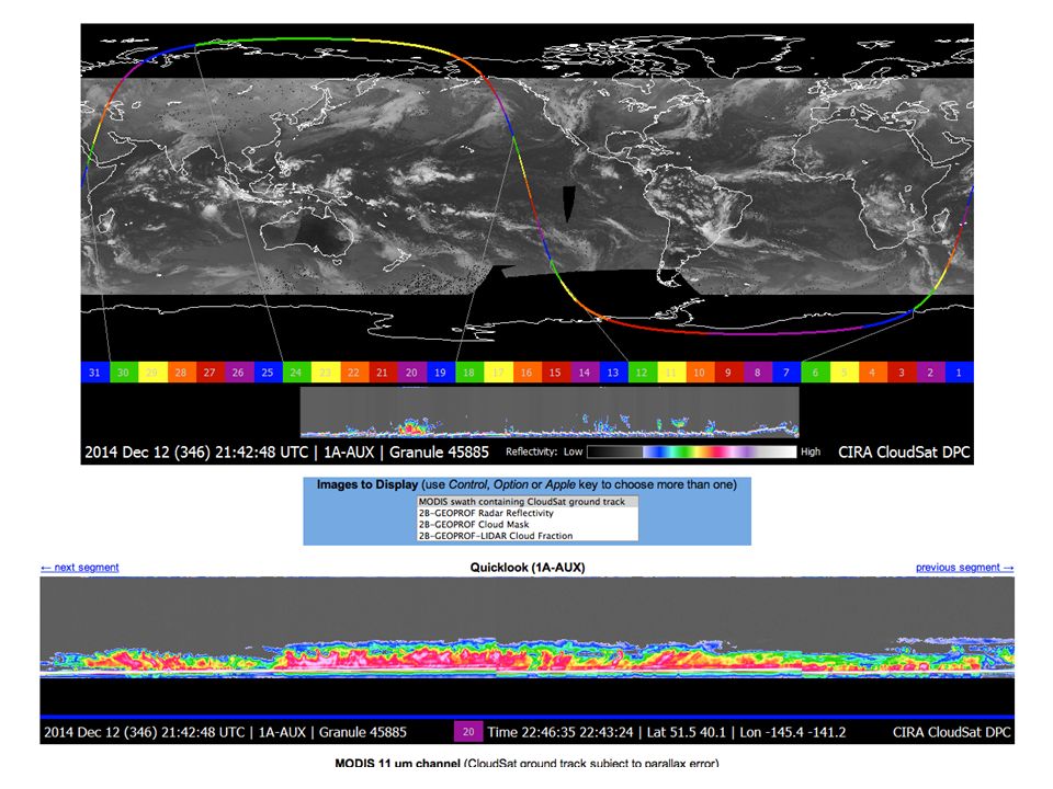
Pre-Frontal / Warm Sector Focus: light precipitation and virga in prefrontal/warm sector clouds (low or mid-level clouds). Background: Observations from CloudSat/CALIPSO show that low and mid-level cloudiness is common in the warm sector and this cloudiness is associated with light rain rates (less than 1 mmhr - 1 ). Cirrus clouds are also common and the presence of cirrus represents a significant challenge for low and mid-level cloud retrievals. Primary ACE Objective: Evaluate combined Radar + Vis/NIR + Microwave retrievals of cloud and precipitation microphysics from low-level clouds. ER-2 and DC-8: Similar to post-frontal clouds, including AirMSPI. Citation emphasis: Short (20 km), stacked-legs. Focus on cloud-top μphysics and below cloud precipitation and virga. Cirrus ice clouds should also be sampled if present with goal of identifying predominate crystal habits and the range of IWC present. Naud, 2012
. Cirrus clouds are also common and the presence of cirrus represents a significant challenge for low and mid-level cloud retrievals. Primary ACE Objective: Evaluate combined Radar + Vis/NIR + Microwave retrievals of cloud and precipitation microphysics from low-level clouds. ER-2 and DC-8: Similar to post-frontal clouds, including AirMSPI. Citation emphasis: Short (20 km), stacked-legs. Focus on cloud-top μphysics and below cloud precipitation and virga. Cirrus ice clouds should also be sampled if present with goal of identifying predominate crystal habits and the range of IWC present. Naud,")
Similar presentations


. Why TRMM? n Tropical Rainfall Measuring Mission (TRMM) is a joint US-Japan study initiated in 1997 to study.>")


 –Met.>")


