Download presentation
Presentation is loading. Please wait.

1
U.S. Integrated Ocean Observing System (IOOS) Enabling decision making every day; Fostering advances in science and technology
 Enabling decision making every day; Fostering advances in science and technology.")
2
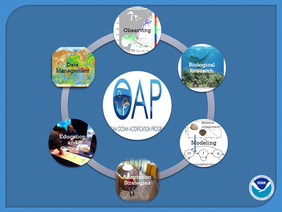
U.S. IOOS: Program Overview 2 Enables decision making and science WHO: WHY: 7 Societal Goals, 1 System Predictions of climate change and weather Safety and efficiency of maritime operations Forecasts of natural hazards Improve homeland security Minimize public health risks Protect and restore healthy coastal ecosystems Sustain living marine resources WHAT: –Observation –Data Management –Modeling & Analysis –Research & Development –Education –Management & Governance WHERE: Global Coastal (EEZ to head of tide)
.")
3
87% Total in situ networks61% 59% 81% 62% 73% 34%48% 100% Global Component: Global Ocean Observing System for Climate 3 NOAA/OAR/CPC/COD

4
Observing Systems Eyes on the Oceans, Coasts and Great Lakes U.S. Integrated Ocean Observing System (IOOS)
.")
5
Exposing Ocean Information 5

6
National Science Foundation – Ocean Observatories Initiative 6

7
Stakeholders Operated by 30 institutions under IOOS Who Depends on it USCG Search and Rescue Oil spill response Water quality Criminal forensics Commercial marine navigation Offshore energy Harmful algal bloom warnings Marine fisheries Emerging - Maritime Domain Awareness Emerging - Tsunami prediction U.S. IOOS - High Frequency Radar Network 7 Search area decreased 66% in 96 hours

8
Global HF Radar Network 35 Countries with HF Radar for oceanographic purposes

9
High Frequency Radar Network (HFRNet) Global Partnerships Continental U.S.A. Australia South Korea Canada Puerto Rico and U.S. Virgin Is. Hawaiian Is. Spain Mexico

10
Glider Missions 10 Climate/Ecosystem/Fisheries Management/Water Quality Hurricane Forecasting Response to Oil Spill The SoCal Niño Index CalCOFI Fish Tracking HAB Deep Water HorizonAlaska

11
US IOOS - Gliderpalooza 15 gliders 15 Partners: –Ocean Tracking Network, Canada; –9 U.S. Universities –Teledyne Webb Research Corporation –State Agency –National: IOOS, NOAA, US Navy and NASA >25,000 profiles to date – NOAA’s Buoy Center sent data to the Global Telecommunications Systems (GTS)
.")
12
U.S. National Profiling Glider Network 12 V2 out soon Profiling Gliders deployed!

14
+ + Oysters on the Half Shell Little wild set of oysters on US northwest 2008 Whiskey Creek Hatchery lost 100% of oyster larvae Ocean Acidification was the cause Real-time Observing System established By 2010 productivity was back to 70%

15
A Clear View of Tomorrow Education and Outreach – Ocean Literacy U.S. Integrated Ocean Observing System (IOOS) Graduate and Undergraduate students are integrated – good for IOOS now and good for industry for future employees Teaching the next generation – Puerto Rico Weather Camp 2012 23
 Graduate and Undergraduate students are integrated – good for IOOS now and good for industry for future employees Teaching the next generation – Puerto Rico Weather Camp")
16
Thank You Please Visit the U.S. IOOS Website ioos.noaa.gov

Similar presentations


 Hendrik L. Tolman on behalf of the US IOOS Program Office Improve safetyEnhance our economyProtect our.>")


 A Regional Observing System within the Integrated Ocean Observing System Molly McCammon, Executive Director 1007 W.>")


 NOAA Assistant Administrator for.>")
 We need advanced tools to understand and monitor our oceans, coasts and Great Lakes.>")
 Zdenka Willis Director, US IOOS Program Office Improve safetyEnhance our economyProtect our environment.>")
