Download presentation
Presentation is loading. Please wait.

1
Discuss a scientific observation you made this weekend
Earth Science Chapter 2 Bellwork 9-3 Discuss a scientific observation you made this weekend

2
Key concepts 1. Meaning of topography 2. Main types of landforms

3
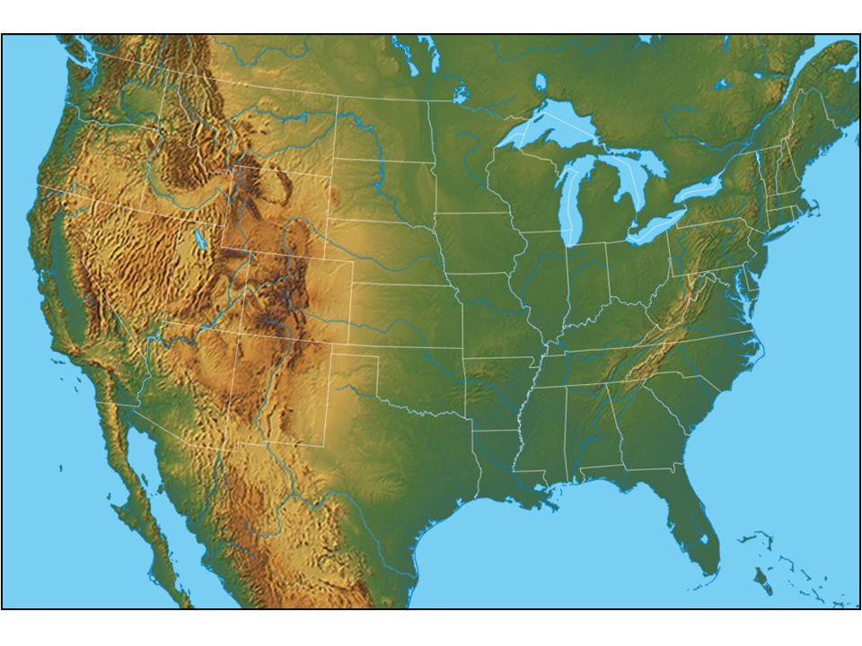
Topography The shape of the land which includes the area’s elevation, relief, and landforms

4
Topography Elevation Relief Landforms

5
Elevation Elevation: The height above sea level of a point on Earth’s surface What was Lewis and Clark’s elevation when they began their journey? At the greatest height of their journey?

6
Relief Relief: The difference in elevation between the highest and lowest parts of an area What is the relief between the beginning of the expedition and the highest point of the expedition?

7
Landforms Landform: a feature of topography, such as a hill or valley, formed by the processes that shape Earth’s surface. What were some of the landforms Lewis and Clark encountered?

8
Journal Entry Pretend that you are Captain Lewis, Clark, or Sacagawea.
Write a journal entry on the day that you reached the Pacific Ocean. Discuss the terms we have covered in your entry when you describe the amazing “topography” you have encountered on your journey.

9
Bellwork Why do you think maps are important?

11
Development of the Earth Model
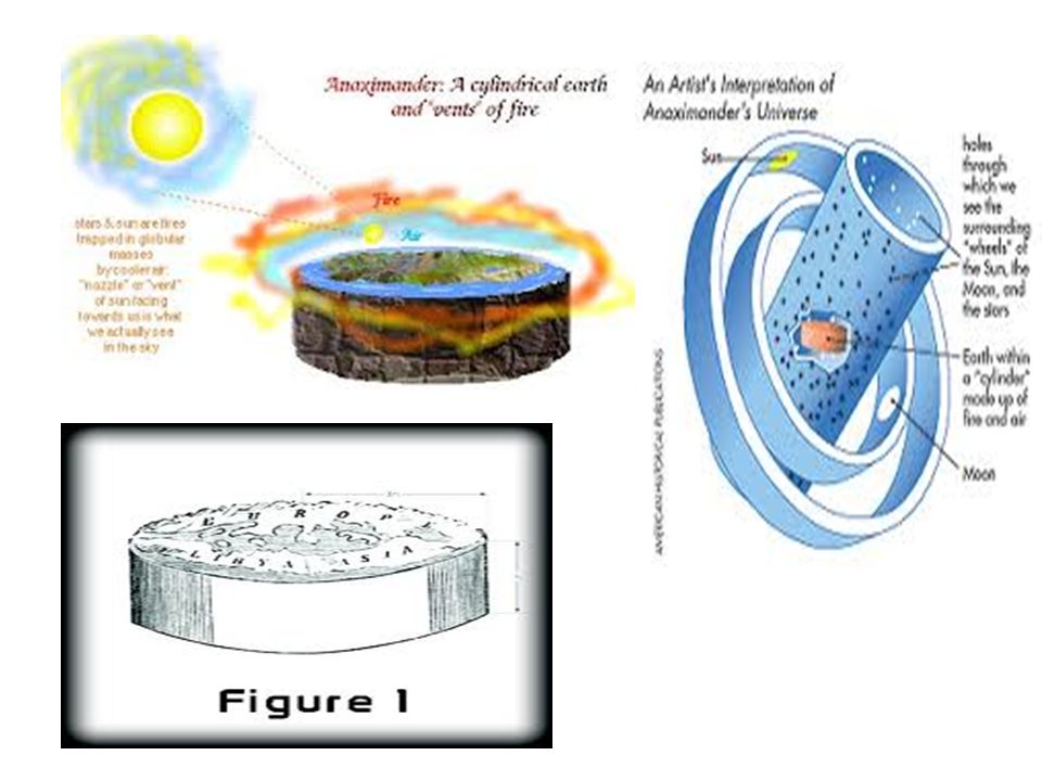
600 B.C. Greek Scientist Thales of Miletus thought the Earth was a disk in a pool of water

13
Another Greek scientist Anaximander thought the Earth was a cylinder floating in space and we were living on the top flat part!

15
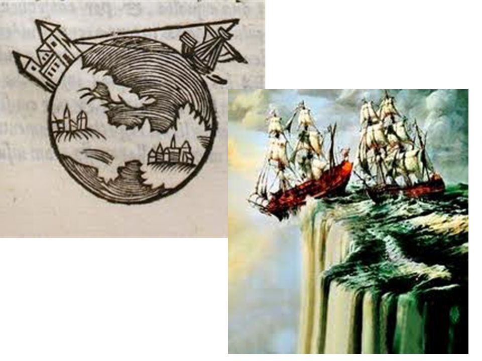
Ships dipping below horizon
Aristotle 350 B.C. Greek scientist Aristotle used everyday observations to support a spherical Earth Theory Ships dipping below horizon

17
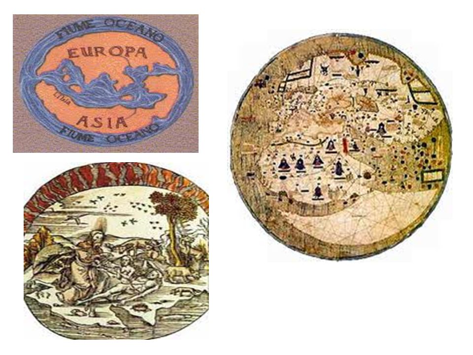
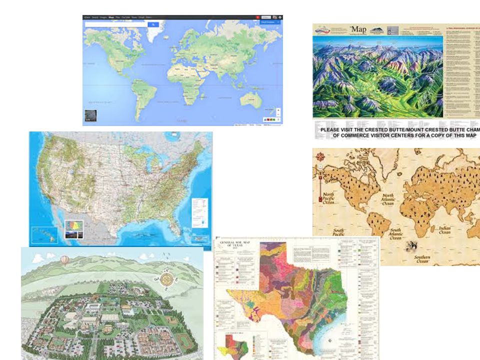
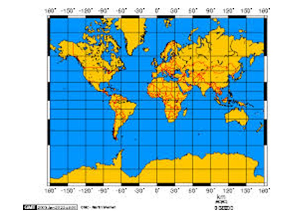
Map: a flat model of all or part of Earth’s surface
Maps and Globes Map: a flat model of all or part of Earth’s surface

19
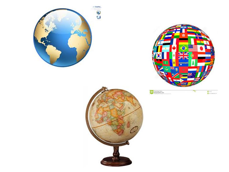
Globe: a sphere that represents Earth’s entire surface

21
Maps and Globes Maps and globes are drawn to scale and use symbols to represent topography and other features on Earth’s surface.

22
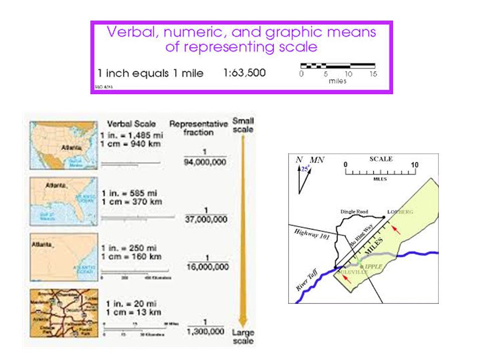
Scale Scale relates to the distance on a map to a distance on Earth’s surface.

24
What is the difference between a map and a globe?
Bellwork What is the difference between a map and a globe?

25
Symbols: Pictures that stand for features on Earth’s suface

26
Map Symbols

27
Key/Legend Key or Legend: A list of all the symbols used on a map and their meaning

28
North is usually located at the top of a map
A compass helps relate the locations on the map to the Earth’s surface

29
Compass

30
Earth Reference System
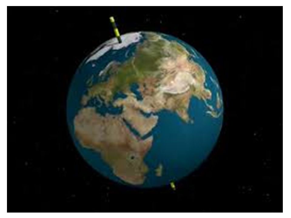
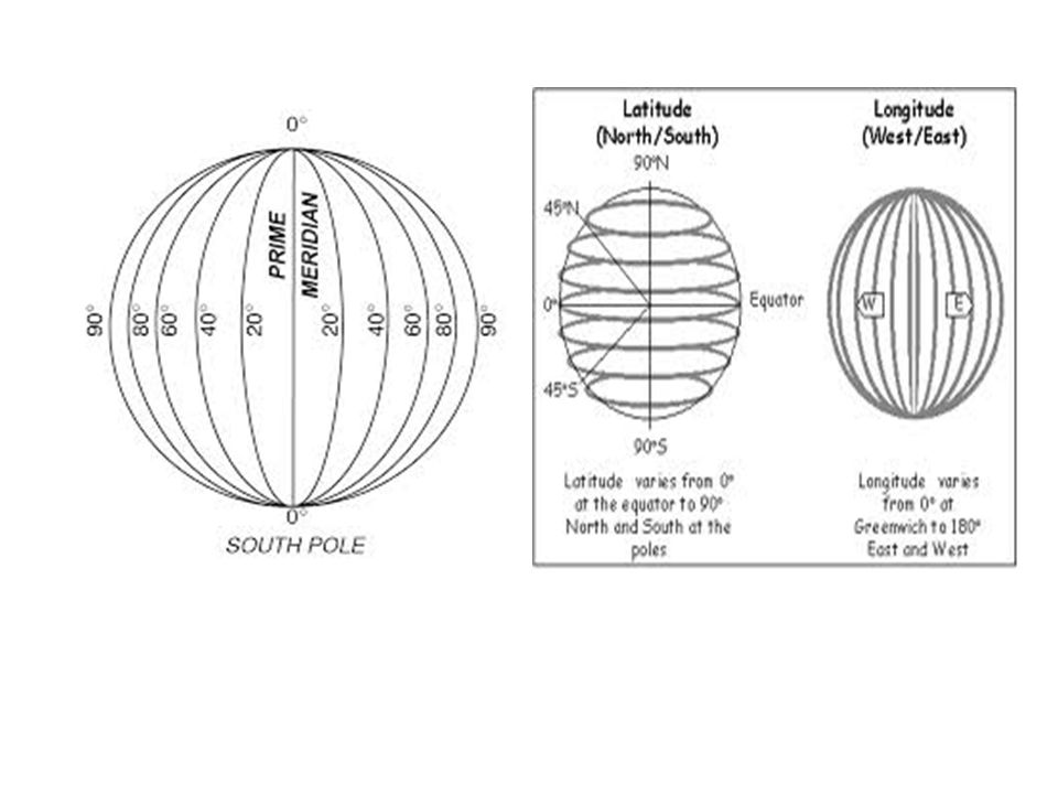
Globes & maps use a grid to help measure and reference points on Earth’s surface Two of these lines are the equator and the prime meridian

31
Equator & Prime Meridian

32
Equator: imaginary line halfway between the North and South poles.
It divides the Earth into the Northern and Southern hemispheres

33
Equator

34
Prime Meridian Prime Meridian: Makes a half circle from the North Pole to the South Pole and passes through Greenwich, England

35
Prime Meridian

36
Degrees: A degree is 1/360 of the distance around a circle
Distances around the Earth are measured in degrees because the Earth is a sphere.

37
Degrees

38
Why do we measure distance around the globe in degrees?
Bellwork Why do we measure distance around the globe in degrees?

39
What is the purpose of latitude and longitude?
Bellwork What is the purpose of latitude and longitude?

40
Latitude and Longitude
The lines of latitude and longitude form a grid that can be used to find locations anywhere on Earth

41
Latitude: the distance in degrees north or south of the equator

42
Latitude

43
Latitude The equator is the starting point
Latitude of the equator is 0 There are 90 evenly spaced parallel lines between the equator and each pole. Between each line there are about 111 kilometers in distance

44
Longitude Longitude: The distance in degrees east or west if the prime meridian is called longitude.

46
How to find the coordinates

47
On your own Look at the map of the world on page 45 Find the coordinates of each city listed on the map. Look at the example on the globe on page 45 to see how to write the coordinates.

48
Bellwork Did you notice any pattern with the placement of the cities and the lines of latitude and longitude?

49
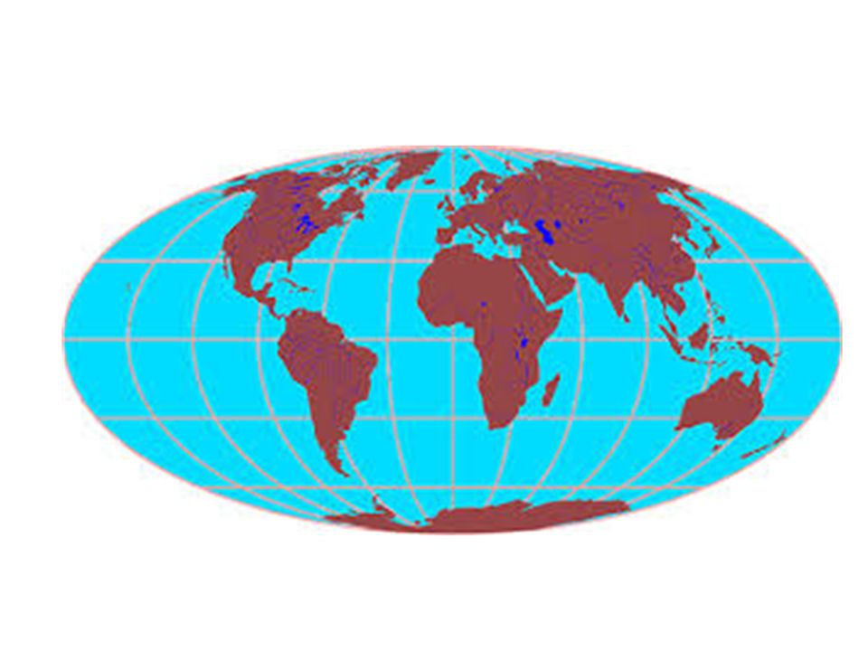
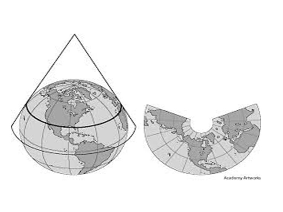
Map projection Map projection: A framework of lines that helps in transferring points on Earth’s three dimensional surface onto a flat map.

50
ON your own Read page 46-47 When you are finished I will give you instructions for the activity

51
Create a chart to show the three different types of map projections.
Make a chart Create a chart to show the three different types of map projections.

52
Example Map projections Mercator Explanation/Drawing Equal-Area Conic

53
With a partner complete the Skills Lab on Page 48
In class activity With a partner complete the Skills Lab on Page 48 First do the activity, then answer the questions 1-5

55
Discuss a scientific observation you have made recently.
Bellwork Discuss a scientific observation you have made recently.

57
Some distortion of landmasses Lines do not come together at the poles
Mercator Lines of latitude and longitude are straight and parallel, but do not make equal squares Some distortion of landmasses Lines do not come together at the poles

59
Only distortion is that landmasses near the edge look stretched
Equal-Area Correctly displays the size of landmasses by displaying a flattened, oval Earth Only distortion is that landmasses near the edge look stretched

61
Lines of longitude are straight, while lines of latitude are curved.
Conic Lines of longitude are straight, while lines of latitude are curved. Usually used to display parts of the Earth

63
Maps and computers http://www.youtube.com/watch?v=j5WmvTxQF5w
Look at Google Earth

64
Map History Maps drawn by hand Explorers sketching coastlines
Surveying Arial photos Computer Projections from satellites

65
Ancient maps

66
Survey Surveying: Mapmakers determine distances and elevations using instruments and the principles of geometry

67
Surveyor

68
Digitizing: map locations in number form
Computers and maps Physical data about the Earth is gathered and stored on a computer in digitized form Digitizing: map locations in number form

69
Computer Digitizing

70
Computers and Maps Computers produce maps using data from many sources, including satellites and the Global Positioning System

72
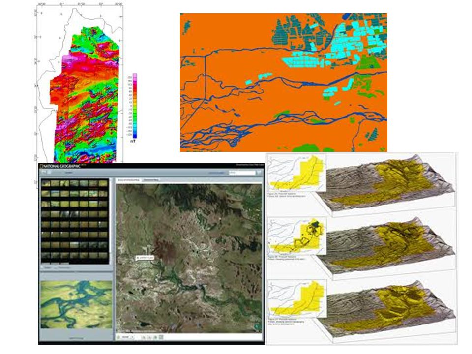
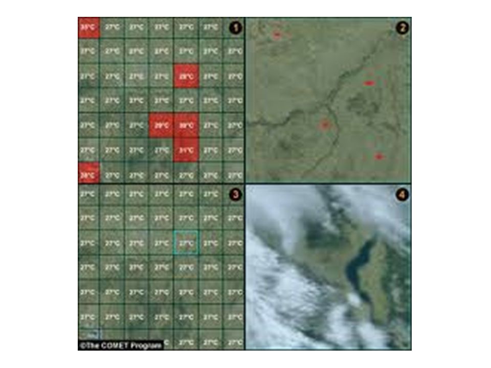
Satellites Satellite images: Satellites in space collect data about the Earth’s surface. Pictures based on these data are satellite images.

73
Pixels Pixel: tiny dot representing a part of Earth’s surface that contains info about the brightness and color of that part.
![]()
75
Satellites 1972, the US launched a series of Landsat satellites One of these will orbit the Earth, collect and store data about a strip of Earth, send the data to a station on Earth where it is used to create images

76
GPS GPS: (Global Positioning System) finds locations based on latitude, longitude, and elevation points on Earth’s surface through a network of satellites
 finds locations based on latitude, longitude, and elevation points on Earth’s surface through a network of satellites.")
77
Complete the section assessment

Similar presentations