Download presentation
Presentation is loading. Please wait.

1
JPEGS\gisdef.gif

2
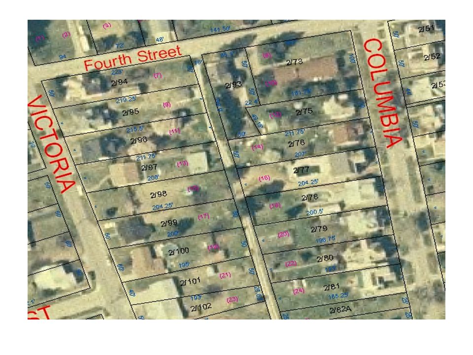
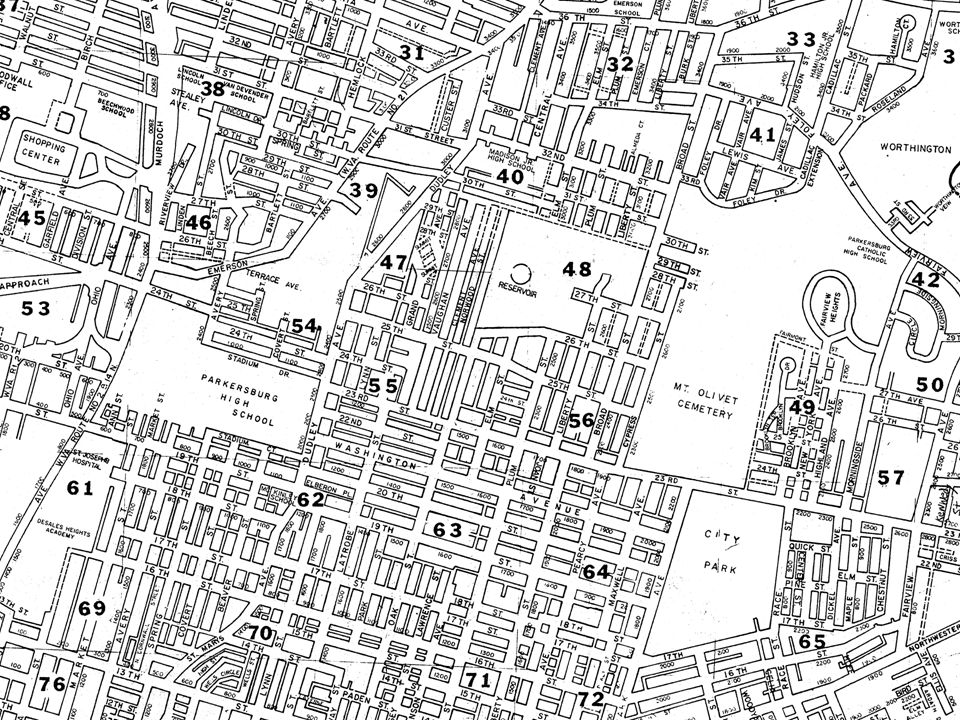
Tax map This is a copy of a scanned tax map Paper maps have no data attached to them other than what is written on them.

3
Scanned Tax map

4
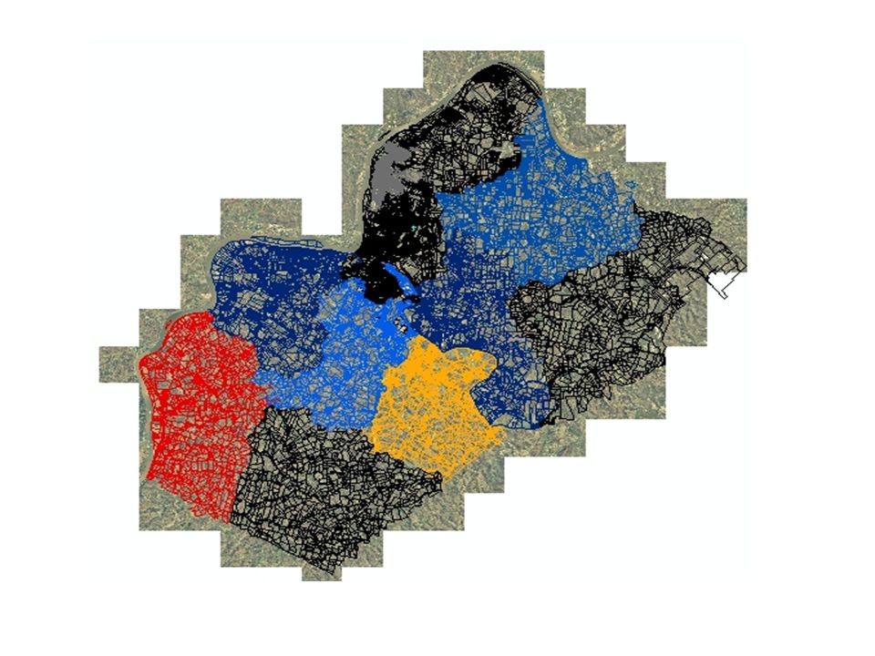
GIS Geographic Information System GIS in the Assessor’s office. Tax Maps overlaid on aerial orthophotography. Tax parcels linked to the IAS database. Includes road names and addresses. Flood data and contour lines. (Intelligent maps) click on parcel for owner info.
 click on parcel for owner info..")
8
FIND To find a parcel on the map click on the find box and type in the map number.

9
Find A Tax map

10
FIND Click ok then type in the parcel number.

11
FIND THE PARCEL

12
Find result

13
Mall Information displays with a click of the mouse on the parcel of interest. The Identify box displays the ownership information of the parcel. Map and parcel number, acres in parcel, address of owner, deed book and page, legal description and other information in the database

14
Grand Central Mall GRAND CENTRAL MALL

15
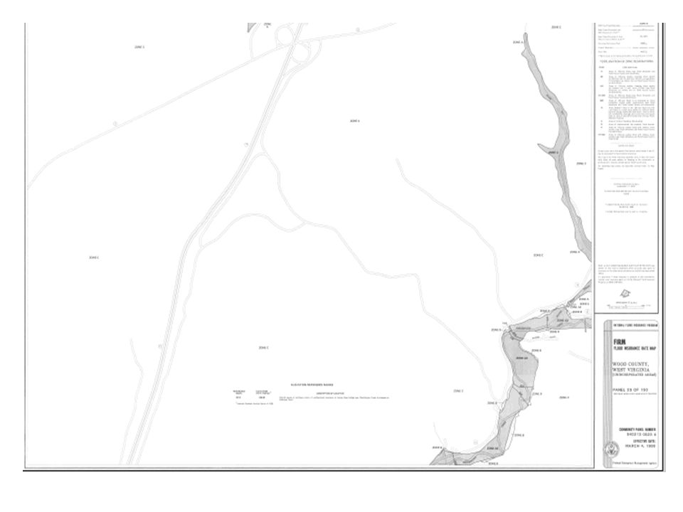
FLOOD PLAIN DATA Turn on the flood plain layer Blue line indicates the extent of the 100 year and the 500 year flood plains Click over the subject property Identify box tells flood plain zone and the firm panel map number

16
FLOOD ZONE INFO

17
FLOOD ZONE

19
FIRM INDEX MAP

21
Contour lines Contour lines displayed with elevation on lines.

22
contours

25
My Pictures\Adobe\Digital Camera Photos\2008-06-02-1436- 31\DCP_0798.JPGMy Pictures\Adobe\Digital Camera Photos\2008-06-02-1436- 31\DCP_0798.JPG

28
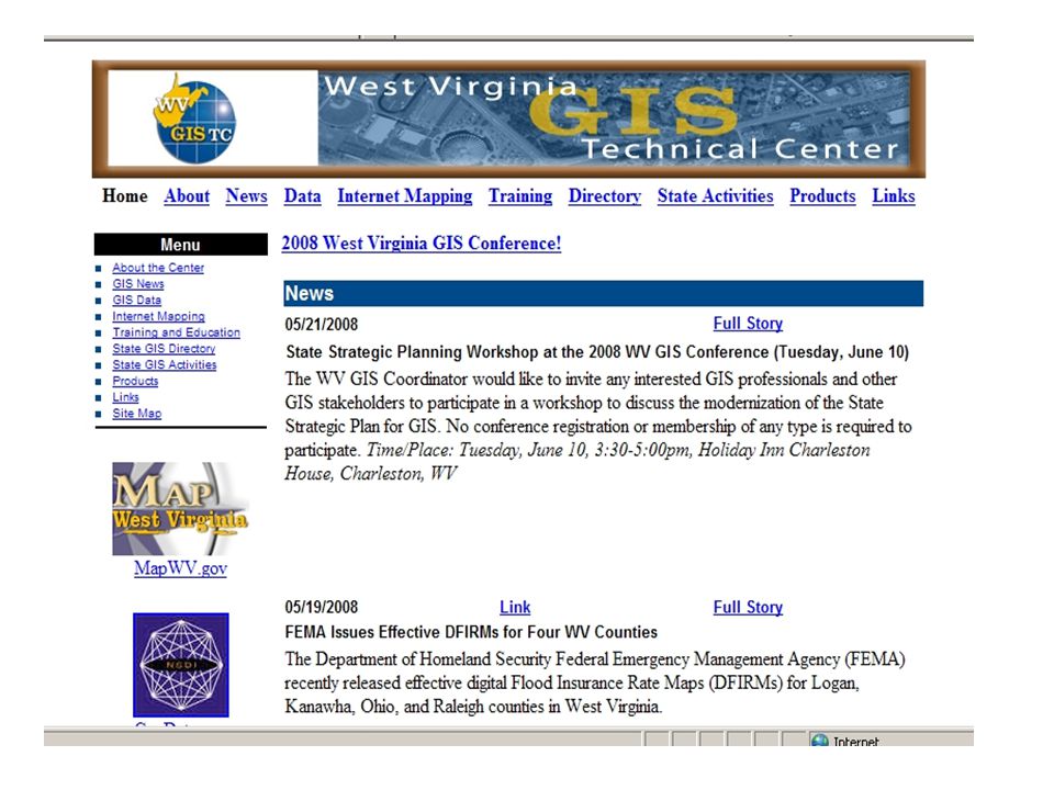
GIS in West Virginia based on the 2007 roll call information. There are currently about 33 WV Counties working towards a GIS

29
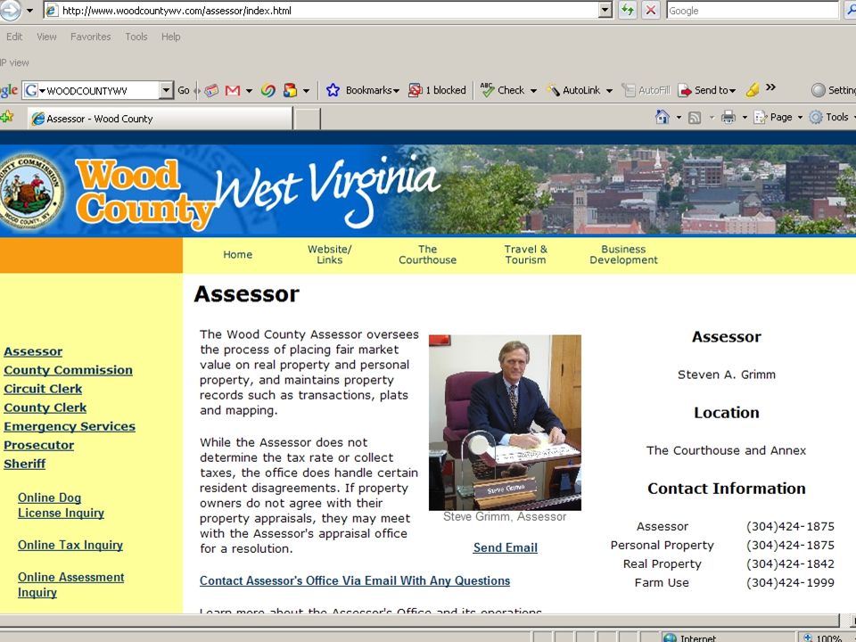
Wood County Website http://www.woodcountywv.com Most record searching can be done online Scanned tax maps, newer deeds, IAS info, home sketch. Wood County GIS is to be completed and on line in the summer of 2008.

31
GIS on the web http://www.co.hampshire.wv.us/

32
GIS on the web

33
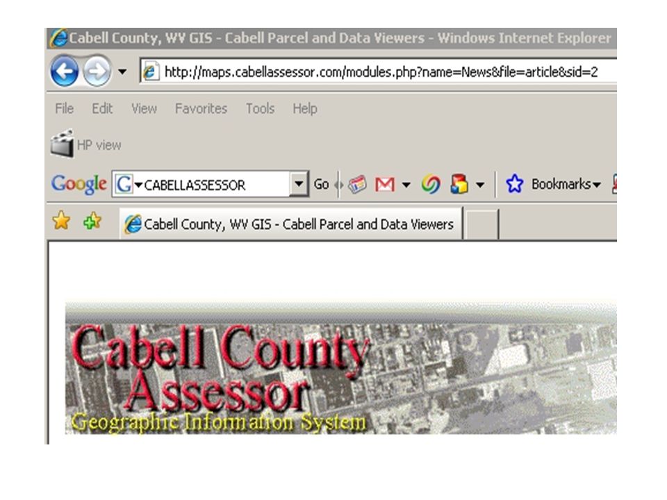
CABELL COUNTY Cabell county GIS web site

36
LR KIMBALL

40
My Pictures\Adobe\Digital Camera Photos\2008-06-02-1449- 44\DCP_0804.JPGMy Pictures\Adobe\Digital Camera Photos\2008-06-02-1449- 44\DCP_0804.JPG

Similar presentations


 A guide to retrieving critical data. This short presentation will introduce you to GOTNET. GOTNET will allow.>")

 1.Terminology 2.Questions to ask yourself when reviewing a report of water right.>")


>")


