Download presentation
Presentation is loading. Please wait.

1
Community Collaboration Success: The Shrewsbury River Flood Warning System Project Manager: Mariana Leckner, Ph.D., American Military University Stakeholder Partners: Capt. Mauro “Buzz” Baldanza, Oceanport OEM Margaret Murnane, Monmouth County OEM Research Partners: Dr. Thomas Herrington, Stevens Institute of Technology James Nickels, Urban Coast Institute, Monmouth University

2
Introduction This presentation is the result of collaborative efforts between: Monmouth County OEM NJ Municipalities of: Highlands Little Silver Long Branch Middletown Monmouth Beach Oceanport Rumson Sea Bright Urban Coast Institute of Monmouth University Stevens Institute of Technology IOOS and MACOORA

3
Background Genesis of collaboration: Oceanport’s NWS StormReady designation Multi-jurisdictional impacts of flooding Funding proposal troubles Existing IOOS infrastructure in place Strength in numbers! Planning Matching funds & services Operations and maintenance Regional mitigation Partnership successful in obtaining FEMA PDM funding

4
Issue Extensive Floodplain Nor’easters Inland Rainfall Hurricane Surge Extremely Vulnerable No existing historical or real time water level information.

5
Flood categoryHeight (feet) * Location Minor flooding3.9 – 4.9Sea Bright, Monmouth Beach, Long Branch, Rumson, Highlands Moderate Flooding4.9 – 5.9Little Silver, Oceanport, Sandy Hook ‘96, ‘98, ’00, ’10 Major Flooding> 5.9Sandy Hook, region ‘91, ‘92, ‘93 Historical flood heights/categories March 2010 flooding *NAVD88
 * Location Minor flooding3.9 – 4.9Sea Bright, Monmouth Beach, Long Branch, Rumson, Highlands Moderate Flooding4.9 – 5.9Little Silver, Oceanport, Sandy Hook ‘96, ‘98, ’00, ’10 Major Flooding> 5.9Sandy Hook, region ‘91, ‘92, ‘93 Historical flood heights/categories March 2010 flooding *NAVD88")
6
Purpose Monitoring Alert/warning Creating a database for future benchmarking Shrewsbury River at Route 36 (Photo: M. Leckner)
.")
7
Existing MARCOOS Infrastructure

8
NYHOPS Domain

9
Existing MARCOOS Storm Surge Products

11
Developed System Installed in 2010 Five gauges Integrated into existing MARCOOS system

12
System Operation Receiver/Decoder Monmouth University, Urban Coast Institute Website Stevens Institute of Technology, The Center for Maritime Systems System Management Monmouth County OEM Operations All stakeholders through operations board

13
Gauge Locations Installed gauge locations (not to scale)
")
14
Website: System Log-in Page

15
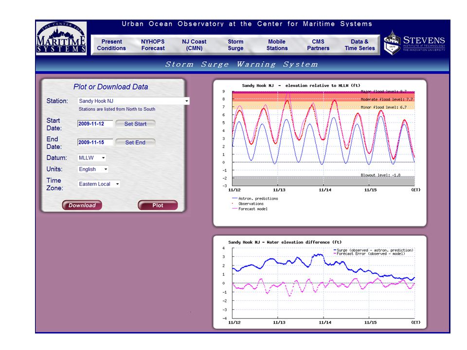
Website: Time-series Interface, sites

16
Example of System Application Comparison of gauge readings Oct 4 th – Oct 7 th Coastal flooding

18
Extended Benefits of Collaboration System provides data in previously unsampled region within MARCOOS Data will aid in the development of improved and expanded nowcast/forecast model. Reporting to NWS FO to develop improved flood impact tables

19
Extended Benefits of Collaboration Research Initiatives – New Jersey Marine Science Consortium Vulnerability Project – Collaborative Proposal to NOAA Climate Program to develop Historic and future (sea level rise) visualizations for community planning and preparedness
 visualizations for community planning and preparedness")
20
Questions

Similar presentations


 (2002 – 2003) Pacific Risk Management `Ohana (PRiMO) (2004.>")


 Alexandria,>")
