Download presentation
Presentation is loading. Please wait.

2
IntroductionToGIS with Gary Johnson

3
WHAT IS GIS ? What examples did you find ?

8
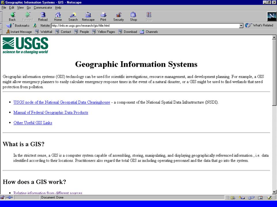
G I S An organized collection of computer hardware, software, geographic data, and personnel designed to efficiently capture, store, update, manipulate, analyze, and display all forms of geographically referenced information.

9
G I S G eographic G eographic: location A location somewhere on, above, or below the Earth. I nformation I nformation: attributes Qualities or attributes of a geographic location. S ystem S ystem: Tools Tools used to develop, query, and display geographic information.

10
G I S What is it ? It is a process which looks at the relationships layers between layers of geographic information

11
G I S is a process which looks at the relationships of layers by asking questionsquestionsquestions: Who is within a distance of... What would happen if... When was the last time... Where is a specific location of... How far from one location to another... How many occurrences of an event are within a distance of a location.

12
Examples of GIS questions asked Desert Game Range What is the total area of industrial minerals ? Potential Radon Hazard Where are the potential radon hazards ? Earthquake Scenario What would happen in Reno if a 7.1 earthquake happened on the earthquake happened on the Carson Valley Fault range Carson Valley Fault range Earthquake Event How many events happened in 1976

13
Layers of geographically referenced data

14
An organized collection of computer hardware software, geographic data, and personnel designed to efficiently capture, store, update, manipulate, analyze, and display all forms of geographically referenced information. WHAT IS A GIS ?

15
Lesson 4 Lesson 5 Lesson 6 Lesson 7 ArcView Final Presentation

16
Key Terms ARC Node Vertex Pseudo node Dangling node Label User-ID Tic

18
layer A layer is a theme of features various features: LAYERS Locations(points) + + + Lines(arcs) Areas (polygons) Images(raster) TIFFDEMGrids An x,y value A series of x,y locations A closed series of x,y locations VECTOR RASTER
 Lines(arcs) Areas (polygons) Images(raster) TIFFDEMGrids An x,y value A series of x,y locations A closed series of x,y locations VECTOR RASTER")
19
Topology (Relationships) A mathematical procedure for explicitly defining spatial relationships Three major topological concepts: Arcs connect to each other at nodes (connectivity) Arcs that connect to surround an area define a polygon (area definition) Arcs have direction and left and right sides (contiguity)
 A mathematical procedure for explicitly defining spatial relationships Three major topological concepts: Arcs connect to each other at nodes (connectivity) Arcs that connect to surround an area define a polygon (area definition) Arcs have direction and left and right sides (contiguity)")
20
IntroductionToGIS(cont.) with Gary Johnson
 with Gary Johnson")
21
G I S What is it ? It is a process which looks at the relationships layers between layers of geographic information

23
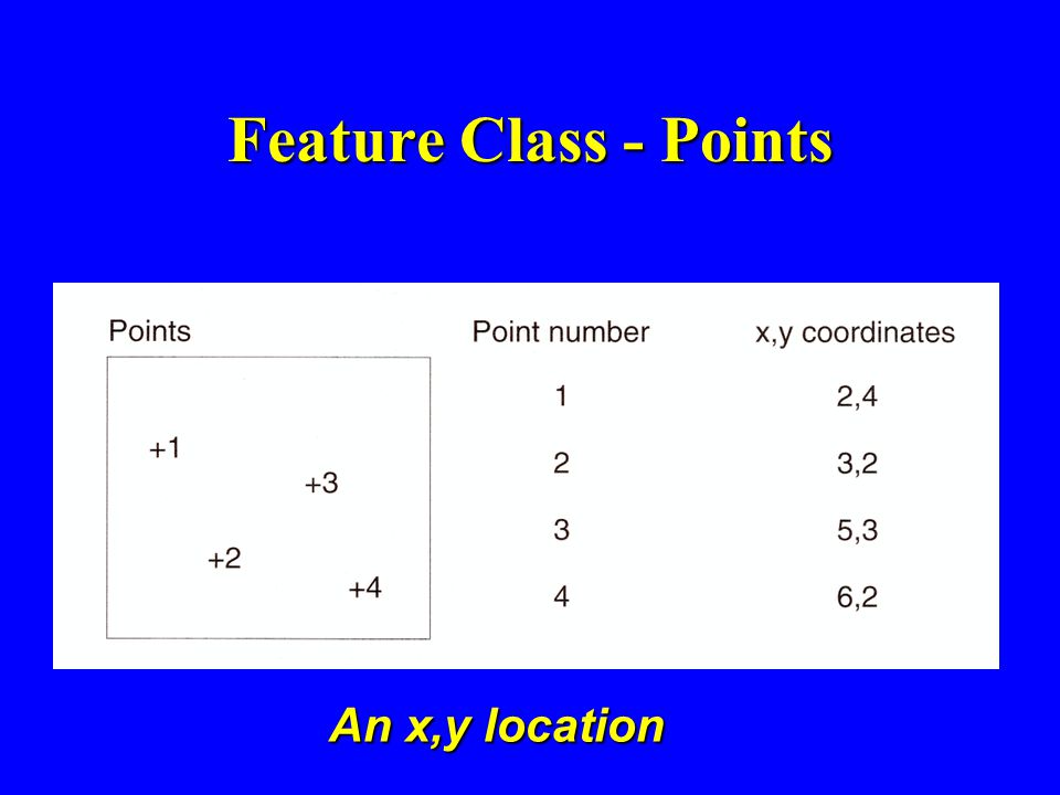
Feature Class - Points An x,y location

24
Feature Class - Line A series of x,y locations

25
Feature Class - Area (polygons) A series of x,y locations that are closed
 A series of x,y locations that are closed")
27
Arcs connect to each other at nodes.

28
Arcs that connect to surround an area define a polygon

29
Arcs have direction and left and right sides

30
Announcements: ArcView is available for $250.00 for each module Call E.S.R.I. 1-800-447-9778 you will need to fax your class schedule

Similar presentations


 A Tool for Project Based Learning Summer Institute 2005.>")


 are the systems that store, retrieve, analyze, transform and display.>")
? A GIS is a particular form of Information System applied to geographical.>")


 integrates hardware, software, and data for capturing, managing,>")
