Download presentation
Presentation is loading. Please wait.

1
Measurement of Landslide Movement with 3D Laser Scanner ASANO, Hiroki Erosion and Sediment Control Research Group Public Works Research Institute

2
Contents Most observation techniques and problem Outline of 3D Laser Mirror Scanner Attempt of landslide movement measurement with 3D Laser Scanner Result of movement measurement Summary

3
When landslide calamity occurs Based on the site situation and the observation value (ground expansion and contraction meter etc.). ・ The judgment is demanded promptly. ・ Appropriate measures is demanded. Hard measures : First aid restoration worker Software measures : Precaution and shelter recommendation

4
Observation technique at calamity suddenly Watch with CCD cameras Watch with ground expansion and contraction meter

5
Concept chart of watch at calamity

6
Ground expansion and contraction meter crack Storage box Paling

7
Principle of ground expansion and contraction meter Movement of landslide Inn bar line Rotation of drum Record pen Recording paper

8
Drum of ground expansion and contraction meter

9
Example of setting up ground expansion and contraction meter

10
Insufficient point of ground expansion and contraction meter The installation and the measurement are difficult in the place with danger. It takes time for the installation (The expansion and contraction meter is one/day). The installation and the observation at nighttime are difficult.
. The installation and the observation at nighttime are difficult..")
11
laser scanner landslide Measurement image of 3D scanner

12
3D Laser Scanner

13
Composition of 3D laser scanner ① range finder electronics of the 3D scanner LMS-Z210 ② laser beam ③ rotating polygon ④ slow scan ("frame scan") ⑤ ECP compatible LPT printer port ⑥ PC ⑦ software
 ⑤ ECP compatible LPT printer port ⑥ PC ⑦ software")
14
Outline of 3D laser scanner Measurement range : 2 ~ 350, reflectivity >= 80 % Measurement accuracy : +/- 2.5 cm, in the worst case +/- 10 cm Range which can be measured : 80°×300° total Beam divergence : approx. 3 mrad Eye safety : Class 1 for the scanned beam

15
Characteristic of 3D laser scanner The pulse of the laser beam is launched repeatedly at very short intervals of time. Each pulse reflects, the time to returning is measured, and the distance is measured. The direction of the laser beam is changed and three- dimensional shape is scanned. = The measurement principle is the same as the machine and the total station etc. of a general light wave measurement. A new part is technically a method of scanning It is possible to measure without setting up the reflection mirror.

16
L ΔtΔt L=c ・ Δ t (片道) laser scanner laser pulse t t t
 laser scanner laser pulse t t t")
17
laser pulse mirror laser scanner

18
laser scanner

19
laser scanner

20
laser scanner Extension angle of 3mrad

21
The measurement data displayed to personal-computer

22
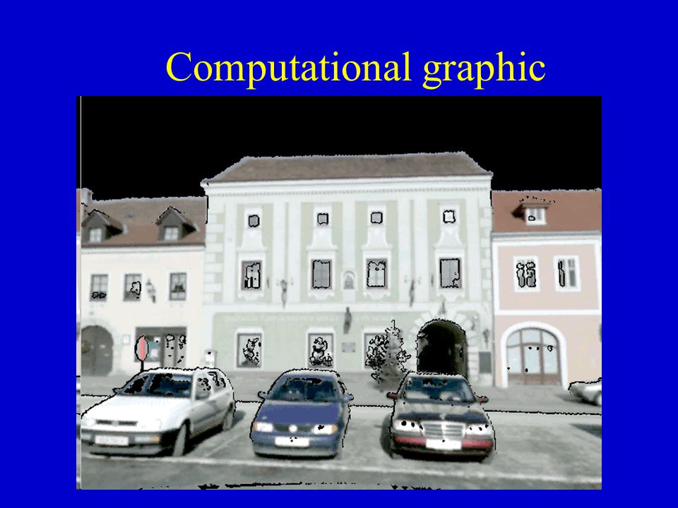
Computational graphic

24
Landslide measurement which uses 3D laser scanner Geographical features measurement of landslide →Making of DEM( digital elevation model ) →Making of topographical map Measurement two or more times →Grasp of displacement situation Making of vector chart Grasp of range of landslide movement
 →Making of topographical map Measurement two or more times →Grasp of displacement situation Making of vector chart Grasp of range of landslide movement")
25
X Y Z laser scanner Overlapping the data is difficult if there is no points in evaluation.

26
point (X,Y,Z) X Y Z laser scanner
 X Y Z laser scanner")
27
XY Z point (X,Y,Z) X Y Z laser scanner
 X Y Z laser scanner")
28
Reflection seal

29
Situation of measurement

30
laser scanner Range of measurement ( top and bottom ) 40° ( right and left ) 85° Landslide
 40° ( right and left ) 85° Landslide")
31
Procedure of the measurement data analysis ① The data measurement ② The point data making ④ Making of TIN model ⑤ Plan and section chart making ③ Movement amount calculation

32
Vector chart

33
Frequency distribution of measurement error

34
11 月 16 日 地すべり末端 11 月 24 日

35
Landslide movement range chart

36
Summary ① 7cm or less roughly against the amount of the movement of 15-20cm. ② The respect grasp of the range of the movement was possible because of overlapping the topographical map before and behind the movement amount. ③ The examination is scheduled to be advanced for the improvement of the accuracy in the future.

37
Finished Thank you for your attention.

Similar presentations
>")


