Download presentation
Presentation is loading. Please wait.

1
Dock Suitability LCDR Xochitl Castañeda Chief, Waterways Management Division Sector Houston-Galveston Prepared for Dredging Your Docks 2012 November 7, 2012

2
TOPICS Lone Star Harbor Safety Committee Hurricane Rita & Hurricane Ike Groundings at dock MSIB 07-07 MSIB 01-08 Conclusions

3
Lone Star Harbor Safety Committee A public forum to address navigation safety-related matters involving the ports of Houston, Galveston, Texas City, and Freeport including the associated waterways of the Gulf Intracoastal Waterway and offshore lightering zones. Regional expertise and insight to address such issues as vessel traffic management, anchorage management, communications, security, significant/heavy weather preparations, maritime traffic disruption/restoration, process improvements, and any other related topics dealing with the MTS.

4
LONE STAR HSC Membership

5
LONE STAR HSC Dredging Subcommittee Provide a forum to discuss, communicate, and as necessary make recommendations regarding dredging issues as related to safety within the Houston, Texas City, Galveston area waterways

6
Houston/Galveston Complex Ports of Houston, Galveston, and Texas City Home to the world’s 2nd largest petrochemical complex

7
Grounding at Dock A vessel is ordered in with no dock restrictions and given instructions for loading cargo The vessel is moored in good order The vessel loaded all of the cargo despite grounding on their bow (3M) Pilot attempts to get vessel U/W
 Pilot attempts to get vessel U/W")
8
A Busy Port

9
Possible Factors Surveys were current and IDed the area of shoaling- Facility did not tell vessel about the area of shoaling Construction of a pier required mooring further up the dock Mound possibly caused by tugs assisting vessels across the channel Vessel did not use a lead line and possibly did not get off the vessel to check drafts

10
Hurricane Rita

11
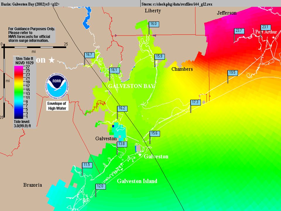
September 24, 2005 near Sabine Pass, TX 4th-most intense Atlantic hurricane ever recorded Most intense tropical cyclone ever observed in the Gulf of Mexico

12
Hurricane Rita Source: HOU/GAL VTS (2005)
")
13
Hurricane Rita 9/22/05 1400 Port Closed 9/24/05 1000 VTC Powers Up and Begins Damage Assessment 9/25/05 0900 Survey Boats at Various Locations begin Conducting Surveys 9/26/05 0130 Local Transits of Light Boats Begin 9/26/05 0530 Daylight Transit (35 ft) Begin. 9/29/05 1215 Channel Open to Project Depth Time Lapse: 1D 20H 2D 19H 3D 11.5H 3D 15.5H 6D 22.5H Source: HOU/GAL VTS (2005)
.")
14
Post-Rita Response USCG, USACE, and NOAA surveyed federal channels to locate shoaling and obstructions due to Hurricane Katrina, several survey vessels were already mobilized in close proximity to the HGC and able to quickly perform post-storm surveys pre- and post-hurricane surveys were compared to help provide a critical analysis of the waterways prior to allowing ship traffic to re-enter the HGC, and used to request emergency funding for the dredging of channels and the removal of obstructions

15
Post-Rita Response In 2005, however, pre-hurricane surveys in the HGC were not completed for all waterfront facilities, and post-hurricane surveys were completed only by a small number of waterfront facilities Fortunately, little shoaling occurred in the HGPC as a result of Hurricane Rita, no underwater obstructions were detected, and facilities suffered only minor damage

16
Post-Rita Response Federal Responders do not conduct surveys at non-federal government facilities and that the responsibility to survey a facility’s docks and moorings rests with the facility itself, Dredging Subcommittee developed a proactive navigation preparedness initiative in the form of a “Best Practice Guidelines” for waterfront facilities.

17
MSIB 07-07

18
Recommends Recommends Annual survey conducted by the waterfront facility prior to the start of hurricane season, and Establishment of a plan to have an emergency post storm survey of docks and moorings completed as soon as possible

19
MSIB 07-07 Purpose of Surveys Assist the USCG in determining whether or not vessels can safely arrive at a facility’s dock or mooring, Provide valuable documentation of damage or loss for insurance companies, and May support an emergency declaration and access to Federal financial assistance.

21
MSIB 01-08 Noted a significant number of dockside groundings Cited reporting requirements (CG-2692) Facilities should conduct periodic surveys and report survey info to Pilots, Vessel Agents and arriving Vessels
 Facilities should conduct periodic surveys and report survey info to Pilots, Vessel Agents and arriving Vessels")
22
Implementation Distribution of the Best Practices for Surveying Guidelines to waterfront facilities (out soon) Choose a hydrographic surveyor
 Choose a hydrographic surveyor")
23
Hurricane Ike

24
September 13, 2008 at Galveston, TX Strong Category 2 Storm at landfall, projected storm surge comparable to Category 4 Direct impacts to Ports of Houston, Galveston, and Texas City

25
MSIB 06-08

26
Hurricane IKE

28
Hurricane Ike Source: NOAA/AOML/Hurricane Research Division Surface Winds (Kts) Maximum Sustained
 Maximum Sustained")
29
Hurricane Ike Survey vessels pre-staged based on Port Coordination Team (PCT) meetings Part of “Lessons Learned” from Hurricane Rita
 meetings Part of Lessons Learned from Hurricane Rita")
30
Port of Houston Galveston-TX City Pilots Port of Texas City Port of Galveston Port of Freeport Offshore Port American Waterways Operators West Gulf Maritime Houston Pilots Harbor Tugs Oil Refineries Oil Terminals Chemical Carriers Non-VTS Users Port Coordination Team PCT

31
PCT Goals 1) Communicate, communicate, communicate 2) Coordinates port wide posture changes in response to all threats/all hazards 3) Ensures Port reopening and prioritization of maritime traffic optimizes timely supply of critical commodities to facilities 4) Assists Federal/State/Local responders with local knowledge, expertise and supplies
 Communicate, communicate, communicate 2) Coordinates port wide posture changes in response to all threats/all hazards 3) Ensures Port reopening and prioritization of maritime traffic optimizes timely supply of critical commodities to facilities 4) Assists Federal/State/Local responders with local knowledge, expertise and supplies")
32
Hurricane Ike 9/11/08 2300 Port Closed 9/13/08 1000 Post-storm Waterways and Infrastructure Assessments Extensive surveys, to include aerial assessments, initial centerline surveys, aids to navigation assessments, and waterside facility assessments. Port Coordination Team (PCT) efforts with port stakeholders are essential for a quick and efficient assessment of all COTP waterways. Partnering with industry to restore navigation on the COTP zone waterways is essential in the process of reopening this economically critical port. 9/15/08 0600 VTS Houston-Galveston Resumes Full Operations 9/15/08 0700 Shallow Draft Vessel (≤ 12ft) Begin Transits in HSC & GICW (MM350 to MM342 w/in COTP Zone Houston-Galveston) – Within 48hrs 9/15/08 Daylight Transits (38ft - Port of Freeport) 9/17/08 Daylight Transits (38ft - Sea Buoy to Shell / 30ft - Shell to Turning Basin; 30ft - Port of Galveston; 16ft - Port of Texas City) – Within 96hrs 9/23/08 HSC Open to Project Depth Source: Sector HOU/GAL (2008)
 efforts with port stakeholders are essential for a quick and efficient assessment of all COTP waterways. Partnering with industry to restore navigation on the COTP zone waterways is essential in the process of reopening this economically critical port. 9/15/ VTS Houston-Galveston Resumes Full Operations 9/15/ Shallow Draft Vessel (≤ 12ft) Begin Transits in HSC & GICW (MM350 to MM342 w/in COTP Zone Houston-Galveston) – Within 48hrs 9/15/08 Daylight Transits (38ft - Port of Freeport) 9/17/08 Daylight Transits (38ft - Sea Buoy to Shell / 30ft - Shell to Turning Basin; 30ft - Port of Galveston; 16ft - Port of Texas City) – Within 96hrs 9/23/08 HSC Open to Project Depth Source: Sector HOU/GAL (2008).")
33
Hurricane Ike Approximately 65-75% of terminals had conducted pre-storm surveys – Ports of Houston, Galveston, Texas City Percentage is a significant improvement compared to pre-Rita levels Terminals with recent surveys sent to “top of the line” – Priority with regards to Facility Inspections to render re-opening status.

34
Conclusions Lone Star HSC initiative to encourage terminals to conduct pre-storm surveys aided in the quick re- opening of the Houston Ship Channel Post-Ike Port Coordination Team – Strong relationships, cooperative communication – Expedite economically vital port recovery Many terminals still do not understand they are responsible for post-storm surveys of their facilities

35
Questions? Waterways Management Division Xochitl.L.Castaneda@uscg.mil Celeste.R.Corrigan@uscg.mil (713)678-9001
")
Similar presentations


 in Cook Inlet.>")


