Download presentation
Presentation is loading. Please wait.

1
Using “On the Map” as part of the Main Streets Program
By Burt Samuelson Ulster County Planning Board May 2010

2
Main Streets NYS Division of Housing and Community Renewal
Grants for Building and Streetscape Improvements Grants for Construction of “Downtown Anchors”

3
History in Ulster County
Important Role of Non-Profits Shandaken Revitalization Plan Committee Awarded grant money in 2004 Rural Ulster Preservation Company (RUPCO) Awarded grant money from 2004 to 2008 Anchor, Mixed Used, and Streetscape Projects
 Awarded grant money from 2004 to Anchor, Mixed Used, and Streetscape Projects.")
4
Capacity Building Extend Local Roles Background Research
Increased Understanding Regional Coordination Formation of Local Committees Background Research Land Use, and Transportation Data by County Planning Board Marketing Analysis by Consultant

5
Planning Board Responsibilities
Zoning Analyses Land Use Mapping Traffic Accident Mapping Traffic Flow Descriptions Database Creation Commute and Labor Shed Patterns Using Local Employment Dynamic’s “On the Map”

6
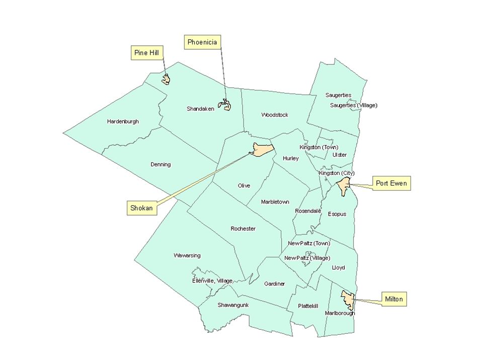
Hamlets Local Governments Esopus (Hamlet of Port Ewen)
Marborough (Hamlet of Milton) Shandaken (Hamlets of Pine Hill and Phoenicia) Olive (Hamlet of Shokan)
 Shandaken (Hamlets of Pine Hill and Phoenicia) Olive (Hamlet of Shokan)")
11
Observations (2008 Data) Milton Port Ewen Pine Hill
Regional Commuting Patterns Port Ewen Suburb of Kingston Pine Hill Connection with Sullivan County

12
End Result Material for grant writing Resource for marketing
Resource for transportation planning

Similar presentations


 Brownfield Designation Environmental Protection Division District 2 and 6 April 23, 2013.>")


 Indiana Housing and Community.>")


