Download presentation
Presentation is loading. Please wait.

2
Norway

4
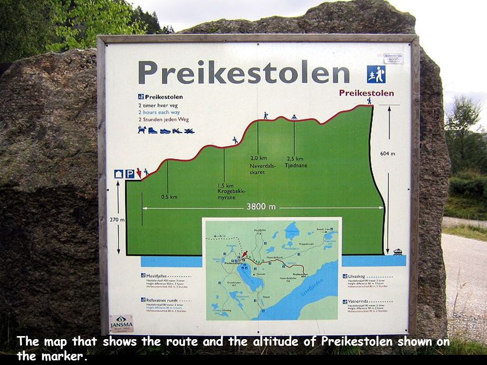
The map that shows the route and the altitude of Preikestolen shown on the marker.

5
The Preikestolen (literally “Rock Pulpit”) is perhaps the most famous attraction in Stravanger, Norway.. However, you have to be in good physical condition to take the two hour trek up to the summit. To say that you'll enjoy a breath taking view is a no brainer!

6
Beginning of the climb

7
From here on the climb gets hard

8
You have to climb up stretches full of rocks

9
Here you stop to rest a little and take pix

10
A little refreshment from the trickling stream

11
A little more dangerous going across a suspended bridge

12
Almost there

13
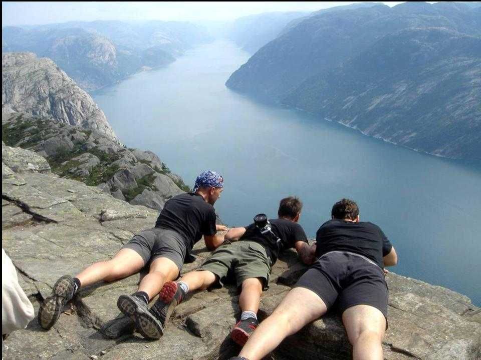
And here we are finally!

14
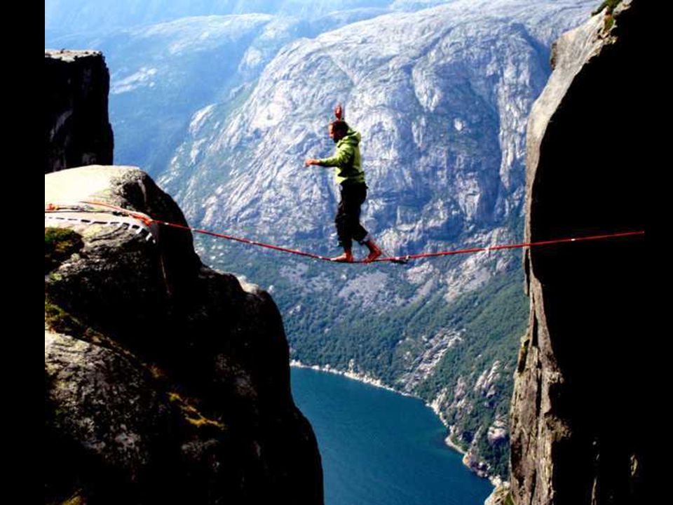
From here the pictures don't need any commentary. But if you suffer from vertigo' I would advise you not to look down!

23
The big fissure that splits the rock down to the sea

24
In the vicinity of Preikestolen there are so many beautiful places worth seeing but one stands out above all the others and it is “THE MORTISED BOULDER”

Similar presentations


 we find the highest bridge in the world.>")


