Download presentation
Presentation is loading. Please wait.

1
Geographical Information Systems and Science Longley P A, Goodchild M F, Maguire D J, Rhind D W (2001) John Wiley and Sons Ltd 5. The Nature of Geographic Data © John Wiley & Sons Ltd

2
Overview: Spatial is Special The 'true' nature of geographic data The special tools needed to work with them How we sample and interpolate (gaps) What is spatial autocorrelation, and how can it be measured? Fractals and geographic representation

3
Why GIS? Small things can be intricate GIS can: Identify structure at all scales Show how spatial and temporal context affects what we do Allows generalization and accommodates error Accommodates spatial heterogeneity

4
Building Representations Temporal and spatial autocorrelation Understanding scale and spatial structure How to sample How to interpolate between observations Object dimensions Natural vs. artificial units

5
Spatial Autocorrelation Spatial autocorrelation is determined both by similarities in position, and by similarities in attributes Sampling interval Self-similarity

7
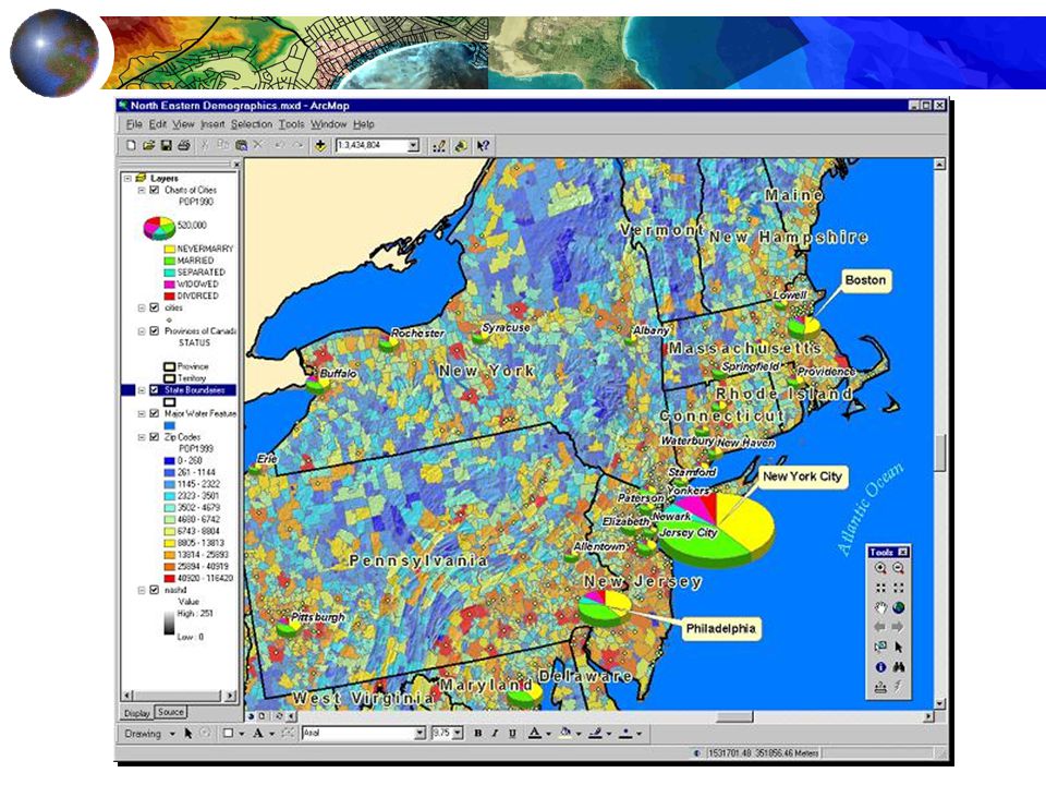
Spatial Sampling Sample frames Probability of selection All geographic representations are samples Geographic data are only as good as the sampling scheme used to create them

8
Sample Designs Types of samples Random samples Stratified samples Clustered samples Weighting of observations

10
Spatial Interpolation Specifying the likely distance decay linear: w ij = -b d ij negative power: w ij = d ij -b negative exponential: w ij = e -bdij Isotropic and regular – relevance to all geographic phenomena? Inductive vs. deductive approaches

11
Spatial Autocorrelation Measures Spatial autocorrelation measures: Geary and Moran; nature of observations Establishing dependence in space: regression analysis Y = f (X 1, X 2, X 3,..., X K ) Y = f (X 1, X 2, X 3,..., X K ) + ε Y i = f (X i1, X i2, X i3,..., X iK ) + ε i Y i = b 0 + b 1 X i1 + b 2 X i2 + b 3 X i3 +... b K X iK + ε i

16
Functional form The assumptions of inference Tobler’s Law Multicollinearity

17
Discontinuous Variation Fractal geometry Self-similarity Scale dependent measurement Regression analysis of scale relations

18
Consolidation Induction and deduction Representations build on our understanding of spatial and temporal structures Spatial is special, and geographic data have a unique nature

19
Fractals-Mandelbrot

20
Serpinski’s Carpet

21
Julia Set

22
Fractals Cont’d

23
How a Fractal Works (Koch Curve)
")
24
Koch Curve- Infinite Length in a finite boundary The initiator The generator The generator is repeated... and repeated... etc...

Similar presentations


 John Wiley and Sons Ltd 6. Uncertainty © John Wiley.>")
 John Wiley and Sons Ltd 7. Generalization, Abstraction,>")
 John Wiley and Sons Ltd 1. Systems, Science and.>")


 SGO1910 & SGO4930 Vår 2004 Foreleser: Karen O’Brien Seminarleder: Gunnar Berglund>")


 September 5, 2006 SGO1910 & SGO4030 Fall 2006 Karen O’Brien Harriet Holters Hus, Room 215>")
