Download presentation
Presentation is loading. Please wait.

1
Nordisk GIS-konferanse 2003 Kari Strande INSPIRE expert group EUROGI representing GeoForum FIG com 3 - NSDI GI-policy in EU

2
Policy drivers Telecommunications Policy Public Sector Information Policies e-Government Environmental Policy EU-Accession Wider Europe GSDI GI-policy in EU

3
Key Players Pan European GI Market Players National GI Associations Pan European Organisations Users at European Level Global GI Organsations European Commissions Inititatives COGI EUROSTAT - GISCO

4
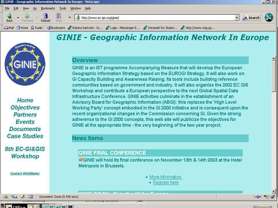
INSPIRE EUROSTAT JRC DG-ENVIRONMENT GINIE EUROGI OGC JRC University of Sheffield GI-policy in EU

5
I N S P I R E INfrastructure for SPatial InfoRmation in Europe http://inspire.jrc.it/

6
INSPIRE: Launched by MoU MoU triggered: -18 months of intensive voluntary collaboration of over 100 experts in MS and accession countries -Definition of scope and measures of legislative framework -Impact assessment -Widespread support as demonstrated by Internet consultation

7
Why does Europe need an SDI? Existing information difficult to find and access; Lack of information on updating and observation methods (metadata); Barriers to sharing data and reuse; Lack of standardisation in data exchange and representation; Varying data quality within the same information layer across countries and regions Good policies require quality information! Europe has lots of information, but fragmented and suffering some key problems:
; Barriers to sharing data and reuse; Lack of standardisation in data exchange and representation; Varying data quality within the same information layer across countries and regions Good policies require quality information. Europe has lots of information, but fragmented and suffering some key problems:.")
8
Data should be collected once and maintained at the level where this can be done most effectively Combine seamlessly spatial data from different sources across the EU and share it between many users and applications Spatial data should be collected at one level of government and shared between all levels of government Spatial data needed for good governance should be available on conditions that are not restricting its extensive use It should be easy to discover which spatial data is available, to evaluate its fitness for purpose and to know which conditions apply for its use INSPIRE Principles

9
0 m < Difference < 50 m 50 m < Difference < 200 m Difference > 200 m CORINE Land Cover 1990 SABE Coastline Example: All the data are not interoperable Example: All the data are not interoperable

10
What can an SDI do for European users? European SDI would support formulation, implementation and monitoring of common policies in Europe A glance into the future: - Urban ozone monitoring systems - Forest fire risk monitoring systems - Flood prediction and monitoring systems - Oils spills - Erosion European SDI would have significant spin-offs for research, education and the private sector and have societal benefits

11
Why does Europe need an SDI? Because good policies require quality information! A glance in the future: - Urban ozone monitoring systems Relevance: Cafe, Environement and health strategy, local authorities, the citizens…

12
Why does Europe need an SDI? Because good policies require quality information! A glance in the future: - Urban ozone monitoring systems - Forest fire risk monitoring systems Forest fires damage and risk assessment Relevance: early reaction and preparedness, mitigation and compensation, local to global action planning

13
Flooding process in the Rhine valley by Bonn Rhine

14
Flooding process of the Rhine - city of Bonn

15
Why does Europe need an SDI? Because good policies require quality information! A glance in the future: - Urban ozone monitoring systems - Forest fire risk monitoring systems Coastal erosion Required data sources: Terrestrial Administrative and maritime boundaries, Shoreline, Bathymetry, Elevation, Geomorphology and geology, Erosion trends and coastal, defence works, Hydrography, Infrastructure, Wave and wind climate, Tidal regime, Sea level rise, Land cover and land cover changes, Areas of high ecological value

16
What is the purpose of a European SDI? To ensure implementation throughout Europe of the measures needed to address the obstacles to the use of spatial information across borders To free the potential of the use of existing information currently locked up by the GI obstacles To deliver the capacity to integrate information from different sources To provide a framework in which information collected at the local and regional level can be used in a national and european context and vice versa

17
5 INSPIRE state of the play Recommendations on legal issues –build upon subsidiarity but do involve regional and local levels –ensure complementarity with related legal initiatives, e.g. PSI –ensure compliance with the data protection directive –cope with authors rights and copyright –compliance with competition law

18
6 INSPIRE state of the play Recommendations on organisational issues –promote the creation of GI-associations –promote the creation of thematic centres of excellence Recommendations on reference data and core thematic data –clear priorities for data content –link with other major EU initiatives

19
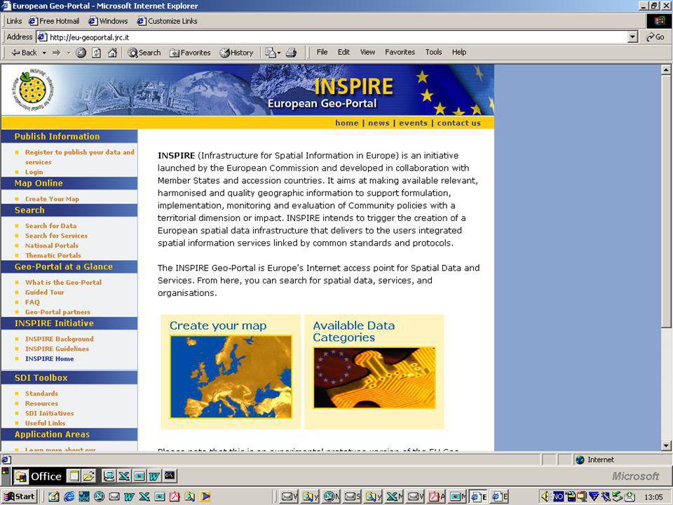
8 INSPIRE state of the play Recommendations on access services –promote a single EU geo-portal Recommendations on standardisation –urgent need to address the migration of existing metadata(systems) to a common standard Recommendations on funding –dedicate funds to transnational projects –assess every EU-level GI-project on INSPIRE compatibility
 to a common standard Recommendations on funding –dedicate funds to transnational projects –assess every EU-level GI-project on INSPIRE compatibility")
20
22 INSPIRE in relation to GMES GMES overall plan –2002-03: initial period: To identify the strenghts and weaknesses of the current capacity and the needs for improvement in the scientific, technical, socio-economic and institutional domains –2004-08: implementation period: To establish a European (autonomous, operational) capacity for Global Monitoring of the Environment and Security
 capacity for Global Monitoring of the Environment and Security")
21
23 INSPIRE in relation to GMES Call november 2003 –Thematic projects Water resources Atmosphere Risk Management Information management tools –Data Harmonization Project

22
28 INSPIRE future actions Draft document ready, Interservice consultation still under discussion Actions towards implementation strategy continue Call for tender to be launched in November (co-financed by DG ENV and EUROSTAT) GMES call in November
 GMES call in November")
23
INSPIRE Key Measures Measure 1: Document existing spatial data Measure 2: Contribute to data standards and harmonise existing data Measure 3:Establish service network to publish, discover, evaluate, view and access spatial according to common standards Measure 4: Establish licensing framework to share information between public bodies

24
1. Geographical location 2. Administrative units 3. Properties, buildings and addresses 4. Elevation 5. Geo-physical environment 6. Land surface/land cover 7. Transport 8. Utilities and facilities 9. Society and population 10. Spatial planning/ Area regulation 11. Air and climate 12. Water/hydrography 13. Ocean and seas 14. Biota/biodiversity 15. Natural resources 16. Natural and technological risks and natural disasters 17. Areas under anthropogenic stress INSPIRE Scope: 17 Themes

27
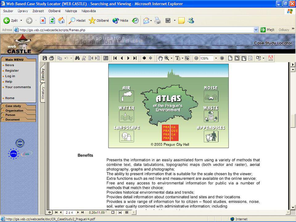
CASE STUDY Main objective: to visualise and empower practical use of GIT in different application fields through documented best practices. Webcastle enables description of case studies, organisations, persons and documents related to the case studies and deposition, maintenance and distribution of such information. WebCastle offers searching engine for all types of registered objects and retrieving information, link to original sources and related subjects.

28
GIS-policy in EU Towards A European GI Strategy

29
GIS-policy in EU INfrastructure for SPatial InfoRmation in Europe http://inspire.jrc.it/

34
eContent European Digital Content on the Global Networks

35
The eContent programme Improving access for all to high-quality digital content on the global networks In a multiplicity of languages Complementary to research (6th Framework programme/IST)
")
36
The eContent programme Improving access for all to high-quality digital content on the global networks In a multiplicity of languages Complementary to research (6th Framework programme/IST)
")
37
eEurope 2002 Action Plan · A cheaper, faster, secure Internet · Investing in people and skills · Stimulate the use of the Internet eContent political background eEurope 2005 Action Plan · Stimulating services, applications and content · Addressing underlying broadband infrastructure

38
FP6: Thematic priorities Life Sciences, genomics, biotechnology for health Information society technologies Nanotechnologies, new production processes Aeronautics and space Food quality and safety Sustainable development, global change and ecosystems Citizens and governance in a knowledge based society

39
Projects, products and activities

40
‘European mapping’ - Reference data for Europe’s SDI Geodetic system Topographic layer Administrative units Roads & other transport networks River networks Cadastre Addresses Geog. Names Orthoimagery Height

41
EuroSpec Objectives: –Develop common specifications –Build the “natural” link between national and european data models Scope: all scales, quality assurance, international standards, processes (procedures) Umbrella for EuroGeographics activities
 Umbrella for EuroGeographics activities")
42
EuroGlobalMap Digital topographic dataset that covers Europe at the scale 1:1 Million. Seamless and harmonised data. and is Produced in cooperation with the National Mapping and Cadastral Agencies of Europe, using official national databases. 36 countries have agreed to contribute to the dataset. The project started on July 1. 2002 and the duration is 21 months.

43
EuroRegionalMap Multi-functional reference topographic dataset at a reference scale of 1:250 000 Cover seven European countries and will be developed to map the entire European region. EuroRegionalMap dataset contain 8 different thematic layers: Administrative boundaries, Hydrography, Transport, Settlements, Vegetation, Elevation, Named locations, Miscellaneous objects 6 National Mapping agencies

44
INSPIRE and PSI: Fully complementary! Emerging from obstacles identified by broad range of users Focus on specific public-sector GI content Requirements for inter-operability Data policy focuses on data sharing between public bodies No provision on pricing Emerging from obstacles identified by industry Adresses all public sector information No requirements for inter- operability Data policy focuses on commercial exploitation Provision on pricing INSPIREPSI

45
Current status and future steps Most of the preparatory work has been done Initially foreseen for adoption of proposal by Commission in October 2003 Lead Commission services are still considering their position Future steps and timing remain to be decided

47
http://ec-gis.org/inspire http://ec-gis.org/ginie http://gis.vsb.cz/webcastle http://eu-geoportal.jrc.it http://www.eurogeographics.org http://www.eurogi.org GI-policy in EU

Similar presentations


 => first European document dedicated exclusively.>")


