Download presentation
Presentation is loading. Please wait.

1
Functions/Tasks of GIS:Data Input
The procedure of encoding data into a computer-readable form and writing the data to the GIS database. Data input includes three major steps (the latter two steps are also called data preprocessing): Data capture Editing and cleaning Geo-coding
: Data capture. Editing and cleaning. Geo-coding.")
2
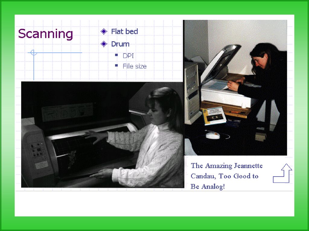
Functions/Tasks of GIS: Data Input
Keyboard entry Manual digitizing (e.g., tablet, on-screen) Scanning
 Scanning.")
5
Geographic Data Organized into Layers

6
Data Input :Data Sources for GIS
maps aerial photos satellite images technical descriptions GPS data

Similar presentations


 201113010 Summer Internship Project Digitization of Toposheet & Cadastral Map 4/30/2015 1 Kutch Nav Nirman Abhiyan.>")


. CS 128/ES 228 - Lecture 5a2 Spatial modeling in raster format Basic entity is the cell Region represented.>")
 Automatic.>")


