Download presentation
Presentation is loading. Please wait.

1
World Wide Weather Briefing – Event Week 2013 Satellite Imagery Interpretation of Severe Thunderstorms in the USA. Dan Bikos Cooperative Institute for Research in the Atmosphere (CIRA) Fort Collins, Colorado, USA
 Fort Collins, Colorado, USA.")
2
My Location +Fort Collins, Colorado

3
National Weather Service Severe Thunderstorm Products Storm Prediction Center (SPC) in Norman, Oklahoma Issues: Convective Outlooks Severe Thunderstorm and Tornado watch boxes National Weather Service Forecast Offices (122 nationwide) issue Severe Thunderstorm / Tornado warnings. These are take action statements when severe thunderstorms are occurring and about to strike your location.

4
Tools for Severe Thunderstorm Forecasting / Warnings NWP Model Output Satellite ImagerySurface Observations Radar Upper Air Soundings

5
Objectives Focus will be on satellite applications. Much information can be obtained from satellite imagery: – Air mass identification. – Identification of changes in the pre-storm environment. – Monitor the changing environment during the nowcast time period. Particularly useful in data void regions.

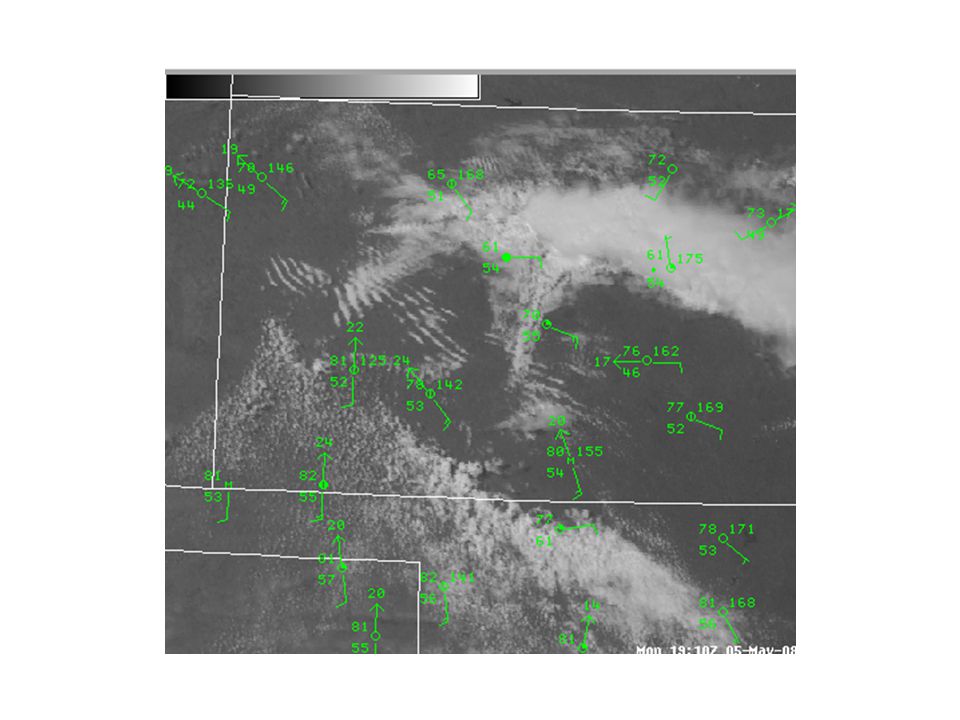
10
May 5, 2008 Example

14
2.5 cm 10.8 cm Hail diameter size (cm)
")
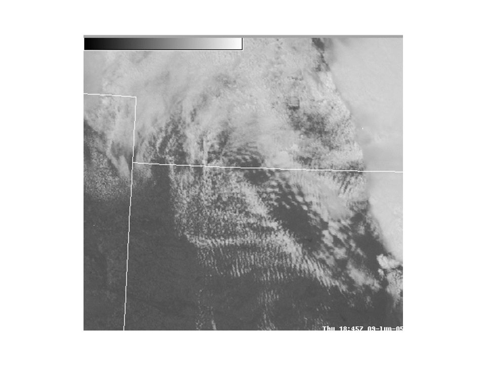
15
June 9, 2005 Example

19
Photo by Scott Blair, from http://www.targetarea.net http://www.targetarea.net

20
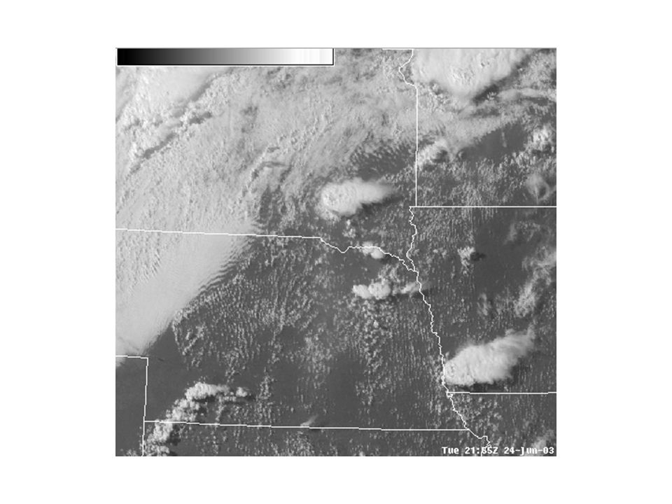
June 24, 2003 Example

24
© Alexandre Fierro

26
Inflow Feeder Clouds

28
May 20, 1998 Example

30
Towering Cumulus above the Rear- Flank Downdraft (RFD)
")
32
Hail diameter size = 7 cm F3 tornado slightly after this time

33
July 24, 2000 Example

34
+

35
Summary Much information can be obtained from satellite imagery: – Air mass identification. – Identification of changes in the pre-storm environment. – Monitor the changing environment during the nowcast time period. Particularly useful in data void regions.

Similar presentations


 R. Thompson What is ESTOFEX? What are the goals of ESTOFEX? How are the forecasts created? Difficulties and future work The European Storm Forecast.>")


>")


 is responsible for forecasts several times.>")

