Download presentation
Presentation is loading. Please wait.

1
Grey County GIS Overview Grey County Public Works Association – April 4, 2012

2
Talk Overview Poll – Who has used County GIS website? What is GIS Road type example Union Gas example Air Photo example

3
GIS is a System of computer software, hardware and data, and personnel to help manipulate, analyze and present information that is tied to a spatial location spatial location – usually a geographic location information – visualization of analysis of data system – linking software, hardware, data Geographic Information Systems (GIS) Spatial Location: Where is it? Species: Maple Height: 8m Age: 26yrs Species: Maple Height: 8m Age: 26yrs Attribute Information: What is it? 51 N 112 W Grey County Public Works Association – April 4, 2012

4
Database

5
Visualization Worth a thousand words

6
GIS Resources GIS web Site – http://maps.grey.cahttp://maps.grey.ca ELA (Enterprise License Agreement) recently signed with ESRI – You all have access to software Finance & Personnel – October 11, 2011
 recently signed with ESRI – You all have access to software Finance & Personnel – October 11, 2011")
7
Web-based interactive maps

8
Surface Types Red Tar & Chip Blue Surface Treated Grey Gravel

9
Union Gas Example Movie Finance & Personnel – October 11, 2011

10
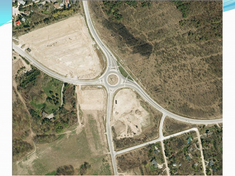
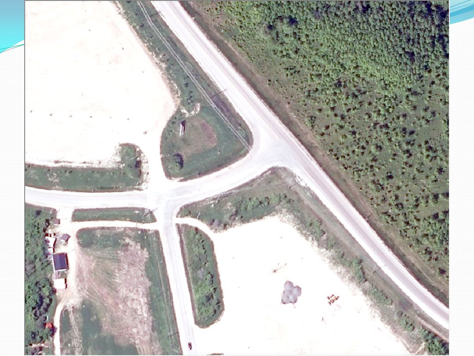
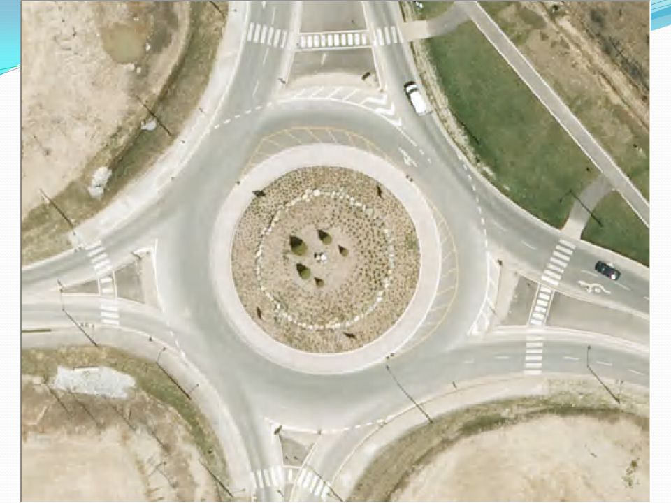
Airphoto Example Finance & Personnel – October 11, 2011

16
Web Site Demo Search Identify Mailing Labels Print Draw & Measure Collaborate

17
Discussion/Questions

Similar presentations


 Geography is the study of locational and spatial trends about the earth’s surface, the objects found on it, and the.>")


 integrates hardware, software, and data for capturing, managing,>")

