Download presentation
Presentation is loading. Please wait.

1
Burn Site Evaluation following California Wildfires Thomas E. Spittler California Geological Survey

2
Concurrent Approaches I.Watershed-Scale Modeling A.USFS BAER & Rowe, Countryman & Story B.USGS Regression Models Cannon & others II.Site-Specific Evaluations CGS, this method

3
Cannon & others, 2003, Old Fire. Rowe, Countryman & Story, 1949

6
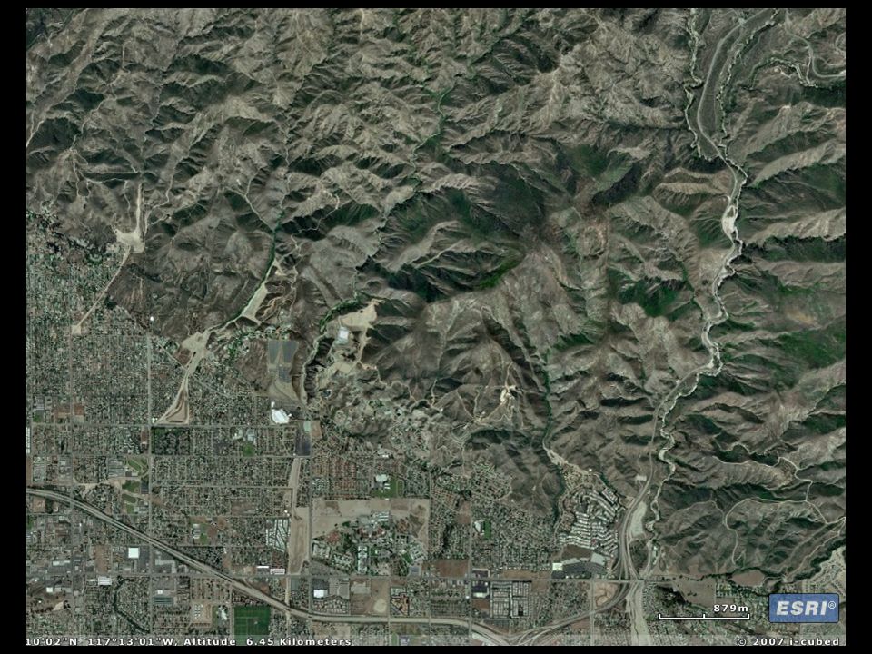
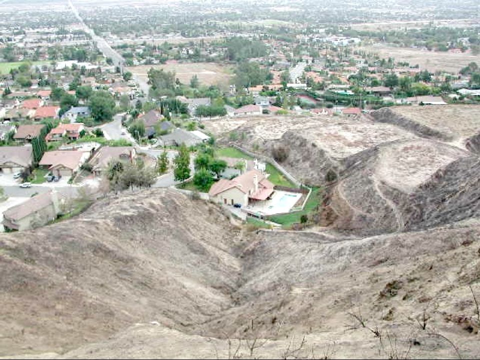
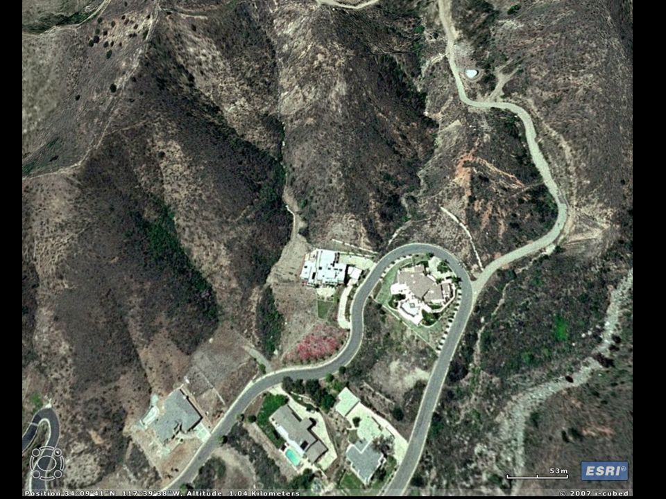
The Site-Specific Approach I.Systematically Evaluate Post-Fire Risks II.Consistently Document Conditions III.Consider a Wide Range of Concerns I.Interior Subwatersheds II.Other Landuses (Hiking Trails) IV.Deliver Product to the Correct People
 IV.Deliver Product to the Correct People")
9
The Site-Specific Approach I.Systematically Evaluate Post-Fire Risks II.Consistently Document Conditions III.Consider a Wide Range of Concerns I.Interior Subwatersheds II.Other Landuses (Hiking Trails) IV.Deliver Product to the Correct People
 IV.Deliver Product to the Correct People")
11
Site # Reviewer Date Address Quad Watershed/Drainage GPS location Sec., T., R., BL&M Photos: frames

12
Characterization Structure(s)/infrastructural element at risk: □ house □ business □ major road□ local road □ trailer □ tank □ culvert □ other
/infrastructural element at risk: □ house □ business □ major road□ local road □ trailer □ tank □ culvert □ other")
13
a.□ small watershed □ large watershed □ colluvial hollow □ steep slope □ cut slope □ other b. size ac. c. slope (average and range) d. □ channel channel grade Watershed hillslope feature characteristics:
 d. □ channel channel grade Watershed hillslope feature characteristics:.")
14
Other Information Geology Geomorphology Percentage Slope Burned Burn Severity

15
Type of Potential Hazard Flood Sediment concentrated flood Debris torrent Possible future landslide Other

16
Likelihood of Occurrence High (if impacted by a storm) Medium Low
 Medium Low")
17
Possible Risks to Lives Possible Risks to Property Potential for Engineered Mitigation

19
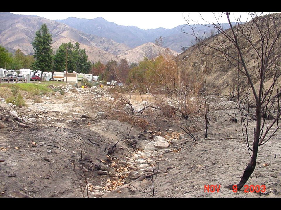
KOA Devore USGS Photo by Sue Cannon

20
The Site-Specific Approach I.Systematically Evaluate Post-Fire Risks II.Consistently Document Conditions III.Consider a Wide Range of Concerns I.Interior Subwatersheds II.Other Landuses (Hiking Trails) III.Other Types of Landslides IV.Deliver Product to the Correct People
 III.Other Types of Landslides IV.Deliver Product to the Correct People")
22
The Site-Specific Approach I.Systematically Evaluate Post-Fire Risks II.Consistently Document Conditions III.Consider a Wide Range of Concerns I.Interior Subwatersheds II.Other Landuses (Hiking Trails) IV.Deliver Product to the Correct People
 IV.Deliver Product to the Correct People")
23
SiteAt-riskStreetGPS locationHazardLikeli-Risk to livesRisk to property numberFeatureaddressLatitude NLongitude W hoodfirepre-existfirepre-exist 12109Houses 33683 & 33694 Green Valley Lane, Green Valley LakeN34.24119W117.06797 Flood, debris torrent, future landslidesHigh ModHighMod 12110House 701 Ridge Way Green Valley LakeN34.24043W117.06973 Flood, Sed- concentrated floodlow 12111House 33605 Falling Leaf Dr. Green Valley LakeN34.24000W117.07019 Flood, Sed- concentrated floodModlow Mod 12112Houses 33672 & 33668 Angels Dr., Green Valley LakeN34.24032W117.06893 Flood, Sed- concentrated floodlow 12113House 33544 & 33536 Falling Leaf Dr., Green Valley LakeN34.23949W117.07165 Sed- concentrated flood, flood, future slideModHighModHighMod California Geological Survey Burn Site Evaluation Summary Fire Name: Bold where risks are Moderate or High

24
REQUIREMENTS Trained Technical Staff Cooperation Between Agencies Background Resources –Maps, Photos –Google Earth or A RC Explorer High-Quality GPS GIS Support

25
Conclusion Post-fire hazard assessments ► Watershed modeling ► Site-specific review Systematic evaluations Consistent reporting Considerations beyond floods Delivery to public safety officials

Similar presentations


 September 8, 2009 Permitting and Compliance.>")


 Phase 1 – Steps 2-5 Extracted from Vermont ANR Stream Geomorphic Assessment Protocols.>")
