Download presentation
Presentation is loading. Please wait.

1
Environmental Modeling Weighting GIS Layers Weighting GIS Layers

2
1. A Hydrologic Model ► To estimate groundwater recharge in order to issue water pump permission ► Statistics: Multiple Regression Sophocleous, M., 1992. Groundwater recharge estimation and regionalization: the Great Bend Prairie of central Kansas and its recharge statistics. Journal of Hydrology, 137:113-140.

3
2. Variables ► Dependent variable: groundwater recharge

4
2. Variables ► Independent variables: 1. annual precipitation 2. soil-profile water storage during spring 3. depth to water table in spring 4. spring precipitation rate = spring precip/# of spring precip days 5. number of precip days during the year

5
At each location, collect values for both the dependent variable and the independent variables

6
3. Regression ► Independent variables 1-4 are included in the regression ► Independent variables 1-4 are included in the regression ► Variable 5 is excluded because the level of sig> 0.05 for F test ► Recharge = -48.8347 + 0.1917X 1 - 0.0829X 2 - 4.9594X 3 + 5.3639X 4 - 4.9594X 3 + 5.3639X 4 ► R 2 = 0.76

7
3. Regression ► Recharge = -145.6206 + 0.3449 precip R 2 = 0.5793 ► Recharge = -48.2453 + 0.2869 precip - 0.1097 soil water R 2 = 0.6895 ► Recharge = -9.3727 + 0.2459 precip - 0.0819 soils water – 5.2387 water level R 2 = 0.7381 ► Recharge = -48.8347 + 0.1917 precip - 0.0829 soil water – 4.9594 water level +5.3639 precip rate R 2 = 0.7575

8
Regression Results ► Analysis of variance DF Sum of Squares Mean Square Regression 3 97747.0918432583.03061 Residual36 7061.68316 196.15787 F = 166.10616Signif F = 0.0000 Multiple r 0.87328 R Square 0.76262 Adjusted R Square 0.75701 Standard Error 14.00564

9
Regression Results ► Variables in the Equation Variableb Se b Beta t Sig t X 1 0.1917 0.001715 0.7259986.262 0.0000 X 2 -0.08290.001219 -0.994050-16.161 0.0000 X 3 -4.959411.079785 -0.052423-0.4841 0.0310 X 4 5.36397.3908 7.9273-0.932 0.0926

10
4. GIS Overlay ► Extend the site-specific relationship to the entire study area ► The regression establishes a quantitative relationship between recharge and the independent variables Recharge = -48.8347 + 0.1917X 1 - 0.0829X 2 - 4.9594X 3 + 5.3639X 4 - 4.9594X 3 + 5.3639X 4 Recharge( ) = -48.8347 + 0.725998 X 1 - 0.994050 X 2 - 0.052423 X 3 + 7.9273 X 4 - 0.994050 X 2 - 0.052423 X 3 + 7.9273 X 4
 = X X X X X X X 4.")
11
4. GIS Overlay ► This result is derived from point locations. We need to estimate recharge for the entire study area

13
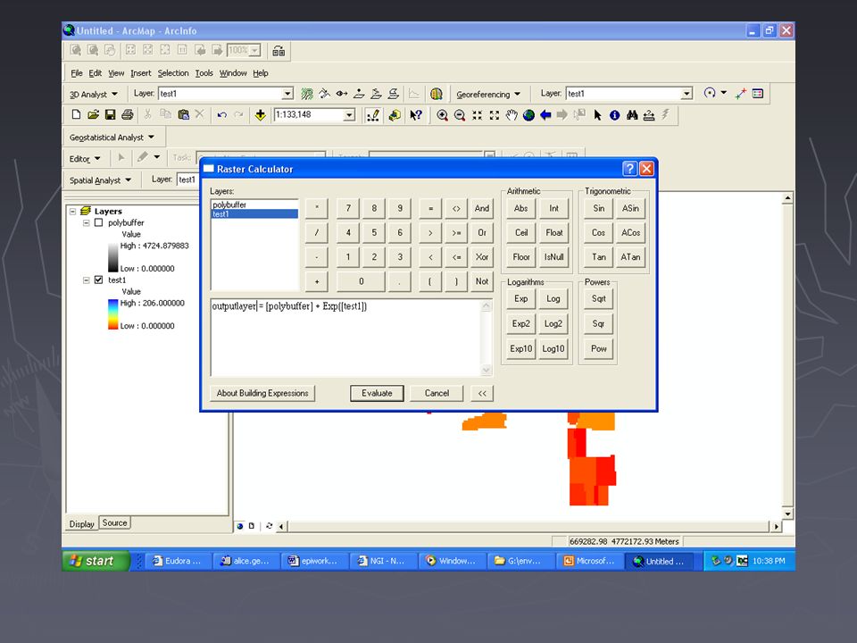
4. GIS Overlay ► For any location that has values for the four independent variables, we can calculate the recharge for that location ► The values of the four independent variables can be obtained from GIS layers, one layer for each independent variable

14
4. GIS Overlay ► GIS layers 1. annual precipitation, NCDC, spatial interpolation interpolation 2. spring soil storage, data? 3. depth to water table, well log, spatial interpolation 4. spring precipitation rate, climatic stations

15
X 1 : Annual Precipitation

16
X 2 : Spring Soil Storage

17
X 3 : Depth to Water Table

18
X 4 : Spring precipitation Rate

19
4. GIS Overlay ► Recharge potential = - 48.8347 + 0.1917 X 1 (annual precip) - 0.0829 X 2 (spring soil storage) - 4.9594 X 3 (depth to water table) + 5.3639 X 4 (spring precip rate) ► The result is a potential groundwater recharge map with a 0.76 accuracy
 X 2 (spring soil storage) X 3 (depth to water table) X 4 (spring precip rate) ► The result is a potential groundwater recharge map with a 0.76 accuracy.")
21
Independent Variable 1: Land Cover Change

22
Independent Variable 2: Human Development Index

23
Independent Variable 3: Population Value

24
Independent Variable 4: Land Cover

25
Independent Variable 5: Soil Moisture

26
Dependent Variable: Predicted Land Cover

27
Results

Similar presentations


 measures the strength of the linear relationship.>")


 Maps as layers of geographic information Desire to ‘automate’ map Evolution of GIS –Create automated mapping.>")


