Download presentation
Presentation is loading. Please wait.

2
The Ocean Floor and Margins Chapter 14

3
The vast world ocean Earth is often referred to as the blue planet Seventy-one percent of Earth’s surface is represented by oceans and marginal seas Continents and islands comprise the remaining 29

4
Views of the Northern and Southern hemispheres

5
The vast world ocean Four main ocean basins Pacific Ocean - the LARGEST and has the GREATEST DEPTH. Atlantic Ocean – about HALF the size of the Pacific and not quite as deep. Indian Ocean – SLIGHTLY SMALLER THAN the ATLANTIC. Arctic Ocean – about 7 PERCENT the SIZE OF the PACIFIC.

6
The oceans of Earth

7
Mapping the ocean floor Bathymetry – measurement of ocean depths and the charting of the shape or topography of the ocean floor Echo sounder (also referred to as SONAR) Primary instrument for measuring depth Reflects sound from ocean floor
 Primary instrument for measuring depth Reflects sound from ocean floor")
8
EXAMPLES: LeadlineSingle Beam Multibeam 1-2 K soundings per survey 500 - 750 K soundings per survey 400,000 – 1,000,000 K soundings per survey Image courtesy of NOAA & UNH

9
Echo sounder

10
Multibeam sonar

11
Careful coverge to map the seafloor

12
Mapping the ocean floor Three major topographic units of the ocean floor Continental margins Ocean basin floor Mid-ocean ridge

13
Major topographic divisions of the North Atlantic Ocean

14
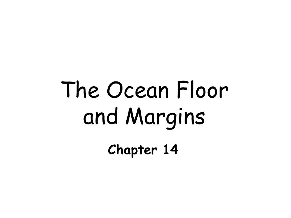
Seafloor Features: Continental Margins Continental shelf - extends from shore to a point marked by great increase in slope Continental slope - steep slope beyond the continental shelf break Submarine canyons Deep, steep-sided valleys cut into the continental slope. eroded by turbidity currents (dense mudflows) or seaward extensions of river valleys.
 or seaward extensions of river valleys..")
15
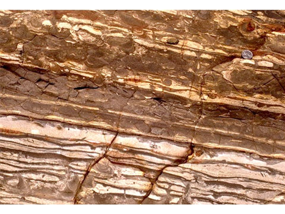
Continental rise (thick accumulation of sediment at base of continental slope) found in regions where trenches are absent
 found in regions where trenches are absent")
16
Continental Margin CONTINENTAL SHELF CONTINENTAL SLOPE CONTINENTAL RISE

17
Turbidity currents (currents of mud and water) flow down the continental margin
 flow down the continental margin")
21
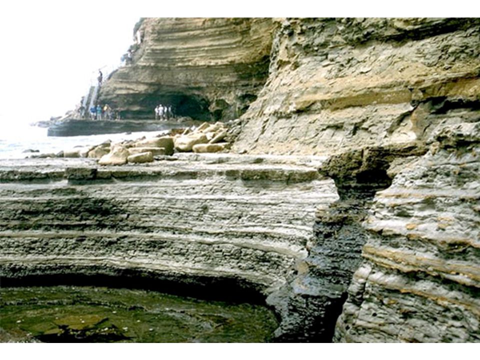
Features of continental margins

23
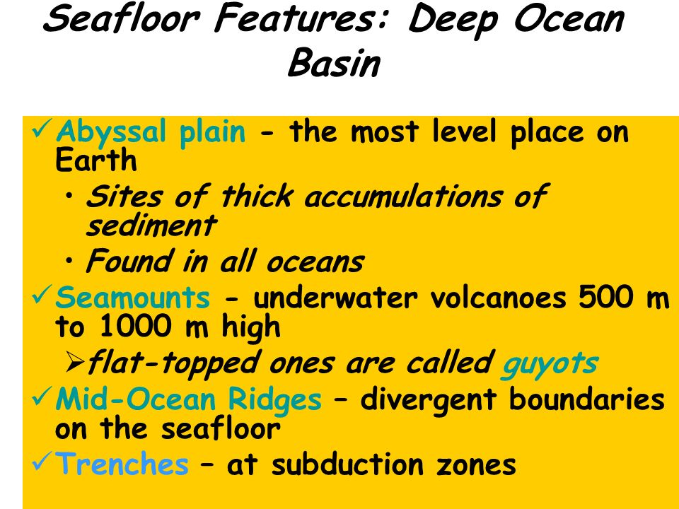
Seafloor Features: Deep Ocean Basin Abyssal plain - the most level place on Earth Sites of thick accumulations of sediment Found in all oceans Seamounts - underwater volcanoes 500 m to 1000 m high flat-topped ones are called guyots Mid-Ocean Ridges – divergent boundaries on the seafloor Trenches – at subduction zones

24
TRENCH ABYSSAL PLAIN GUYOT SEAMOUNT

25
Continental margins Passive continental margins No subduction

26
Passive Continental Margin

27
Features of a passive continental margin

28
Passive Continental Margin PASSIVE CONTINENTAL MARGIN

29
Continental margins Active continental margins Subduction

30
An active continental margin

31
Active Continental Margin

32
ACTIVE CONTINENTAL MARGIN

33
Label the Diagrams on the Seafloor Worksheet

34
Seafloor sediments Mud is the most common sediment on the deep-ocean floor

35
Carbonate Compensation Depth

36
Distribution of marine sediments

37
Ocean Water and Ocean Life Chapter 15

38
Composition of seawater Seawater consists of about 3.5% (by weight) dissolved minerals. Salinity Total amt. of solid material dissolved in water Average salinity is 3.5% Major constituent is sodium chloride would = Layer of salt 200 ft thick over entire ocean floor

39
Relative proportions of water and dissolved components in seawater

40
Where do the Dissolved Minerals come from? Chemical weathering of rocks on the continents carried by rivers (adds sodium+) Volcanic outgassing (adds chlorine and sulfur+)
 Volcanic outgassing (adds chlorine and sulfur+).")
41
Destination of Dissolved Mineral Solids Salinity of seawater does not change, so material must be removed as fast as it is delivered. Where does it all go? Hard parts of plants and animals, e. g. sea shells Chemical sedimentary rocks

42
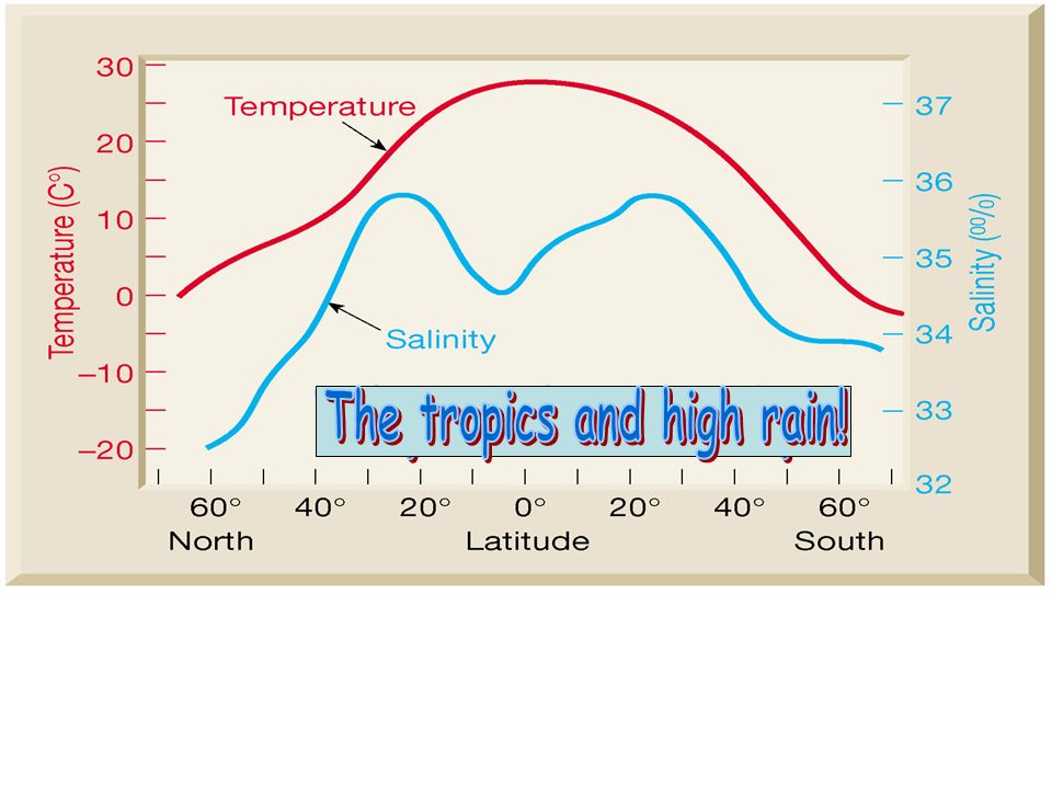
Variations in Salinity (page 409) High salinity Areas of high evaporation Low salinity Areas of high rain (tropics) or at the mouths of rivers (Gulf of Mexico)
 High salinity Areas of high evaporation Low salinity Areas of high rain (tropics) or at the mouths of rivers (Gulf of Mexico)")
45
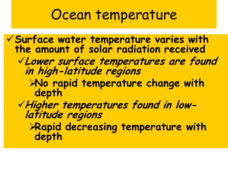
Ocean temperature Surface water temperature varies with the amount of solar radiation received Lower surface temperatures are found in high-latitude regions No rapid temperature change with depth Higher temperatures found in low- latitude regions Rapid decreasing temperature with depth

46
Variations in ocean water temperature with depth (fig. 21-3 on page 410) Temperature of Ocean Water #32
 Temperature of Ocean Water #32.")
47
Ocean density Factors affecting seawater density Salinity Temperature - the greatest influence Fresh vs. saltwater density

48
Variations in ocean water temperature with depth (fig. 21-3 on page 410)
")
49
Variations in ocean water density with depth

50
Layering in the ocean

51
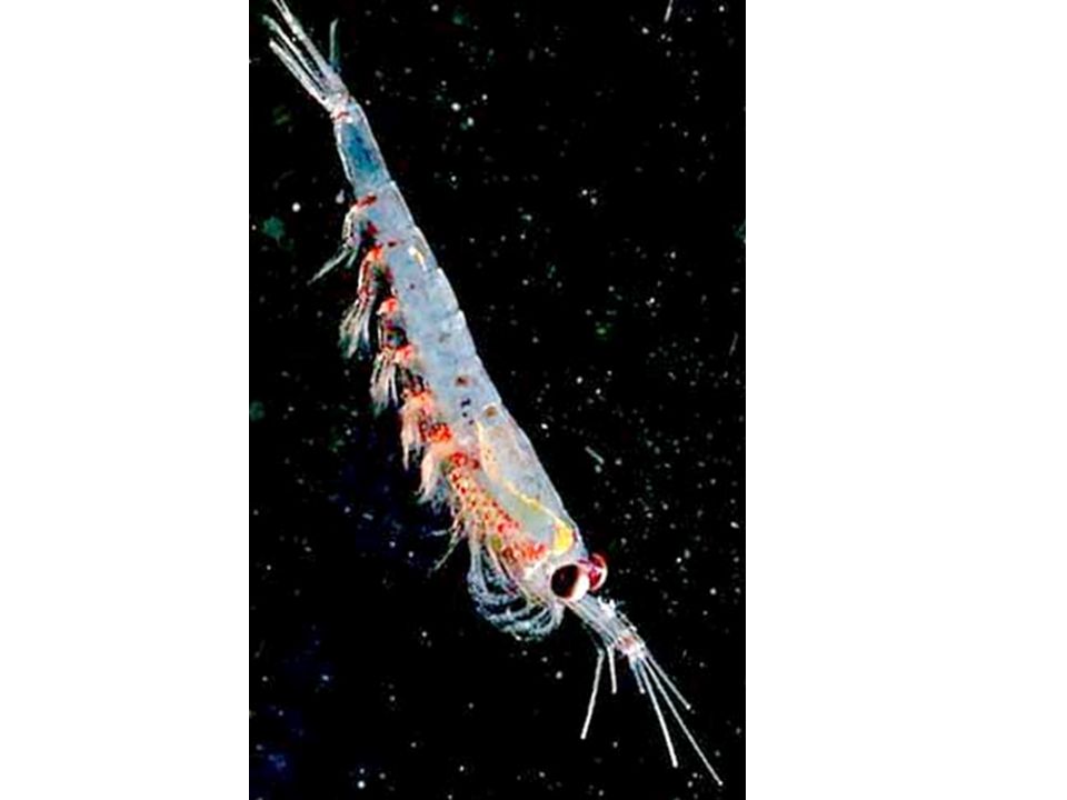
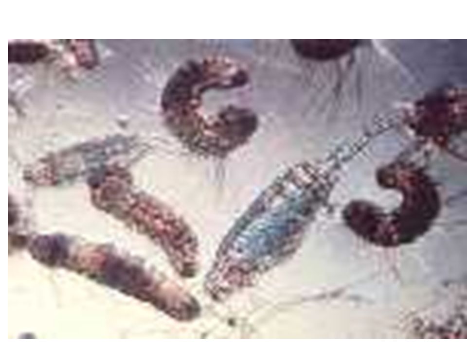
Ocean life Most organisms live within the sunlight surface waters (photosynthesis) Classification of marine organisms Plankton (floaters) like algae and zooplankton
 Classification of marine organisms Plankton (floaters) like algae and zooplankton")
58
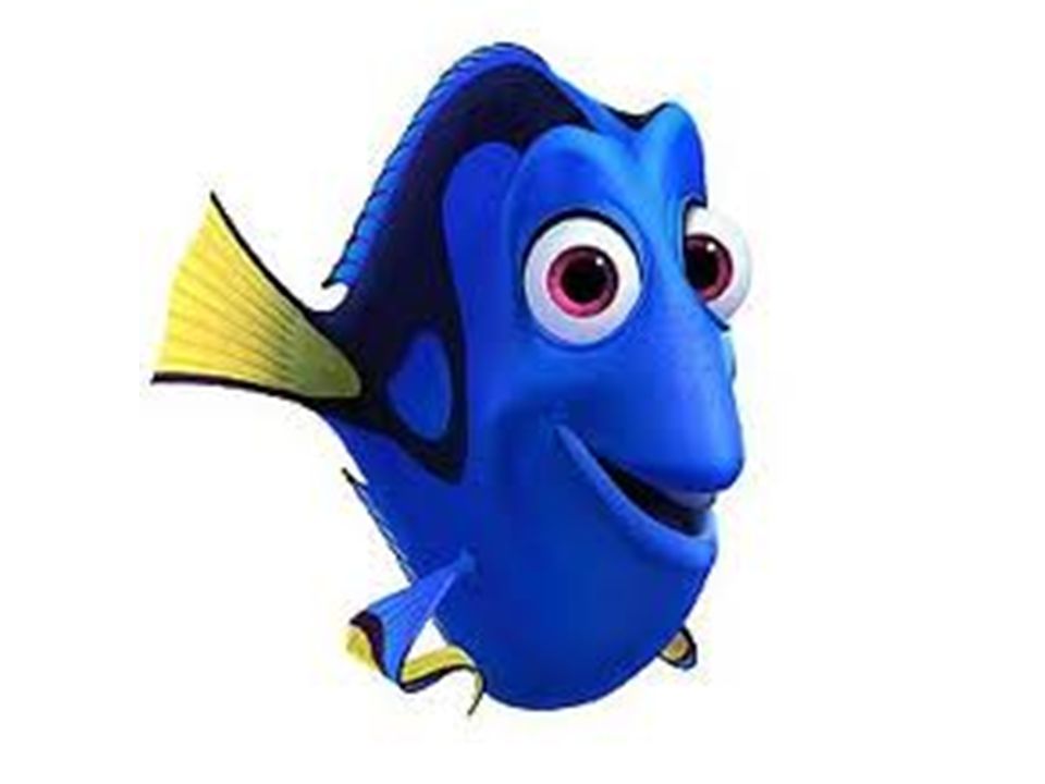
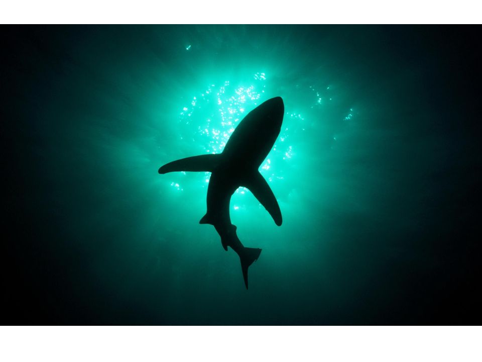
Ocean life Nekton (swimmers)
")
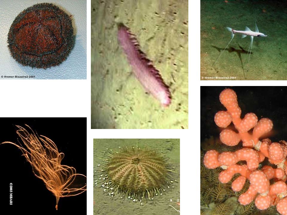
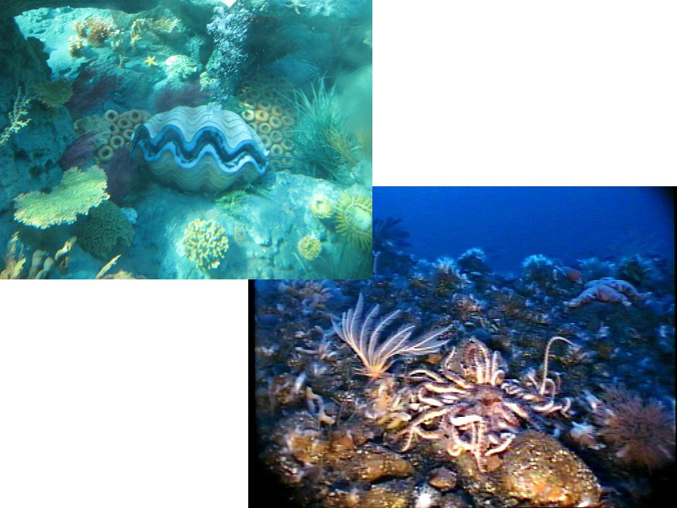
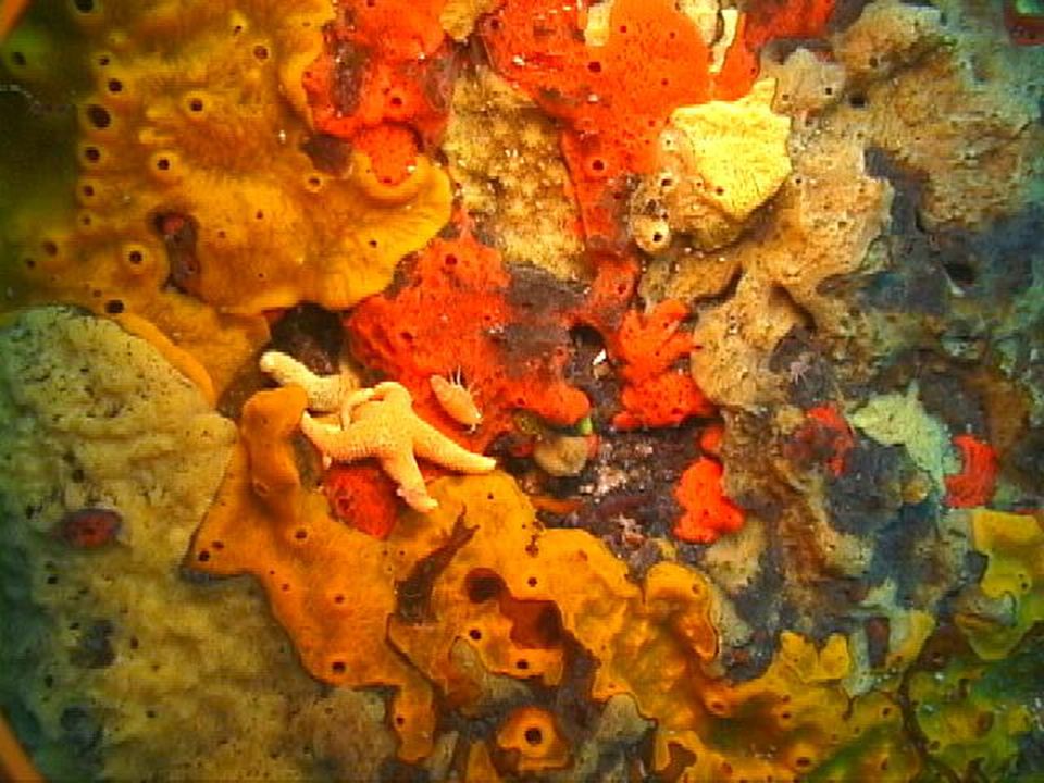
63
Ocean life Benthos (bottom dwellers)
")
70
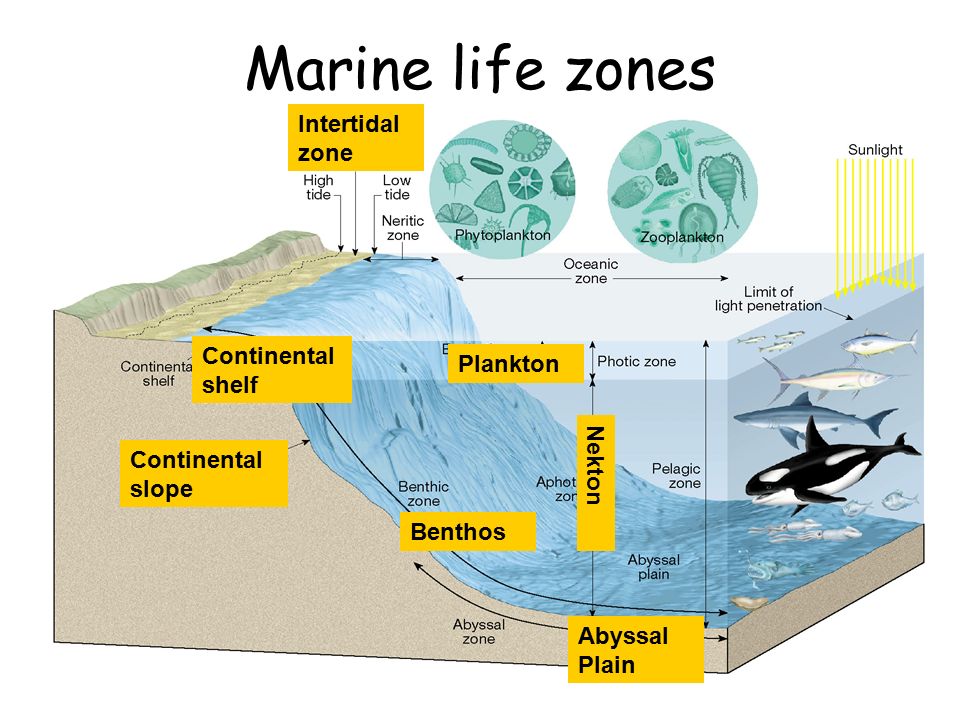
Marine life zones Plankton N e k t o n Benthos Continental slope Continental shelf Abyssal Plain Intertidal zone

71
Chapter 16 The Dynamic Ocean

72
Ocean water movements Surface circulation Surface currents develop from friction between the ocean and the WIND that blows across the surface

73
Average ocean surface currents in February-March

74
Ocean water movements Surface circulation Deflected by the Coriolis effect To the right in the Northern Hemisphere To the left in the Southern Hemisphere

75
Ocean water movements Upwelling The rising of cold water from deeper layers Caused by surface winds Brings greater concentrations of dissolved nutrients to the ocean surface

77
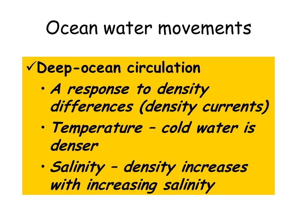
Ocean water movements Deep-ocean circulation A response to density differences (density currents) Temperature – cold water is denser Salinity – density increases with increasing salinity
 Temperature – cold water is denser Salinity – density increases with increasing salinity")
78
Layering in the ocean

79
Copyright N.W. Driscoll, Woods Hole Oceanographic Institute Thermohaline Oceanic Circulation

80
Idealized “conveyor belt”model of ocean circulation Cold, higher salinity Warm, lower salinity

81
Demos Home page

82
Waves On The Beach As the wave travels in shallower water it slows and eventually falls forward as a breaker.

83
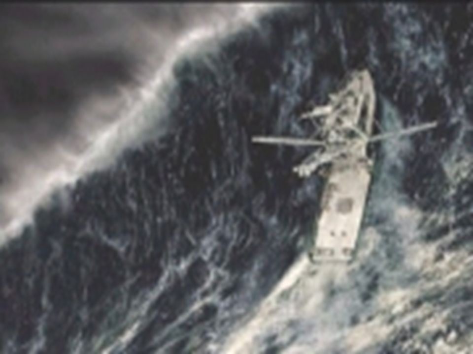
Wind or Storm Waves The most familiar waves are wind generated.

87
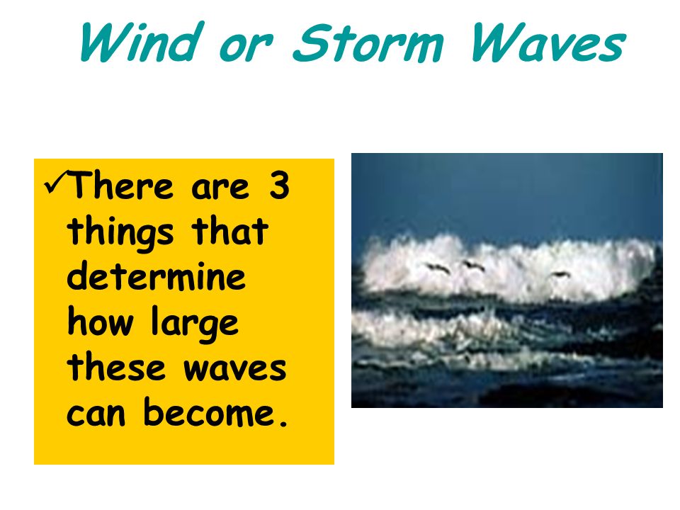
Wind or Storm Waves There are 3 things that determine how large these waves can become.

88
1.Wind speed 2.Wind duration - time 3.Fetch – distance over which the wind blows

89
Breakers

90
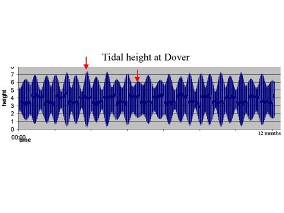
Tides Tides are caused mainly by the gravitational pull of the moon.

91
Idealized TIDAL BULGES on the Earth

92
As the earth rotates, two high tides and two low tides occur each day

93
Tides Monthly tidal cycle Spring tide During new and full moons Gravitational forces of the moon and the sun added together Especially high and especially low tides Large daily tidal range

94
Earth-Moon-Sun positions during the Spring tide (sun,moon, earth all lined up)
")
95
High tide in the Bay of Fundy along the Nova Scotia coast

96
Low tide in the Bay of Fundy along the Nova Scotia coast

97
Life in the tidal flats is exposed at low tide

98
Hydroelectric Power here is highly productive, but endangers the salt marshes and local habitat.

99
Tides Monthly tidal cycle Neap tide First and third quarters of the Moon Daily tidal range is least

100
Earth-Moon-Sun positions during the Neap tide (sun, moon and earth form right angle)
")
101
Label Diagrams in notes as Spring and Neap Tide

Similar presentations


 Average depth of 3.6 km 2. Pacific largest ocean and feature on Earth’s surface a) Contains.>")
 Depth = (time x 1500 m/sec)/2 (round trip) At 25 degrees.>")


, Indian (3.96km), Pacific (4.0km), Arctic (1.2km) and.>")