Download presentation
Presentation is loading. Please wait.

1
3.3 Notes

2
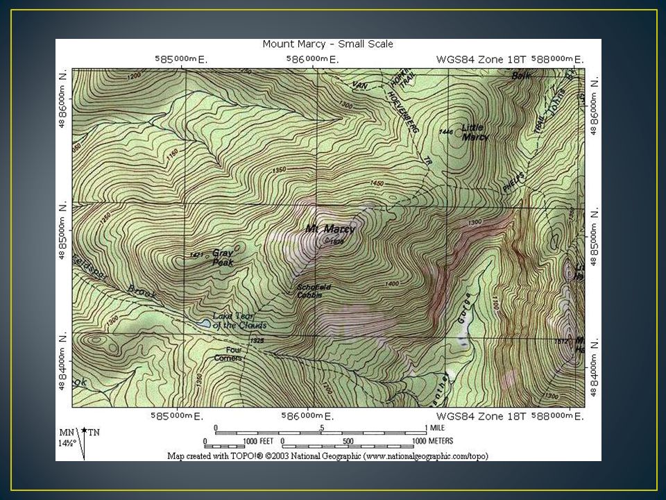
Topographic Maps A topographic map is a map that shows the surface features, or topography, or the Earth. Most topographic maps show natural and man-made features. These maps are made using a combination of aerial photographs and survey points collected in the field.

3
Topographic maps show elevation, height above sea level. The mean sea level is the highest and lowest tide levels of the ocean. The elevation at mean sea level is 0. Contour lines show elevation on a topographic map. These lines connect points of the same elevation. The shape of the lines reflect the shape of the land.

4
A contour interval shows the difference in elevation between one contour line and the next. The contour interval determines the elevation at which each contour line is drawn. For example, if the contour interval is 10m, then contour might be 10m, 20m, 30m, etc… Every fifth line, index contours, is printed bolder than the others to make it easier to read.

5
Elevations between contour lines can be estimated. Exact elevations are stated and generally marked with an X. The relief is the difference in elevation between the highest and lowest points of the area being mapped. Contour lines spaced widely apart indicate that the change in elevation is gradual and that the land is relatively level.

6
Contour lines that are nearly touching indicate extremely steep terrain such as a cliff. Contour lines spaced close together indicate that the change in elevation is rapid. Lines that bend to form a V-shape indicate a valley, the V points toward the higher end of the valley or upstream if a river flows through it.

7
Contour lines that form loops indicate a hilltop. Contour lines that form loops with marks on them indicate depressions (Ex. Lake), these lines are called depression contours. The marks point in the direction of the depression.
, these lines are called depression contours. The marks point in the direction of the depression..")
Similar presentations


>")


