Download presentation
Presentation is loading. Please wait.

1
China’s Main Rivers: The Yellow River and the Yangtze Objective: By the end of today’s lesson you should be able to list the two major rivers in China, as well as their importance.

3
China’s Geography Yellow River The two major rivers of China are the Yellow River: Huang He and the Yangtze River: Chang Jiang. The two major rivers of China are the Yellow River: Huang He and the Yangtze River: Chang Jiang. –The Huang He, or Yellow River, gets its name from the rich yellow soil it carries as it flows across China. –It was also called “China’s sorrow” because when it over-flooded, many people drowned and homes were destroyed. –It helped make the soil fertile by leaving behind a rich layer of topsoil.

5
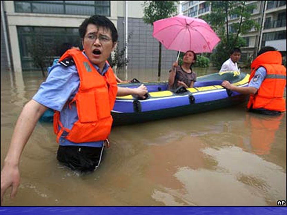
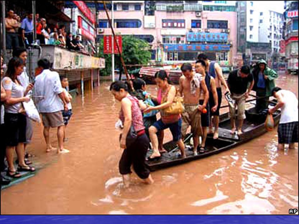
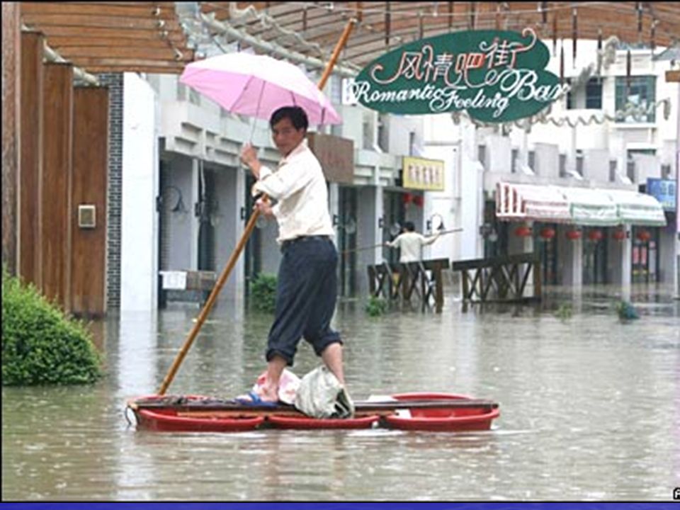
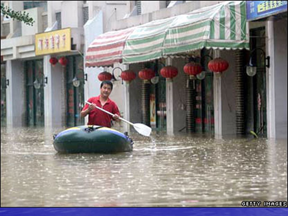
Residents survey the damage to houses that collapsed during the flooding in Guangan.

11
China’s Geography Yangtze River The Chang Jiang or Yangtze River also brings rich topsoil to it’s river valley which helped in farming. The Chang Jiang or Yangtze River also brings rich topsoil to it’s river valley which helped in farming. Outside it’s river valleys, only one-tenth of China’s land can be farmed because mountains and deserts cover most of it’s land. Outside it’s river valleys, only one-tenth of China’s land can be farmed because mountains and deserts cover most of it’s land. The Himalaya close off China to the southwest. The Himalaya close off China to the southwest. The Kunlun Shan and Tian Shan Mountains close off China’s western border. The Kunlun Shan and Tian Shan Mountains close off China’s western border. The Gobi Desert spreads east from the mountains. The Gobi Desert spreads east from the mountains.

12
China’s Geography Mountains and deserts Mountains and deserts shaped Chinese history because they were like a wall which separated China from most other people. What other civilization have we talked about that was separated from other countries? India China’s first civilization developed along the Huang He (Yellow) River Valley. China’s first civilization developed along the Huang He (Yellow) River Valley. Over time the Chinese people united and created a homeland they called “The Middle Kingdom” which they believed was the world’s center. Over time the Chinese people united and created a homeland they called “The Middle Kingdom” which they believed was the world’s center. The Chinese developed a unique way of life that lasted into modern times. The Chinese developed a unique way of life that lasted into modern times.
 River Valley. China’s first civilization developed along the Huang He (Yellow) River Valley. Over time the Chinese people united and created a homeland they called The Middle Kingdom which they believed was the world’s center. Over time the Chinese people united and created a homeland they called The Middle Kingdom which they believed was the world’s center. The Chinese developed a unique way of life that lasted into modern times. The Chinese developed a unique way of life that lasted into modern times..")
13
- Early Chinese writing used pictographs and ideographs. - Pictographs are characters that stand for objects. - Ideographs join two or more pictographs to represent an idea. - Most Chinese characters represent whole words. The Chinese Language

Similar presentations