Download presentation
Presentation is loading. Please wait.

1
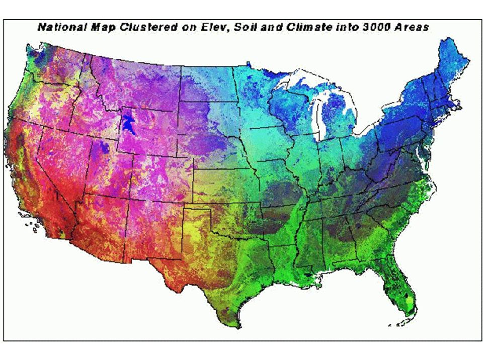
Physiographic Regions of Georgia

2
Region An area on Earth’s surface that is defined by certain unifying characteristics (cultural, physical, or human) An area on Earth’s surface that is defined by certain unifying characteristics (cultural, physical, or human)
 An area on Earth’s surface that is defined by certain unifying characteristics (cultural, physical, or human)")
3
Appalachian Plateau

4
Plateau

5
Size/Location Elevation 300 square miles NW corner (TAG- TN,AL,GA Corner) of Georgia 800-2000 feet
 of Georgia feet")
6
Landforms Broad flat topped mountains separated by ridges of limestone Limestone caves, deep canyons, interesting rock formations, waterfalls

7
Soil/Rocks, minerals sandstone, shale, limestone

8
Resources/Crops Appalachian Oak Forests cover most of it. pastures Coal –the only source of coal in Georgia

9
Cities/Places of Interest Sand Mountain Lookout Mountain Long narrow valley between these mts. Cloudland Canyon Chickamauga-civil war battle site

10
How formed/Other features Plates under the earth’s crust collided causing the crust to fold and wrinkle causing hills and mountains

11
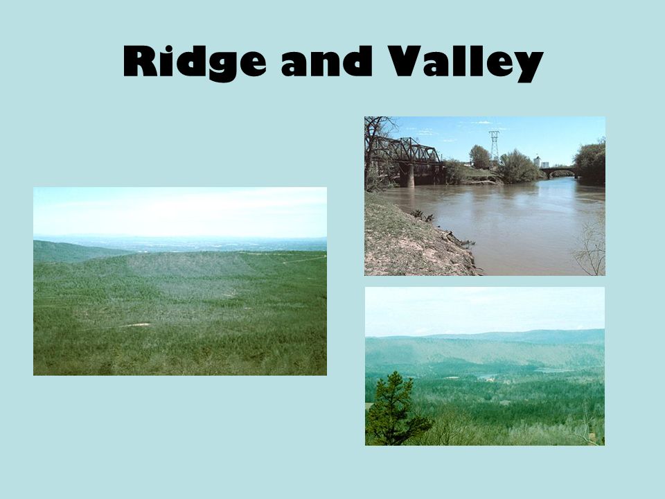
Ridge and Valley

13
Size/Location Elevation most of NW Georgia 700-1600 feet

14
Landforms long, parallel ridges wide rolling valleys

15
Soil/Rocks, minerals sedimentary rock sandstone ridges limestone and shale valleys

16
Resources/Crops Forests, pastures Apple orchards, wheat, cotton, hardwoods, pines, 4% of Georgia’s farmland timber

17
Cities/Places of Interest Taylor Ridge, Pigeon Mountain Dalton –Carpet industry – more than 70 carpet manufacturing plants

18
How formed/Other features Plates under the earth’s crust collided causing the crust to fold and wrinkle causing hills and mountains

19
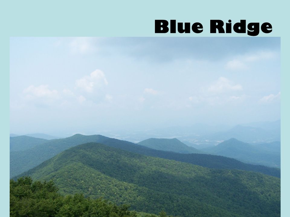
Blue Ridge

23
Size/Location Elevation most of NE Georgia 2000 square miles 1600-4800 feet

24
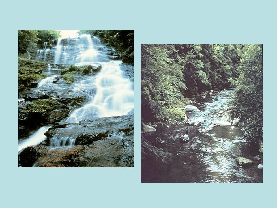
Landforms highest mountains in Appalachian highlands Rivers begin here. steep slopes waterfalls

25
Soil/Rocks, minerals clay, sand erosion High precipitation – provides water for the entire state

26
Resources/Crops Hardwood forests apples Small vegetable farms

27
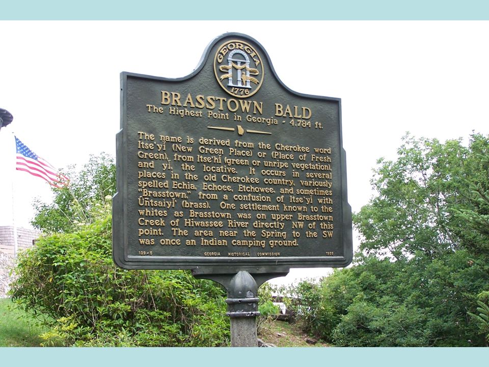
Cities/Places of Interest Chattahoochee National Forest Brasstown Bald (treeless on top) 4,784 ft. Amicalola falls Tallulah Gorge Helen

28
Other Features Springer Mountain –start of the Appalachian Trail which stretches from Georgia to Maine (2,144 miles)
")
29
How formed/Other features Plates under the earth’s crust collided causing the crust to fold and wrinkle causing hills and mountains

30
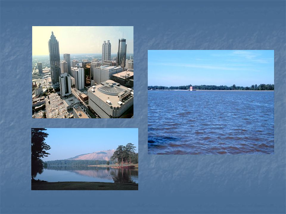
Piedmont “foot of the mountain”

31
Piedmont

33
Size/Location Elevation 30% of state 30% of state between the Coastal Plain and the mountains between the Coastal Plain and the mountains 500-1700 feet 500-1700 feet

34
Landforms Gently, sloping hills, flatlands Gently, sloping hills, flatlands valleys valleys many streams and rivers many streams and rivers ravines ravines

35
Soil/Rocks, minerals red clay, sandy loam red clay, sandy loam fertile soil fertile soil bedrock bedrock large areas of solid rock just below the earth’s surface large areas of solid rock just below the earth’s surface often exposed where soil has washed away often exposed where soil has washed away granite, gneiss, marble granite, gneiss, marble

36
Resources/Crops oak-hickory-pine forests oak-hickory-pine forests marble, granite marble, granite cotton, soybeans, wheat, poultry, cattle cotton, soybeans, wheat, poultry, cattle

37
Cities/Places of Interest Athens Athens Atlanta Atlanta Milledgeville Milledgeville Six Flags Six Flags Zoo Atlanta Zoo Atlanta Stone Mountain Stone Mountain

38
Other features 60% of Georgia’s population lives here. 60% of Georgia’s population lives here. Chattahoochee, Flint, Ocmulgee, Oconee Rivers Chattahoochee, Flint, Ocmulgee, Oconee Rivers

39
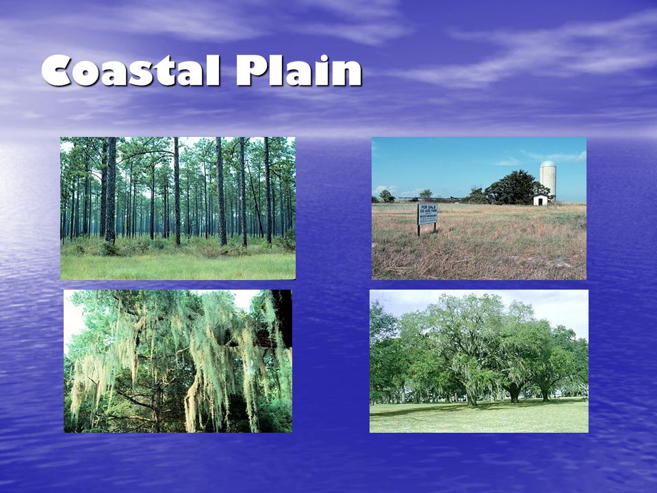
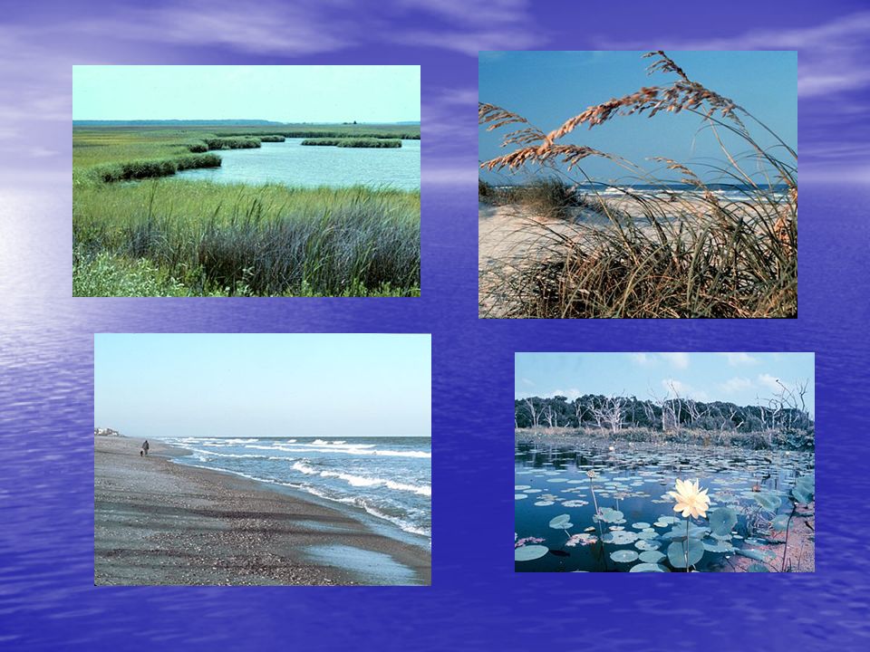
Coastal Plain

42
Size/Location Elevation 60% of state 60% of state lower half of the state lower half of the state 0-400 feet 0-400 feet

43
Landforms Two parts Two parts – Inner Coastal Plain – Outer Coastal Plain flat with low relief flat with low relief gentle slopes gentle slopes wide, deep, slow rivers wide, deep, slow rivers

44
Soil/Rocks, Minerals Limestone, sand, clay Limestone, sand, clay Outer coastal plain -- poorly drained Outer coastal plain -- poorly drained Inner Coastal plain -- fertile soil, underground water Inner Coastal plain -- fertile soil, underground water

45
Resources/Crops Outer Coastal Plain Outer Coastal Plain –some swampy areas –Used for pasture and timber –shrimp and fish Inner Inner –crops such as peanuts, cotton, Vidalia onions, corn, soybeans, peaches, pecans timber timber

46
Cities/Places of Interest Savannah, Columbus, Macon, Augusta, Albany, Valdosta Savannah, Columbus, Macon, Augusta, Albany, Valdosta Okefenokee Swamp – freshwater wetland Okefenokee Swamp – freshwater wetland

47
once covered by ocean once covered by ocean Barrier Islands Barrier Islands – protect beaches by blocking sand, wind, water – tourism, recreation, wildlife sanctuaries Continental shelf Continental shelf – very wide – reduces the chance of hurricanes Other features

48
Fall Line Point at which hilly or mountainous lands meet the coastal plain Columbus, Macon, Augusta Waterfalls provide a power source

Similar presentations


:>")


